
- Brief description
-
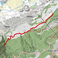
Part of the "From Chalais to the Chalets" educational trails, this path crosses the village of Réchy from above and leads to the old coal mines.
- Difficulty
-
medium
- Rating
-
- Starting point
-
Maison Bourgeoisiale de Réchy
- Route
-
Schalei (557 m)Réchy1.3 kmAncienne mine de charbon2.3 km
- Best season
-
JanFebMarAprMayJunJulAugSepOctNovDec
- Description
-
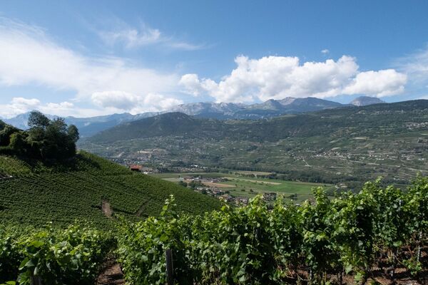
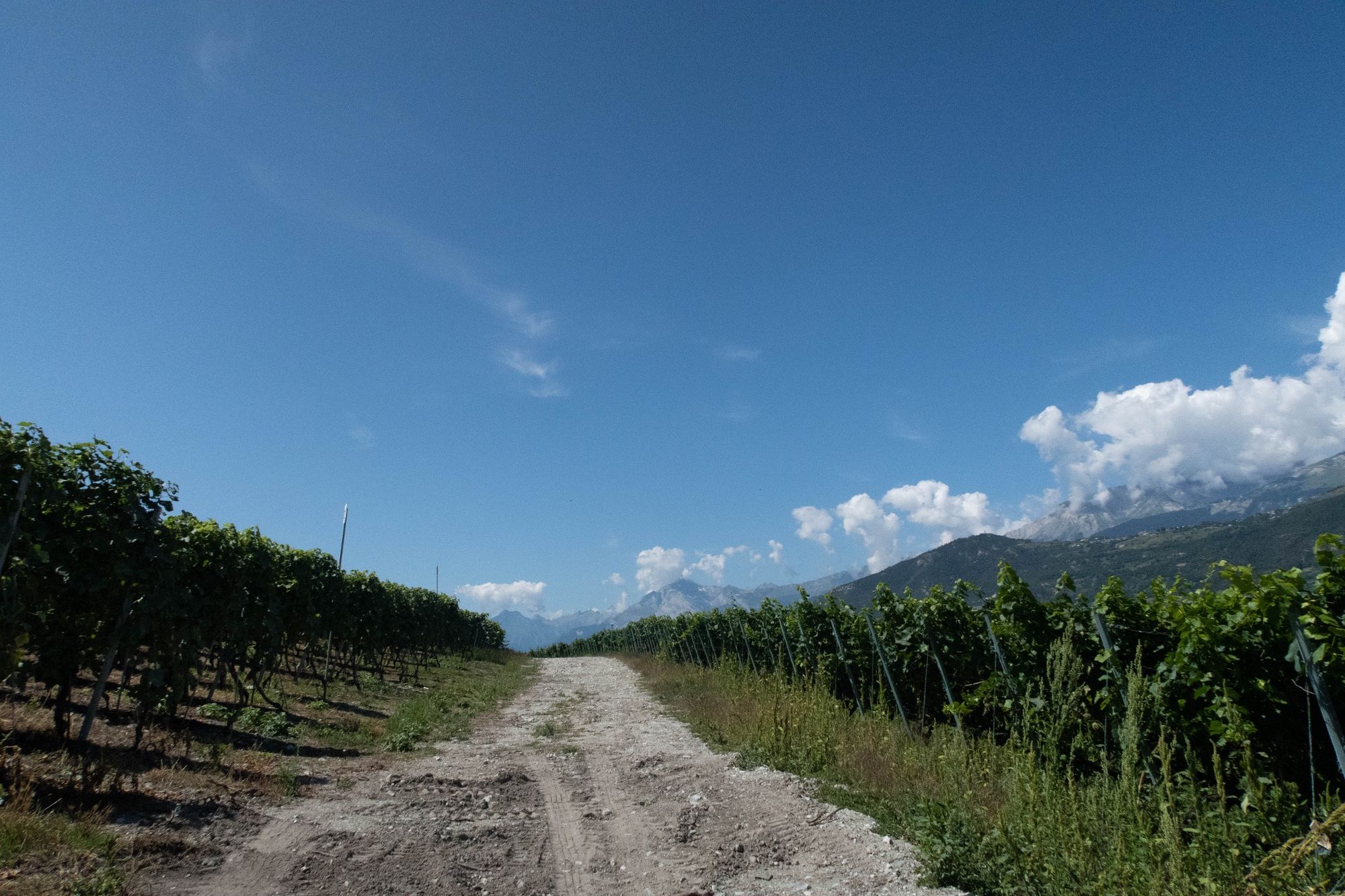
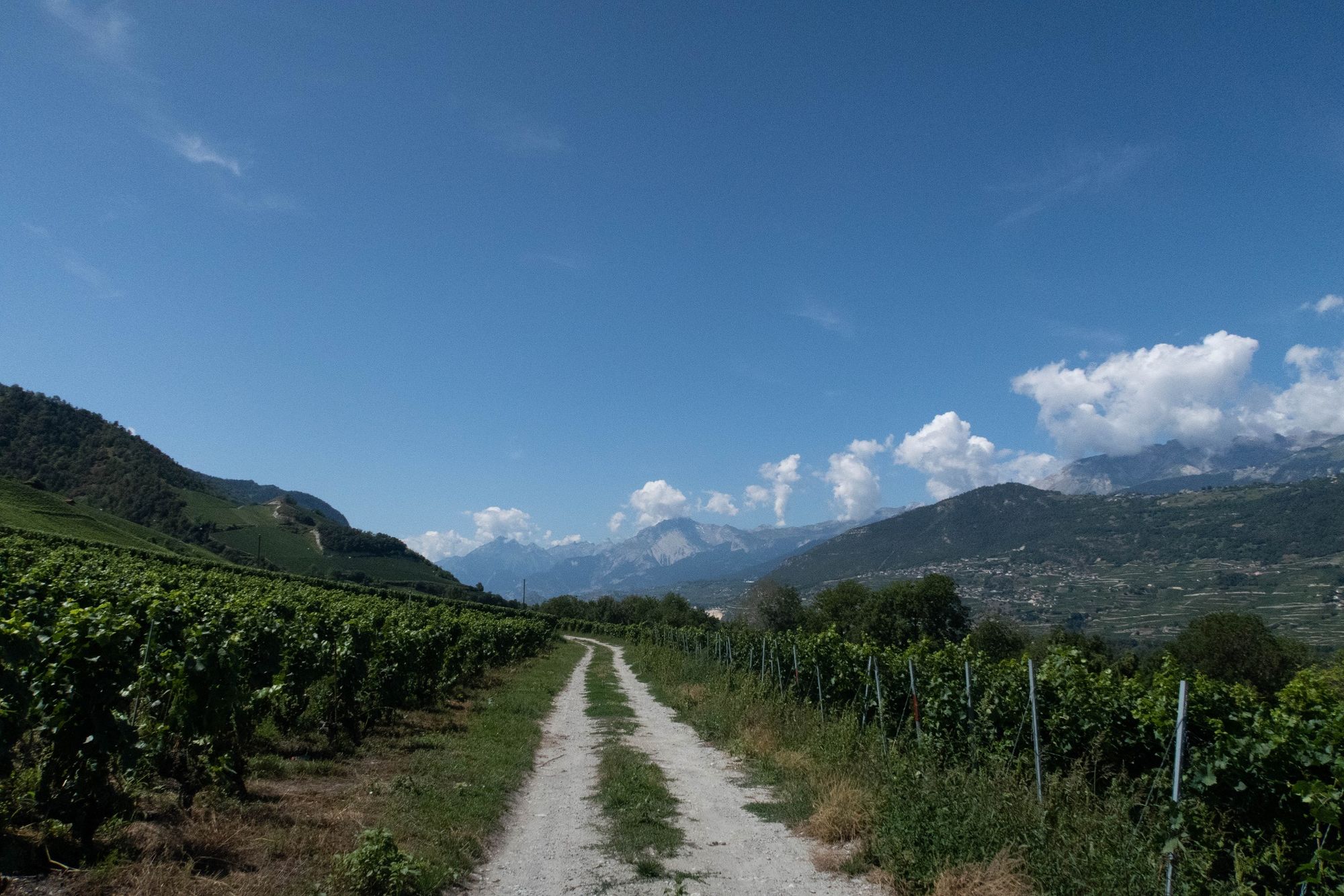
This two-way educational trail links the villages of Chalais and Réchy, before crossing the village of Réchy and leading hikers to the old coal mines. The "From Chalais to the Chalets" educational trails highlight a number of heritage features along the way, including the vineyards, old buildings, the castle and the mills. A 7km loop takes you along 3 educational trails to get back to the starting point: via Chalais, via Le Ricard and via La Ferme.
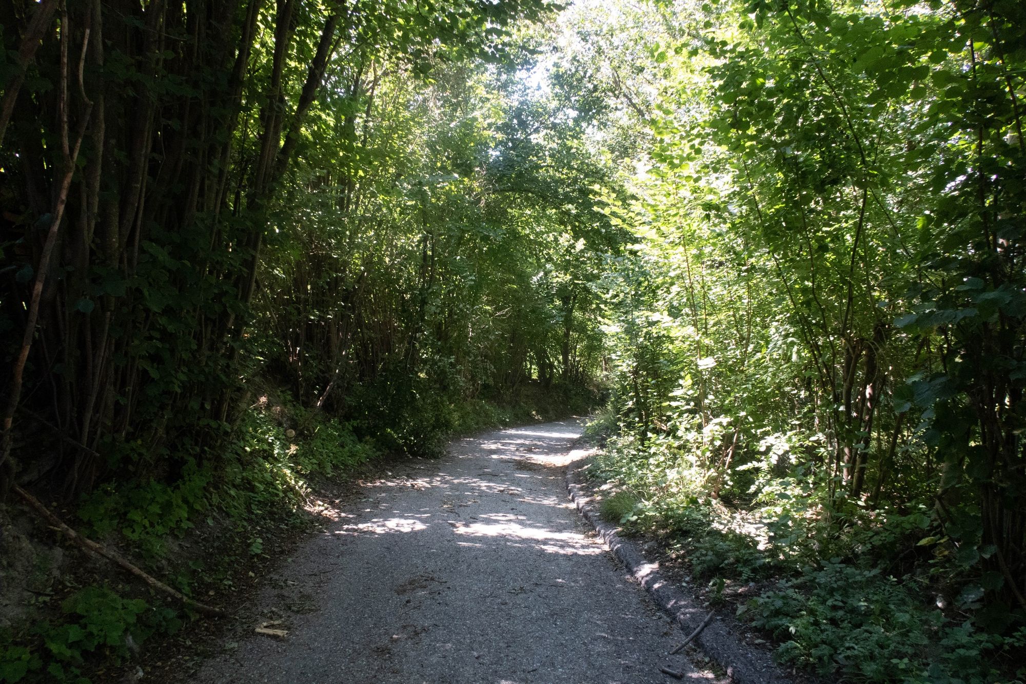
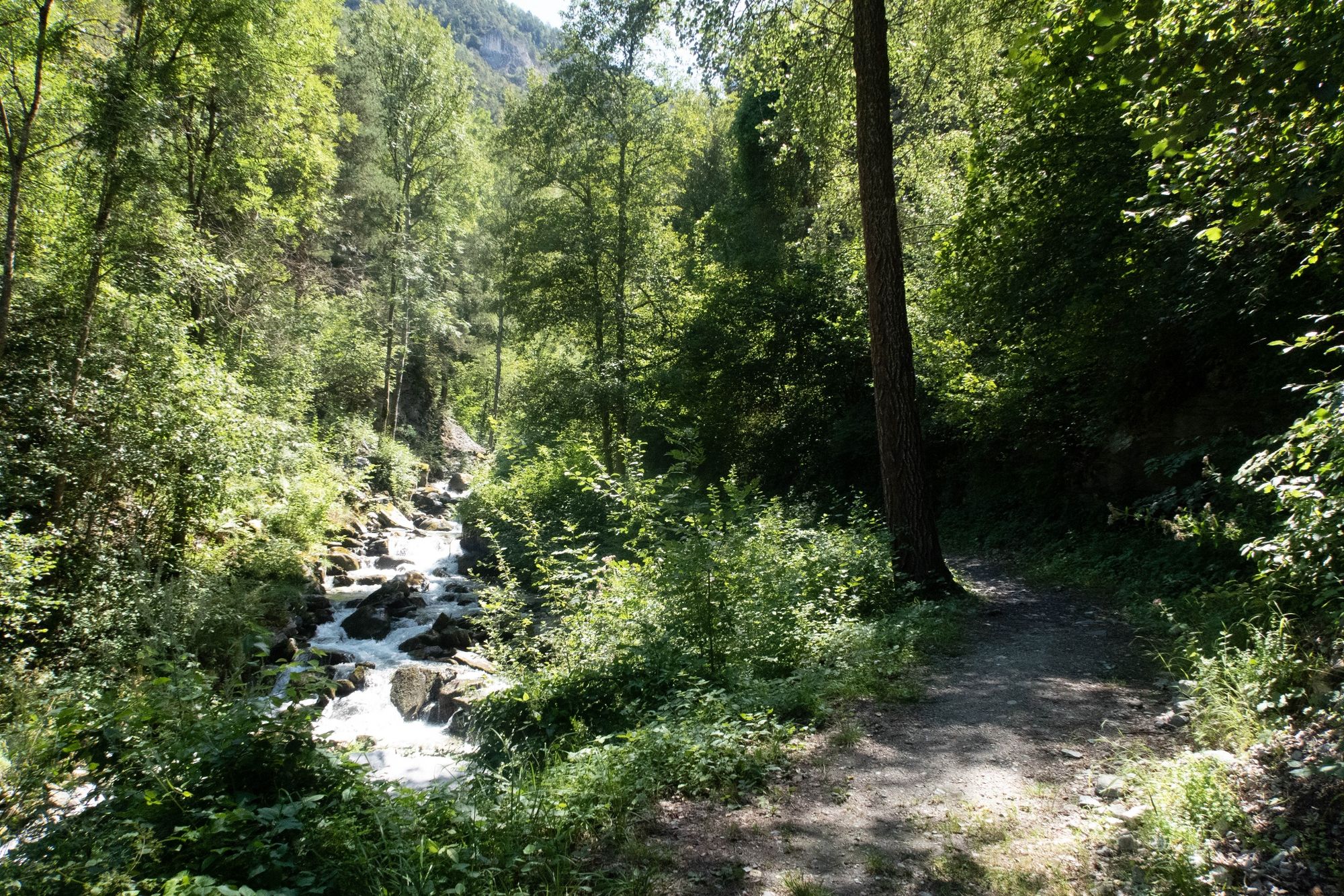
To begin with, you'll set off from the heart of the village of Réchy along a road that runs alongside the right bank of the Rèche. You will then quickly cross the river to climb up the left bank to the picnic area, before turning right. From then on, you'll be strolling along the banks of the Rèche, accompanied by its furious roar.
- Directions
-
From above the village of Chalais, take the path towards Réchy. Once you reach Réchy, head for the heights to reach the old coal mines.
- Highest point
- 615 m
- Endpoint
-
Former coal mines
- Height profile
-
 © outdooractive.com
 - Equipment
-
We recommend:
Good footwear Clothing suited to the weather: always have a waterproof jacket Hat or cap Sun cream Bottled water Walking sticks (optional) Not accessible by pushchair - Safety instructions
-
Leave nature behind as it was before your visit.
Respect the tranquillity of wild animals.
Never set off alone on a difficult hike.
In the mountains, the climate is harsher and the weather changes quickly, so equip yourself accordingly! - Tips
-
Continue along the noisy river before reaching the old coal mines.
- Additional information
-
Time calculated without reading the signs
-

-
AuthorThe tour De Chalais aux chalets ... en passant par RECHY is used by outdooractive.com provided.


General info
-
Thyon les Collons
1433
-
Crans - Montana
984
-
Chalais
327