- Brief description
-
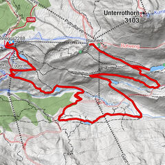
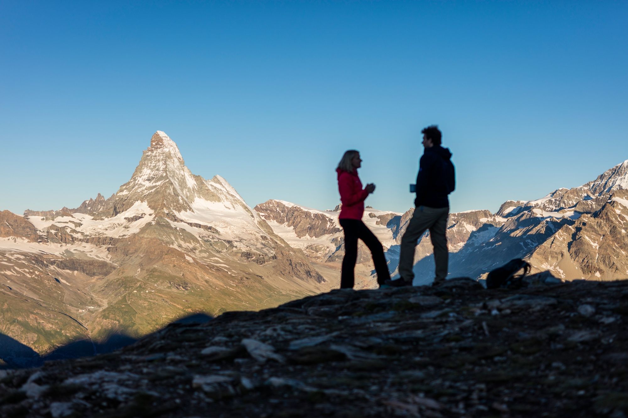
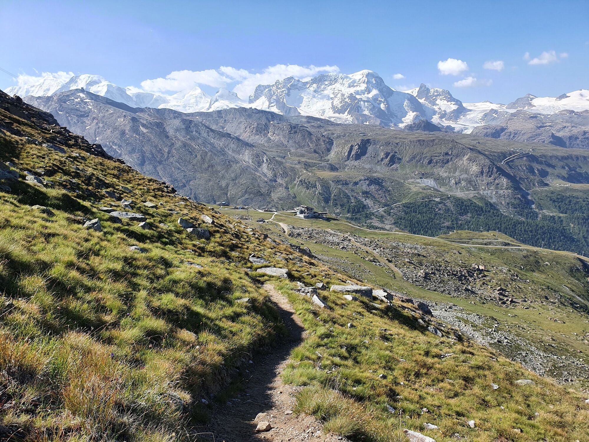
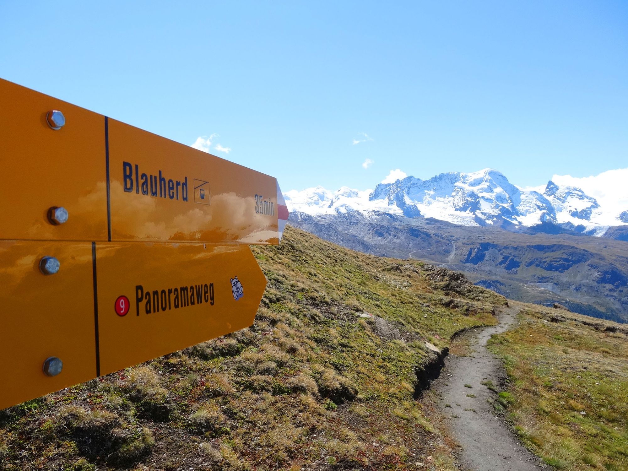
The views between the Ritzengrat ridge and Blauherd are magnificent, making this a true panoramic trail. Crowning the scene is the Matterhorn, revealing its north and east flanks and the Hörnligrat ridge.
- Difficulty
-
medium
- Rating
-
- Starting point
-
Blauherd (2,571 m)
- Route
-
Blauherd0.0 kmBlue Lounge0.0 km
- Best season
-
JanFebMarAprMayJunJulAugSepOctNovDec
- Description
-
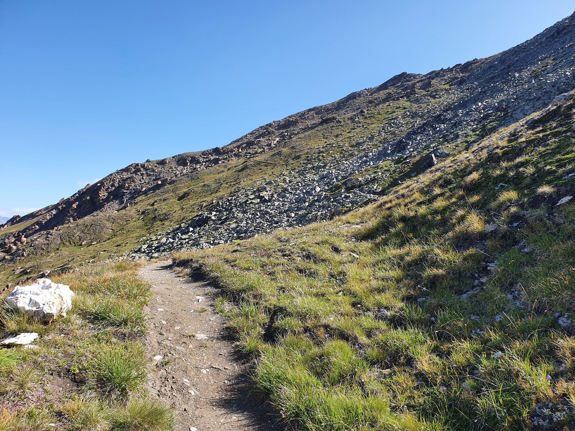
Hikers following the trail from north to south – in other words, from the Ritzengrat ridge down to Blauherd – have the Matterhorn in view throughout. The path leads through the Meisterswang area on the northern part of the Unterrothorn (known as the Rothorn). For hikers, the whole slope has the feeling of a mountain balcony thanks to the glorious views.
Information panels in German, English, French, Japanese
The star of this trail is without doubt the Matterhorn. Information panels reveal fascinating facts about this world-famous mountain. Why do people say the Matterhorn is African? How was it formed? What role did the long-vanished Tethys sea play? Anyone curious about geological processes and the formation of the Matterhorn should explore this trail at least once. - Directions
-
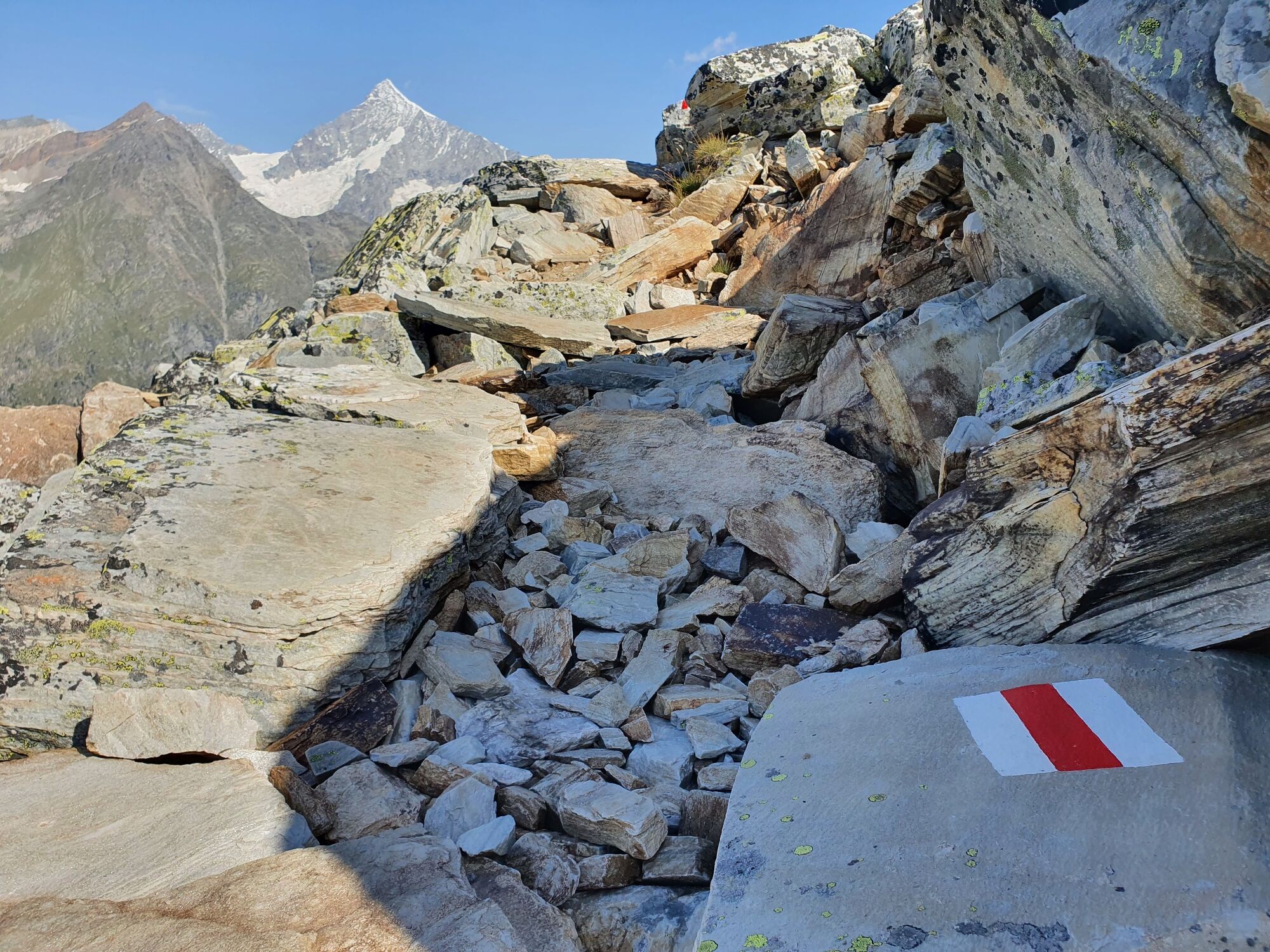
Blauherd - Ritzengrat (extension possible via the Abenteuerweg trail)
(Hiking time for the walk back: approx. 30 min)
This hike is marked on the signposts as “Panoramaweg Zermatt”.
- Highest point
- 2,812 m
- Endpoint
-
Ritzengrat (2,580 m)
- Height profile
-
 © outdooractive.com
 - Equipment
-
We recommend:
Good footwear Hiking poles (optional) Clothing suitable for the weather (always carry a waterproof) - Safety instructions
-
Plan every mountain tour carefully and adapt to participants’ fitness level as well as the weather and season.
Weather conditions can change quickly in the mountains. Appropriate clothing is therefore essential, along with adequate supplies of food and water. In uncertain weather, turn back in good time.
Inform others of planned route, and whenever possible avoid going alone.
Do not leave the marked routes; do not venture onto glaciers without a mountain guide.
Please be considerate to other walkers and to plants and animals.
Take note of the warning signs drawing attention to the constant danger in river beds and along watercourses below dams and reservoirs. - Tips
-
Extending your hike with the Adventure Trail (no. 1) is possible.
- Directions
-
Zermatt is car-free. Private vehicles are permitted only as far as Täsch (5 km before Zermatt). The Täsch–Zermatt road is closed to the public.
Onward travel to Zermatt is either by private taxi or shuttle train. Trains depart every 20 minutes; the journey takes about 12 minutes, and ends at the Bahnhofplatz in Zermatt. - Public transportation
-
By train to the Matterhorn village: 3½ hours from Zürich airport or 4 hours from Geneva airport. Change at Visp onto the Matterhorn Gotthard Bahn (Matterhorn Gotthard Railway). From Visp, the railway leads through the Mattertal valley past idyllic small villages to Zermatt.
Zermatt is also the start and finish point for the world-famous Glacier Express panoramic train journey (Zermatt to St. Moritz or Davos). - Parking
-
Täsch has car parks with both covered and open-air parking – e.g. at the Matterhorn Terminal or privately operated facilities.
Onward travel: see “Getting there”.

- Author
-
The tour Zermatt Panorama Trail (Nr. 9) is used by outdooractive.com provided.


General info
-
Oberwallis
1872
-
Mattertal
555
-
Zermatt
154