- Brief description
-
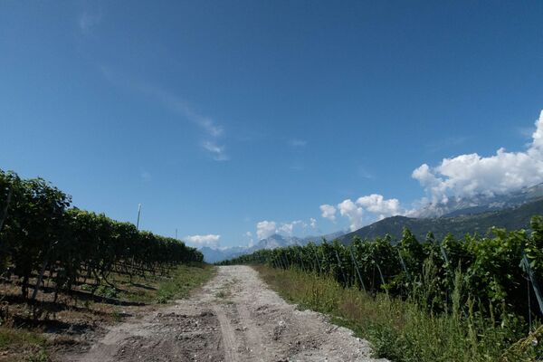
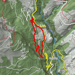
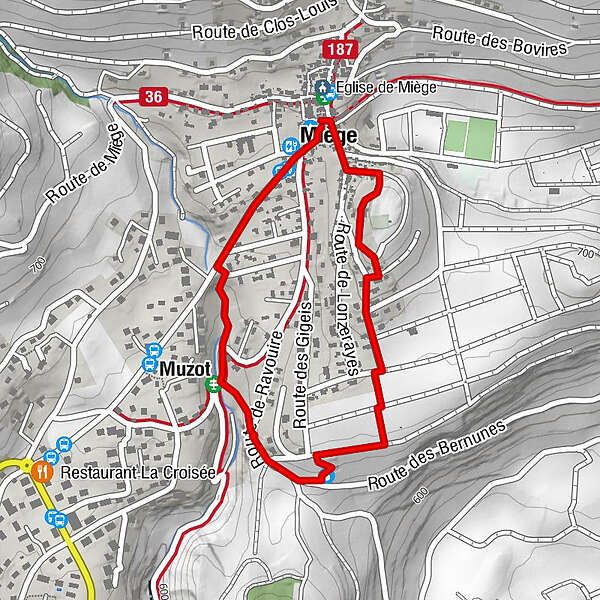
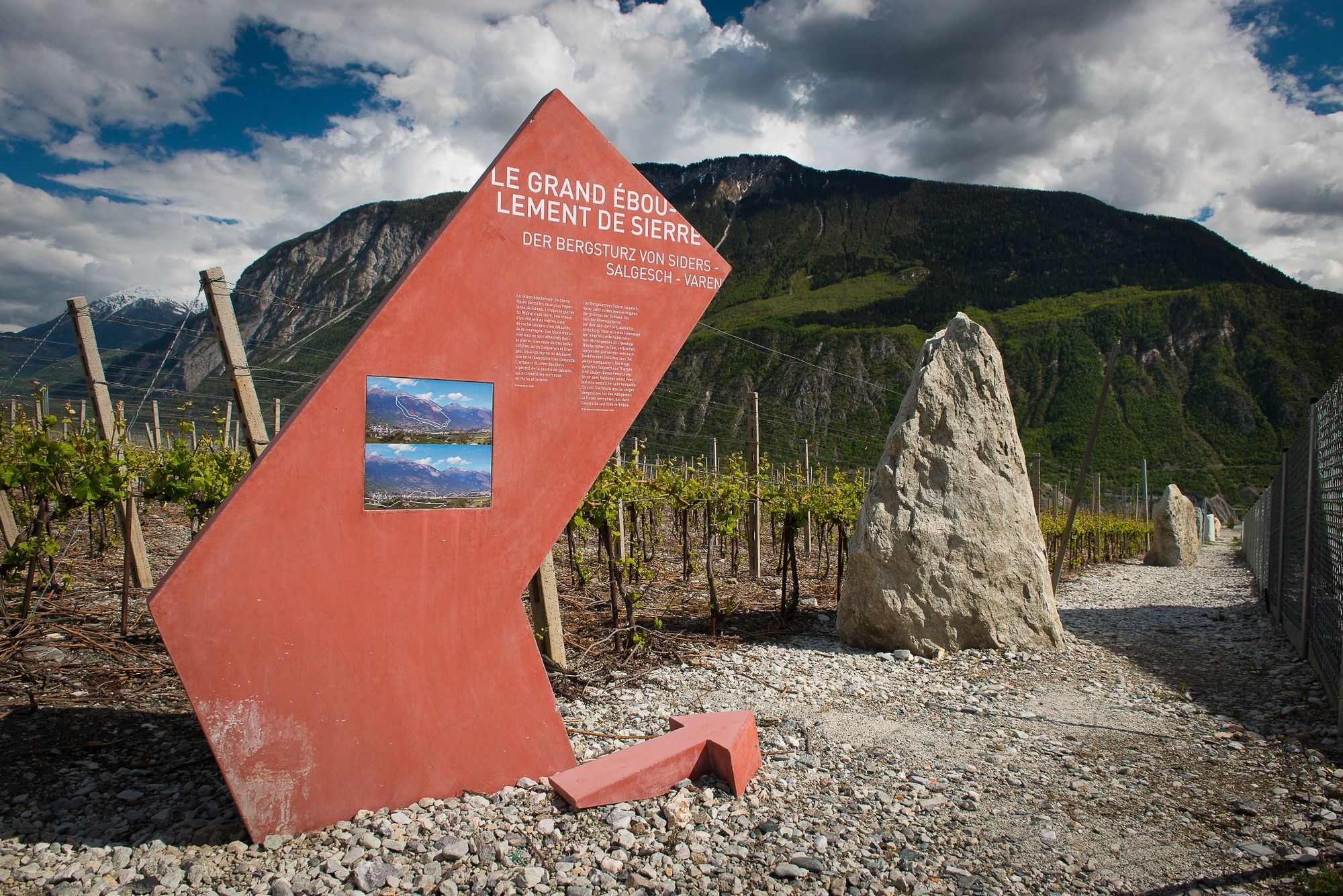
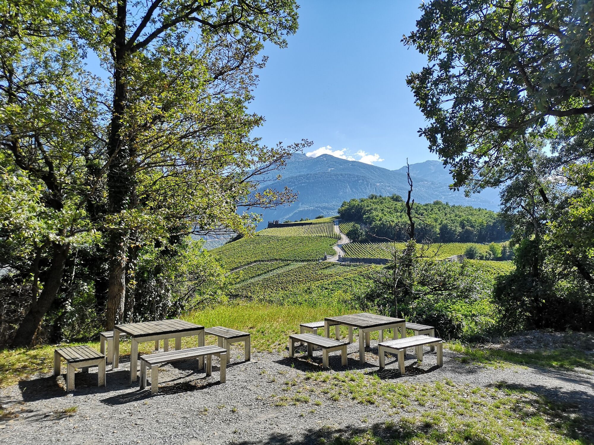
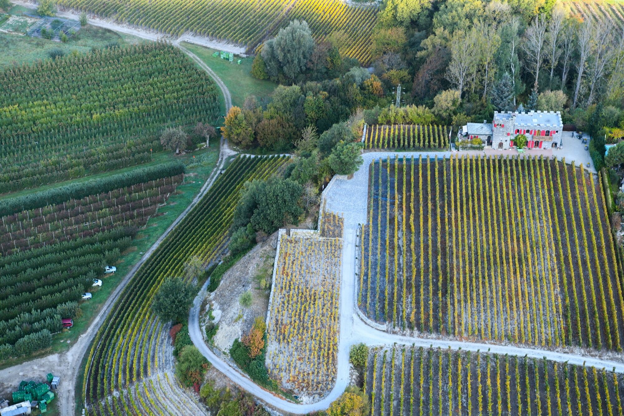
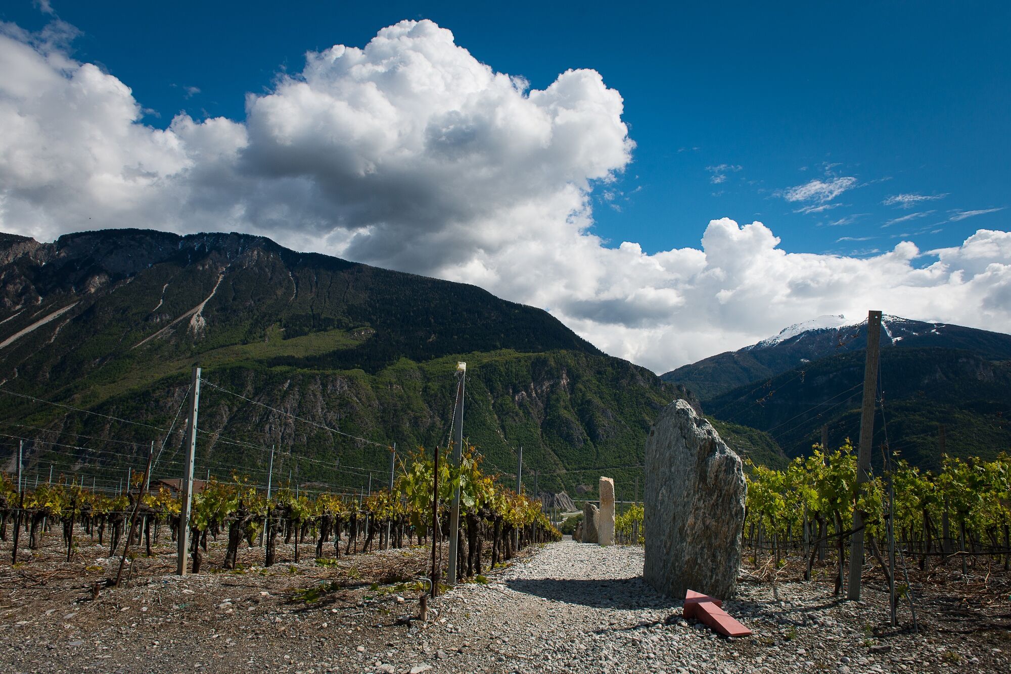
Partez à la découverte d'un village, un vignoble avec une signalétique originale, une exposition de roches et une exposition des terroirs viticoles.
- Difficulty
-
easy
- Rating
-
- Route
-
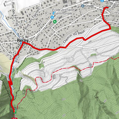
Le Relais Miègois0.0 kmMiesen (702 m)0.1 kmSiders (533 m)1.3 kmMuzot1.5 km
- Best season
-
JanFebMarAprMayJunJulAugSepOctNovDec
- Highest point
- 713 m
- Endpoint
-
Miège, Espace Terroirs
- Height profile
-
 © outdooractive.com
-

-
AuthorThe tour Sentier des Terroirs is used by outdooractive.com provided.
GPS Downloads


General info
Refreshment stop
Cultural/Historical
Other tours in the regions
-
Oberwallis
1872
-
Crans - Montana
986
-
Noble-Contrée
308