- Brief description
-
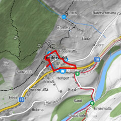
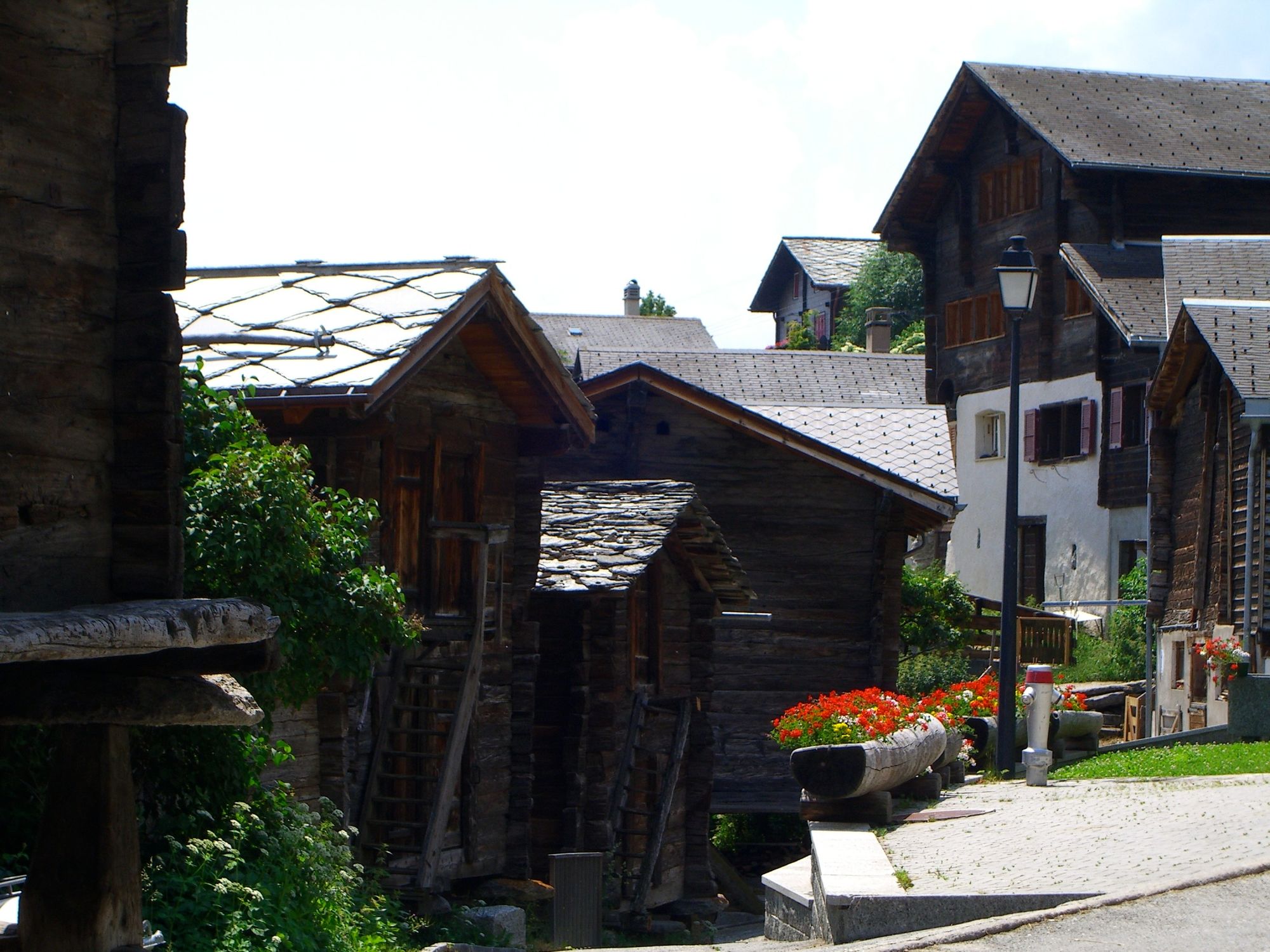
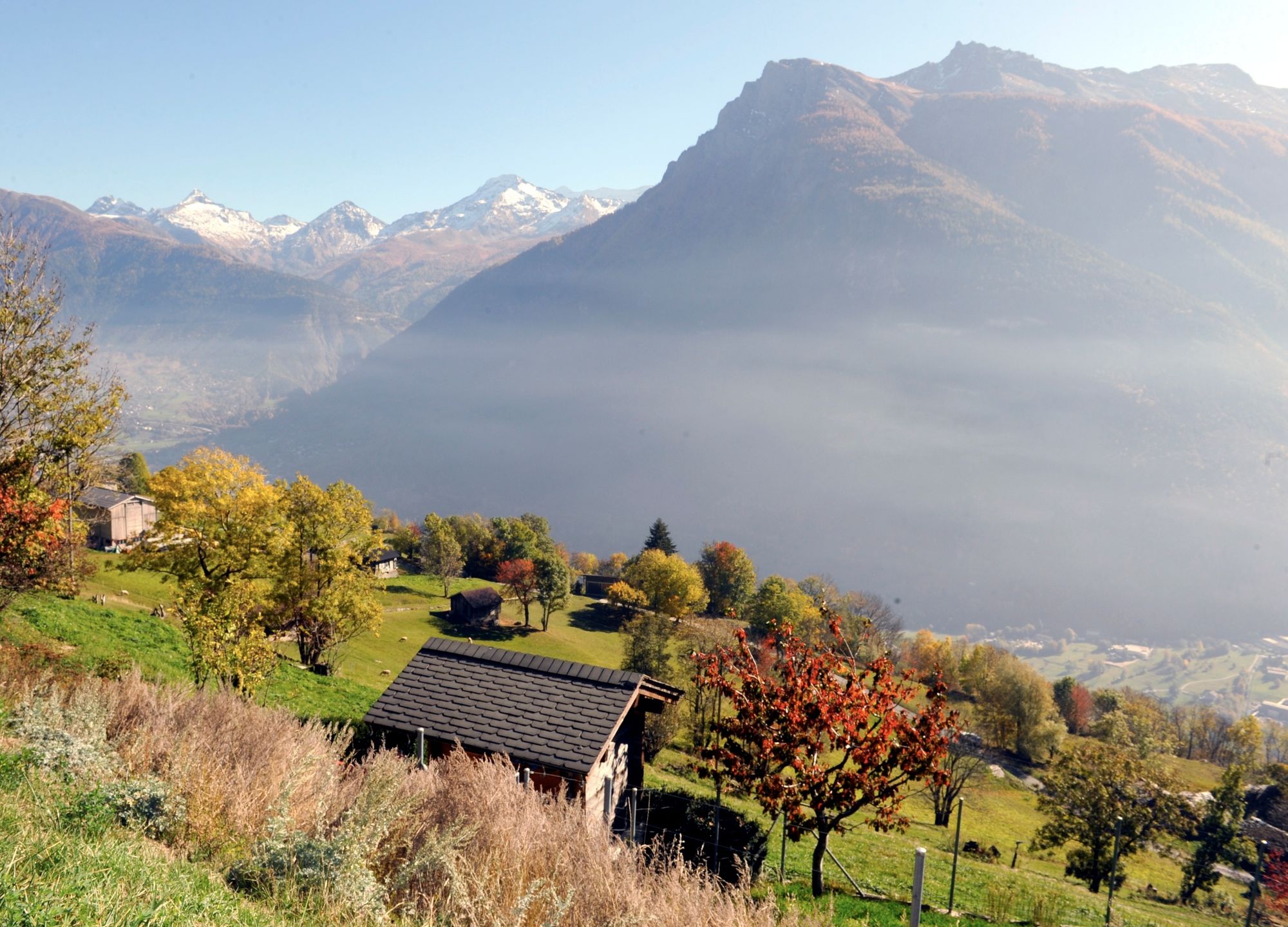
The starting point of the saffron nature trail is in the village centre. From there, you can follow a tranquil circular path that leads through saffron fields and meadows with a view of the Rhone Valley.
- Difficulty
-
easy
- Rating
-
- Starting point
-
Mund (1223 m)
- Route
-
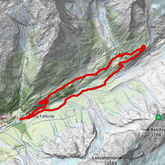
Mund (1,188 m)2.6 km
- Best season
-
JanFebMarAprMayJunJulAugSepOctNovDec
- Description
-
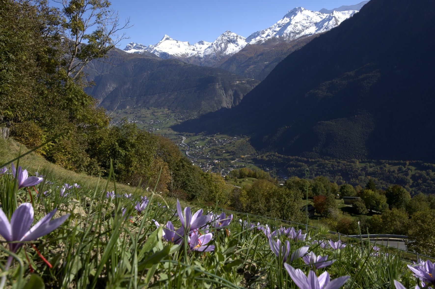
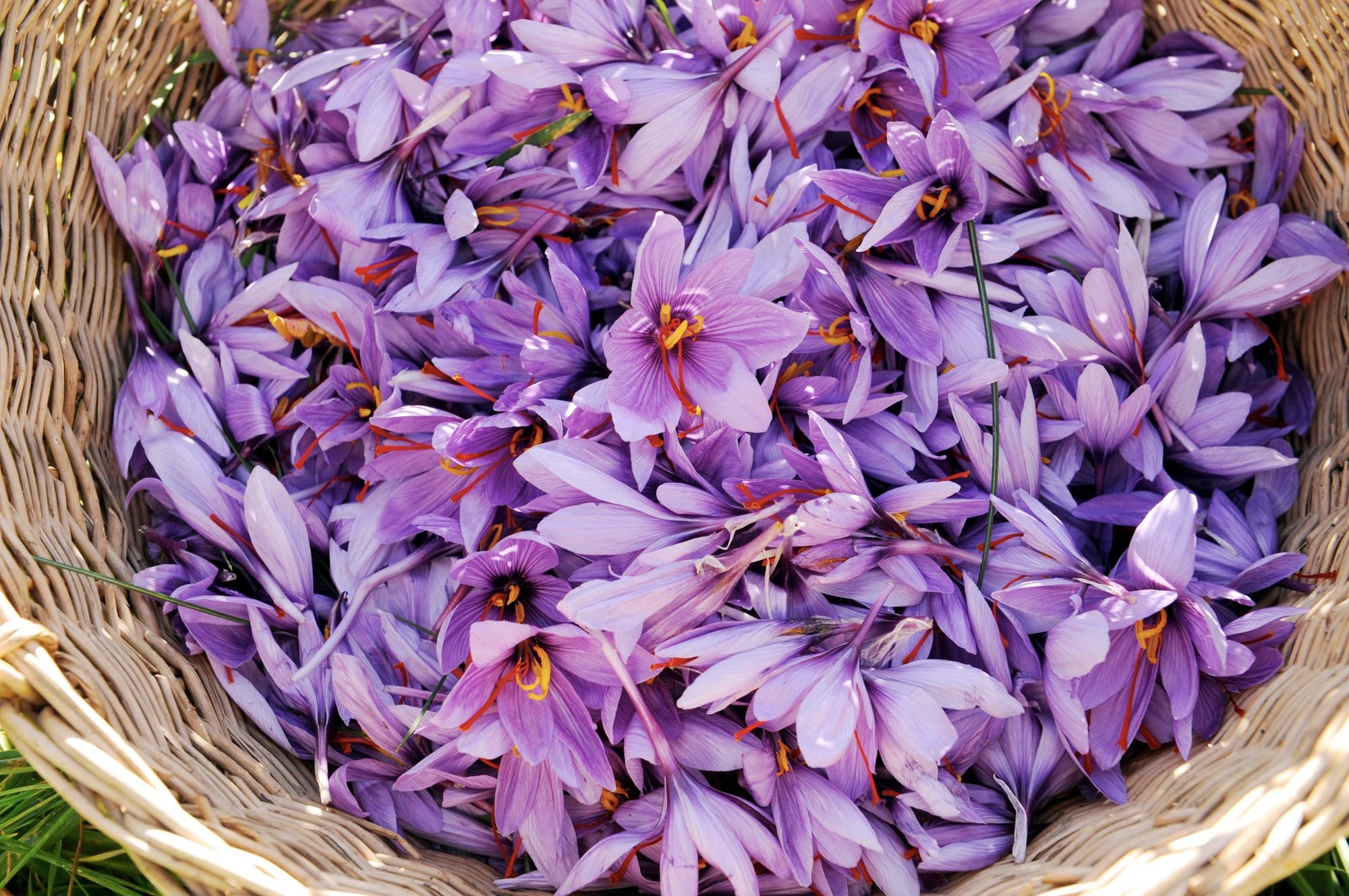
Did you know why Munder saffron is more valuable than gold? And how, according to legend, it was curiously smuggled into Mund? You can find out the answer to these and many other exciting questions on the saffron nature trail in Mund.
The starting point of the saffron nature trail is the village centre. From there, you can take a tranquil circular path that leads through saffron fields and meadows with an impressive view of the Rhone Valley. During the hike, there are currently six stations with information boards that provide information about the Munder saffron culture in German and French. Visitors learn, for example, why the culinary prodigy saffron may only be picked and processed by hand, or who its worst enemies are. Information about history, origin, culinary, cultivation, processing, botany and Munder tradition is conveyed. The saffron nature trail is a fun way to hike in nature. A section of the trail is wheelchair accessible!
- Directions
-
Mund, bus stop - Saffron nature trail - Mund, bus stop
- Highest point
- 1,182 m
- Endpoint
-
Mund
- Height profile
-
 © outdooractive.com
 - Equipment
-
Sturdy shoes, clothing suitable for the weather, sun and rain protection, as well as sufficient supplies of food and drinks, should there be no refreshment stops or shopping facilities available or open. Although the trail is very well marked throughout, you should always have a suitable hiking map with you for safety reasons. Take sticks or other aids with you.
- Safety instructions
-
Despite the "impossible to miss" marking of the hiking trails, we recommend for safety reasons to always have an appropriate hiking map with you so that you can quickly find your way to a safe area in case of a thunderstorm or emergency, for example.
Especially in autumn, you should also be aware that leaves lying on the ground can hide bumps, roots, stones or holes in the path. After storms, trees can still fall over or branches can fall down. Especially in adverse weather conditions, muddy and slippery passages can occur on natural paths. You have to expect this kind of damage to paths when you go on a hike.
Not all rocks or precipices are secured with ropes or railings. In some cases surefootedness is required. If you are of the opinion that certain sections of the trail are not passable for you, you should avoid them.
- Tips
-
If you would like to find out even more about saffron, then contact Blatten-Belalp Tourism for an accompanied tour.
- Additional information
- Directions
-
Arrival by car
From western Switzerland: A9 Lausanne - Vevey, or north-western Switzerland: A12 Bern - Vevey: A9 - Sierre: main road Sierre - Brig
From north-western Switzerland: A6 Berne - Thun - Spiez: main road Spiez - Kandersteg (Lötschberg tunnel car transport) - Goppenstein - Gampel - Brig
From eastern and central Switzerland: Andermatt - Realp (year-round Furka car transport; in summer via Furka Pass) - Oberwald - Brig
From Ticino (in summer): Airolo - Nufenenpass - Ulrichen - Brig
Or via Centovalli - Domodossola - Simplonpass - Brig
From Italy (Aosta, Mt. Blanc Tunnel): Aosta - Grand Saint Bernard tunnel (over the pass in summer) - Martigny: A9 motorway - Sierre: Sierre - Brig main road.
Or via Domodossola - Simplon Pass - Brig
Birgisch / Mund
From Brig you can reach Birgisch and Mund via Naters, then take the cable car to the car-free Belalp.
- Public transportation
- Parking
-
Parking is available next to the church and the bus stop in Mund.


-

-
AuthorThe tour Saffron trail Mund is used by outdooractive.com provided.


General info
-
Aletsch Arena
1471
-
Brig Simplon
481
-
Brig-Glis
192