
- Brief description
-
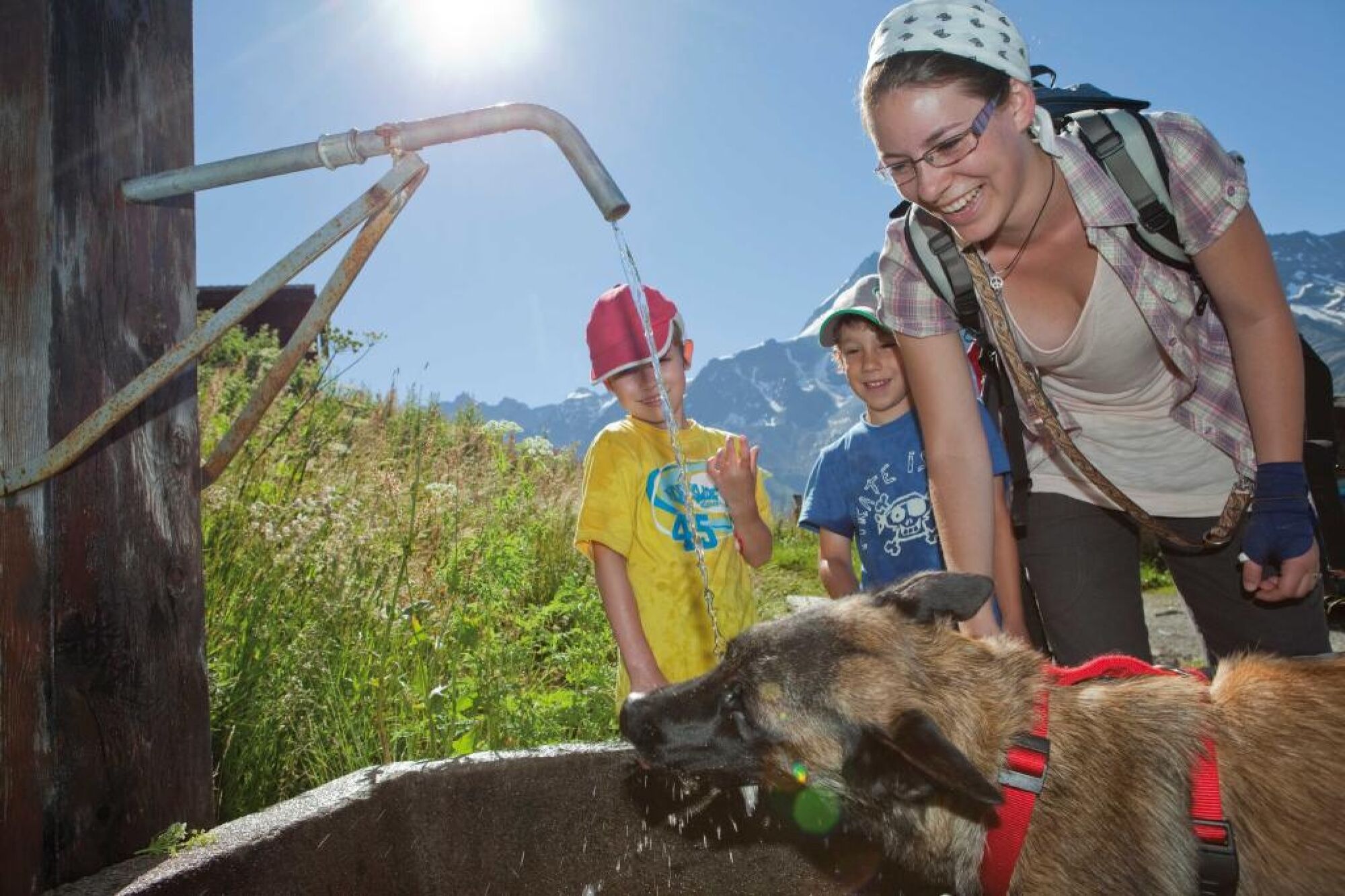
The Lötschental Legend Trail with its accompanying Legend Quiz is ideal for families.
- Difficulty
-
easy
- Rating
-
- Starting point
-
Mountain station "Lauchernalp, Holz"
- Route
-
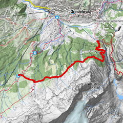
Zudili0.0 kmSteinegga0.9 kmTellialp5.0 kmRestaurant Tellialp5.0 kmGletscherstafel9.2 km
- Best season
-
JanFebMarAprMayJunJulAugSepOctNovDec
- Description
-
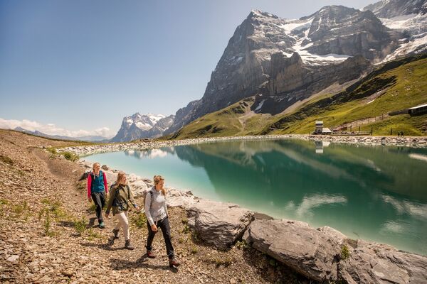
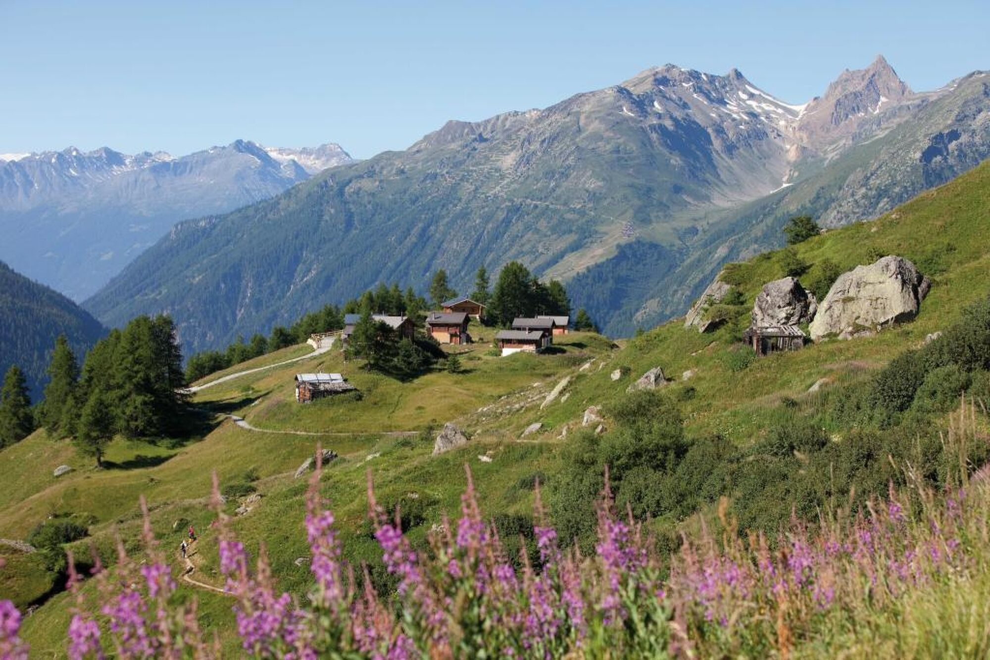
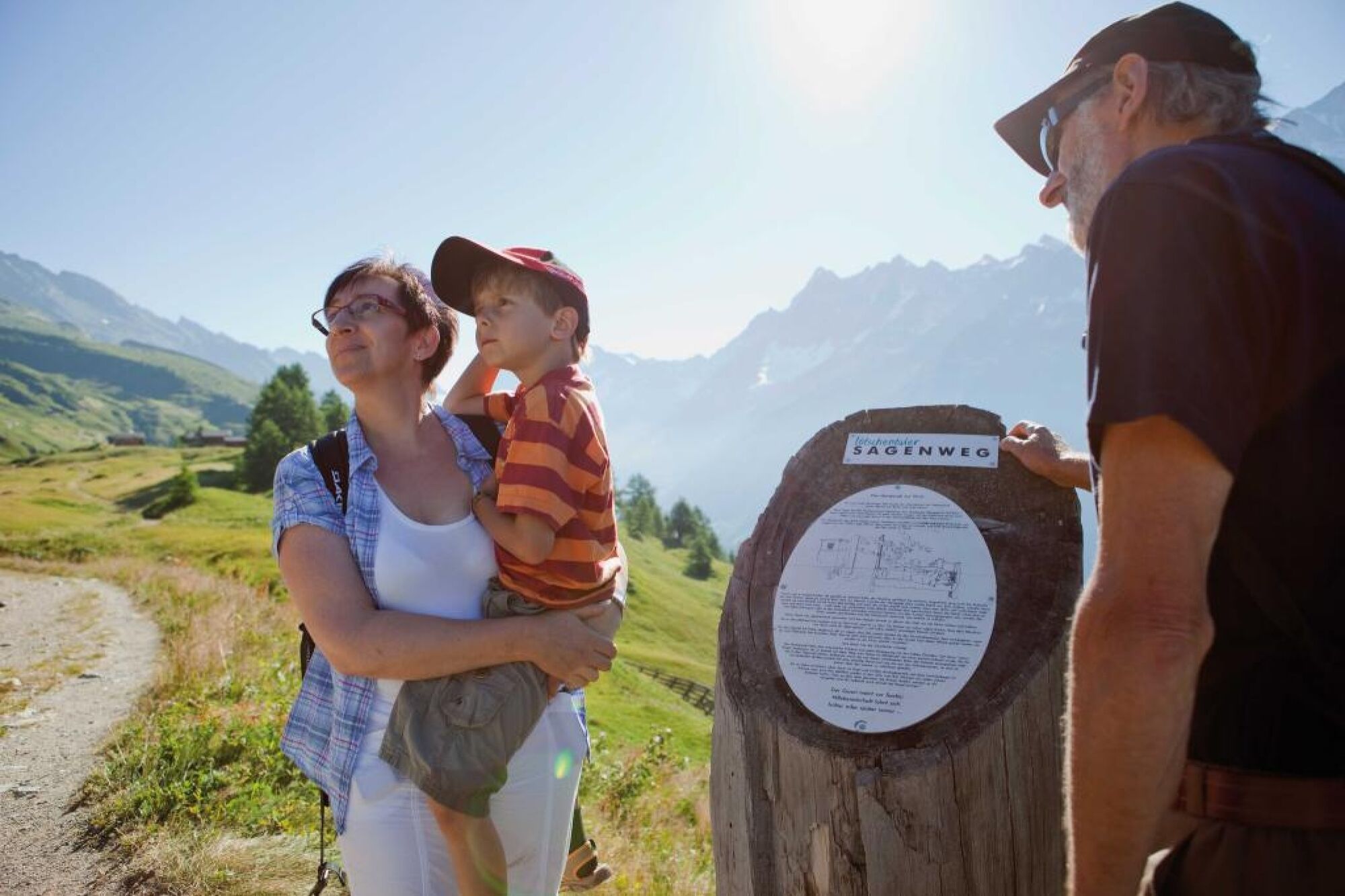
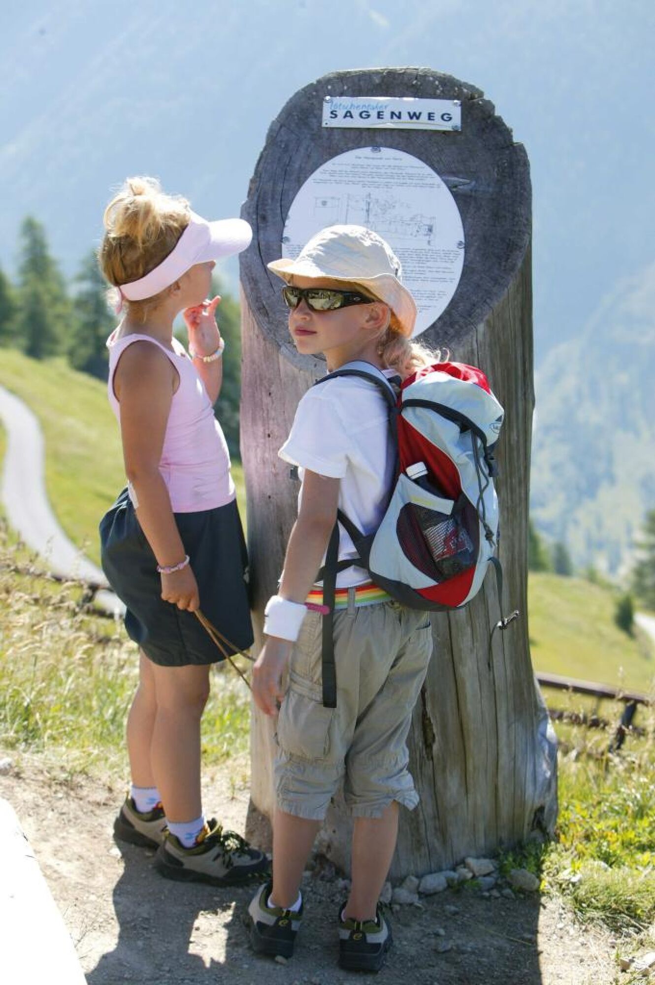
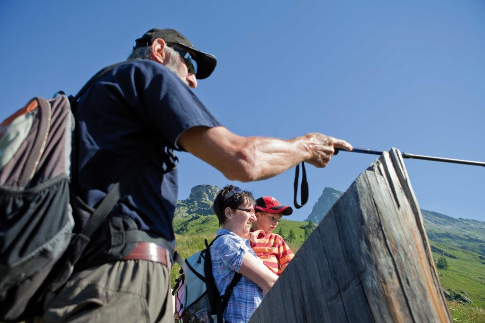
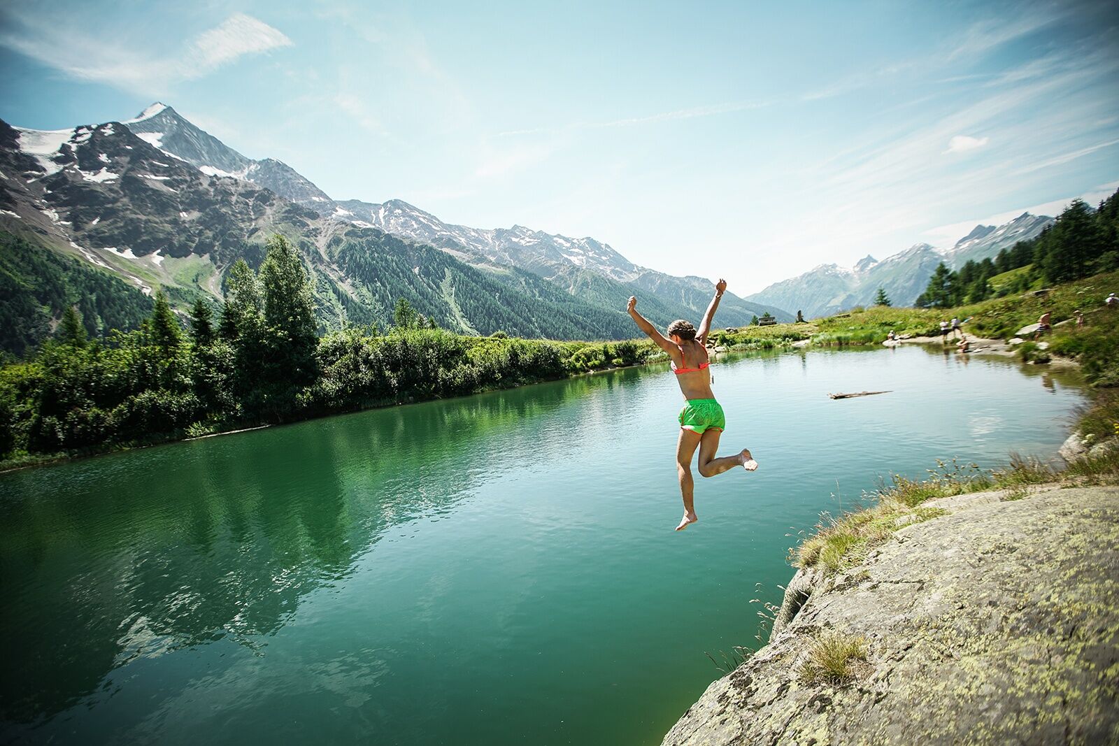
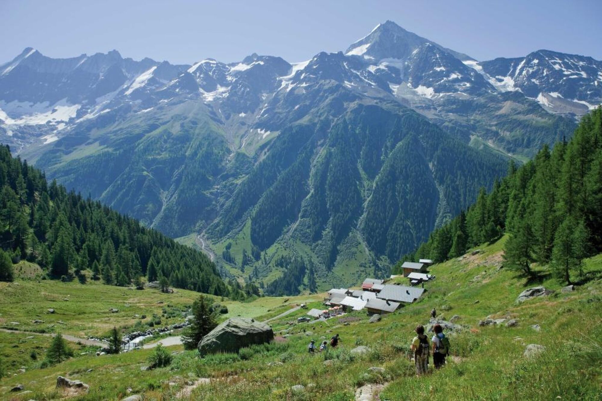
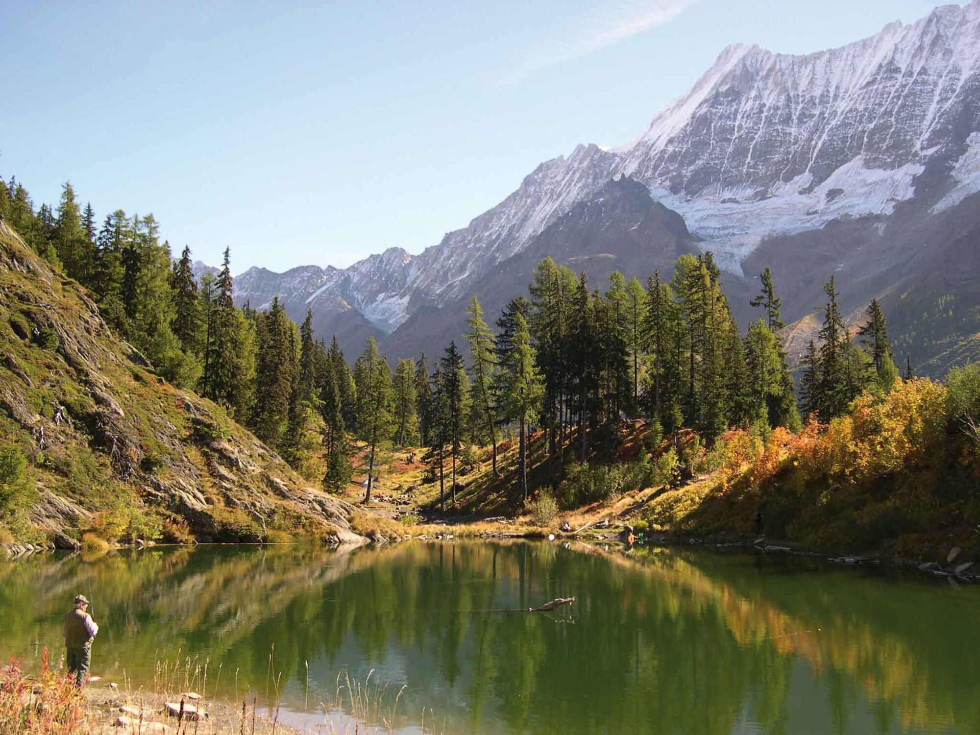
The Lötschental Legend Trail is ideal for families and takes hikers and walkers from the Lauchernalp mountain station up to the Fafleralp. Ten different legends on tree trunks take hikers into a mysterious world of myths and fairytales. Each distinctive stone, idyllic lake or mountain hut has its own legend and, against this impressive backdrop, hikers can learn about these legends. So-called QR codes can now be found on the tree trunks. If you scan these codes with your Smartphone (QR scanner apps can be downloaded free of charge in the App Store or Google Play Store), you can also read the legends in English, French and German conveniently on your own mobile phone.
Become the King or Queen of the Legends!
Do you want to hike, have fun and learn something new? Walk along the Legend Trail and answer the tricky questions in the Legend Quiz. You will be rewarded with a small gift if you manage to answer all of the questions correctly! Visit the Lötschental Tourist Information Office, the Lauchernalp cable car or the Fafleralp Snack Bar to obtain a copy of the quiz and receive your gift. Order a free copy of the "Legend Quiz" flyer from the Lötschental Tourist Information Office or online at www.loetschental.ch/prospekte - Directions
-
Lauchernalp - Weritzalp - Tellialp - Fafleralp (this trail can also be walked in the opposite direction)
- Highest point
- 2,087 m
- Endpoint
-
Fafleralp, car park
- Height profile
-
 © outdooractive.com
 - Equipment
-
Sturdy shoes, clothing suitable for the weather, walking sticks if necessary, sufficient water.
- Safety instructions
-
Plan your tour carefully
Ensure that you have a full set of appropriate equipment
Never embark on a tour alone
Inform friends, relatives, the mountain hut supervisor or the hotel porter of your proposed tour. Report back when you arrive at your destination.
Keep a constant eye on weather developments
Adhere to the principle: if in doubt, turn back! - Tips
-
The 1:25,000 scale hiking map is your perfect companion for an unforgettable day's hiking in the Lötschental. Available from the Lötschental Tourist Information Office in Wiler or online at www.loetschental.ch/webshop
- Directions
-
Drive into the Lötschental from Goppenstein, past the villages of Ferden and Kippel as far as Wiler to the valley cable car station. Take the cable car up to the Lauchernalp.
- Public transportation
-
The postbus runs every hour from Gampel/Steg or Goppenstein to Wiler ("Wiler, Seilbahn" postbus stop). Take the cable car up to the Lauchernalp.
- Parking
-
You can park your car in the outdoor car park or in the indoor car park beside the cable car valley station (not free).
- Author
-
The tour Lötschental Legend Trail is used by outdooractive.com provided.


General info
-
Oberwallis
1873
-
Lötschental
1066
-
Blatten
132