Themed trail: Salzgäb sweet chestnut grove in Mörel-Filet


- Brief description
-
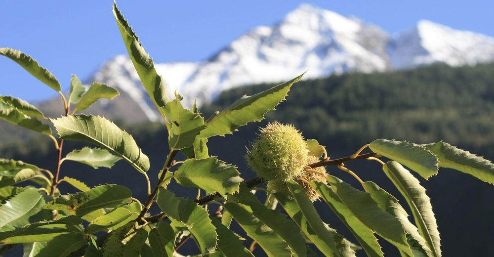
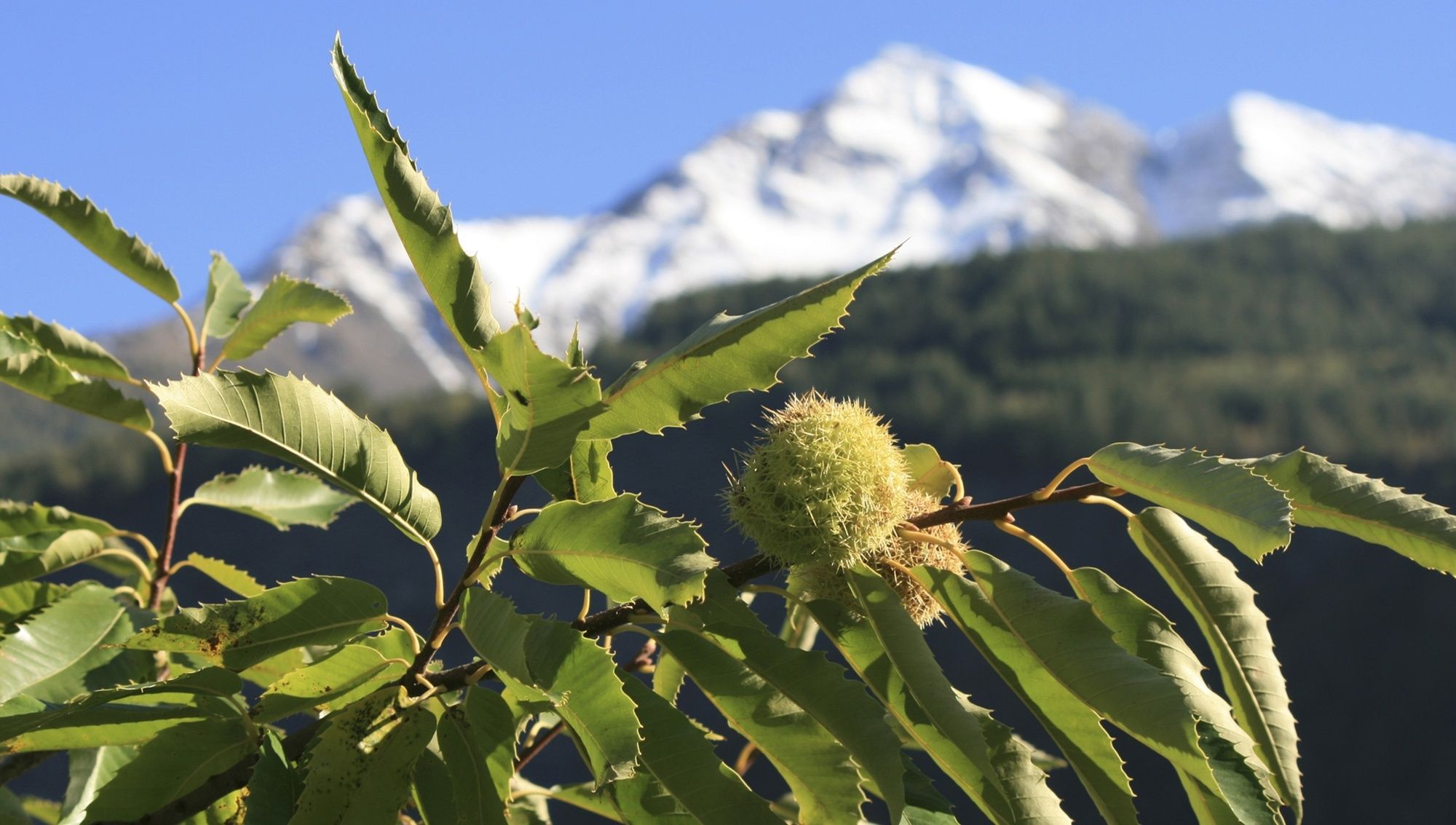
The short themed trail presents interesting facts on the importance of sweet chestnuts for the region. Admire the mature trees and the recultivated Salzgäb sweet chestnut grove.
- Difficulty
-
easy
- Rating
-
- Starting point
-
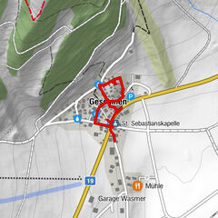
Mörel-Filet
- Route
-
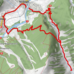
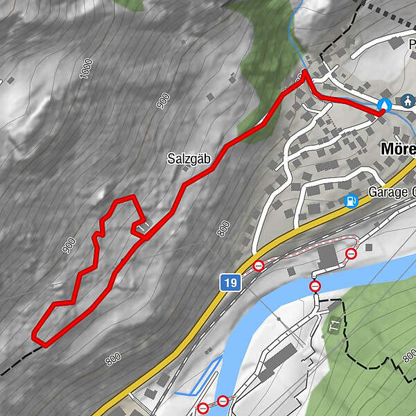
Mörel (746 m)0.0 kmSalzgäb0.3 kmKirche St. Hilarius mit Beinhauskapelle Hl. Josef1.8 km
- Best season
-
JanFebMarAprMayJunJulAugSepOctNovDec
- Description
-
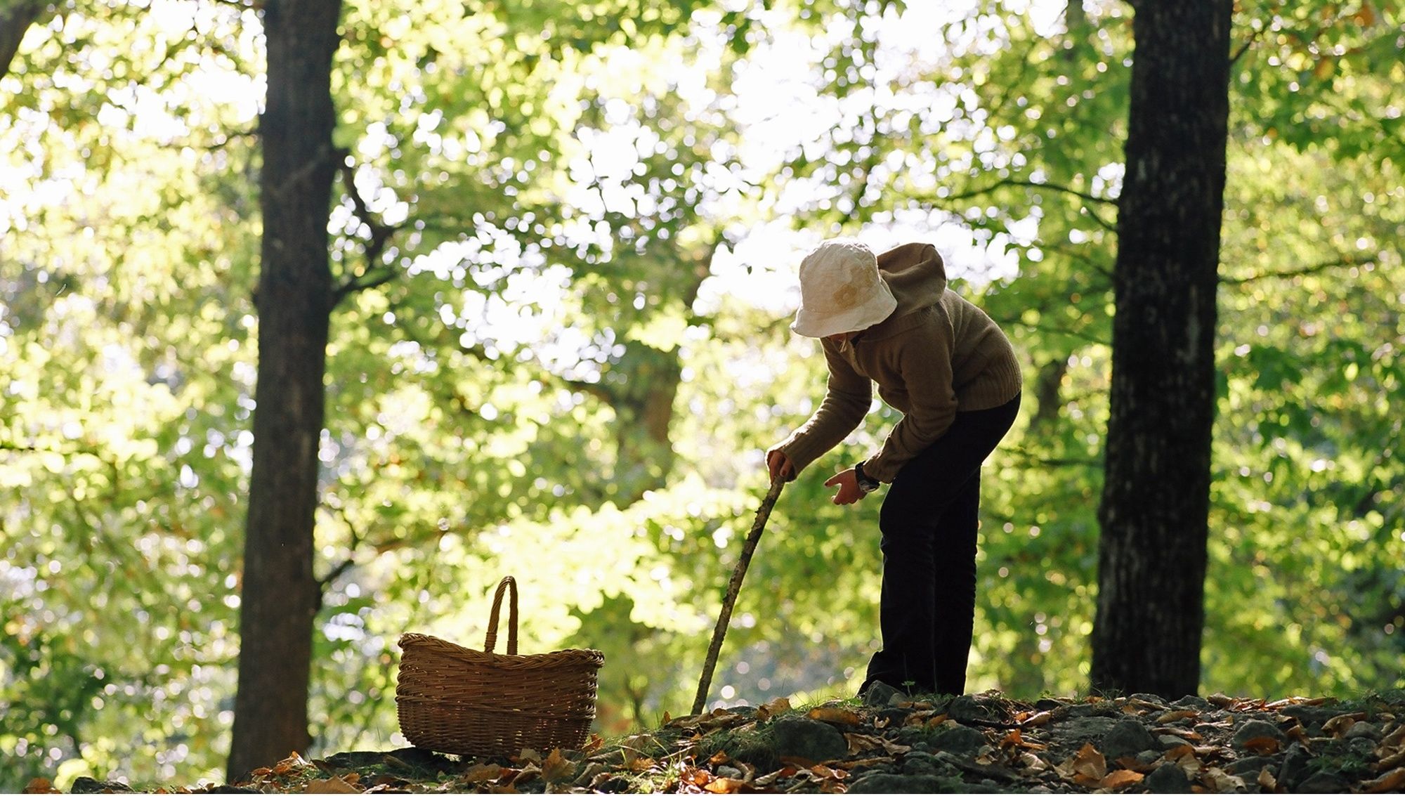
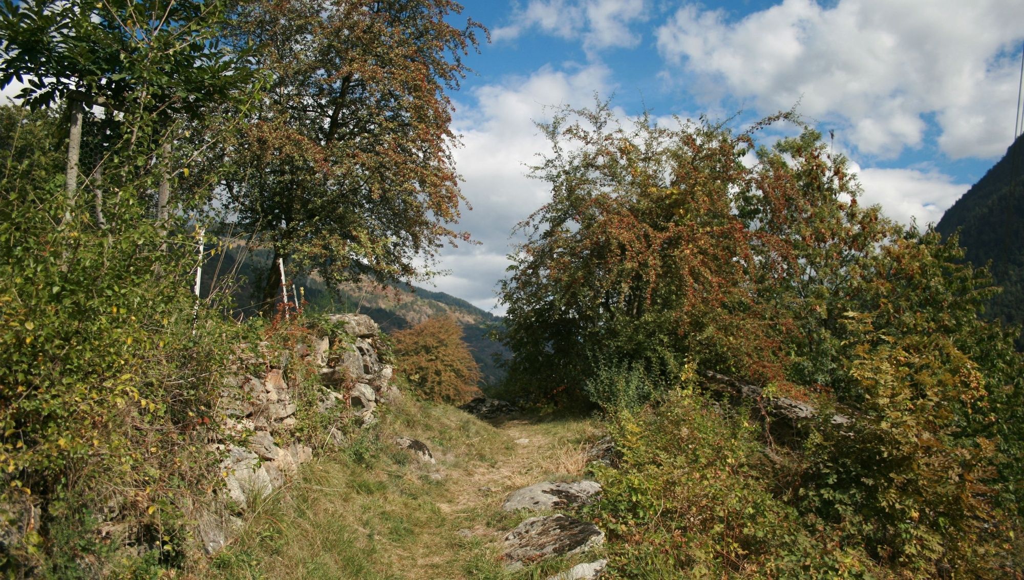
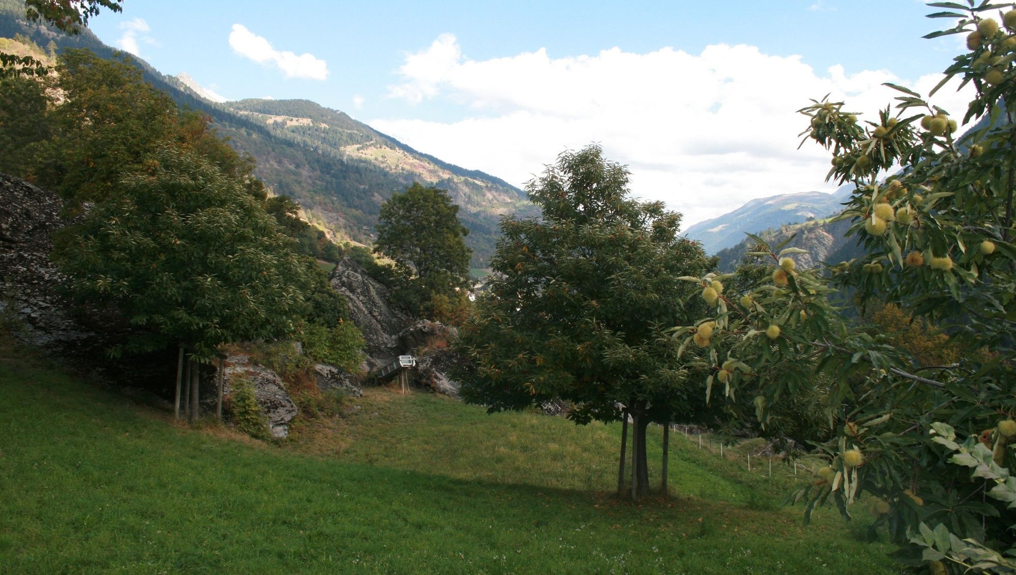
The themed trail begins at the Church of St. Hilarius in Mörel-Filet. Set off along Dorfstrasse, beside the village stream, until you reach the upper end of the village, and take the path that branches off left. The themed trail leads past walls of terraced fields to an impressive old chestnut grove. There is a long tradition of chestnut culture in the area, the earliest mentions of “Chesteholz” dating back to 1279. At that time, sweet chestnuts were planted to ensure a constant supply of food for the poor. In 2003, the citizens of Mörel-Filet decided to recultivate the old Salzgäb chestnut grove, replant it and turn it into a forest reserve. Information panels along the trail shed light on the importance of the chestnut groves from an agricultural and ecological point of view and explain the recultivation project. Return to the village centre by the same route or take the broad hiking path.
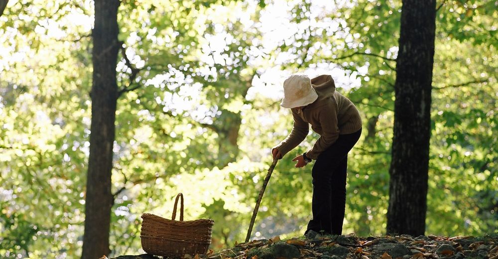
Please note that the chestnut trees in the Kastanienselva are privately owned. Therefore, it is not allowed to collect chestnuts.
- Directions
-
Mörel-Filet – Themenweg Kastanienselve Salzgäb – Mörel-Filet
- Highest point
- 874 m
- Endpoint
-
Mörel-Filet
- Height profile
-
 © outdooractive.com
 - Equipment
-
We recommend:
good footwear clothing suitable for the weather: always carry a waterproof jacket hat or cap sunscreen bottle for water picnic camera binoculars (optional) hiking poles (optional) printout of this hike (click «Print» icon, to download) - Safety instructions
-
Use of the trails and the information on this website is at hikers’ own risk. Local conditions may entail changes to routes. Aletsch Arena AG accepts no liability for the accuracy and completeness of information on this website.
Bring a map. Download full description of this route including large-scale map by clicking on «Print» icon, top right of this page. Use marked trails only, and observe all signposting – for your own safety, to safeguard grazing animals and to avoid disturbing wildlife. Close gates after passing through. Please be considerate to other trail users, and to the plants and animals. Do not leave any waste in nature. - Tips
-
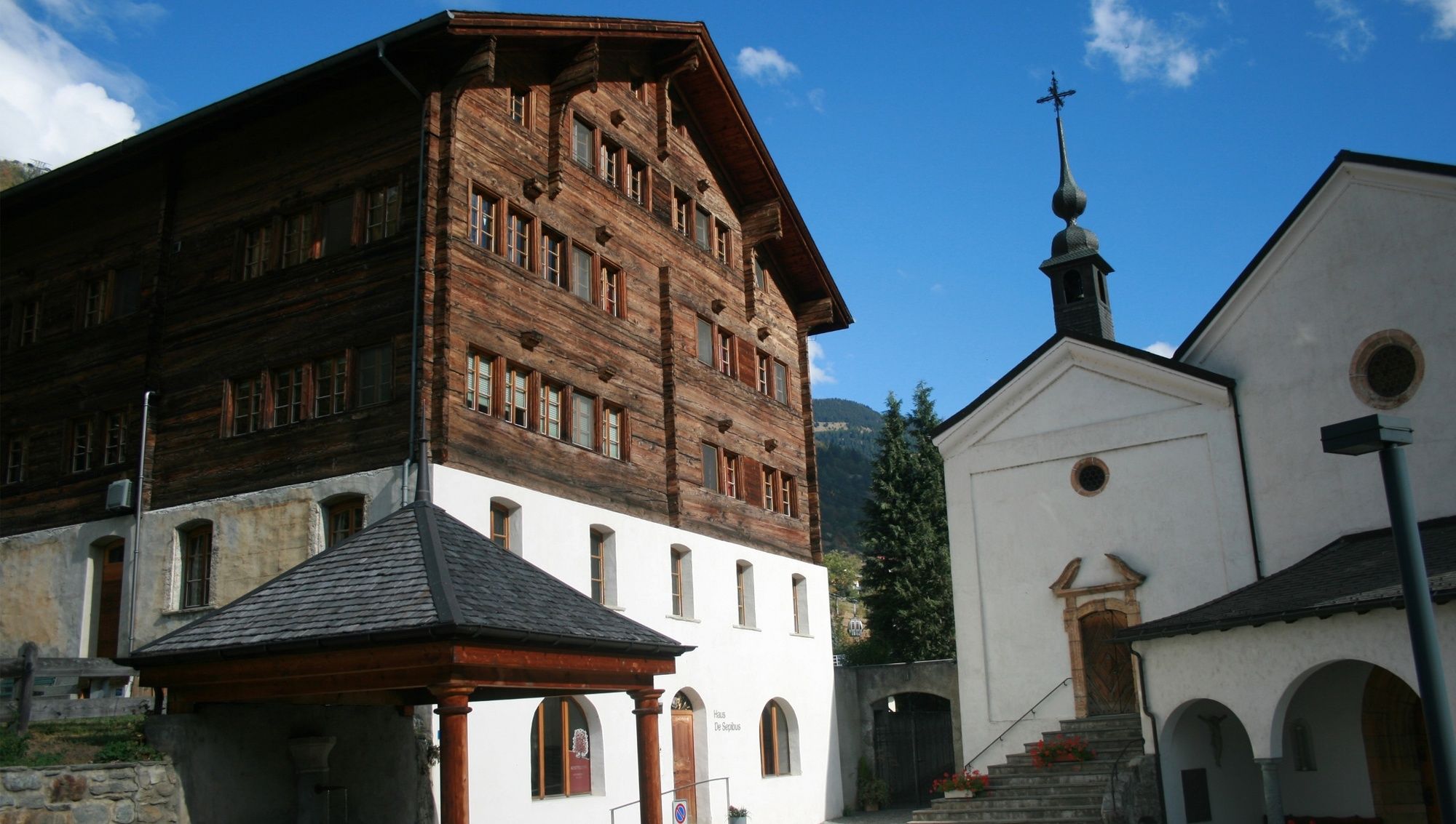
Learn more about the history of chestnut culture in Mörel-Filet! Pay a visit to the informative exhibition at De-Sepibus-Haus!
- Additional information
- Directions
-
Take Kantonsstrasse 19 to the Mörel-Filet exit, then follow signs for the parking facilities.
- Public transportation
-
By train from Brig or Oberwald to Mörel-Filet, on foot to the start of the tour.
- Parking
-
- Limited parking spaces (charges apply) at Mörel-Filet station. Further parking options are signposted.
- Large pay multi-storey car parks at the entrance to Mörel-Filet and in the village centre.
- Author
-
The tour Themed trail: Salzgäb sweet chestnut grove in Mörel-Filet is used by outdooractive.com provided.


General info
-
Aletsch Arena
1471
-
Brig Simplon
481
-
Bitsch
192