- Brief description
-
Head for the buvette de la Marmotte restaurant from the village of Zinal, an impressive climb (an almost 1000m ascent).
- Difficulty
-
difficult
- Rating
-
- Starting point
-
Sorebois (domaine skiable)
- Route
-
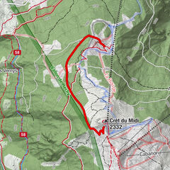
Zinal (1,675 m)Sorebois3.1 kmLa Marmotte4.8 km
- Description
-
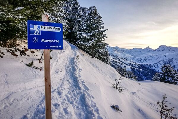
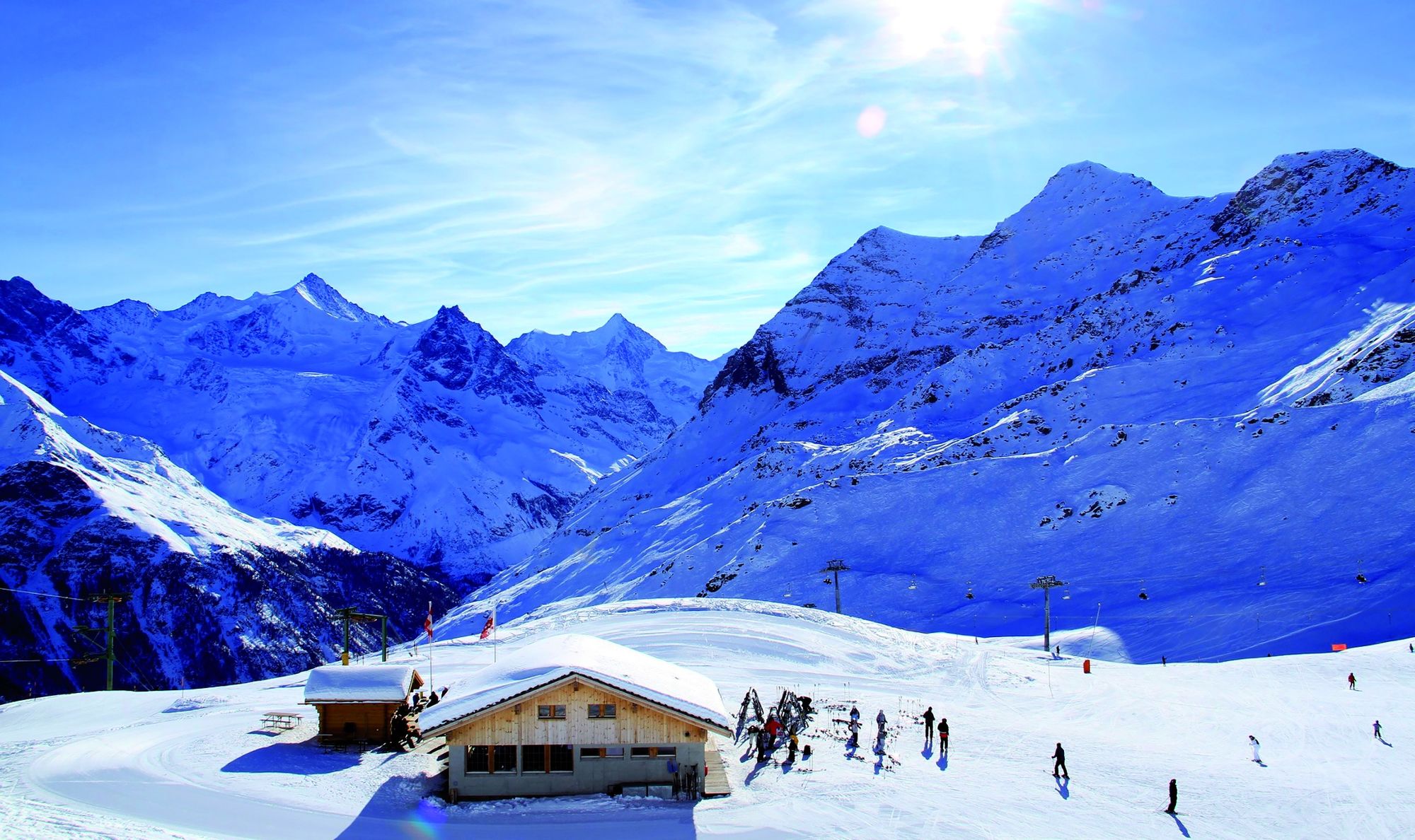
This hike is the best way to get to the Grimentz-Zinal ski area from the village of Zinal. This beautiful ascent, with a magnificent view of the sumptuous 4000m of the Couronne Impériale, will lead you to the Marmotte refreshment bar. Caution is advised due to the proximity of the trail to ski runs.
- Directions
-
Follow the way marks on the left for 300m until you reach the drag lift "La Combe". The path is then marked and groomed up to the Buvette de la Marmotte.
- Highest point
- 2,614 m
- Endpoint
-
Buvette de la Marmotte (domaine skiable)
- Height profile
-
 © outdooractive.com
 - Equipment
-
You are in an alpine environment: you must have the appropriate equipment. Only climbing skins are allowed on these routes (snowshoes are not permitted). Good-quality equipment can be rented or bought from local sports shops.
- Safety instructions
-
The Grimentz-Zinal ski lifts can be used for this excursion when the skiing area is open.The downhill routes are closed when the ski lifts are not operating, and they are not protected from hazards such as avalanches or winch cat snow grooming machines. It is essential to stay on the tracks, only these are sure to be safe.
- Tips
-
Great views await you at the Marmotte Refreshment Bar where you can enjoy a relaxing break.
- Author
-
The tour Zinal : Rando Parc / Marmotte is used by outdooractive.com provided.


General info
-
Unterwallis
93
-
Sierre Anniviers
44
-
Zinal
10