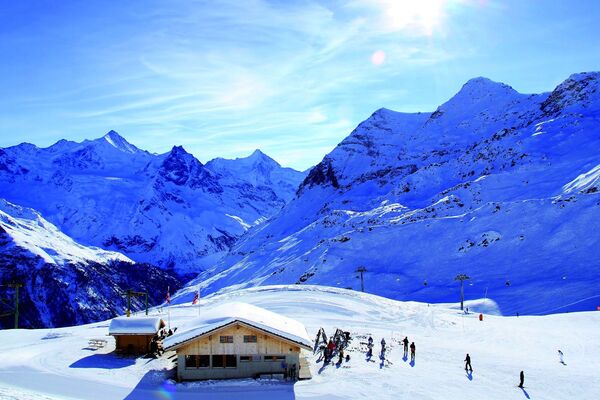
- Brief description
-
A trail of moderate difficulty that delivers a splendid view of the magnificent 4000 m peaks composing the Imperial Crown
- Difficulty
-
difficult
- Rating
-
- Starting point
-
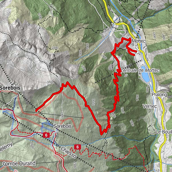
Mottec
- Route
-
Mottec0.3 km
- Description
-
This impressive climb (an almost 1000m ascent) is one of the finest in the area, taking you through unspoilt nature, a world away from the Zinal ski area
- Directions
-
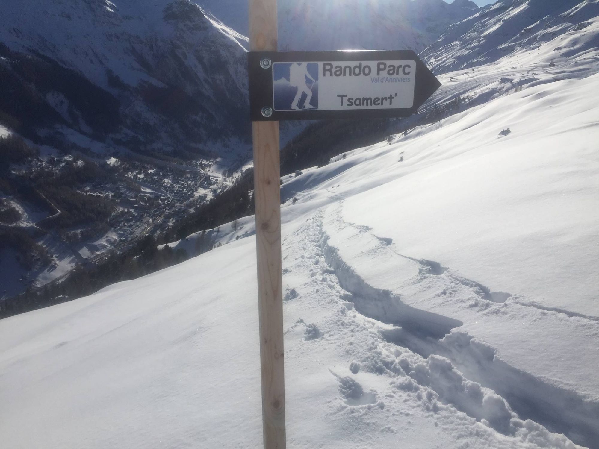
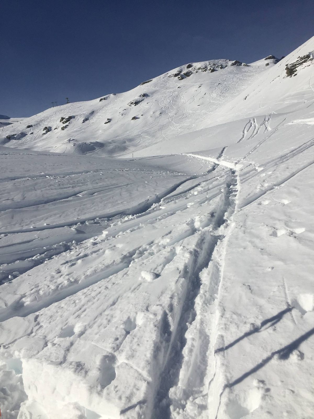
Starting at the bus stop next to the Mottec Hydropower Plant, the trail cuts across a serene expanse where encounters with chamois are not infrequent. Up to the start of the Tsarmette ski lift, hikers are alone amidst nature. Once out of the forest, the panoramic view is stupendous. With a 940 m vertical drop, the uphill trail is especially strenuous as resting locations are few and far between. From the ski lift start, the trail rambles through the Sorebois ski area and ends just above the Avalanche Training Center where you have an opportunity to test your avalanche safety equipment.
- Highest point
- 2,502 m
- Endpoint
-
Au-dessus de l'Avalanche Training Center
- Height profile
-
 © outdooractive.com
 - Equipment
-
You are in an alpine environment: you must have the appropriate equipment. Only climbing skins are allowed on these routes (snowshoes are not permitted). Good-quality equipment can be rented or bought from local sports shops.
- Safety instructions
-
The Grimentz/Zinal ski lifts can be used for this excursion when the skiing area is open.
The downhill routes are closed when the ski lifts are not operating, and they are not protected from hazards such as avalanches or winch cat snow grooming machines. It is essential to stay on the tracks, only these are sure to be safe.


-

-
AuthorThe tour Zinal : Rando Parc / Tsarmet' depuis Mottec is used by outdooractive.com provided.


General info
-
Unterwallis
92
-
Sierre Anniviers
43
-
Zinal
10