


- Brief description
-
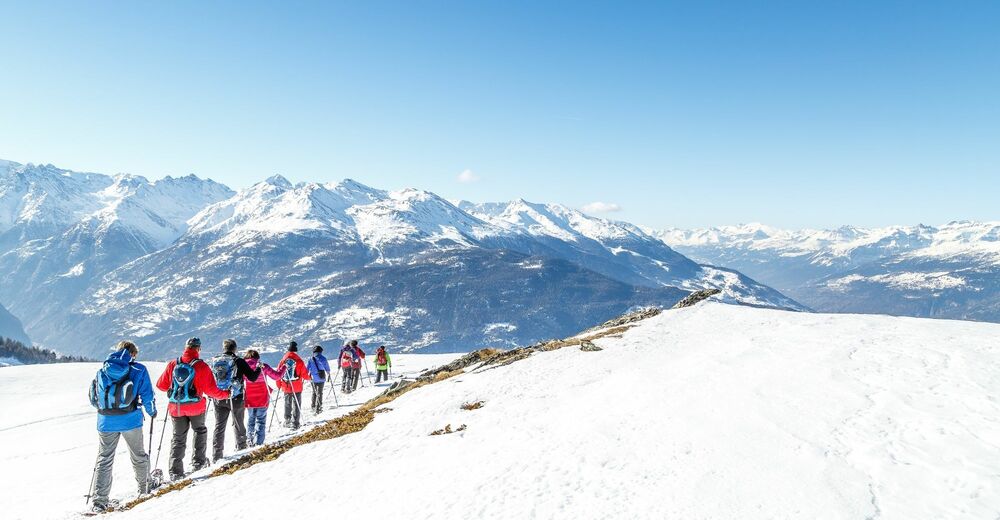
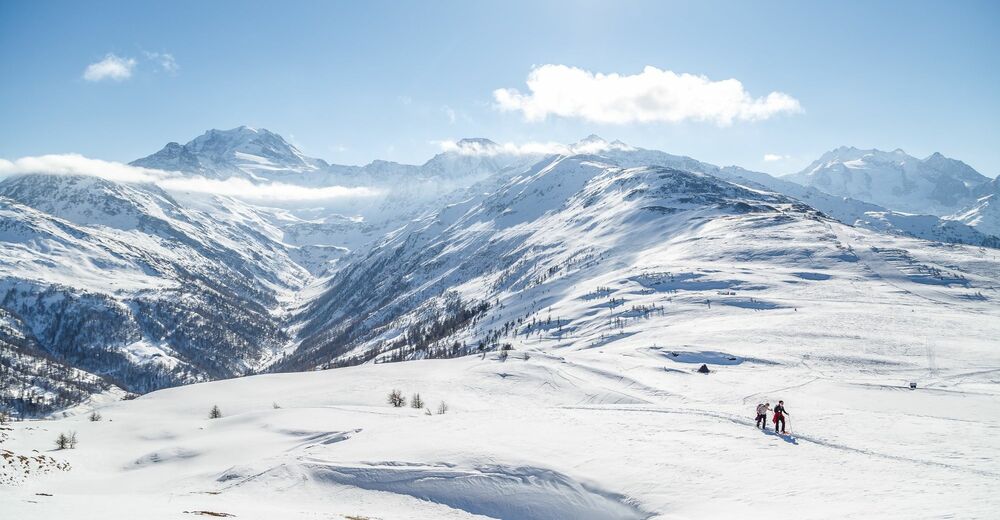
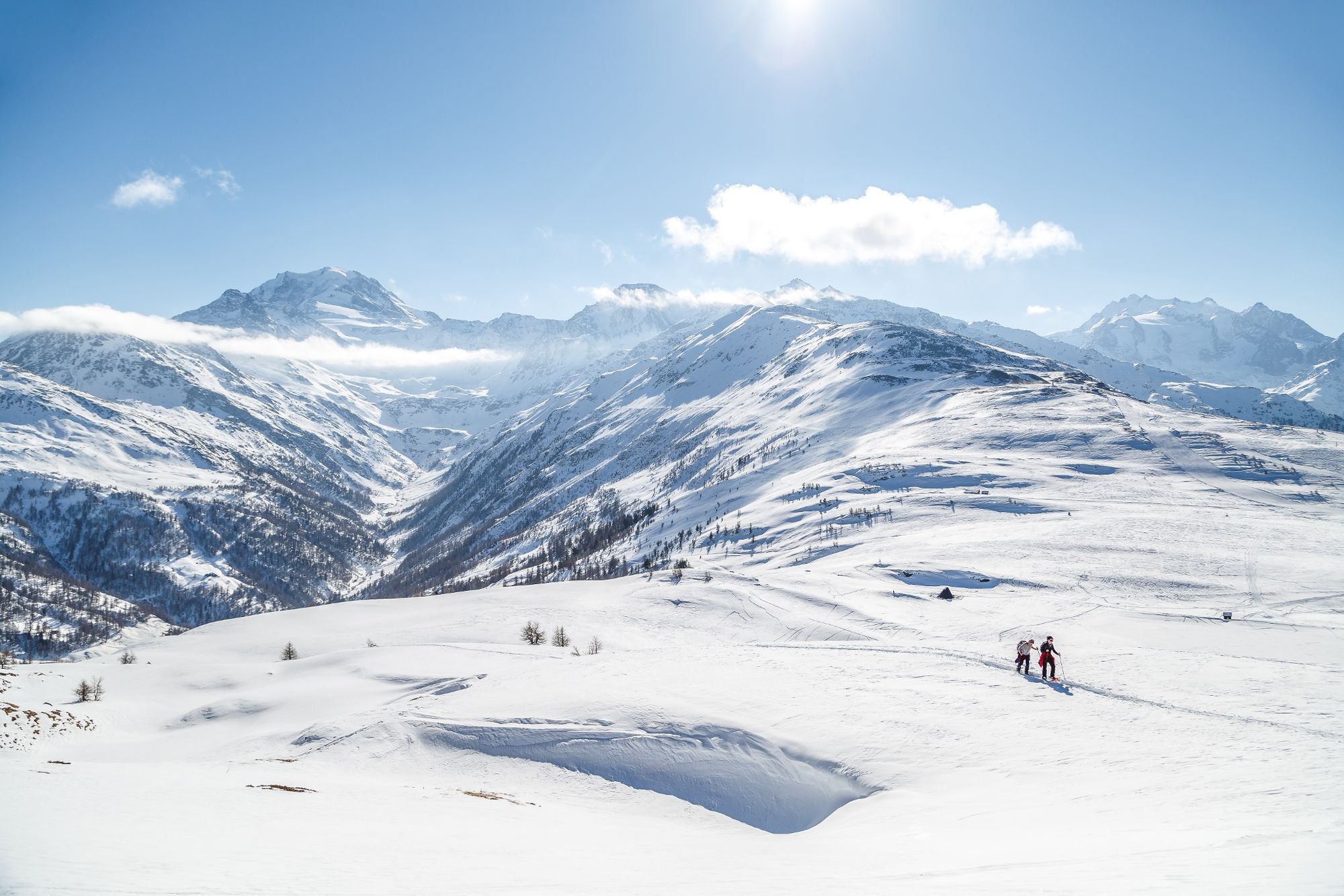
Enjoy a spectacular view of numerous 4000m peaks from this trail on which it seems the sky is within touching distance.
- Difficulty
-
medium
- Rating
-
- Starting point
-
Giw
- Route
-
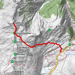
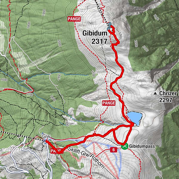
GiwGibidum (2,317 m)4.2 kmGiw7.5 km
- Best season
-
AugSepOctNovDecJanFebMarAprMayJunJul
- Description
-
Take the chairlift from Visperterminen for an easy ride to Giw at 2,000 m above sea level. The Panoramic Trail starts right next to the ski lift. Follow the "Panoramaweg" signs towards Bord until you reach the Gebidum Pass. From here it is about 40 minutes to the Gebidum view point with its incredible 360° panoramic view over 14 4,000m peaks, including the Matterhorn.
- Directions
-
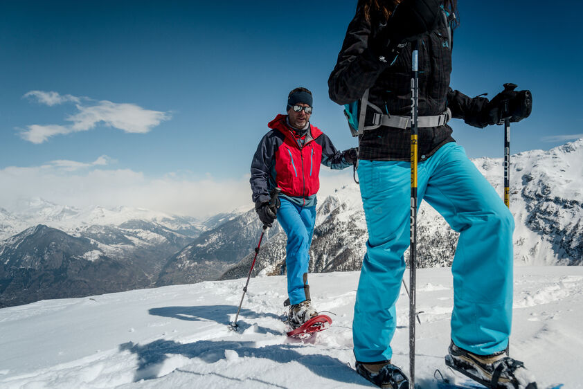
The snowshoe trail to the Gebidum viewpoint starts between the ski lift and Giw mountain restaurant. Following this ascent you will reach Gebidum Lake, followed by the Gebidum Pass. Continue northwards towards the Gebidum lookout point and once there, enjoy the peace and the unique mountain panorama that awaits you. This is the highest point on the trail before returning to Giw.
- Highest point
- 2,312 m
- Endpoint
-
Giw
- Height profile
-
 © outdooractive.com
 - Equipment
-
Nous recommandons :
Bonnes chaussures imperméables Raquettes à neige Bâtons de marche Vêtements adaptés à la météo et au froid : toujours avoir une veste imperméable Chapeau ou casquette Crème solaire Bouteille d’eau, pique-nique Appareil photo Version imprimée de l’itinéraire (cliquez sur « imprimer » pour télécharger) - Safety instructions
-
Use of the trails and the information on this website is at hikers’ own risk. Local conditions may entail changes to routes. Valais/Wallis Promotion accepts no liability for the accuracy and completeness of information on this website.
Bring a map. Download full description of this route including large-scale map by clicking on “Print” icon, top right of this page. Use marked trails only, and observe all signposting – for your own safety, to safeguard grazing animals and to avoid disturbing wildlife. Please be considerate to other trail users, and to the plants and animals. Do not leaveanywaste in nature. Take extra care protecting yourself from the sun at altitude. UV radiation can be exceptionally strong, even in cloudy weather. Plan hike carefully: take into consideration fitness level of each participant, weather forecast and season. Weather conditions can change quickly in the mountains, without warning. Appropriate clothing is therefore essential, along with adequate supplies of food and water. In uncertainweather, turn back in good time. Do not venture onto glaciers without a mountain guide. Take note of the warning signs that point out the constant danger, especially the danger of avalanches. - Tips
-
Enjoy a phenomenal panorama from the Gebidum Pass or later from the sun-drenched terrace at the Giw mountain restaurant.
- Additional information
- Directions
-
Take the A9 motorway and cantonal road 9 to Visp. Follow the signs to Visperterminen and take Terbinerstrasse via Unterstalden and Oberstalden to Visperterminen.
- Public transportation
-
Visperterminen can be reached easily from Visp using post bus 524. The hike begins from the bus terminus at Visperterminen.
- Parking
-
There are a large number of public parking spots in the center of the village.


- Author
-
The tour Visperterminen Panoramic Trail is used by outdooractive.com provided.


General info
-
Aletsch Arena
138
-
Brig Simplon
78
-
Visperterminen
40