
- Brief description
-
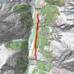
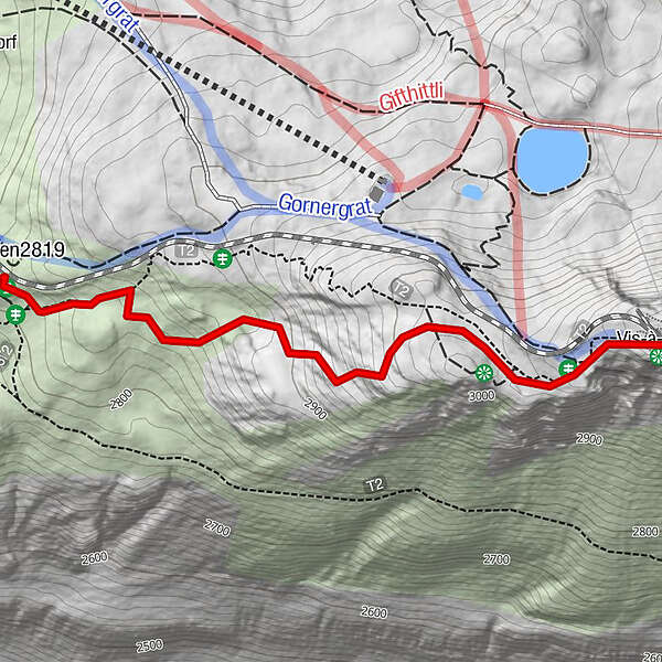
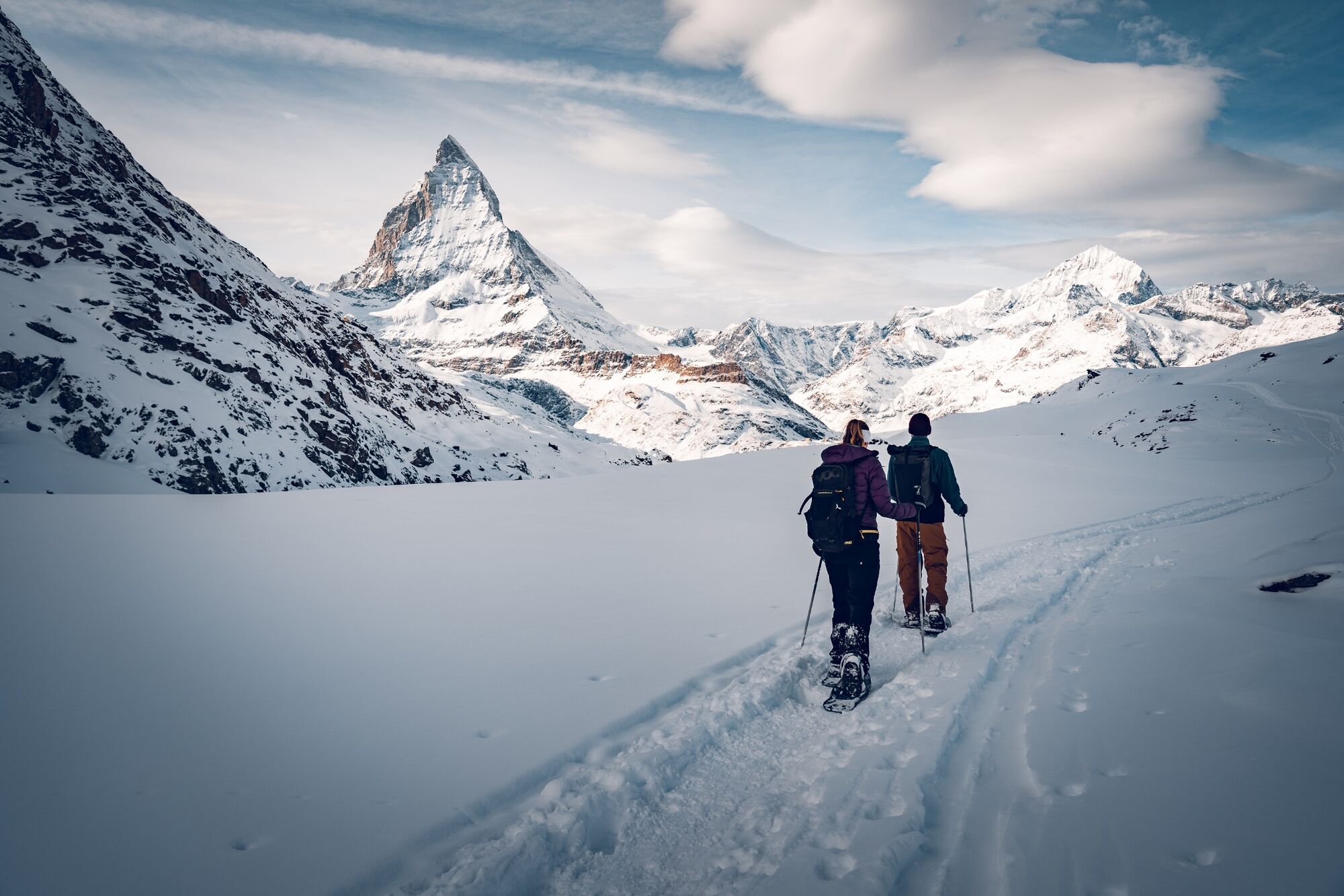
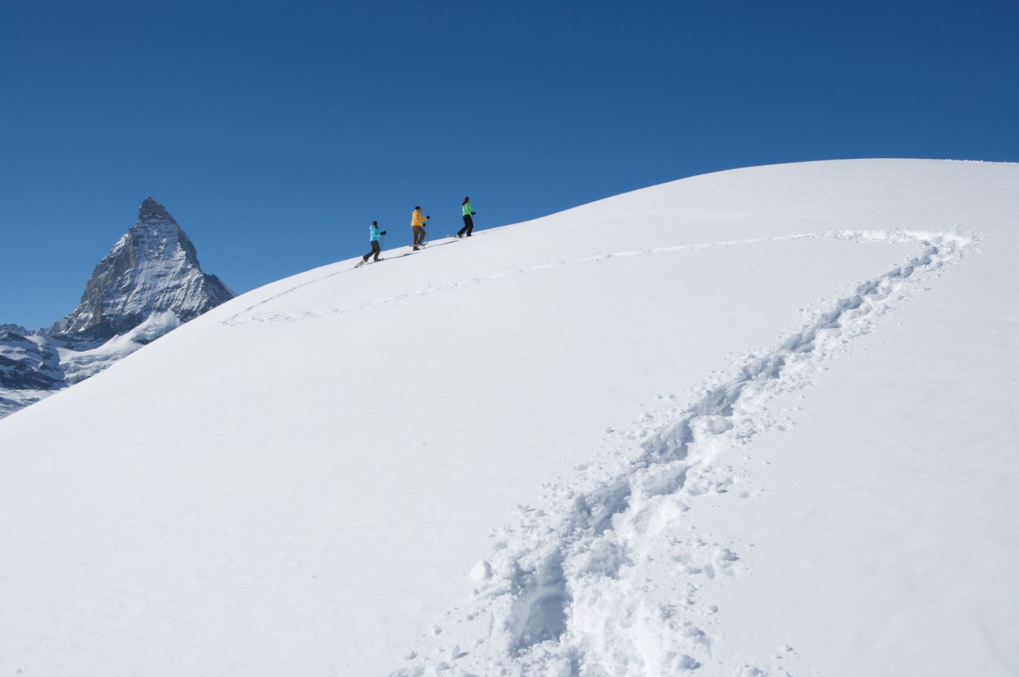
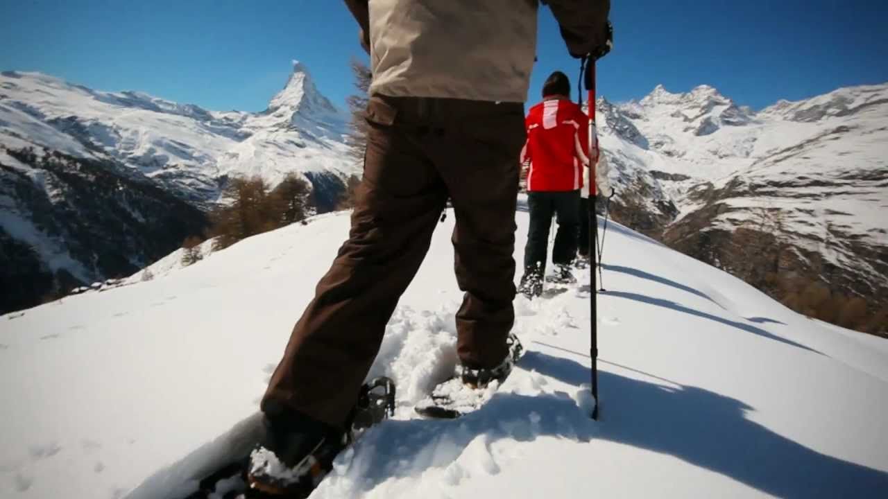
This snowshoe trail leads close to the Gornergrat Bahn railway line from Gornergrat down to Rotenboden. Snow, sunshine and a magnificent mountain panorama with the Matterhorn promise a memorable hike.
- Difficulty
-
easy
- Rating
-
- Starting point
-
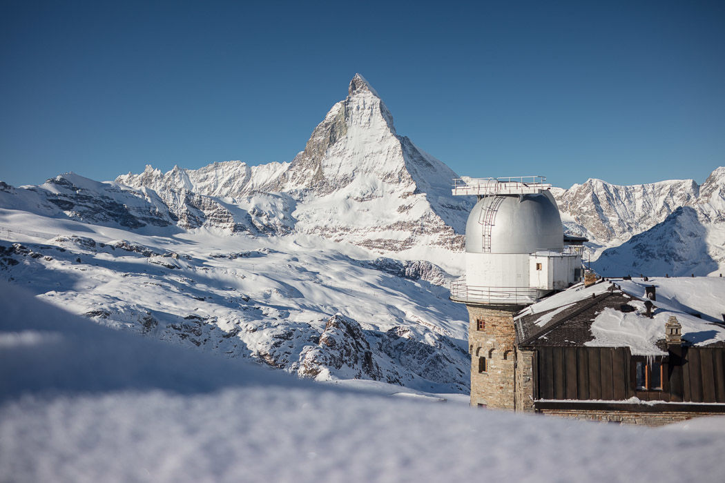
Gornergrat (3,089 m)
- Route
-
Gornergrat0.0 kmRotenboden (2,819 m)1.7 km
- Best season
-
AugSepOctNovDecJanFebMarAprMayJunJul
- Description
-
Especially after fresh snowfall, this walk promises pure pleasure. Hikers following the leisurely trail barely notice the descent of about 300 vertical metres, so beautiful are the mountain vistas – taking in the Matterhorn, Klein Matterhorn, Breithorn and other peaks. Railway enthusiasts are also in for a treat, with fine views of the cog trains of the Gornergrat Bahn as they twist prettily and almost silently through the snow-blanketed landscape.
From Gornergrat, set off left of the railway line Unusual route away from the ski pistes Pink markers approx. every 100 m along the route Photo subjects: Gornergrat Bahn cog railway and mountain panorama Stay on marked trail to avoid disturbing wildlife Guided tours bookable through the Zermatters - Directions
-
Gornergrat - Rotenboden (on the left side of the railway line)
(Hiking time in reverse direction: approx. 1h 30)
- Highest point
- 3,035 m
- Endpoint
-
Rotenboden (2,815 m)
- Height profile
-
 © outdooractive.com
 - Equipment
-
We recommend:
Good, waterproof footwear Snowshoes Hiking poles Warm winter clothing appropriate for the weather - Safety instructions
-
Plan every mountain tour carefully and adapt to participants’ fitness level as well as the weather and season. Weather conditions can change quickly in the mountains. Appropriate clothing is therefore essential, along with adequate supplies of food and water. In uncertain weather, turn back in good time. Inform others of planned route, and whenever possible avoid going alone. Do not leave the marked routes. It is forbidden to walk on the ski pistes. Please be considerate to other walkers and to plants and animals.
The snowshoe trails can be tackled without a mountain guide. Beware: they are not prepared in any way and are not controlled daily; nor are they secured from natural hazards such as avalanches or rockfalls. For safety, check the weather forecast and current avalanche bulletin.
All snowshoeing is at one’s own risk.
Tip: “Be searchable”. Equip yourself with an additional RECCO rescue reflector*. Whether summer or winter. Available in our Online-Shop or our information desk.
*The additional reflector does not replace an avalanche beacon. - Tips
-
If you have not had enough of snowshoe hiking, you can continue along the Panorama Trail to Riffelberg.
- Additional information
- Directions
-
Zermatt is car-free. Private vehicles are permitted only as far as Täsch (5 km before Zermatt). The Täsch–Zermatt road is closed to the public.
Onward travel to Zermatt is either by private taxi or shuttle train. Trains depart every 20 minutes; the journey takes about 12 minutes, and ends at the Bahnhofplatz in Zermatt. - Public transportation
-
By train to the Matterhorn village: 3½ hours from Zürich airport or 4 hours from Geneva airport. Change at Visp onto the Matterhorn Gotthard Bahn (Matterhorn Gotthard Railway). From Visp, the railway leads through the Mattertal valley past idyllic small villages to Zermatt.
Zermatt is also the start and finish point for the world-famous Glacier Express panoramic train journey (Zermatt to St. Moritz or Davos). - Parking
-
Täsch has car parks with both covered and open-air parking – e.g. at the Matterhorn Terminal or privately operated facilities.
Onward travel: see “Getting there”.
- Author
-
The tour Challenge Trail (Nr. 141) is used by outdooractive.com provided.


General info
-
Unterwallis
88
-
Mattertal
60
-
Zermatt
13