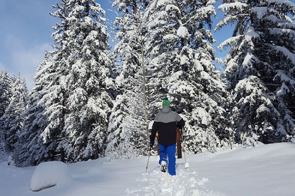

- Brief description
-
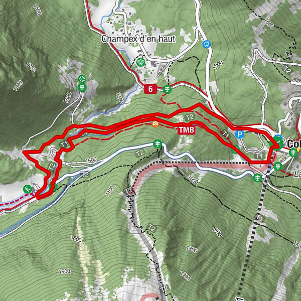
Exposed to the north and often covered in deep snow, this trail leads to the beginning of the Val d’Arpette, on to the Relais d’Arpette and then down along the Champex bisse.
- Difficulty
-
easy
- Rating
-
- Starting point
-
Car park La Breya (bus stop Champex Télé)
- Route
- Best season
-
AugSepOctNovDecJanFebMarAprMayJunJul
- Description
-
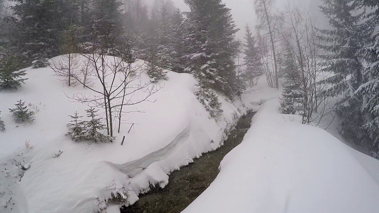
The route will allow you to discover the unspoilt beauty of the Val d’Arpette, a small, protected valley near Champex-Lac. The Relais d’Arpette hotel and restaurant, ideally situated halfway along the path, is the ideal spot for a well-earned break directly opposite the Col des Ecandies, a very popular ski touring route. The Durnand river rises in the Val d'Arpette and flows through the famous Gorges du Durnand towards Martigny.
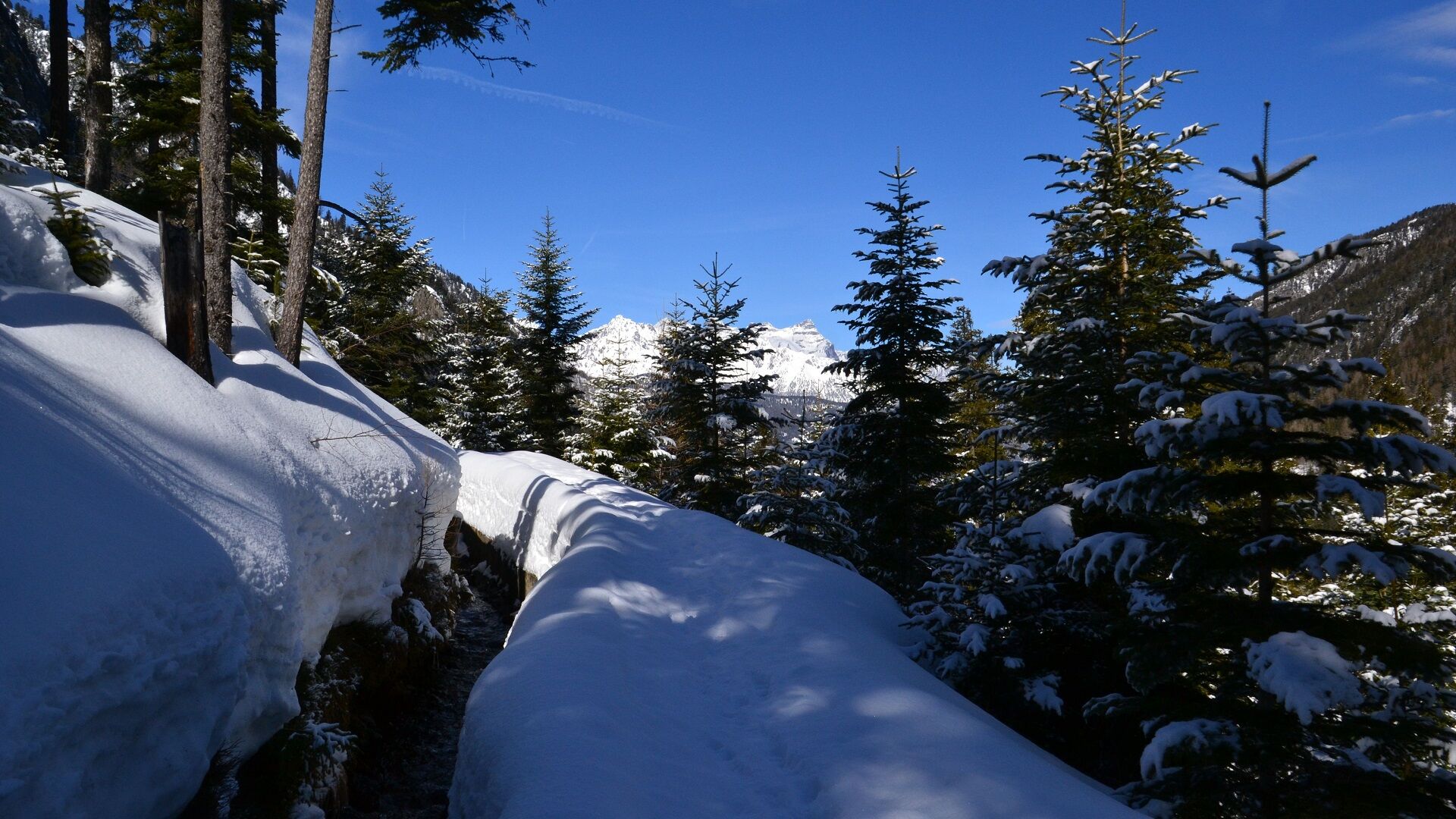
After this pleasant break, return along the right side of the Champex-Lac bisse, before crossing over to the left bank, an idyllic stretch accompanied by the soothing sound of the water as you make your way back to the bottom of the slopes and La Breya chairlift.
- Directions
-
From the Champex télé bus stop, head northwest along the road (you’ll see the cross-country ski track on your left). Then take the forest path to the west, which climbs gently for about 700 m. Leave the road 100 m after the bridge which crosses over the Durnand river and continue heading west, whereas the road goes on to the north. Continue uphill through the forest until you meet the road again and carry on south/southwest towards the Relais d’Arpette.
Cross the mountain stream and follow the toboggan run on the right bank for the next 100 metres. Turn left and follow the river, which you will cross several times until you reach the water intake of the bisse. Follow the path to the east, on the left side of the bisse, until you reach the ski slopes and the lower La Breya chair lift station.
- Highest point
- 1,624 m
- Endpoint
-
Car park La Breya (bus stop Champex Télé)
- Height profile
-
 © outdooractive.com
 - Equipment
-
We recommend:
• Good, waterproof footwear
• Snowshoes
• hikingpoles
• clothing suitable for the weather: always carry a waterproof jacket
• hat or cap
• sunscreen
• bottle for water, picnic
• camera
• printout of this hike (click “Print” icon, top right, to download)
- Safety instructions
-
Use of the trails and the information on this website is at hikers’ own risk. Local conditions may entail changes to routes. Valais/Wallis Promotion accepts no liability for the accuracy and completeness of information on this website.
• Bring a map. Download full description of this route including large-scale map by clicking on “Print” icon, top right of this page.
• Use marked trails only, and observe all signposting – for your own safety, to safeguard grazing animals and to avoid disturbing wildlife.
• Please be considerate to other trail users, and to the plants and animals. Do not leaveanywaste in nature.
• Take extra care protecting yourself from the sun at altitude. UV radiation can be exceptionally strong, even in cloudy weather.
• Plan hike carefully: take into consideration fitness level of each participant, weather forecast and season.
• Weather conditions can change quickly in the mountains, without warning. Appropriate clothing is therefore essential, along with adequate supplies of food and water. In uncertainweather, turn back in good time.
• Do not venture onto glaciers without a mountain guide.
• Take note of the warning signs that point out the constant danger, especially the danger of avalanches.
- Tips
-
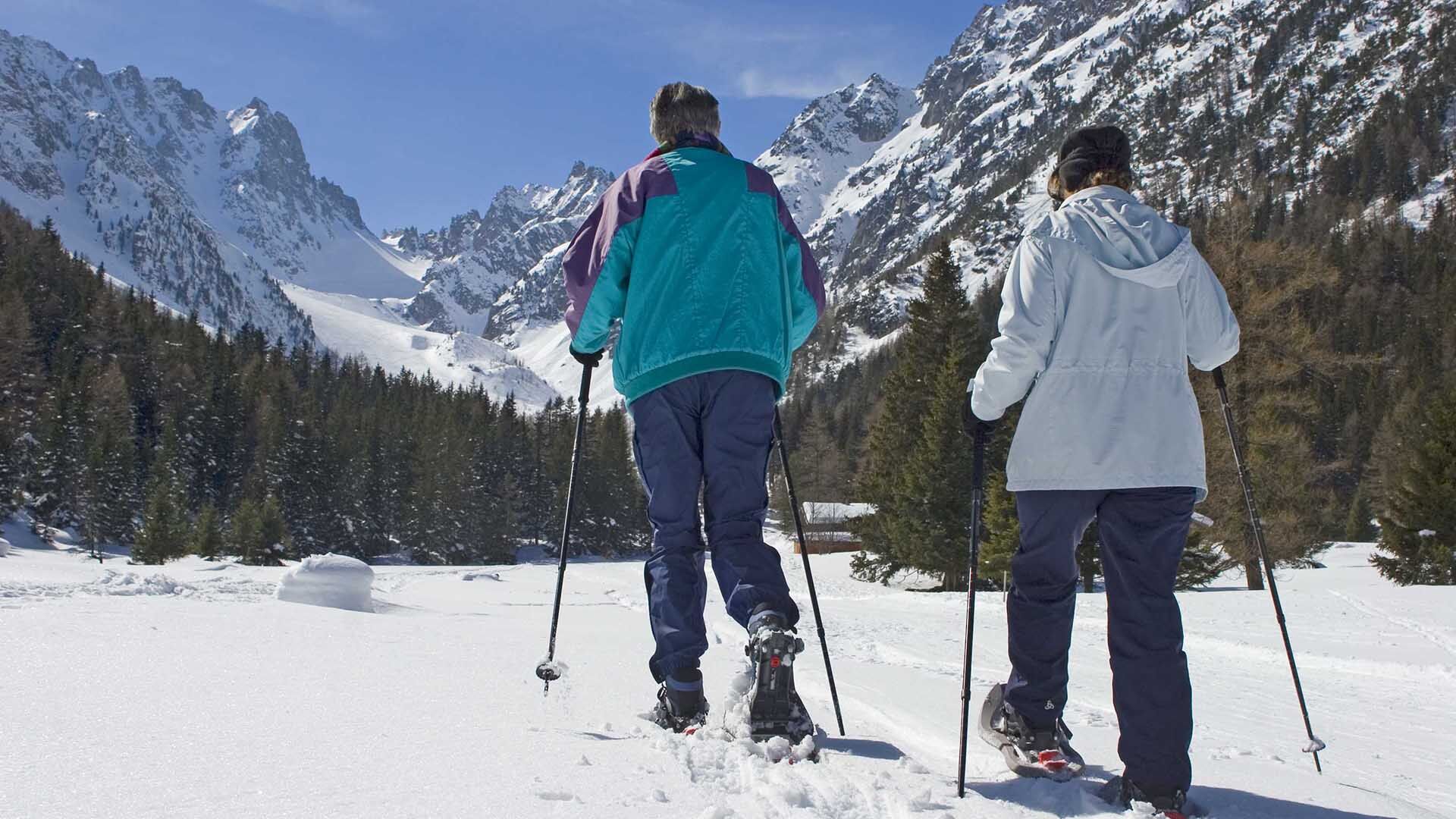
The Val d’Arpette is an unspoilt paradise in winter and in summer alike, and much appreciated by hikers on the Tour du Mont-Blanc.
- Additional information
- Directions
-
Take the 22-Gd-St-Bernard motorway exit in Martigny. Stay on the right and follow the E27 to Chamonix/Gd-St-Bernard/Verbier/Martigny-Expo. After the tunnel which bypasses Martigny, follow the signs for Grand-Saint-Bernard/Italy. Turn off the main road in Orsières and head for Champex-Lac.
You can also leave the main road in Bovernier and get to Champex via Les Valettes, but the road is narrower.
- Public transportation
- Parking
-
There is a large, free car park at the foot of the La Breya chairlift, at the start of the excursion.
- Author
-
The tour N.1 - Champex Bisse is used by outdooractive.com provided.