- Brief description
-
The Great Outdoors as you’ve never experienced it before!
- Difficulty
-
easy
- Rating
-
- Starting point
-
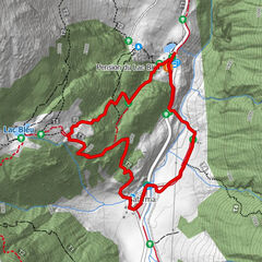
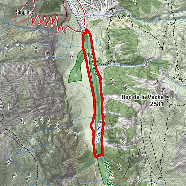
Zinal - Parking de Singline
- Best season
-
AugSepOctNovDecJanFebMarAprMayJunJul
- Description
-
Explore the end of the valley ! This pleasant, easy and scenic walk along the Navizence provides you with a view of the Besso towering majestically in front of you. A popular trail, thanks to its nearly flat, family friendly grade.
- Directions
-
Follow the marked path that runs along the cross-country ski run near the Navisence River, on the Tzoucdana side (right bank) to the Gietti Bridge at the end of the Plats and return on the left bank back to Singline.
- Highest point
- 1,732 m
- Endpoint
-
Zinal - Parking de Singline
- Height profile
-
 © outdooractive.com
 - Equipment
-
Good, waterproof footwear
Snowshoes
Hiking poles
Warm winter clothing appropriate for the weather - Safety instructions
-
Tourist Offices cannot be held responsible in the case of accidents. For your safety, check the weather and snow conditions before setting out on these trails. Observe the signs and prohibitions (piste closures and risk of avalanche). If you are not suf ficiently knowledgeable to choose your trail according to your ability, you are strongly advised to hire a professional guide.
- Tips
-
Why not take advantage of the sled run at the beginning of the trail?

-

-
AuthorThe tour Zinal : Les Plats de La Lée n°1 is used by outdooractive.com provided.


-
Unterwallis
89
-
Sierre Anniviers
65
-
Zinal
26