

- Brief description
-
Enchanting circular snowshoe walk from Evolène through fragrant forest to the alpine pastures of Arbey. Breathtaking views of the mountains of the Val d’Hérens.
- Difficulty
-
medium
- Rating
-
- Starting point
-
Evolène
- Route
-
Evolène (1,371 m)0.2 kmArbey (1,750 m)3.1 kmBuvette d'Arbey3.2 kmEvolène (1,371 m)5.8 km
- Best season
-
AugSepOctNovDecJanFebMarAprMayJunJul
- Description
-
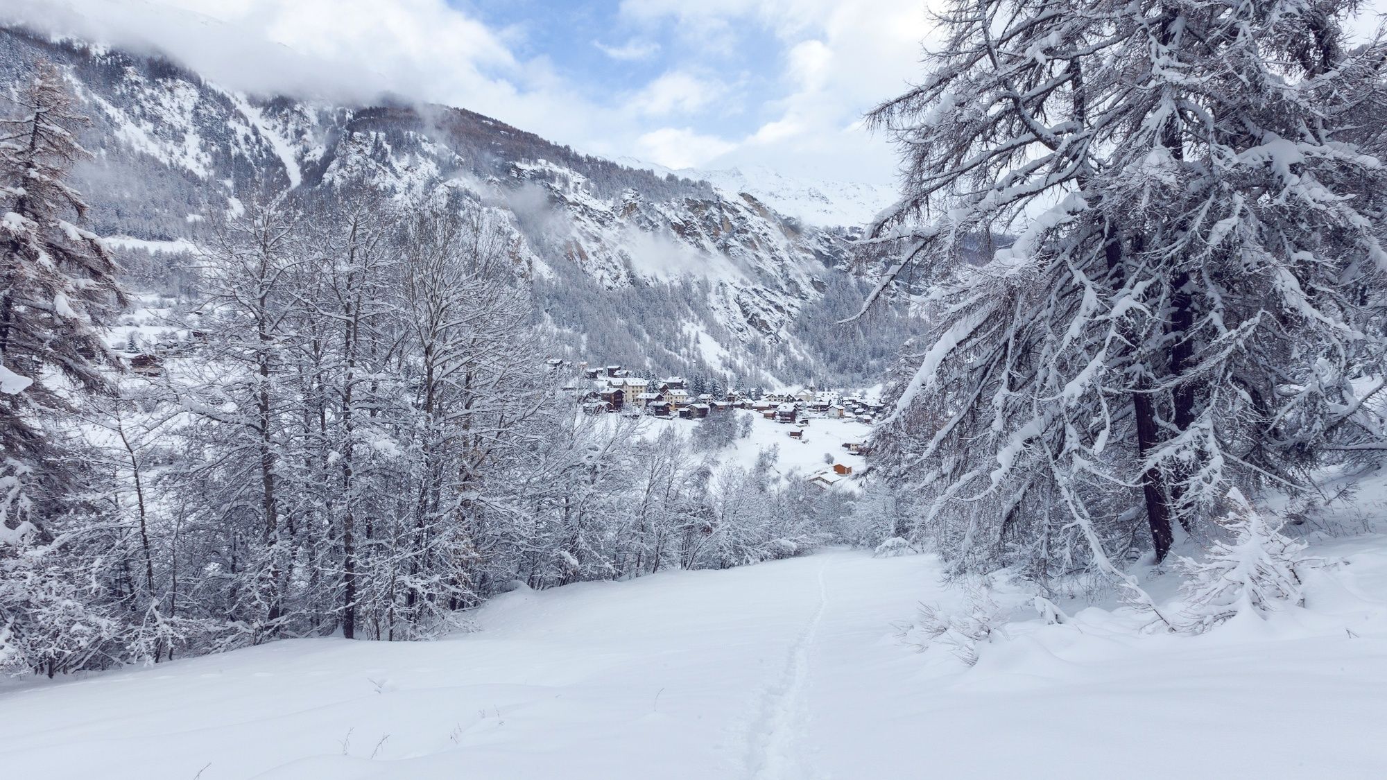
The alpine pastures of Arbey occupy a sunny plateau about 400 vertical metres above the floor of the Val d’Hérens, opposite Evolène. In winter, the snow-covered pastures offer glorious views of the dramatic mountains that frame the Val d’Hérens, culminating in the valley’s emblematic peak, the Dent Blanche (4,357 m).
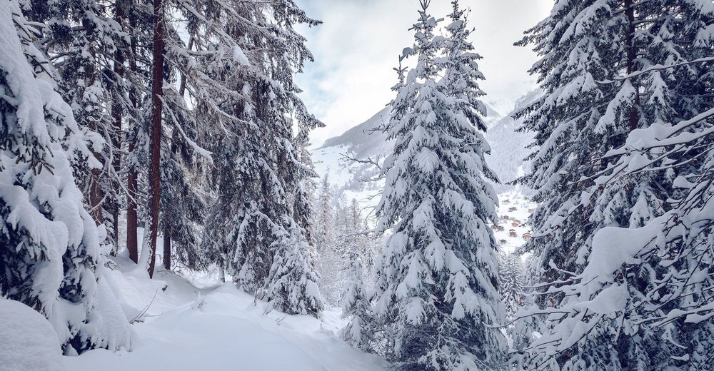
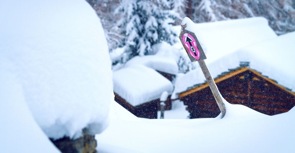
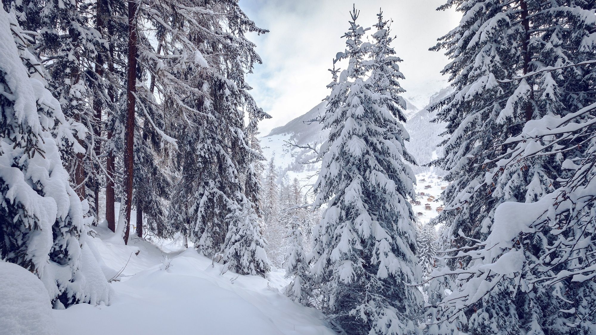
The trail begins on the valley floor just outside Evolène, and leads steadily up through pine forest to the Arbey pastures. In winter, a thick blanket of snow covers the frozen lake, the lush pastures and the roofs of the ancient wooden buildings: the sense of tranquillity is bewitching, and the views breathtaking.
The trail then leads gently downhill along the edge of the clearing before re-entering the forest for the descent back to the starting point.
This lies about 800 metres from the centre of Evolène: a gentle walk of about 15 minutes along quiet lanes. The village itself is well worth exploring, with its exceptionally well-preserved heart of ancient wooden houses.
Die Alpweiden von Arbey liegen auf einem Sonnenplateau gegenüber von Evolène, etwa 400 Meter über dem Val d’Hérens. Im Winter bieten die schneebedeckten Weiden herrliche Ausblicke auf die spektakulären Berge, die das Val d'Hérens umgeben und in der charismatischen Spitze der 4357 Meter hohen Dent Blanche gipfeln.
- Directions
-
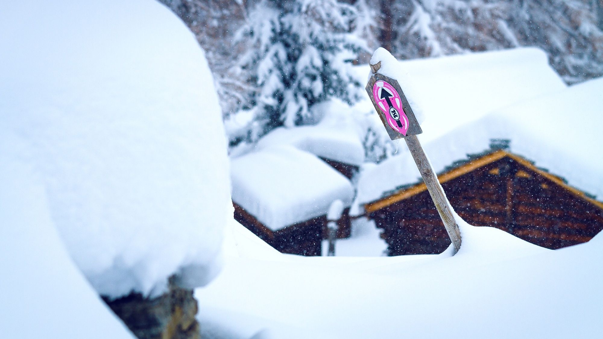
The start of the snowshoe trail lies on the road to Lana, just across the river from Evolène. The route leads anticlockwise up through forest to the Arbey pastures. Here the trail loops around the frozen lake and then follows the edge of the clearing before re-entering the forest. The final section of the walk retraces the initial outward leg for about 500 metres.
The starting point lies about 800 m from the centre of Evolène, or 1 km from the main village car park: an easy stroll of about 15 minutes. From the village church, head downhill to reach the country lane to Lana, and follow this across the river.
- Highest point
- 1,766 m
- Endpoint
-
Evolène
- Height profile
-
 © outdooractive.com
 - Equipment
-
We recommend:
Good, waterproof footwear Snowshoes hiking poles clothing suitable for the weather: always carry a waterproof jacket hat or cap sunscreen bottle for water, picnic camera printout of this hike (click “Print” icon, top right, to download) - Safety instructions
-
Use of the snowshoe trails and the information on this website is at hikers’ own risk. Local conditions may entail changes to routes. Valais/Wallis Promotion accepts no liability for the accuracy and completeness of information on this website.
Bring a map. Download full description of this route including large-scale map by clicking on “Print” icon, top right of this page. Use marked trails only, and observe all signposting – for your own safety, to safeguard grazing animals and to avoid disturbing wildlife. Please be considerate to other trail users, and to the plants and animals. Do not leave any waste in nature. Take extra care protecting yourself from the sun at altitude. UV radiation can be exceptionally strong, even in cloudy weather. Plan hike carefully: take into consideration fitness level of each participant, weather forecast and season. Inform others of planned route, and whenever possible, avoid going alone. Weather conditions can change quickly in the mountains, without warning. Appropriate clothing is therefore essential, along with adequate supplies of food and water. In uncertain weather, turn back in good time. Do not venture onto glaciers without a mountain guide. Take note of the warning signs that point out the constant danger, especially the danger of avalanches. - Tips
-
Allow time to stroll around Evolène, voted prettiest village in French-speaking Switzerland in 2012.
- Additional information
- Directions
-
A9 motorway, exit 27 (Sion-Est), follow signs for Evolène.
- Public transportation
-
Train to Sion, then postal bus to Evolène. Find full timetable information at sbb.ch.
- Parking
-
Large car park at eastern edge of Evolène. The start of the snowshoe walk lies about 1 km away, across the river.
-

-
AuthorThe tour Snowshoeing trail to the Lac d'Arbey is used by outdooractive.com provided.


General info
-
Unterwallis
88
-
Evolène
50
-
Arolla
6