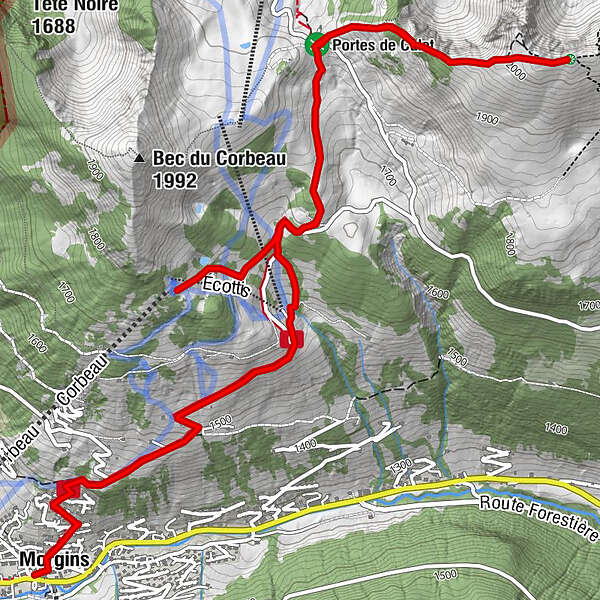
23. Morgins télésiège Le Corbeau - Portes de Culet - Pointe de Bellevue

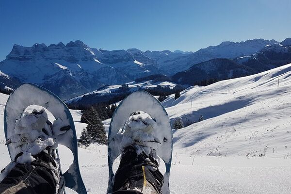
Snowshoe

© Litescape Media

- Brief description
-
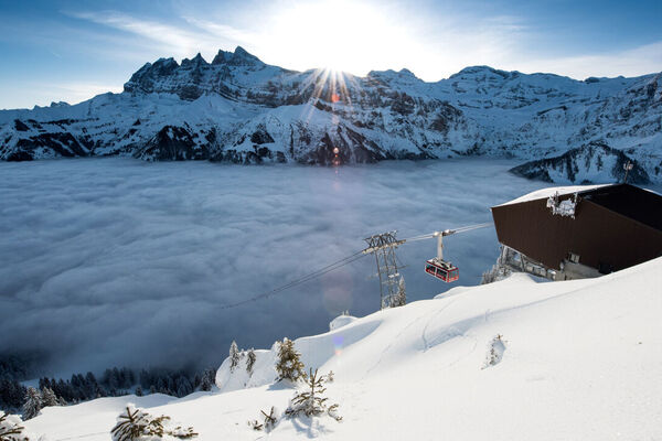
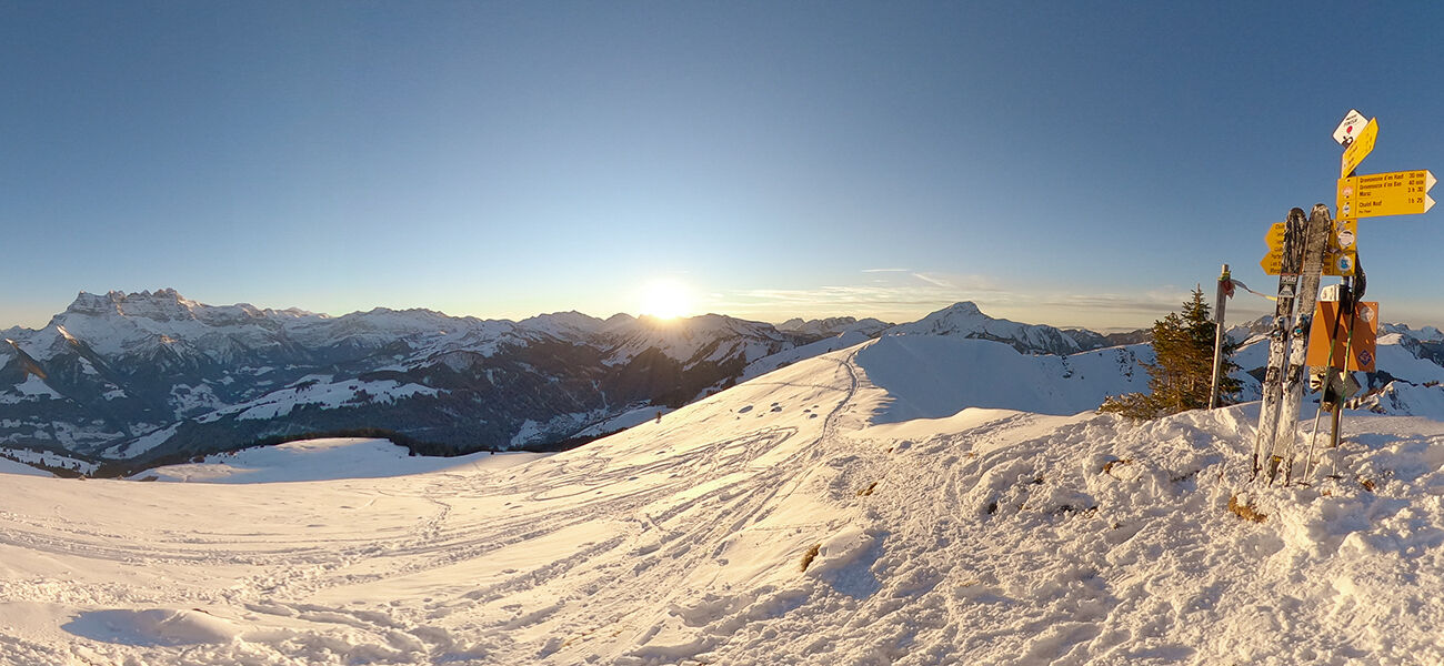
This trail offers one of the region's finest panoramas, a 360° view over Lake Geneva, Mont Blanc and the entire Rhone Plain.
- Difficulty
-
difficult
- Rating
-
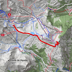
- Route
-
Pointe de Bellevue (2,042 m)2.9 kmMorgins (1,333 m)7.6 km
- Best season
-
AugSepOctNovDecJanFebMarAprMayJunJul
- Description
-
Experienced hikers will love this challenging hike! The culminating point at the Bellevue summit offers an unparalleled feast for your eyes - in a region that already boasts a multitude of spectacular panoramas.
VARIATIONS:
- The variant with chairlift (the one on our main map):
Tour : 4h15, 8km, +420m/-850m
To shorten the ascent, we suggest a route that starts with the Corbeau chairlift. From the top of the chairlift, follow the red snowshoe sign to Les Ecottis. From Les Ecottis, follow the yellow sign "Morgins-Portes de Culet". When you arrive at the col Portes de Culet, follow the red sign "Portes de Culet - Pointe de Bellevue" parallel to the ridge (but do not approach the ridge because of the brittle blown ridges!).
Enjoy the 360° view during your picnic break on the bench next to the summit cross.
Go back down the same itinerary back to the Col Portes de Culet (do not go down towards Chanso, danger of avalanche on the other side!)
Then follow the yellow signs "Portes de Culet - Morgins" to go down directly to the village of Morgins.
- The variant without chairlift for the more experienced hikers:
Tour : 5h30, 10km, +750m/-750m
Start near the church in Morgins’ village centre, passing behind the Chez Jan hotel. Take the road to the right of the bakery to Sépaz (about 20 minutes). The snowshoe trail begins just below the antenna tower. At first, you’ll follow the yellow snowshoe signs marked ‘Morgins-Portes de Culet’.
From the pass "Col Portes de Culet", follow the red snowshoe sign "Portes de Culet - Pointe de Bellevue" parallel to the ridge (but do not approach the ridge because of the brittle blown ridges!).
Enjoy the 360° view during your picnic break on the bench next to the summit cross.
Go back down by the same itinerary (do not go down towards Chanso, danger of avalanche on the other side!) to the Col Portes de Culet.
Then go back down the same way following the yellow signs "Portes de Culet - Morgins" to the village of Morgins.
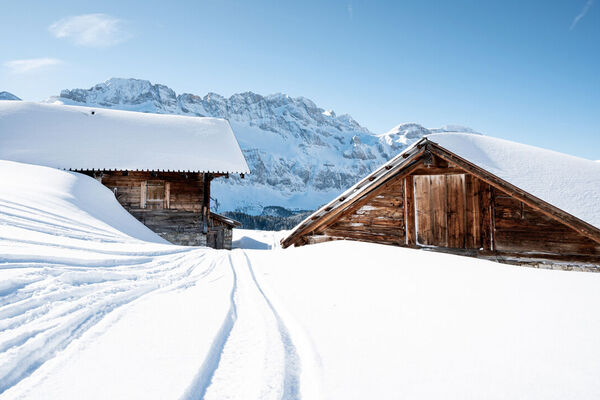
Morgins’ snowshoe trails are marked with round signs in different colours, named by section according to the start and end of the trail segment. The snowshoe trails do NOT show the same numbers used on the Winter Sports Map. - Highest point
- 2,037 m
- Height profile
-
 © outdooractive.com
 - Additional information
-
APIDAE tourism data updated on 17/02/2023 by "Région Dents du Midi SA".
Spotted an error? Write to the owner with the following information:
File name: 23. Morgins télésiège Le Corbeau - Portes de Culet - Pointe de Bellevue | Record identifier: 5893364 | URL (link) for this Outdooractive page.
-

-
AuthorThe tour 23. Morgins télésiège Le Corbeau - Portes de Culet - Pointe de Bellevue is used by outdooractive.com provided.
GPS Downloads


General info
A lot of view
Other tours in the regions
-
Portes du Soleil
60
-
Région Dents du Midi
33
-
Morgins
18