- Brief description
-
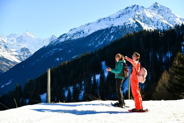
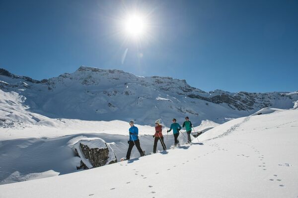
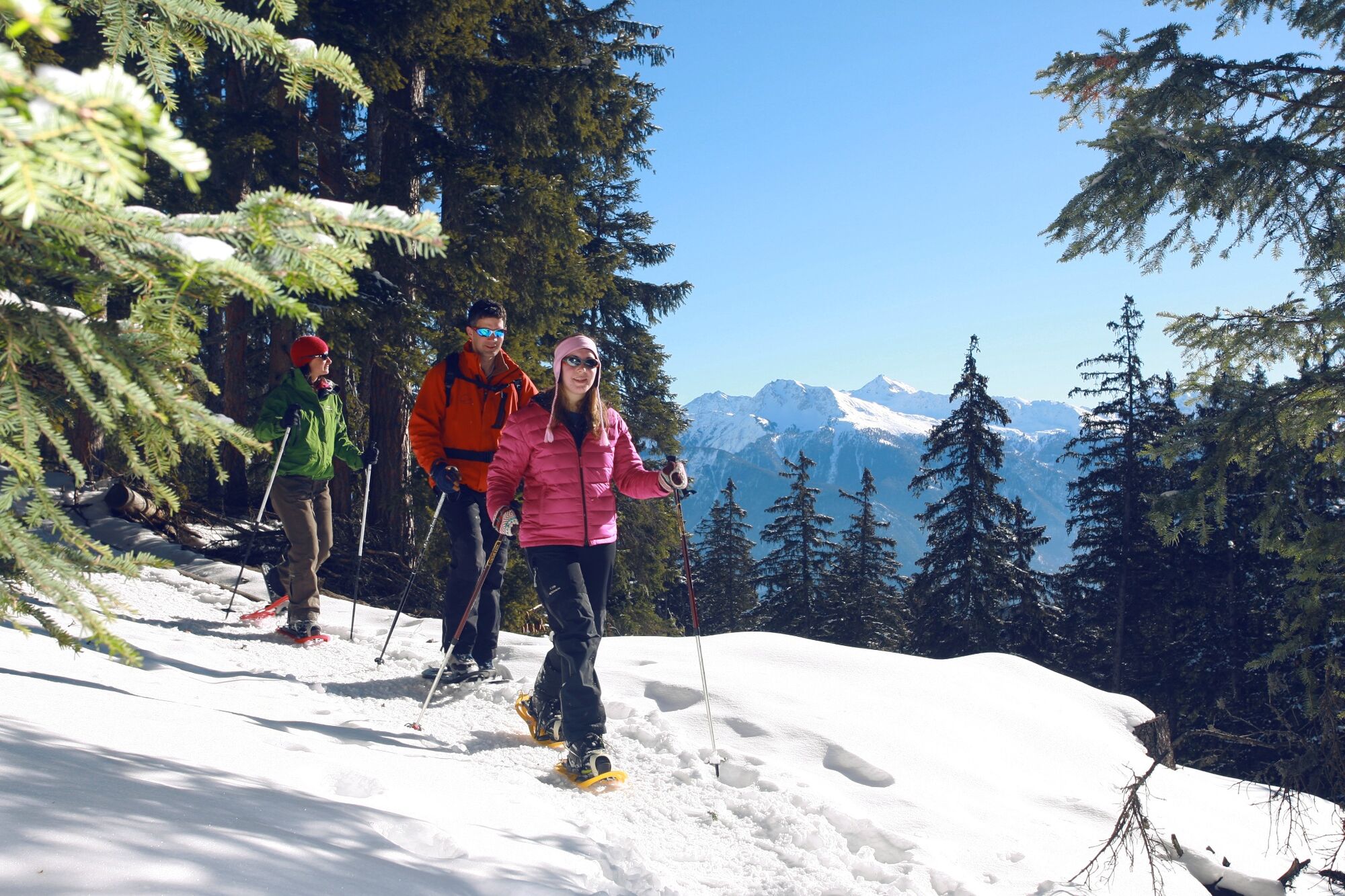
Discover the forests above Crans-Montana and immerge the wintery silence during this short and easy accessible snowshoeing tour.
- Difficulty
-
easy
- Rating
-
- Starting point
-
Crans-Montana, Cry d'Er cable car
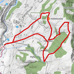
- Route
-
Crans (1,476 m)Plans-Mayens0.4 km
- Best season
-
AugSepOctNovDecJanFebMarAprMayJunJul
- Description
-
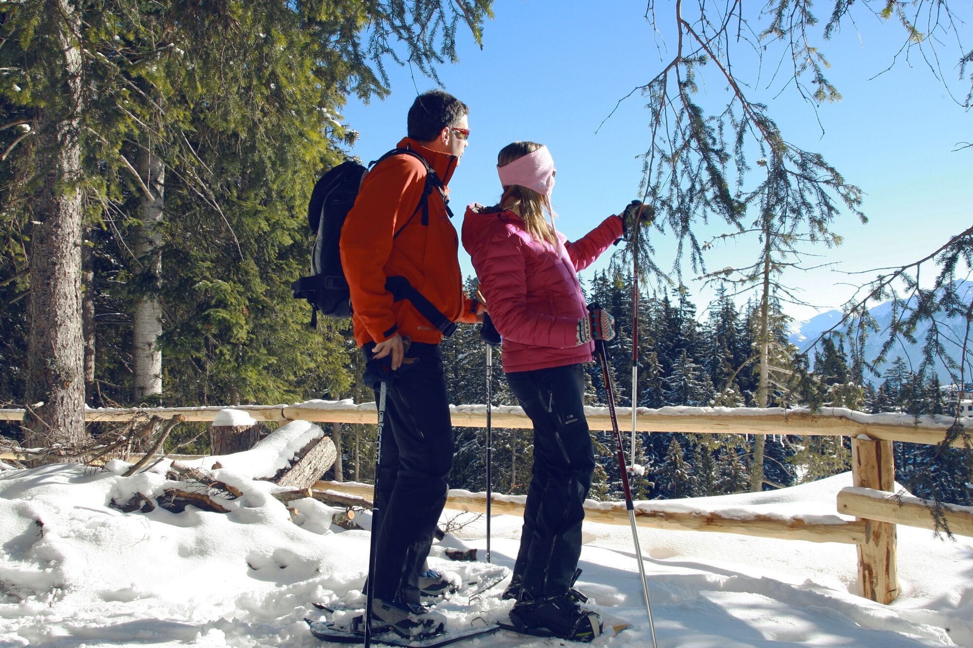
Put on your snowshoes at the starting point of the Cry d'Er cable car station to begin this 2km walk in the heart of the forest overlooking the resort. Enjoy the calm and bucolic joy of this walk, which is easy and suitable for everyone. Stop for a moment to enjoy the magnificent view of the majestic Valais Alps. You can even enjoy this stroll at the end of the day for the chance to watch the sun set over the mountains. It’s a magical moment.
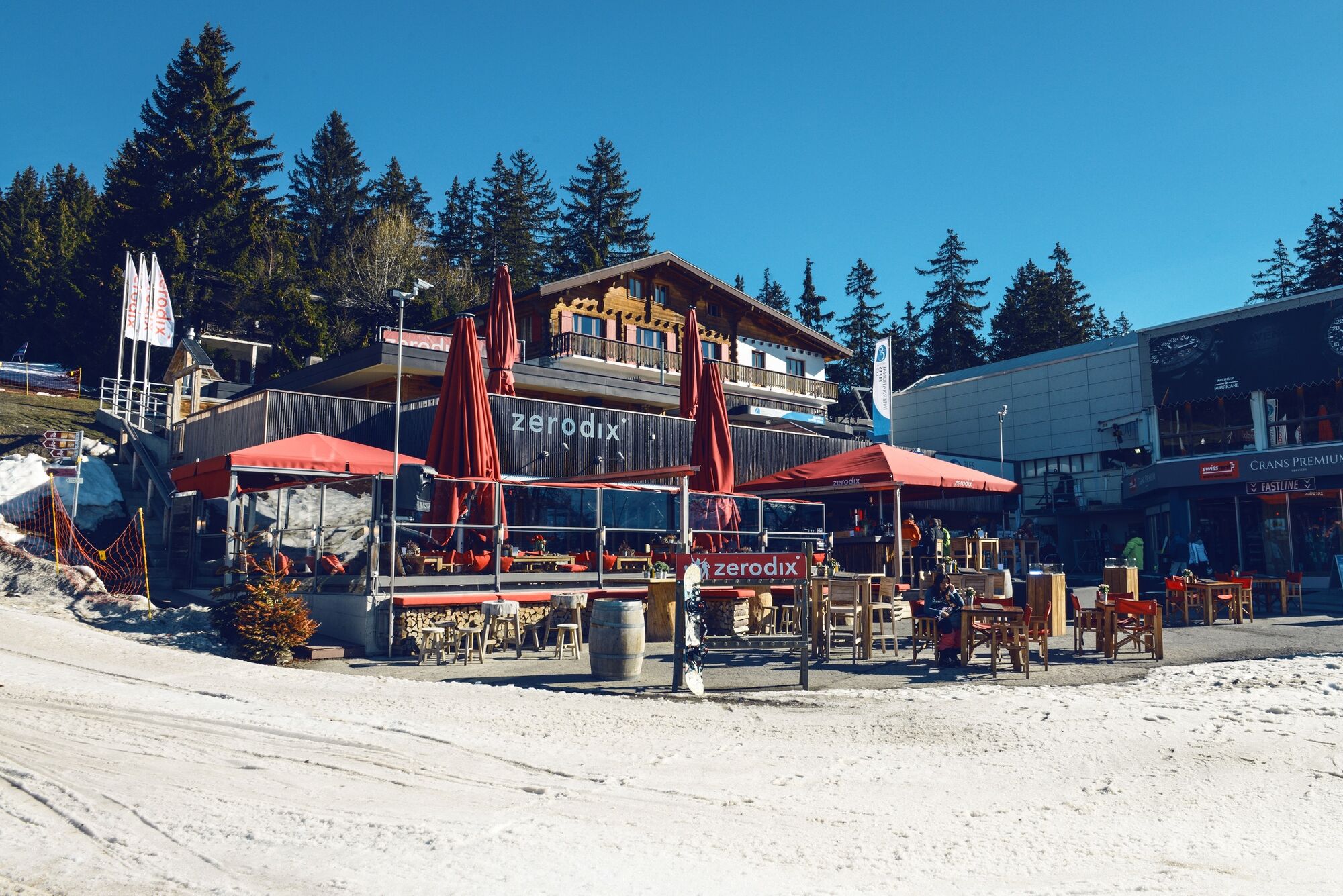
Need a little break? The ZéroDix, at the entrance of the gondolas, is particularly renowned for its lively après-ski events with live music or DJs. Make some time to enjoy its beautiful terrace.
- Directions
-
This simple and easily accessible snowshoeing hike starts at the cable car Crans-Cry d’Er. The hike leads through the forest above Crans-Montana and returns to the starting point after a 2km long roundtrip.
- Highest point
- 1,570 m
- Endpoint
-
Crans-Montana, Cry d'Er cable car
- Height profile
-
 © outdooractive.com
 - Equipment
-
We recommend:
Good, waterproof footwear Snowshoes hiking poles clothing suitable for the weather: always carry a waterproof jacket hat or cap sunscreen bottle for water, picnic camera printout of this hike (click “Print” icon, top right, to download) - Safety instructions
-
Use of the snowshoe trails and the information on this website is at hikers’ own risk. Local conditions may entail changes to routes. Valais/Wallis Promotion accepts no liability for the accuracy and completeness of information on this website.
Bring a map. Download full description of this route including large-scale map by clicking on “Print” icon, top right of this page. Use marked trails only, and observe all signposting – for your own safety, to safeguard grazing animals and to avoid disturbing wildlife. Please be considerate to other trail users, and to the plants and animals. Do not leave any waste in nature. Take extra care protecting yourself from the sun at altitude. UV radiation can be exceptionally strong, even in cloudy weather. Plan hike carefully: take into consideration fitness level of each participant, weather forecast and season. Inform others of planned route, and whenever possible, avoid going alone. Weather conditions can change quickly in the mountains, without warning. Appropriate clothing is therefore essential, along with adequate supplies of food and water. In uncertain weather, turn back in good time. Do not venture onto glaciers without a mountain guide. Take note of the warning signs that point out the constant danger, especially the danger of avalanches. - Tips
-
The view on Valais’ alps is majestic – especially during sunset. The ZéroDix bar at the cable car is well known for Après-Ski parties. Finish your hike with live music or DJ’s.
- Additional information
- Directions
-
A9 highway exit at Sierre-Ouest, follow the national road via Chermigon until Crans. From there, take the cable car to Cry d’Er.
- Public transportation
-
By bus or by funicular from Sierre to Crans-Montana. Follow the red markings on the floor to reach the funicular from Sierre train station.
- Parking
-
Parking at the cable car Crans-Cry d’Er. Follow the local car park routeing in Crans.


-

-
AuthorThe tour Plans-Mayens Trail is used by outdooractive.com provided.


General info
-
Thyon les Collons
106
-
Crans - Montana
84
-
Lens
14