
- Brief description
-
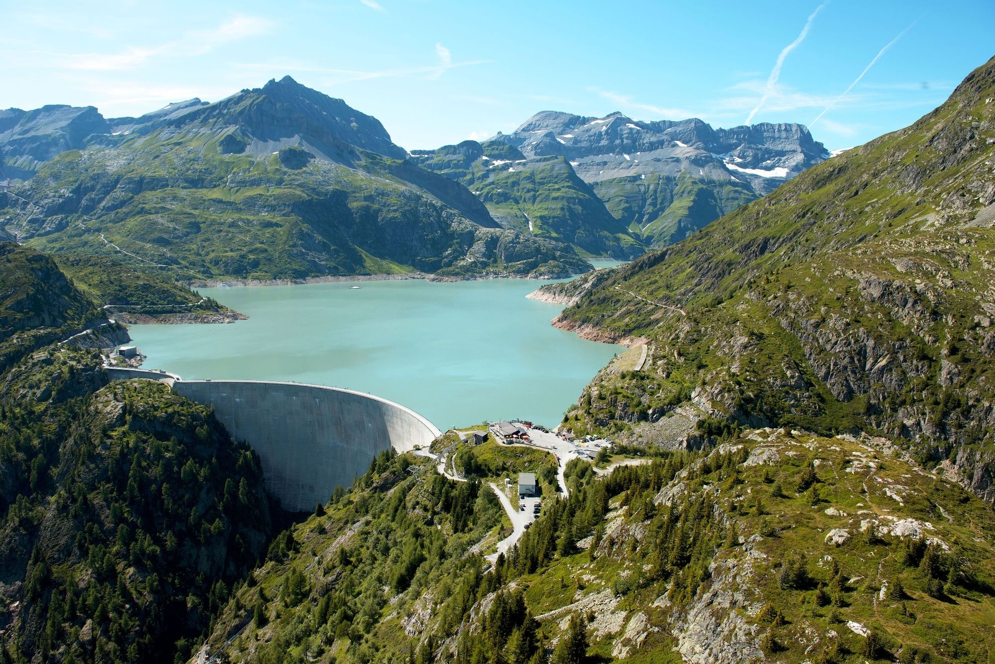
There are about eleven kilometres between Le Châtelard and the Col de la Gueulaz at a height of 1,965m. Made famous by its dinosaur tracks, this pass located at Emosson Dam had the honour of hosting the Tour de France on July 20, 2016.
- Difficulty
-
medium
- Rating
-
- Starting point
-
Le Châtelard
- Route
-
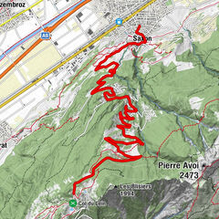
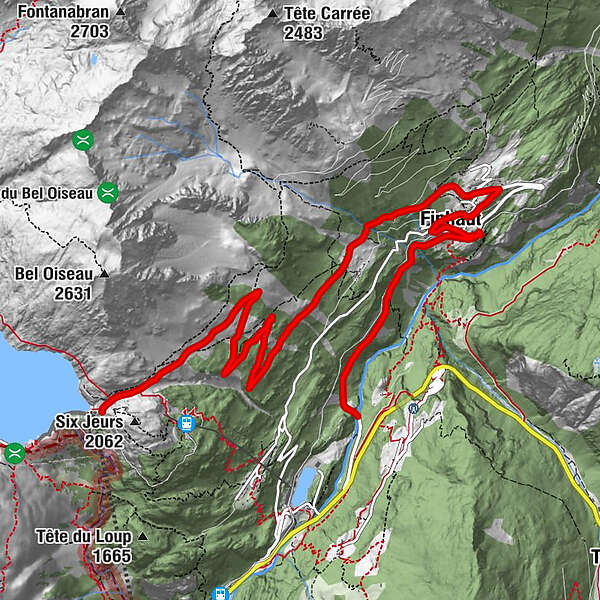
Finhaut (1,228 m)2.7 kmNotre-Dame de l’Assomption2.9 kmCentral3.1 kmChapelle anglicane3.1 kmLe Léamon3.4 kmLe They4.1 kmLes Fontaines4.6 kmLa Léchère5.3 kmLe Pas9.0 kmNotre-Dame de la neige10.7 km
- Best season
-
JanFebMarAprMayJunJulAugSepOctNovDec
- Description
-
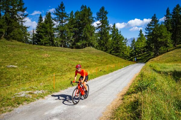
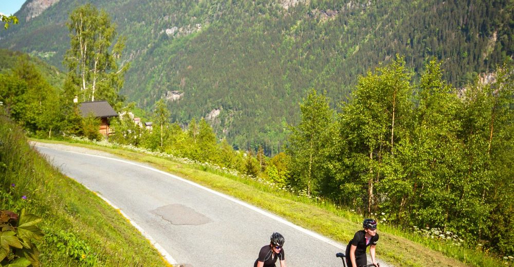
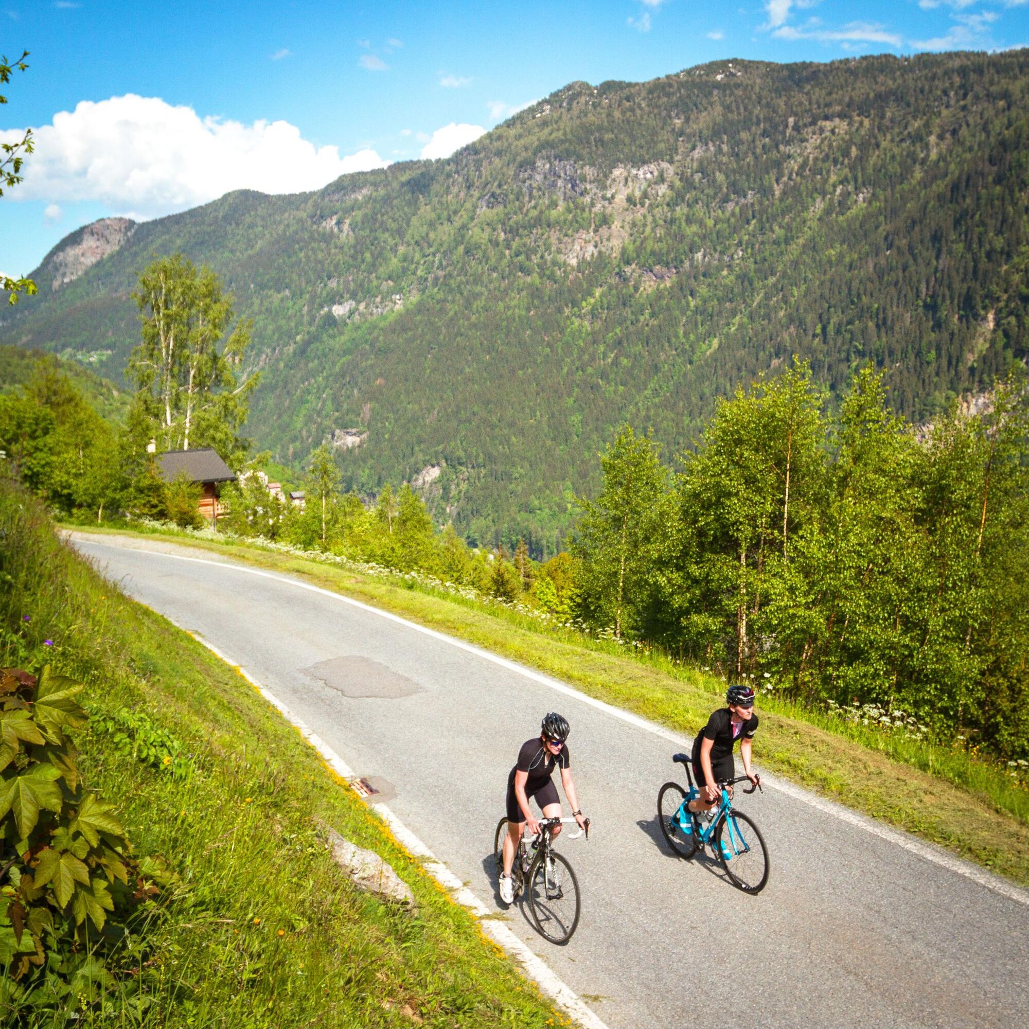
The village of Le Châtelard on the border with France is the starting point for the ascension of the Col de la Gueulaz. After several hundred metres on the route de la Forclaz, this itinerary takes a left towards Finhaut. As you are climbing, you discover impressive mountain scenery worthy of the great Alpine passes. Feel free to refuel in the village of Finhaut, as the last part of the climb that brings you to the Emosson Dam will require some muscle. The summit is located at the arrival location of a stage of the 2016 Tour de France, and the restaurant at the dam will replenish you while offering a view that will take your breath away!
- Directions
-
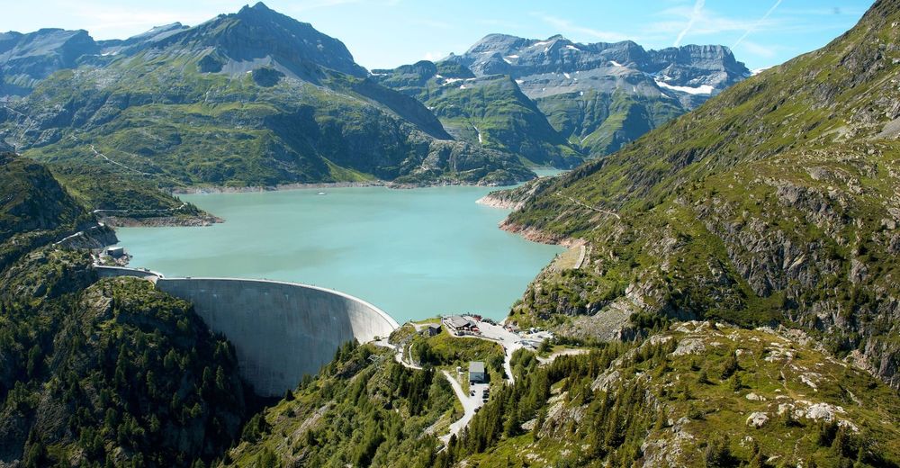
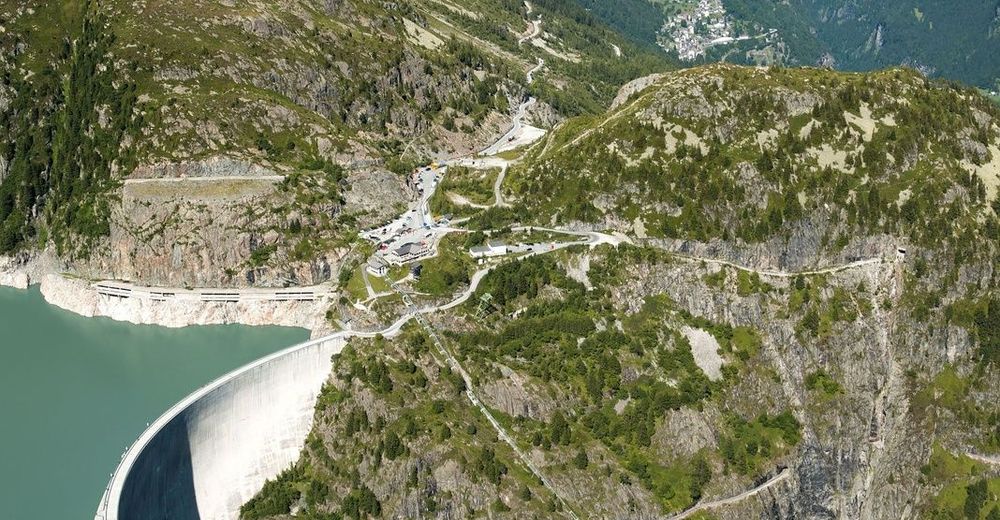
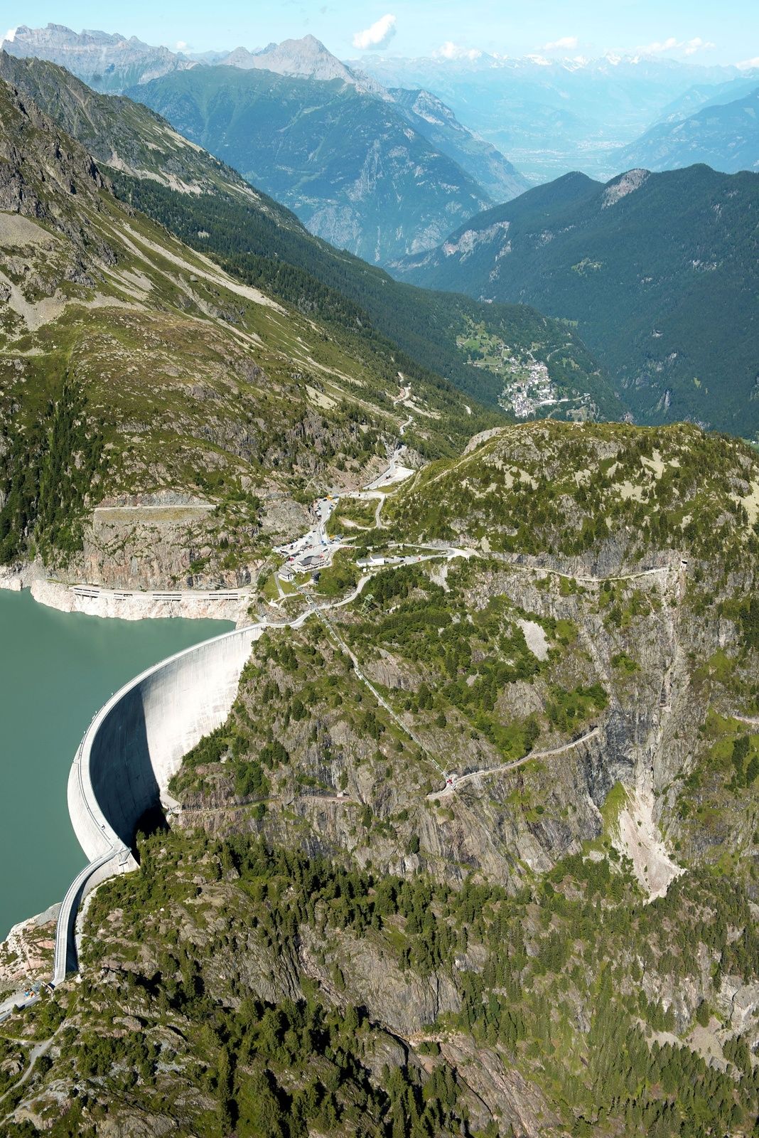
From Le Châtelard to the Emosson Dam, the Col de la Gueulaz is poised to become a must-do pass for any cycling fan, as it was the arrival point of the Bern-Emosson stage of the 2016 Tour de France. The more you climb, the more the scenery becomes pristine and magical! Until the last moment, the dam remains hidden, and you won’t see it until you have conquered the Col de la Gueulaz at 1,965m. And there all of your efforts will be compensated, with the view of the Mont Blanc, the Aiguilles du Tour, and this impressive dam constructed from 1969 to 1975, the second largest dam in Switzerland, and the third highest in Valais. When you are on top of the dam in spring, look deep into the lake and you may see the remnants of the Barberine Dam… Constructed in 1925, it was engulfed by the Emosson Dam when it was filled...
- Highest point
- 1,964 m
- Endpoint
-
Col de la Gueulaz
- Height profile
-
 © outdooractive.com
 - Equipment
-
We recommend: bike in excellent working order, helmet, gloves and bell, clothing suitable for the weather (always carry a waterproof), food and drink.
- Safety instructions
-
Strictly respect the Swiss traffic rules. Please note that you are running the tour at your own risk and all liability is refused. Please be considerate to plants and animals. For your own safety, wear an helmet every time you ride a bike. Emergency numbers: 144 Ambulance / 117 Police / 1414 Helicopter Rescue (Rega).
- Additional information
- Directions
-
Motorway A9 to Martigny, then take the E27 Road to Martigny-Combe, where you take the road to the Forclaz Pass. Pass by Trient and arrive at Le Châtelard.
- Public transportation
-
From Martigny, take the regional train (TMR) to Le Châtelard.
- Parking
-
Parking at the village of Le Châtelard.
- Author
-
The tour Col de la Gueulaz – Legendary Mountain Passes is used by outdooractive.com provided.