
- Brief description
-
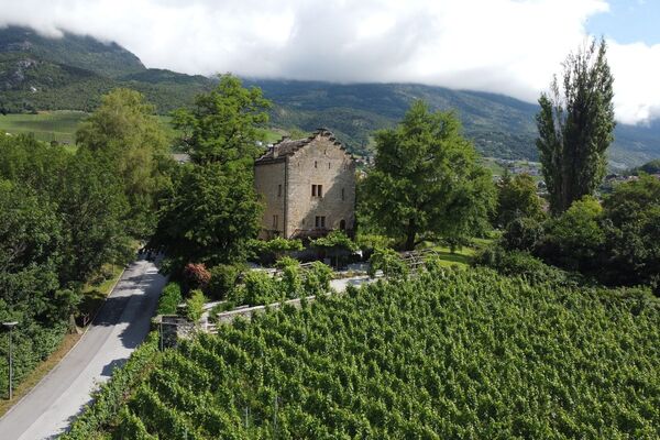
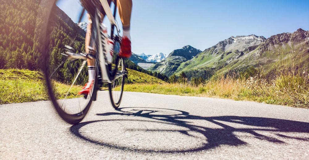
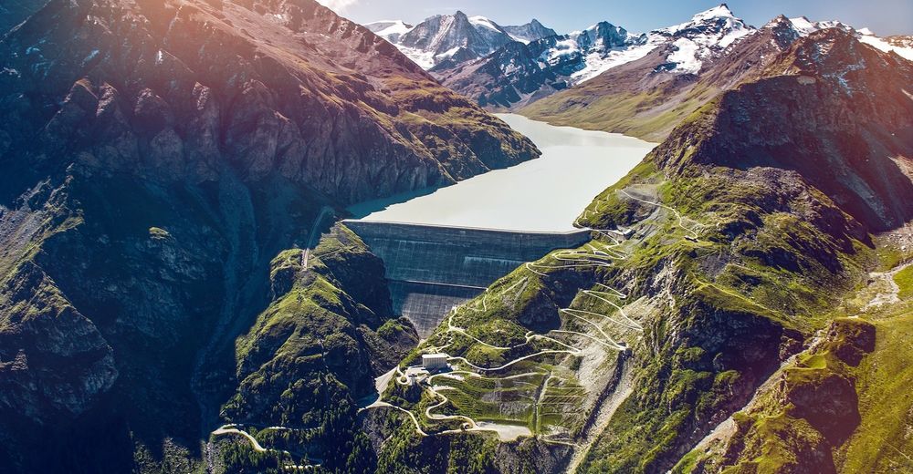
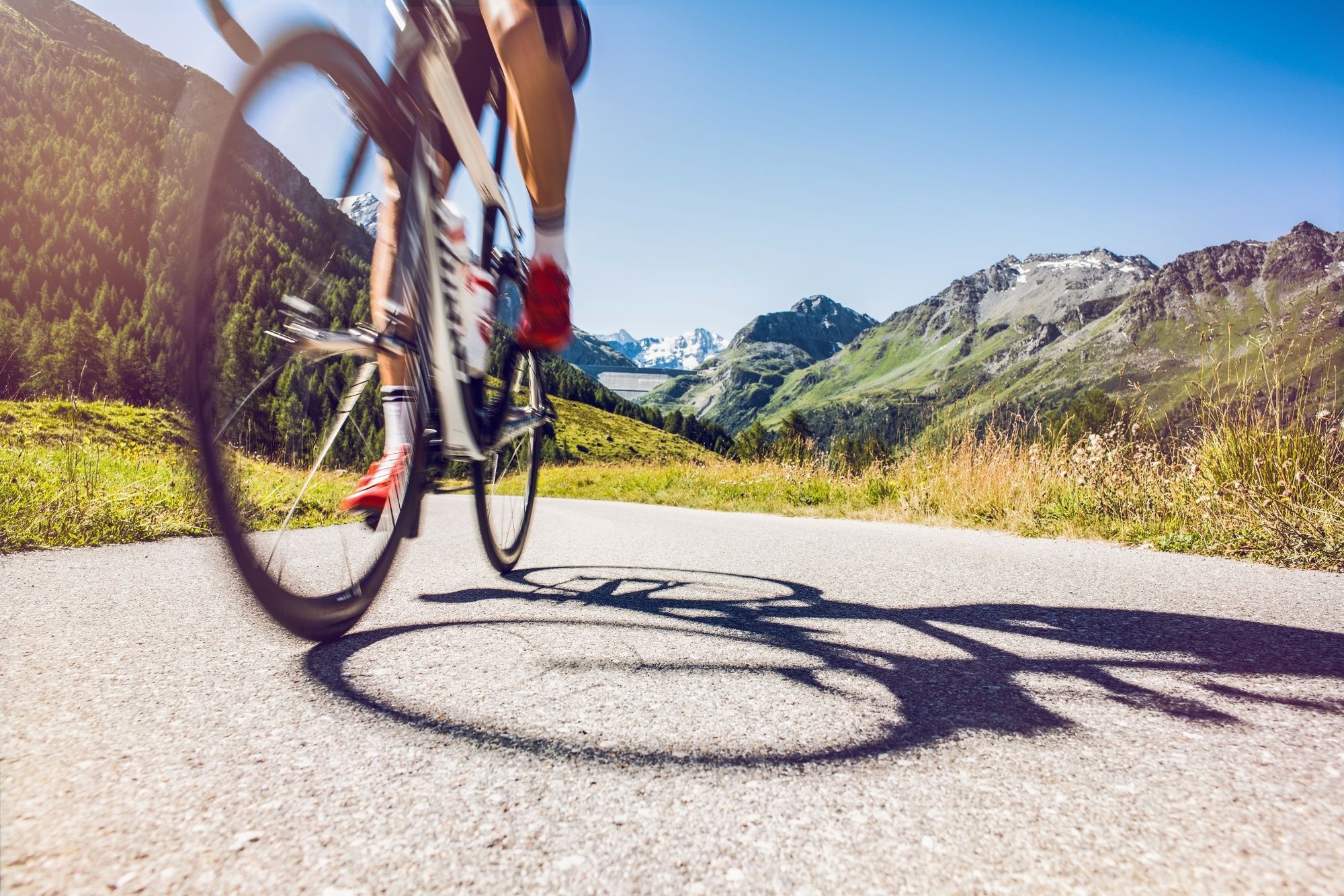
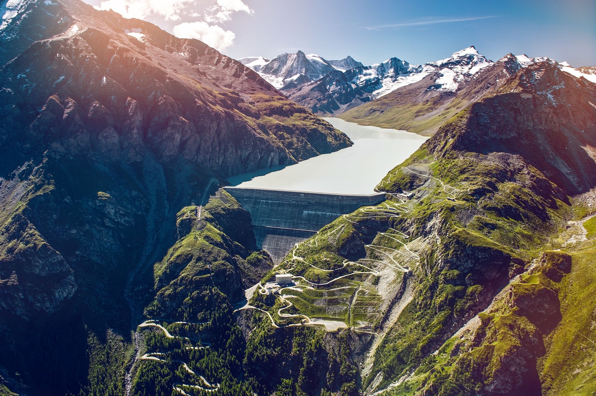
This climb allows you to explore Hérémence as you make your way through spectacular landscapes and discover the world’s highest gravity dam, the Grande Dixence.
- Difficulty
-
difficult
- Rating
-
- Starting point
-
Chemin du Creux-de-Nax 9, 1967 Bramois (alt. 511m)
- Route
-
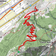
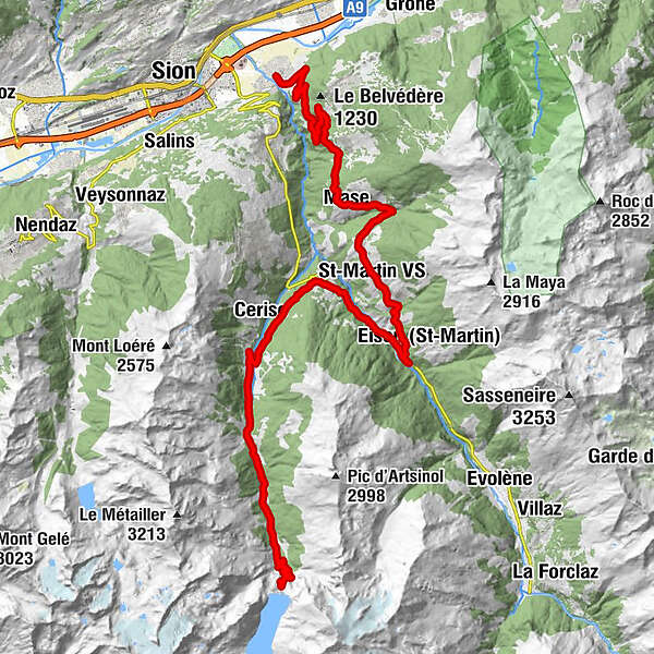
Brämis0.0 kmLa Sangria0.1 kmBornouet7.3 kmLes Barmes7.7 kmFontany8.4 kmVernamiège8.6 kmLes Prixes8.8 kmLe Vieux Bourg10.8 kmMase (1,345 m)10.8 kmLes Pérys11.6 kmSuen (St-Martin)14.2 kmSt-Martin VS (1,411 m)15.2 kmÉglise Saint-Martin15.3 kmTrogne (St-Martin) (1,478 m)16.0 kmLiez (St-Martin)17.0 kmPraz-Jean19.6 kmLa Luette20.8 kmEuseigne22.9 kmMâche26.1 kmPralong31.8 kmKapelle des Heiligen Jean-Baptiste37.8 km
- Best season
-
JanFebMarAprMayJunJulAugSepOctNovDec
- Description
-
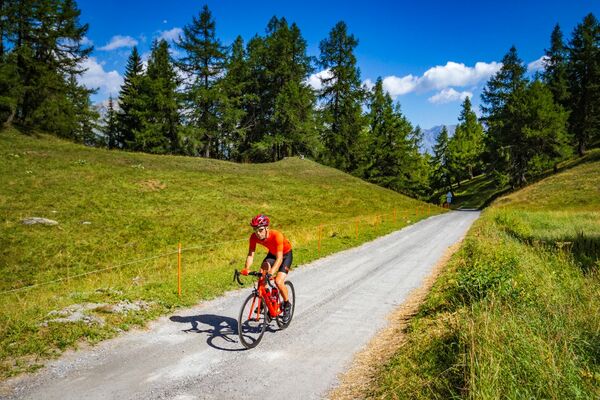
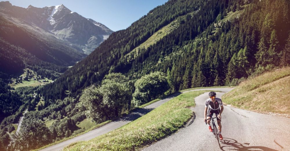
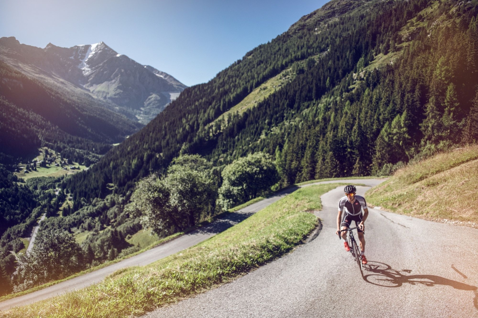
Starting from Bramois, leave the plains via a relatively gentle and steady climb on a broad road passing vineyards and pastures. As the kilometres roll by, the panoramic view expands to include the nearby Mandelon and the Dent d’Hérens in the distance. The route passes through the sunny, traditional villages of Mase and St-Martin before making a descent towards Euseigne that includes a few straight and speedy stretches. On arrival in Euseigne, the route begins to climb again in the direction of Mâche, then joins the main road that leads to Grande Dixence dam. As you make your way through the Val des Dix, the natural surroundings and environment become increasingly wild and unspoilt. The last few kilometres are steeper, and you’ll have to make your way through numerous hairpin bends to reach the foot of Grande Dixence dam. From there, the view of the surrounding summits and pine forests is spectacular.
- Directions
-
From Bramois village centre, head towards Mase/St-Martin on the cantonal road that winds along the right side of the Val d’Hérens. Once you arrive in St-Martin, head downhill to the junction for Evolène and turn right in the direction of Euseigne, where the road levels out. On arrival in Euseigne, the route turns left and allows you to gain some altitude as it climbs towards Mâche. After a few kilometres of climbing, the route leads onto the main road that takes you to Grande Dixence dam. At Le Pralong, the climb becomes more challenging and concludes with a series of hairpin bends. Once you have left the tunnel and are 500 metres from the foot of the dam, turn left to reach the Grande Dixence dam museum.
- Highest point
- 2,135 m
- Endpoint
-
Grande Dixence dam (2137m)
- Height profile
-
 © outdooractive.com
 - Equipment
-
We recommend: bike in excellent working order, helmet, gloves and bell, clothing suitable for the weather (always carry a waterproof), food and drink.
- Safety instructions
-
Strictly respect the Swiss traffic rules. Please note that you are running the tour at your own risk and all liability is refused. Please be considerate to plants and animals. For your own safety, wear an helmet every time you ride a bike. Emergency numbers: 144 Ambulance / 117 Police / 1414 Helicopter Rescue (Rega).
- Tips
-
The interior of the dam can be visited on request.
- Additional information
- Directions
-
From the A9 motorway, take exit 27 (Sion) to make your way to Bramois village centre.
- Public transportation
-
You can reach Sion via the SBB Lausanne-Brig line or via regional trains.
- Parking
-
Parking-Relais Sédunois, Rue des Maraîches, 1950 Sion
- Author
-
The tour Dixence - Trophy of the Dams is used by outdooractive.com provided.


General info
-
Thyon les Collons
107
-
St-Martin / Wallis
50
-
Hérémence
16