

- Brief description
-
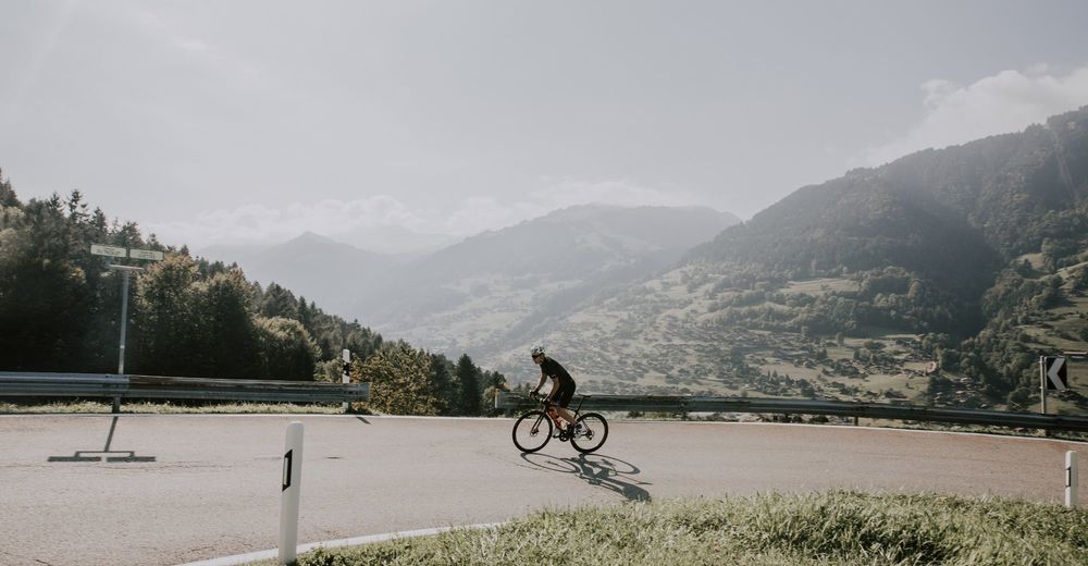
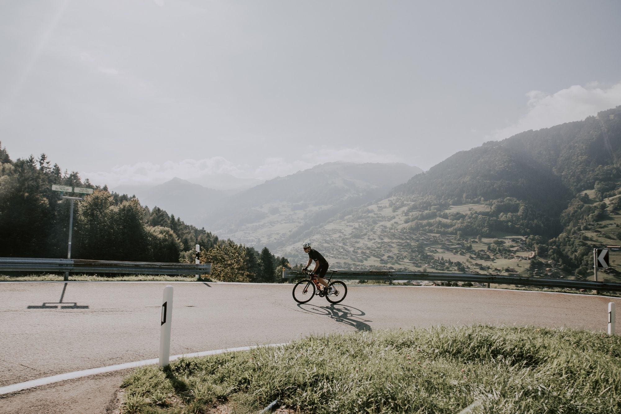
With its views over the impressive Dents du Midi massif, this little-known climb up to the village of Les Giettes is definitely worth tackling. The slope is steep at times, but the panoramic views mean you’ll hardly notice the effort!
- Difficulty
-
medium
- Rating
-
- Starting point
-
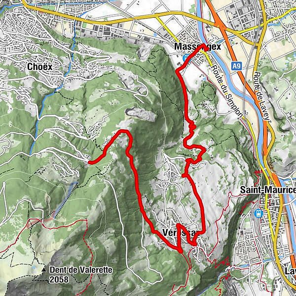
Massongex, bridge over the Rhône
- Route
-
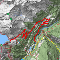
église St-Jean-Baptiste0.0 kmMassongex (408 m)0.3 kmMassongex (399 m)0.5 kmFontany1.5 kmLes Moulins2.3 kmLa Vorpillère2.7 kmVérossaz (811 m)5.7 kmLes Giettes9.7 km
- Best season
-
JanFebMarAprMayJunJulAugSepOctNovDec
- Description
-
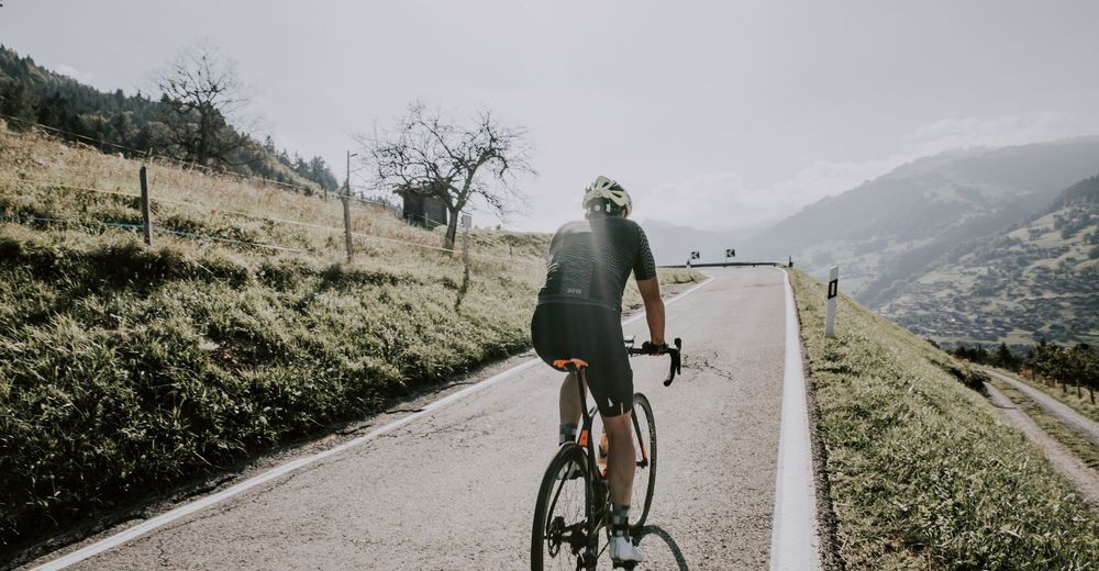
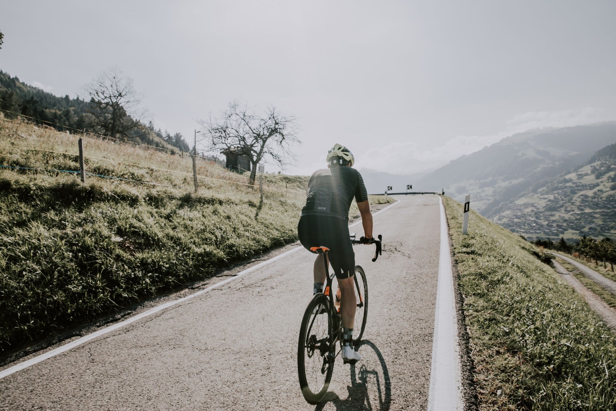
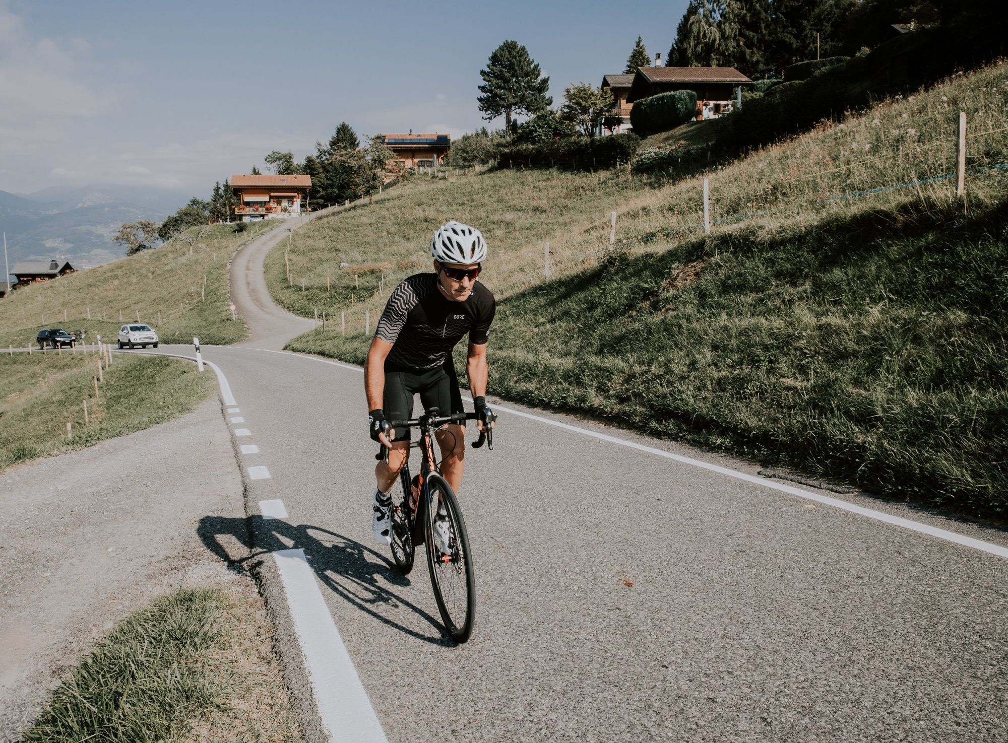
As you leave the banks of the Rhône in Massongex, the route heads towards the Dent de Valerette, then follows the edge of the forest on a level section for several kilometres before reaching the hamlet of Fontany. From there, the road winds through a series of hairpin bends and climbs sharply to quickly pick up altitude again. After passing below the village of Daviaz, the route follows a straighter course alongside meadows, then continues through Vérossaz via two broad turns. The final part of the climb takes place in the shade of the forest, with the gradient remaining tough the bulk of the time. Remember to take an occasional glimpse through the trees at the Chablais valley below. At just over 1,100 metres in altitude, you’ll reach the finishing point of the route in the village of Les Giettes. When you arrive at the fork in the road, you can choose to head back down towards Choëx or turn right to continue climbing for a few more kilometres.
- Directions
-
If you’re arriving from the banks of the Rhône, head to the information signpost on the Valais side of the bridge across the river. Continue across the cantonal road and through the village of Massongex towards the station, where the starting post marks out the beginning of the climb towards Daviaz, Vérossaz and finally the village of Les Giettes some 10.4 kilometres away. There are Valais cycle signs throughout the climb.
- Highest point
- 1,136 m
- Endpoint
-
Les Giettes, municipality of Monthey
- Height profile
-
 © outdooractive.com
 - Equipment
-
We recommend: bike in excellent working order, helmet, gloves and bell, clothing suitable for the weather (always carry a waterproof), food and drink.
- Safety instructions
-
Strictly respect the Swiss traffic rules. Please note that you are running the tour at your own risk and all liability is refused. Please be considerate to plants and animals. For your own safety, wear an helmet every time you ride a bike. Emergency numbers: 144 Ambulance / 117 Police / 1414 Helicopter Rescue (Rega).
- Tips
-
Feel like climbing even higher? The Chalet des Cerniers and the Buvette de Chindonne, two and six kilometres into the route respectively, both offer picturesque terraces and a menu that will have your taste buds tingling.
- Additional information
- Directions
-
Motorway exit 19 to Bex, then head towards Massongex
- Public transportation
-
SBB train station in Massongex, Tonkin line
- Parking
-
Massongex football pitch
- Author
-
The tour Les Giettes – Valais Cycling Tour is used by outdooractive.com provided.


General info
-
Alpes Vaudoises
102
-
Région Dents du Midi
47
-
Massongex
24


")
