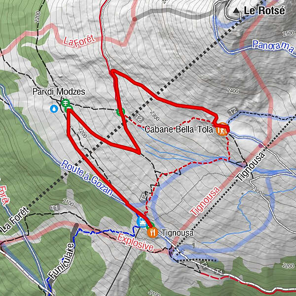
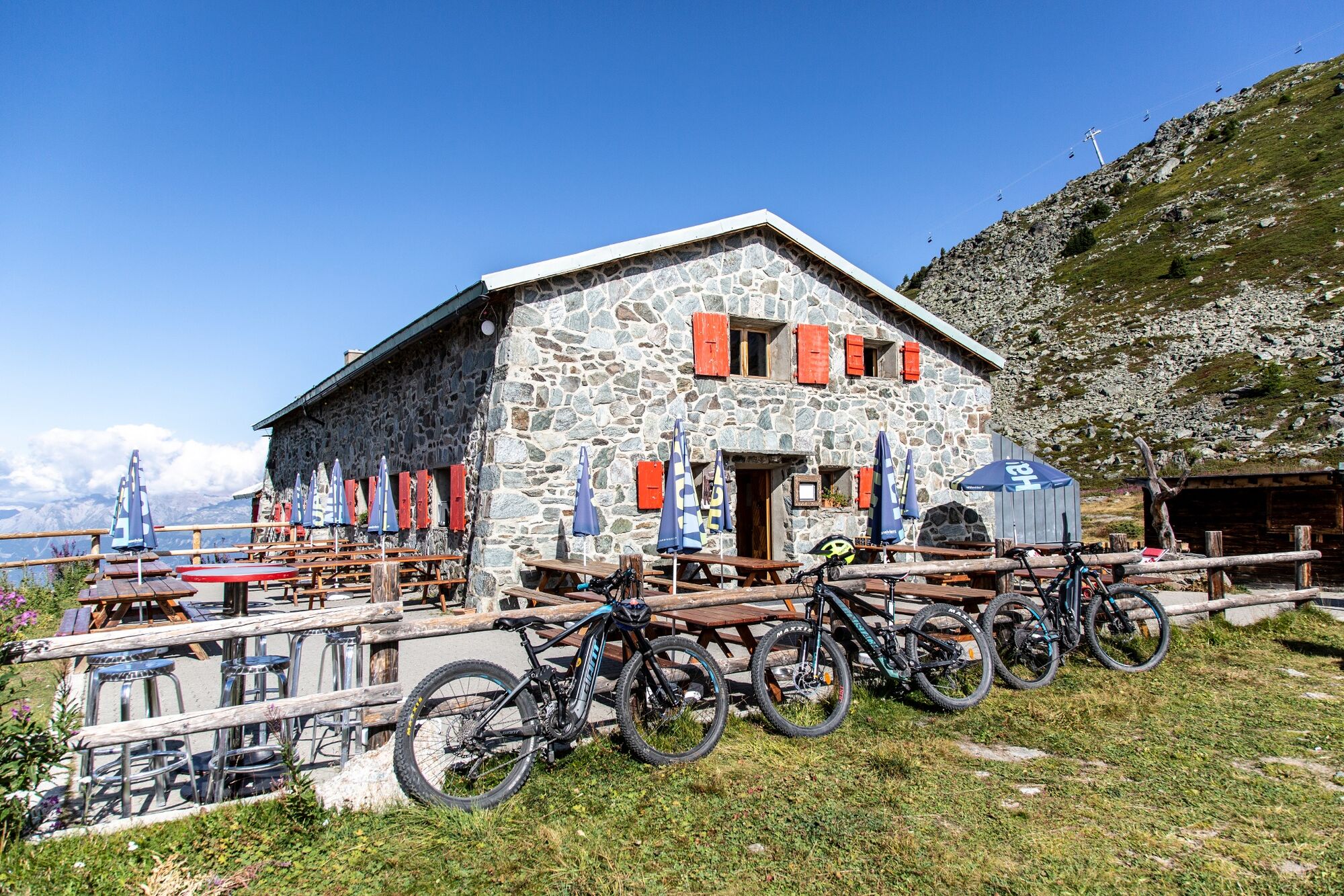
E-bike / Tignousa - Cabane Bella Tola - Tignousa (parcours vert)

Cycling

© Val d'Anniviers - Anniviers Tourisme
- Difficulty
-
easy
- Rating
-
- Route
-
TignousaCabane Bella-Tola (2,346 m)2.0 kmTignousa (2,182 m)4.1 km
- Highest point
- 2,347 m
- Endpoint
-
St-Luc
- Height profile
-
 © outdooractive.com
-

-
AuthorThe tour E-bike / Tignousa - Cabane Bella Tola - Tignousa (parcours vert) is used by outdooractive.com provided.
GPS Downloads


Other tours in the regions
-
Oberwallis
123
-
Sierre Anniviers
46
-
St-Luc / Chandolin
33