


- Brief description
-
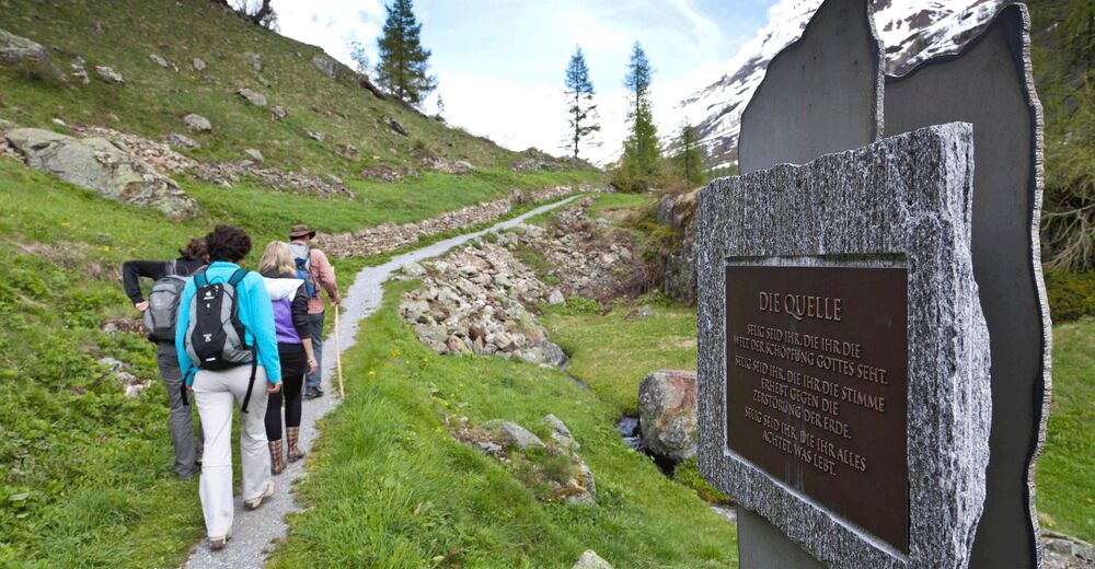
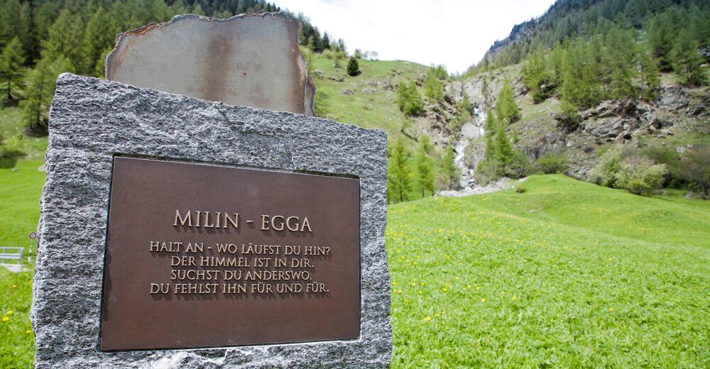
"The rushing of the river - unceasing, troubled. Immersing me into this flow. In the constant rushing, hear the message: we are all one." This is only one message out of the 10 stations situated along the Contemplation Trail from Blatten to Kühmatt. Take your time and enjoy the peace and tranquillity along the route to Kühmatt and be inspired by the messages to pause and reflect.
- Difficulty
-
easy
- Rating
-
- Starting point
-
Blatten, Brücke ("bridge")
- Route
-
Breithorn0.1 kmDorfkirche0.2 kmBlatten (Lötschen)0.3 kmzum fröhliche Jass0.4 kmEdelweiss0.4 kmEisten0.9 kmGeryn1.3 kmKühmad2.4 kmKapelle Mariä Heimsuchung2.5 km
- Best season
-
JanFebMarAprMayJunJulAugSepOctNovDec
- Description
-
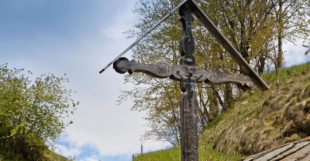
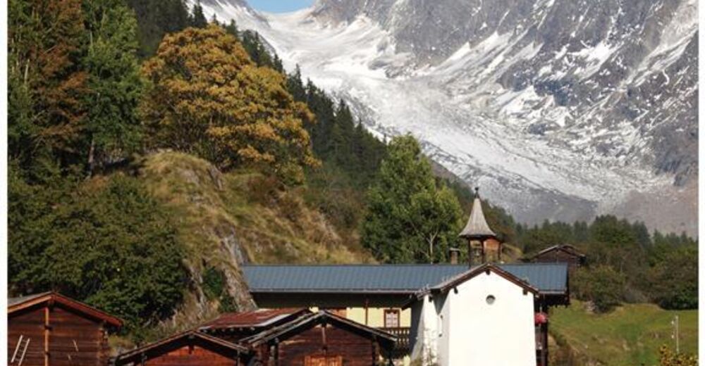
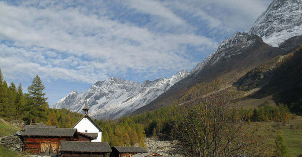
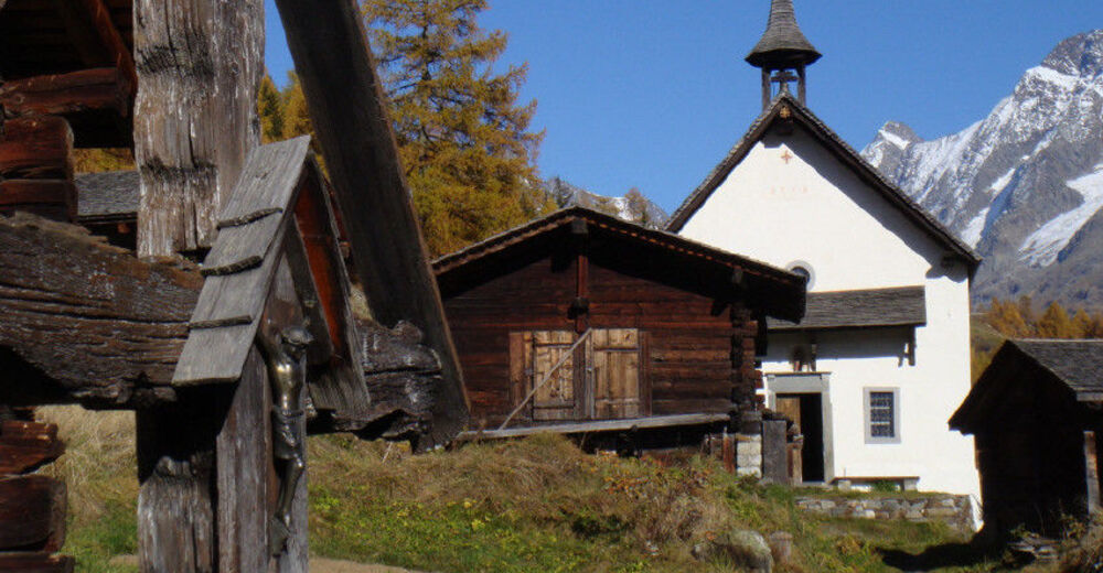
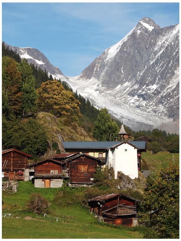
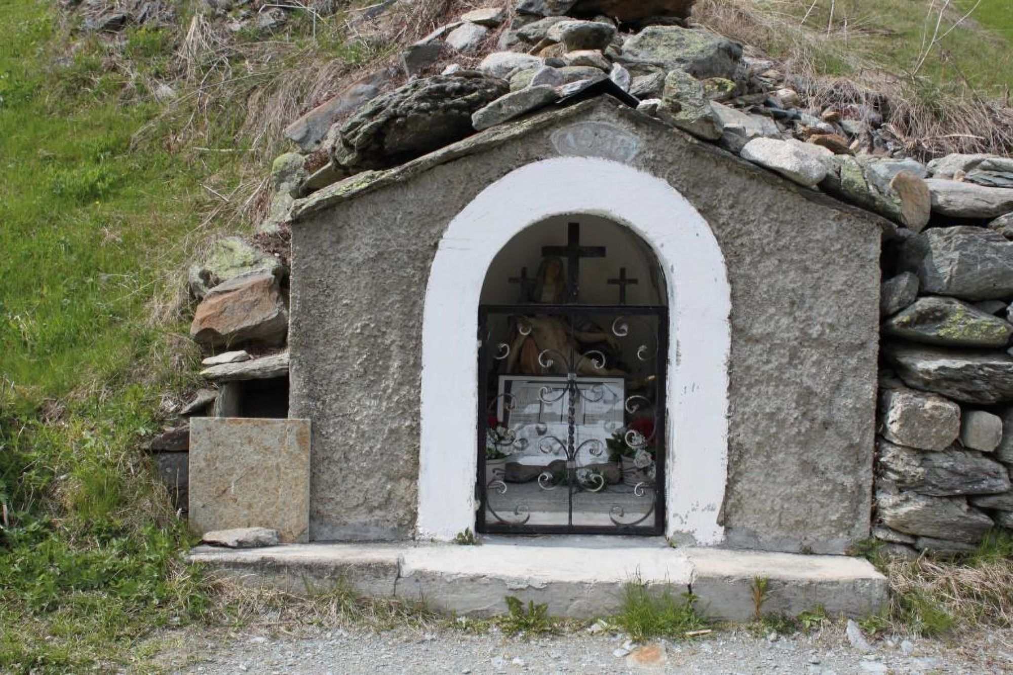
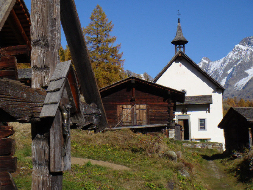
The route starts at the church in Blatten, dedicated in 1985 to Our Lady of the Rosary. Blatten separated from the valley parish church of Kippel in 1898, and following the demolition of the Neo-Gothic church built in 1877, there is now a new contrasting building in the typical style of a Lötschental mountain village. When visitors enter the church, their gaze is guided towards the Rosetta window. A statue of Mary stands beside the altar that could be dated back to the 15th century. Outside again, you now follow the contemplation boards erected along the edge of the path. The Shrine to Saint Rita and the Chapel of Saint Wendelin can be found in Eisten and, following a gentle ascent past fields and barns, we arrive at the "Am Gryn" Shrine, which was constructed in memory of the victims of avalanches. The pilgrimage chapel of Kühmatt can be seen from here. The baroque Chapel of Mariä Heimsuchung (Visitation of Our Lady) in Kühmatt is the destination of regional pilgrimages. Kühmatt, situated at 1,633 metres above sea level, is one of the most impressive places of grace in the valley. The present chapel was constructed under Pastor Bartholomew Indergassen between 1646 and 1663. You can return from Kühmatt every hour using the post bus or on foot.
- Directions
-
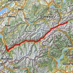
Blatten - Eisten - Kühmatt
- Highest point
- 1,636 m
- Endpoint
-
Kühmatt
- Height profile
-
 © outdooractive.com
 - Safety instructions
-
Plan your tour carefully
Ensure that you have a full set of appropriate equipment
Never embark on a tour alone
Inform friends, relatives, the mountain hut supervisor or the hotel porter of your proposed tour. Report back when you arrive at your destination.
Keep a constant eye on weather developments
Adhere to the principle: if in doubt, turn back! - Tips
-
Order a free copy of the "Walking and Pilgrimages" brochure from the Lötschental Tourist Information Office or online at www.loetschental.ch/prospekte
- Additional information
- Arrival
-
Drive into the Lötschental from Goppenstein, past the villages of Ferden, Kippel and Wiler to Blatten as far as the bridge (next to the Hotel Breithorn).
- Public transportation
-
The postbus runs every hour from Gampel/Steg or Goppenstein to Blatten ("Blatten, Brücke" postbus stop).
- Parking
-
You can park your car in the car park next to the old post office in Blatten (not free).


- Author
-
The tour Contemplation Trail is used by outdooractive.com provided.


General info
-
Oberwallis
1880
-
Lötschental
1068
-
Blatten
134