


- Brief description
-
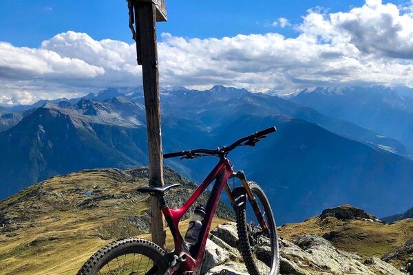
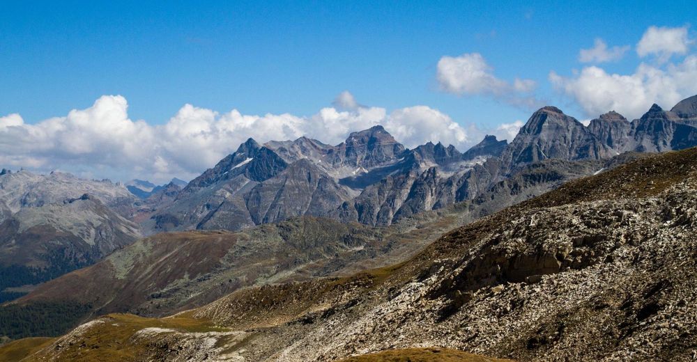
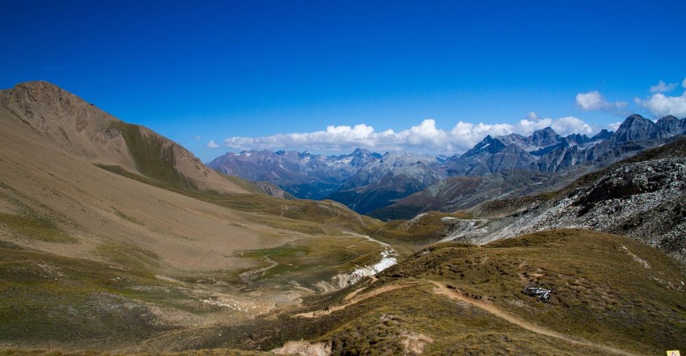
A very nice high alpine tour with amazing scenery suitable for intermediate to advanced riders.
- Difficulty
-
difficult
- Rating
-
- Starting point
-
Binn Dorf
- Route
-
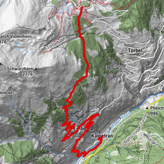
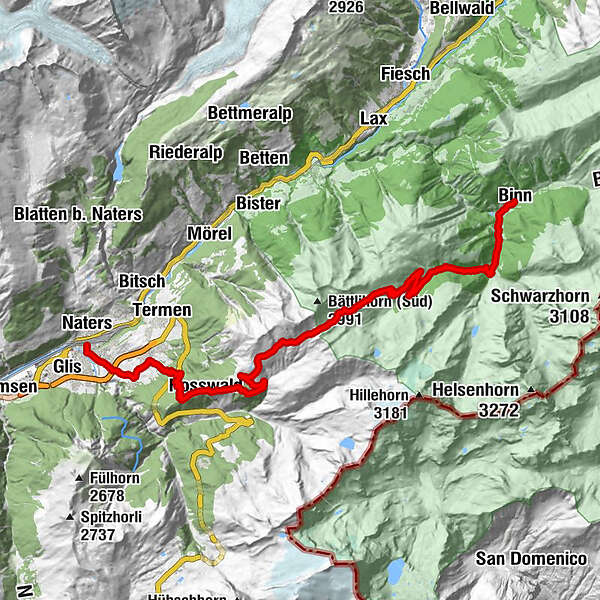
Binn (1,400 m)Zur BrückeSt. Antonius0.0 kmWilere0.3 kmSt. Michael0.3 kmMoss0.4 kmZe Binne0.8 kmHeiligkreuz (1,458 m)2.9 kmHeiligkreuz3.0 kmSickerchäller (1,932 m)6.8 kmSaflischpass14.0 kmStafel19.3 kmRosswald (1,819 m)21.6 kmRosswald (1,821 m)21.8 kmKapelle Glimmuschiir21.8 kmRied-Brig (918 m)29.7 kmBrei30.7 kmLingwurm31.3 kmSebastianskapelle32.9 kmBrig (691 m)32.9 kmNaters (673 m)33.2 km
- Best season
-
JanFebMarAprMayJunJulAugSepOctNovDec
- Description
-
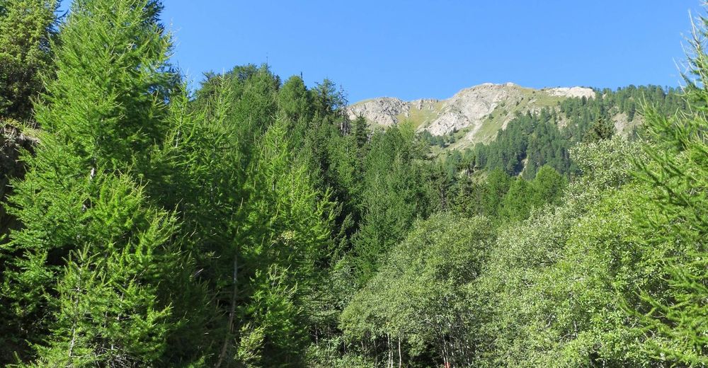
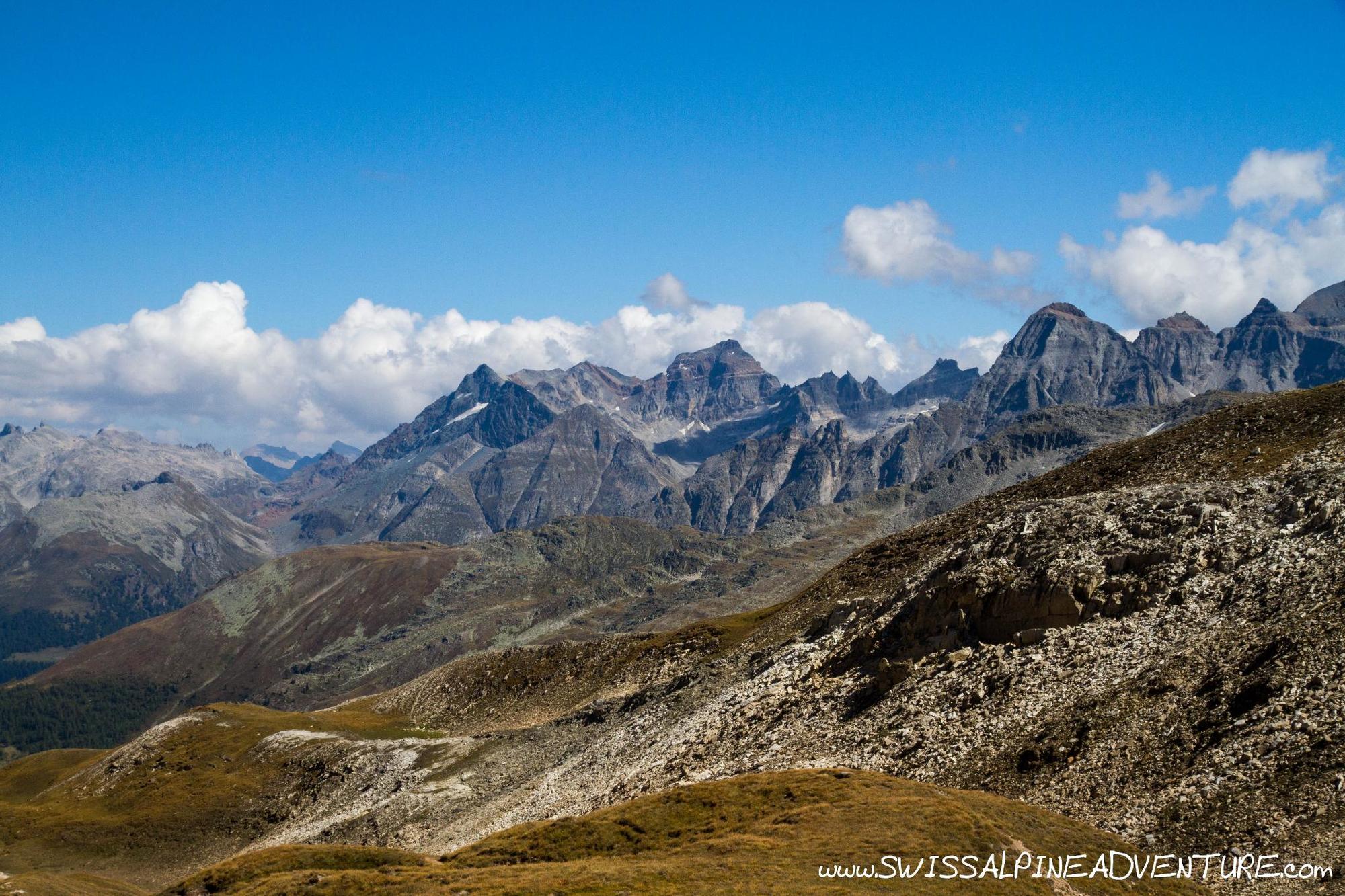
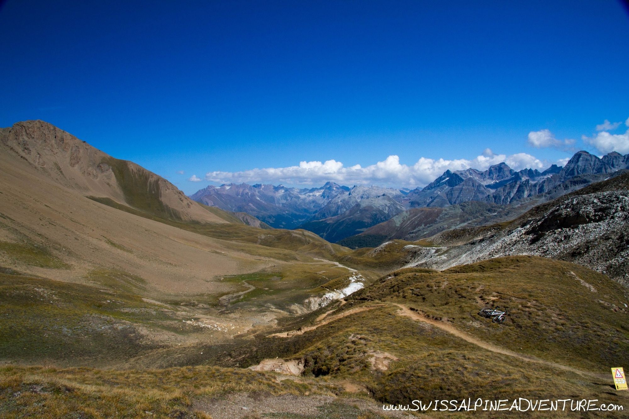
Saflischpass is a beautiful high alpine pass between Fiesch and Brig in the Canton of Wallis. It can be done starting from Fiesch or by taking the Postauto from Fiesch to Binn dorf and riding from there. The option starting from Binn involves about 1200m of on the bike altitude gain while starting from Fiesch involves about 1750m of on the bike gain.
- Directions
-
From Binn Dorf cross the bridge and take a short left and then immediately right along the opposite side of the river. Just below the small church on the hillside there is a single trail which veers left off the paved road you are on, take this single trail and follow it until it rejoins a small paved road. Turn right (downhill) and after about 200m veer left again to start the climb up to the pass.
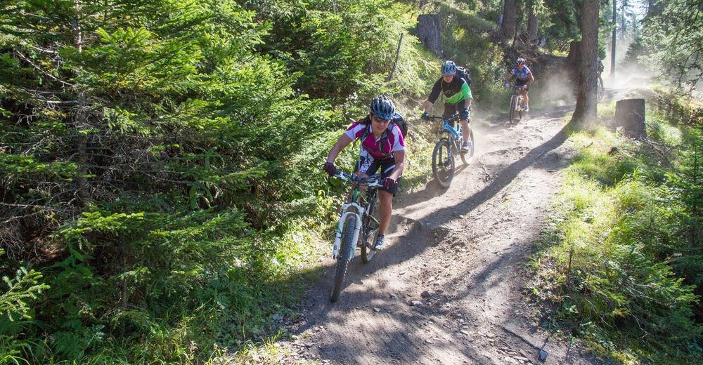
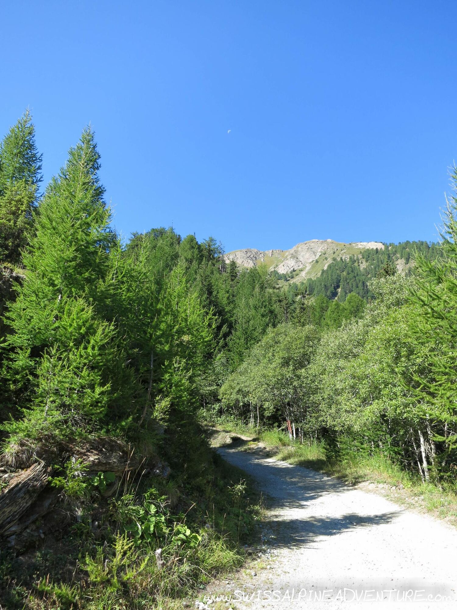
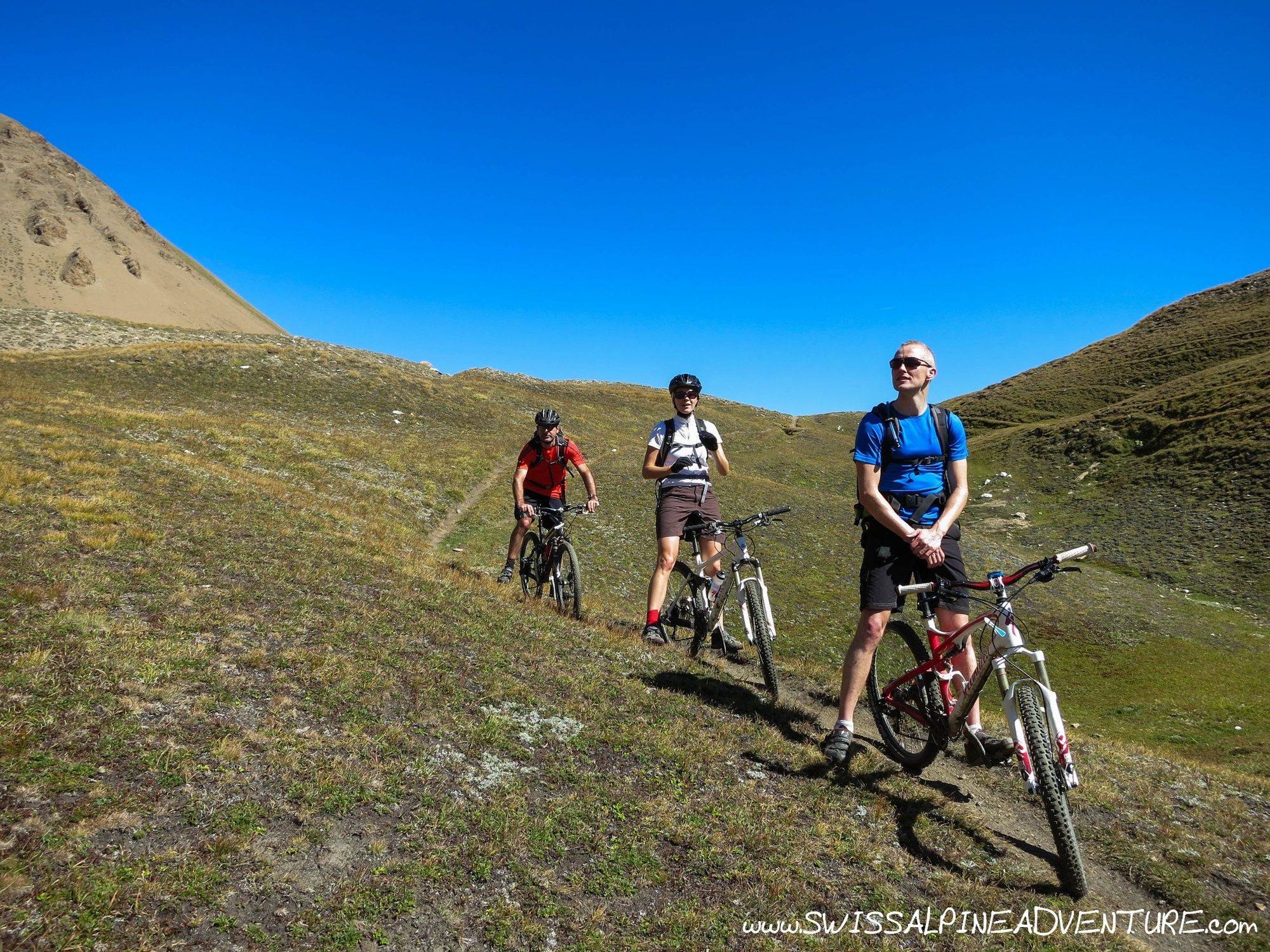
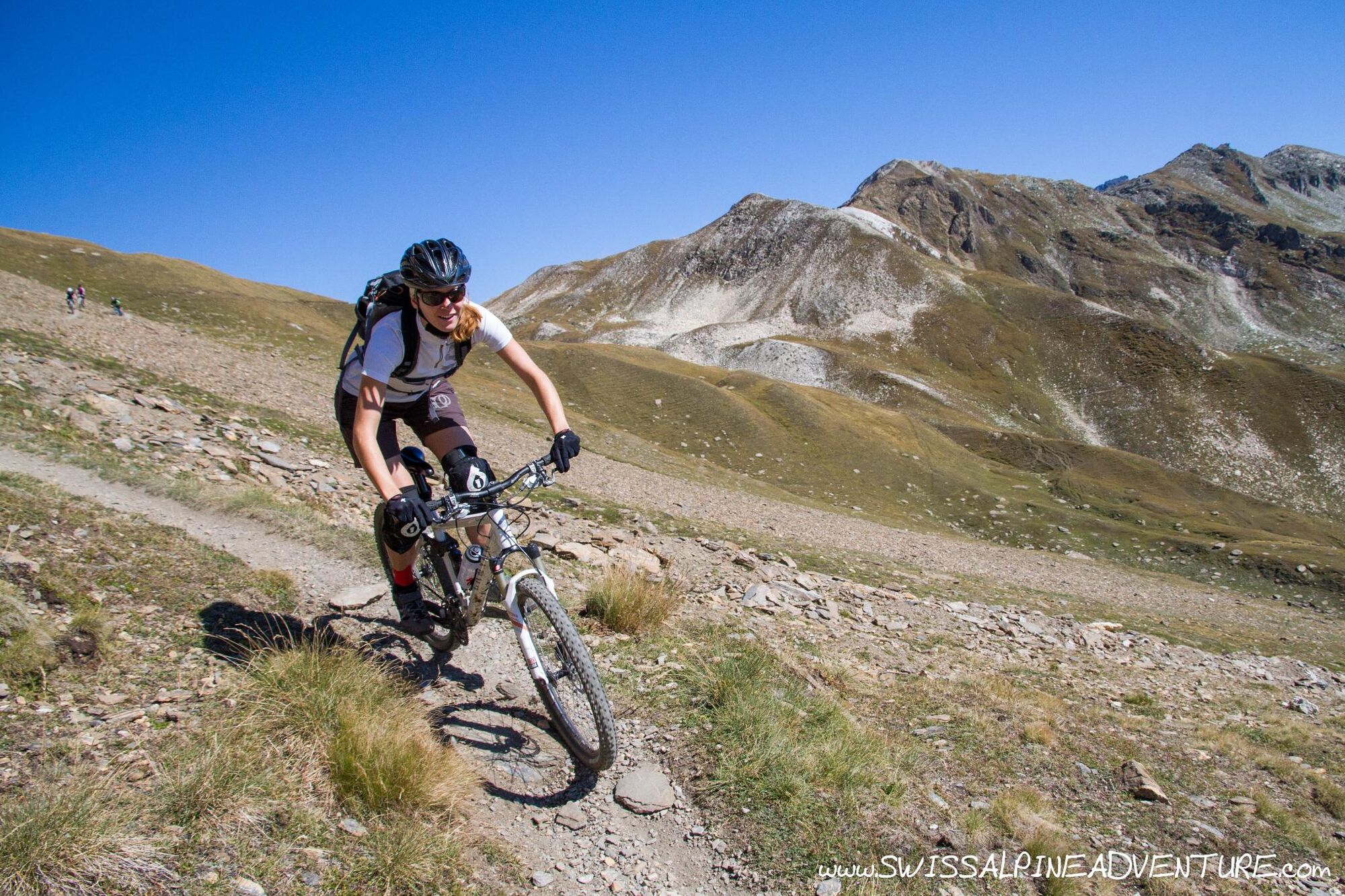
The climb is quite pleasant as far as Alpine climbs go. It starts off heading south towards "Heiligkreuz" and then turns right accross the river, becomes unpaved and then starts to get a bit steeper when climbing from the river valley. The route winds it's way uphill (keep following signs for Saflischpass) on an unpaved road until about 2400m. From here it becomes single trail which is for the most part rideable. The last 180m of altitude gain is entirely on singletrail with a few short sections of hike-a-bike.
From the pass the trail starts to descend WSW towards Rosswald. While there is some element of exposure on the trail it is for the most part not very technical. There are a few short technical sections which less confident bikers may need to walk, but these are short and quickly passed.
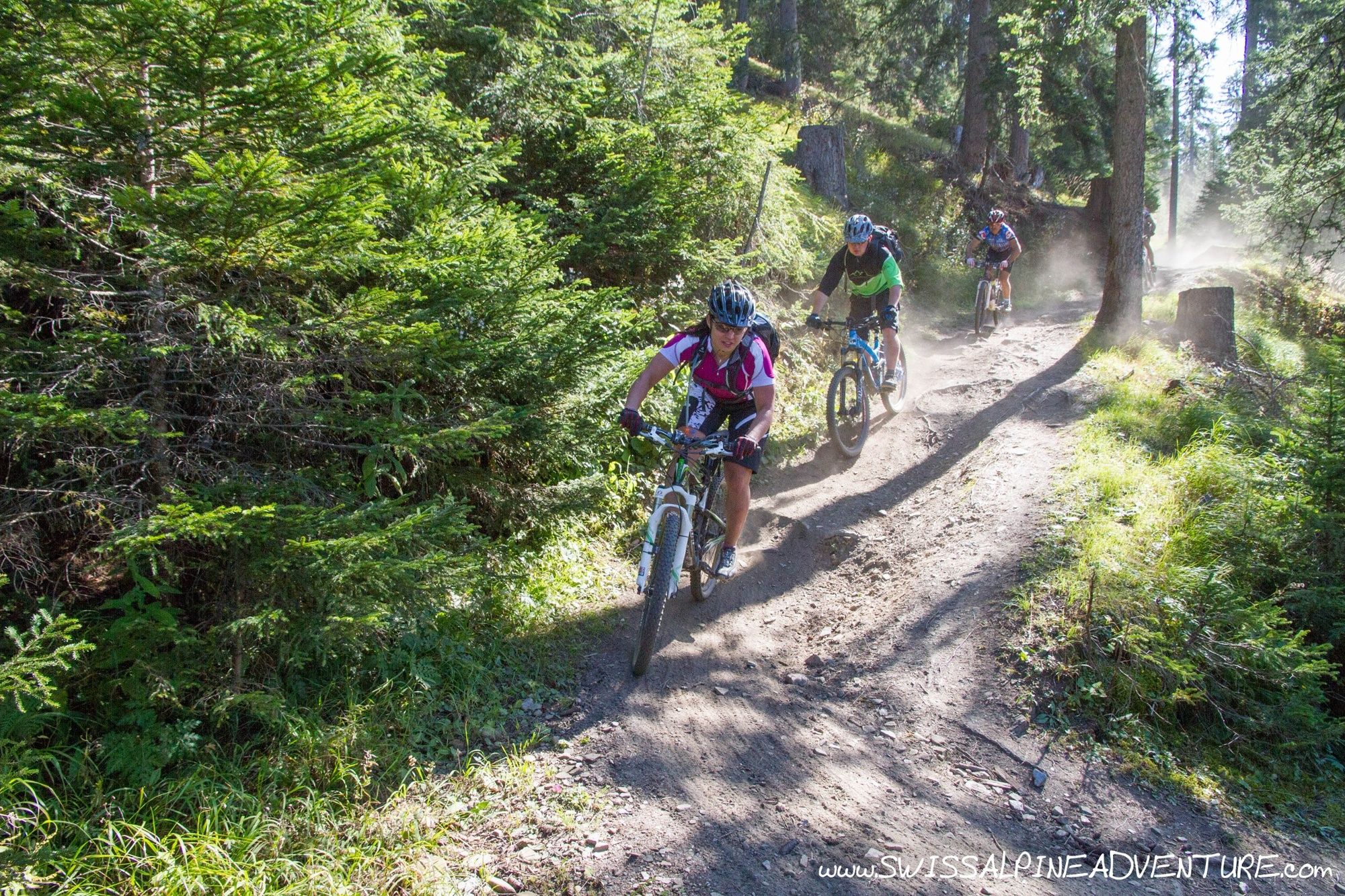
After number of kilometers the trail will join a fire road, veer left on the fireroad and follow it to the top of the Rosswald ski area. Just at the top of one of the ski-lifts there is a singletrail that turns very sharp left off the fireroad. Follow this trail down to a little town called Stafel. Shortly after Stafel there is a Bisse which is now closed to bikers. Please respect this closure as the trail is very dangerous to ride. (there was a fatality there in 2013). Follow the fireroad to Rosswald where you can take the 36er trail (signposted) back down to Brig.
- Highest point
- 2,556 m
- Endpoint
-
Brig
- Height profile
-
 © outdooractive.com
 - Equipment
-
Any good and fully functioning mountain bike is suitable for this tour.
- Safety instructions
-
Avoid the Bisse trail between Stafel and Rosswald. It is very exposed.
- Tips
-
For more of our favourite tours remember to check out www.swissalpineadventure.com - tours.
- Directions
-
If travelling by car it's probably best to park in Brig and take the train to Fiesch to get the bus to Binn. If travelling to Brig you can take either the Car Train through the Lotschberg tunnel if coming from the Bern area or take the Furkapass (or car train through the tunnel) if coming from Luzern/Zurich area.
From Geneva drive straight up the Rhone valley to Brig.
- Public transportation
-
From Fiesch with the Post bus to Bin Dorf. The Post bus has only space for 6 bikes so reservations need to be made in advance.
- Parking
-
There is parking available near the train station in Brig.


-

-
AuthorThe tour Saflischpass is used by outdooractive.com provided.


Surfaces
General info
-
Aletsch Arena
129
-
Brig Simplon
52
-
Rosswald
12