

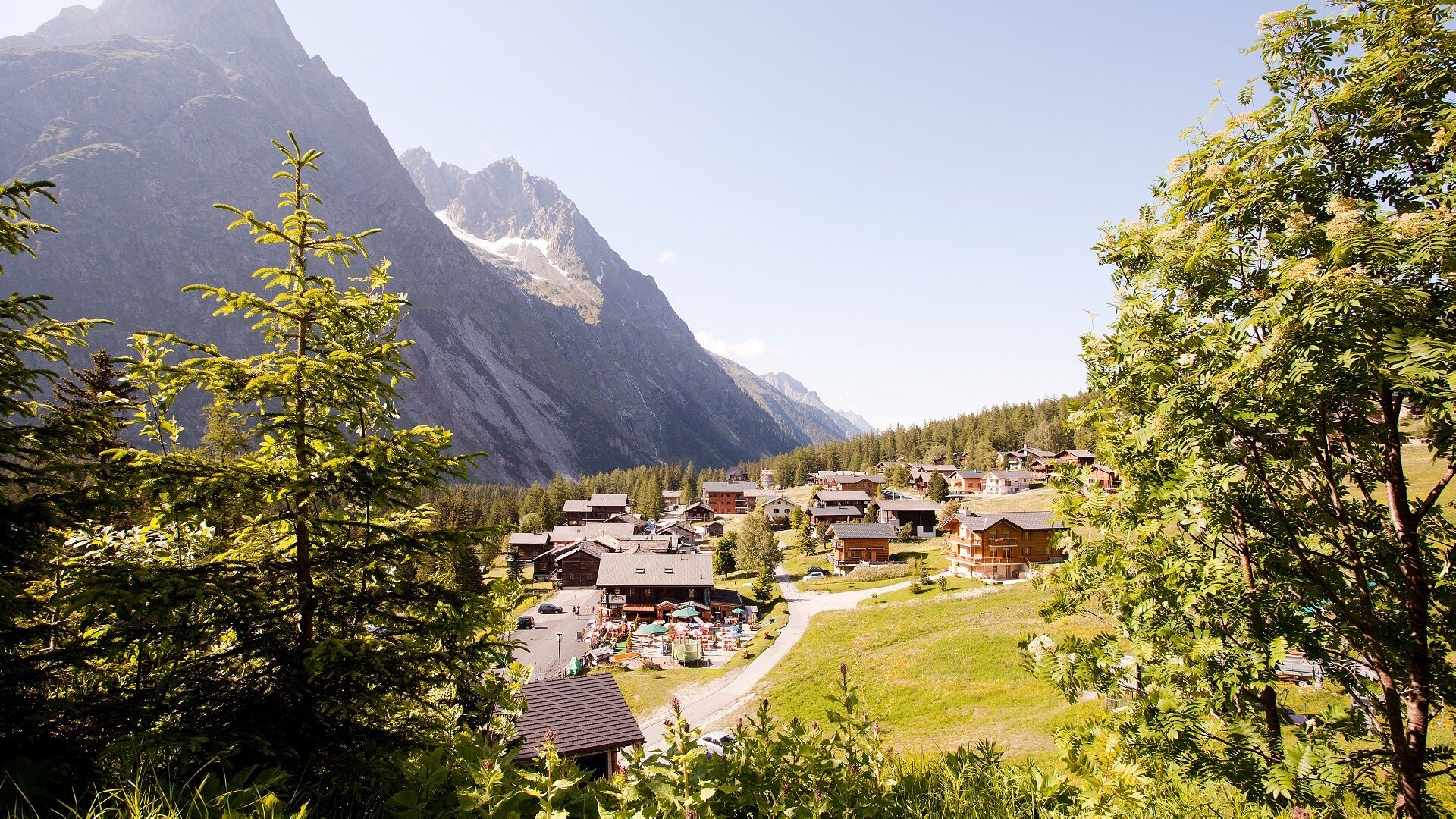
© Pays du St-Bernard - Déborah Droz

- Difficulty
-
easy
- Rating
-
- Route
-
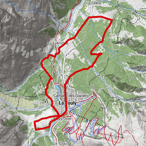
EdelweissLa Fouly0.0 kmAuberge de la Fouly0.0 kmAuberge des Glaciers0.1 kmL'Amône3.1 kmLa Seiloz3.7 kmEdelweiss6.4 kmAuberge de la Fouly6.4 kmLa Fouly6.5 km
- Best season
-
JanFebMarAprMayJunJulAugSepOctNovDec
- Directions
-
Accessible to all, this route climbs in the direction of the A Neuve from La Fouly (1'590m). In the heart of wild nature, continue your walk to the hamlet of La Seiloz. Start a last ascent then cross the torrent of La Fouly before going down to the resort.
- Highest point
- 1,640 m
- Height profile
-
 © outdooractive.com
 - Safety instructions
-
For your safety, we strongly recommend that you wear a helmet.
- Arrival
-
Exit the motorway at Martigny.
Follow the direction Grand-Saint-Bernard then leave the main road at Orsières and follow La Fouly.
- Public transportation
- Parking
-
You can park at the bottom of the slopes, towards the tourist office of La Fouly, free of charge.
- Author
-
The tour Parcours n°192 is used by outdooractive.com provided.
GPS Downloads


General info
Refreshment stop
A lot of view
Other tours in the regions

")


