© Trail Therapy

© Trail Therapy

© Unbekannt - Staldenried - Gspon

© Unbekannt - Staldenried - Gspon

© Unbekannt - Staldenried-Gspon

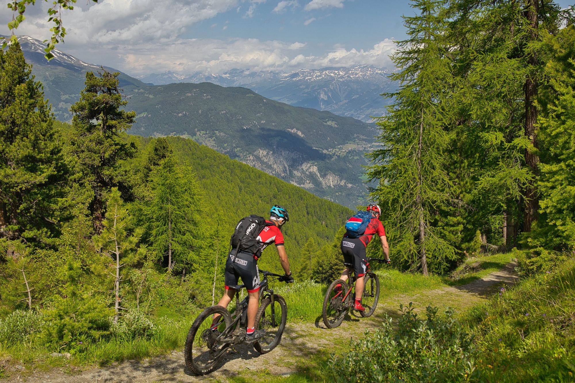
- Brief description
-
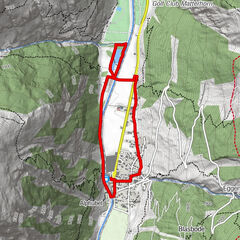
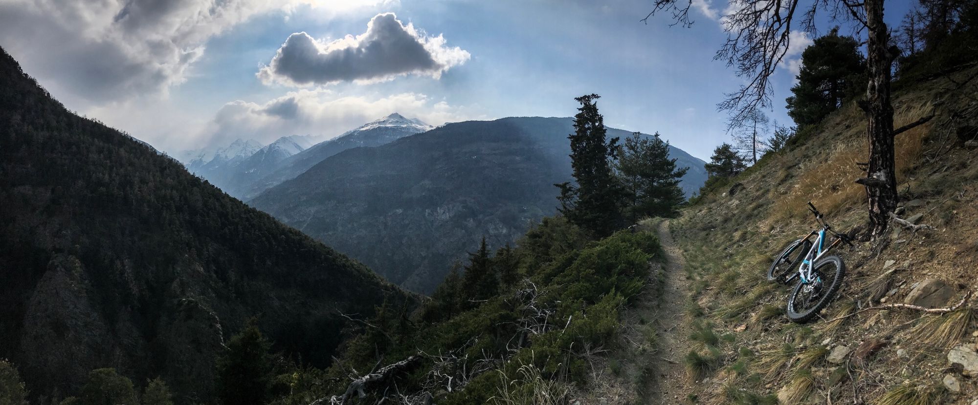
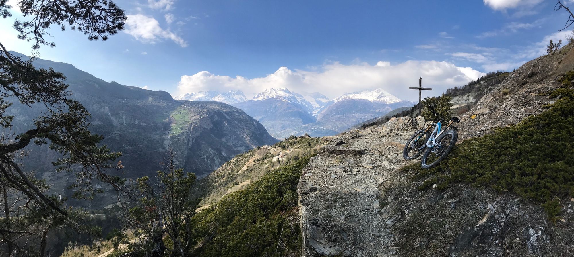
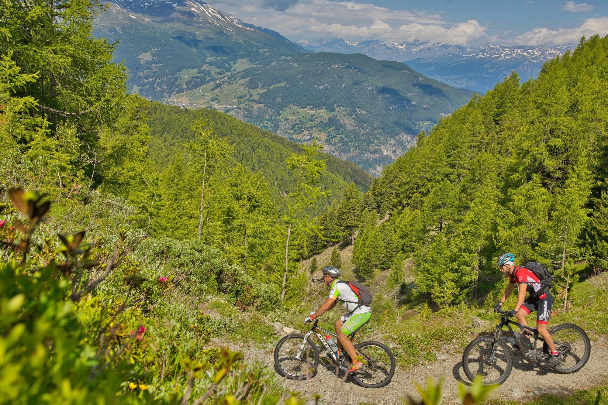
Der Heida Loop ist eine schöne und abwechslungsreiche Allmountain Tour mit flowigen Singletrail Abfahrten.
- Difficulty
-
medium
- Rating
-
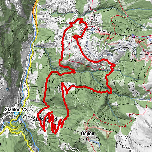
- Route
-
StaldenriedTanneZer TanneBrunnmatte0.7 kmZer Flie2.4 kmRiedji5.3 kmOberbrunnu8.3 kmUnnerbrunnu8.5 kmEgga8.5 kmPfarrkirche St. Theodul11.1 kmRestaurant Heida11.1 kmVisperterminen (1,391 m)11.3 kmNiederhäusern12.2 kmZer Stuedu12.3 kmZe Chalte Stadlu13.2 kmBord17.7 kmDreifaltigkeit17.7 kmRestaurant Riederberg17.7 kmStaldenried Kirche (1,065 m)17.8 kmLochstadel18.1 kmZer Tanne18.6 kmStaldenried18.7 kmBrunnmatte19.4 km
- Best season
-
JanFebMarAprMayJunJulAugSepOctNovDec
- Highest point
- 1,576 m
- Endpoint
-
Staldenried / Neubrück
- Height profile
-
 © outdooractive.com
- Author
-
The tour Heida Loop is used by outdooractive.com provided.
GPS Downloads


Surfaces
Trial
General info
Refreshment stop
Cultural/Historical
Insider tip
Flora
Fauna
A lot of view
Other tours in the regions
-
Oberwallis
213
-
Rund um Visp
95
-
Staldenried - Gspon
21