© Intersoc Belgium - Joris Hollebosch

© Intersoc Belgium - Joris Hollebosch

- Brief description
-
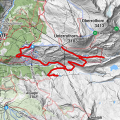
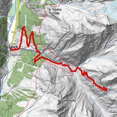
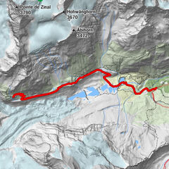
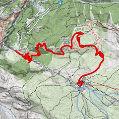
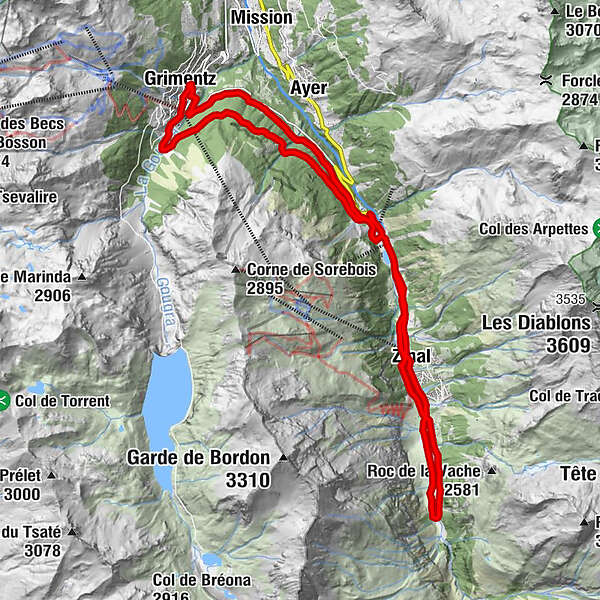
VTT - Grimentz
- Route
-
Zinal (1,675 m)Zinal (1,675 m)6.1 kmLe Bouillet7.0 kmVernec7.6 kmPralong7.7 kmMottec8.4 kmSaint Théodule15.3 kmGrimentz (1,564 m)15.4 kmMottec21.3 kmPralong22.2 kmLe Bouillet22.8 kmZinal (1,663 m)23.3 kmZinal (1,675 m)23.7 km
- Highest point
- 1,772 m
- Height profile
-
 © outdooractive.com


- Author
-
The tour ZIN-MTB - Grimentz is used by outdooractive.com provided.
GPS Downloads


Other tours in the regions
-
Unterwallis
142
-
Sierre Anniviers
116
-
Zinal
19