
- Brief description
-
Tackle a section of the legendary Tour du Mont Blanc by mountain bike: from Champex-Lac to the Grand Col Ferret.
- Difficulty
-
difficult
- Rating
-
- Starting point
-
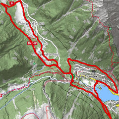
Champex-Lac
- Route
-
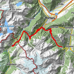
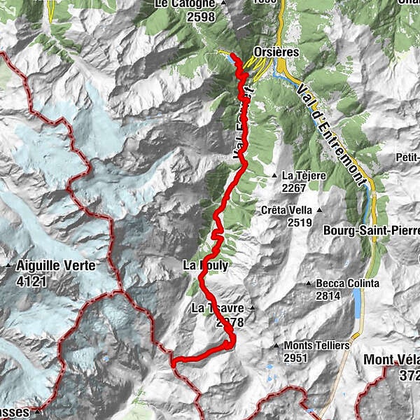
Champex-LacIssert5.6 kmLes Arlaches6.9 kmChapelle de Praz-de-Fort7.6 kmPraz-de-Fort7.6 kmLe Chanton8.2 kmSaleinaz8.4 kmBranche d'en Bas10.8 kmBranche d'en Haut11.4 kmCafé Restaurant du Dolent12.6 kmPrayon12.6 kmLa Verne13.2 kmLa Seiloz13.7 kmEdelweiss16.5 kmAuberge de la Fouly16.6 kmAuberge des Glaciers16.6 kmLa Fouly16.6 kmLe Clou17.5 kmLes Granges18.0 kmHôtel du Col de Fenêtre19.3 kmFerret19.3 kmLa Peule (2,071 m)23.6 km
- Best season
-
JanFebMarAprMayJunJulAugSepOctNovDec
- Description
-
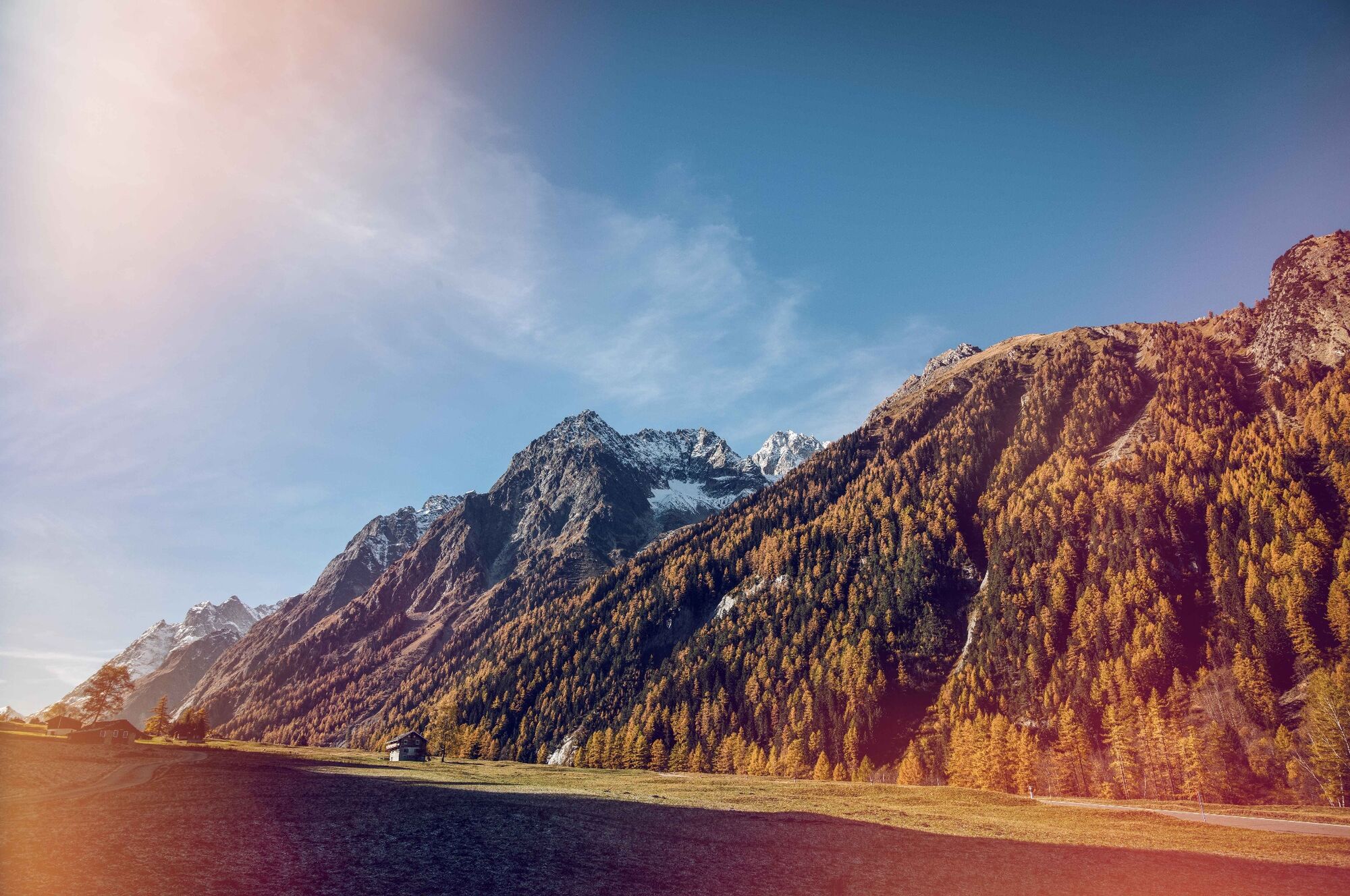
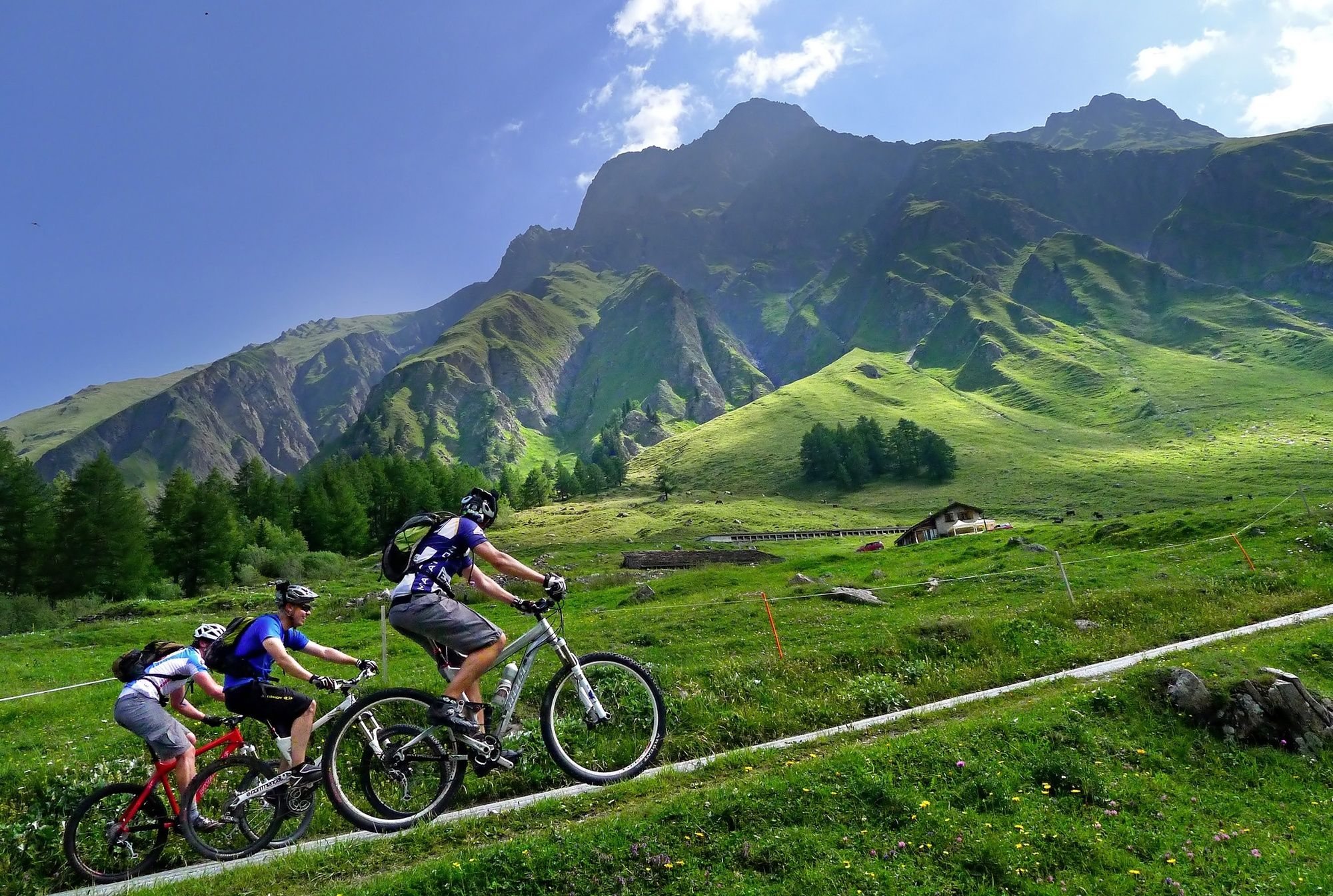
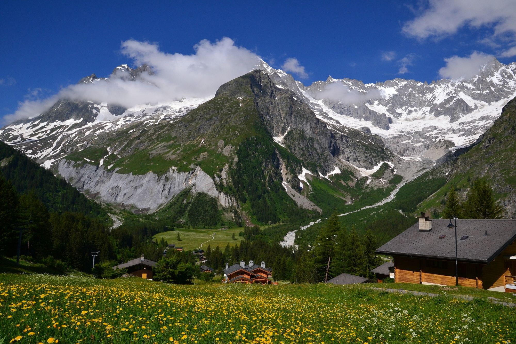
Starting point for the ride is the idyllic village of Champex-Lac, located at an altitude of 1,467 meters. The itinerary takes you all the way to the Italian border, at 2,537 meter, via the villages of Issert, Praz-de-Fort and La Fouly. For a well-deserved break, stop for refreshments at the alpine farmstead of La Peule. From here, continue your climb as far as the Grand Col Ferret on the Italian-Swiss border. Once at the top, you can either continue to Courmayeur in Italy or return by the same route.
- Directions
-
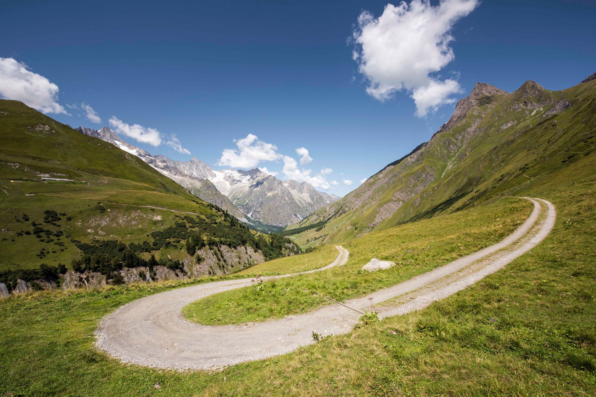
The itinerary begins with a ride through the resort of Champex-Lac via the main road, from which you enjoy fine views of the lake and the Combins massif. Continue downhill towards Orsières, but after passing the first two bends, take the unpaved road to the right which descends all the way to the main road up the Val Ferret. Then, before entering the village of Issert, take a left turn and pass above the village to reach Praz-de-Fort. Cross the Saleinaz plateau beyond and then follow the main road for a distance of 200 metres. Turn off to the left; you will rejoin the main valley road by the hamlet of Branche d’en Bas. At Branche d’en Haut, head across to the other, western, side of the river, and then back again before crossing the main valley road and the hamlet of Prayon to ride through the forest as far as La Fouly. Continue on to Ferret and then Les Ars Dessous. Turn right onto the unpaved road to cross the river and head up to the alpine farmstead of La Peule. Finally, follow the path up to the Grand Col Ferret.
- Highest point
- 2,528 m
- Endpoint
-
Grand Col Ferret
- Height profile
-
 © outdooractive.com
 - Equipment
-
We recommend: a bike in excellent working order, a helmet, gloves and a bell, clothing suitable for the weather (always carry a waterproof), food and drink.
- Safety instructions
-
Use marked bike trails and routes only, making sure you observe all signposting. Kindly close gates after passing through. Please be considerate to walkers, as well as to plants and animals. As a rule, walkers have priority. When planning, take into account participants’ fitness level and ability. All riding is at one’s own risk.
- Tips
-
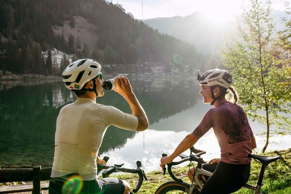
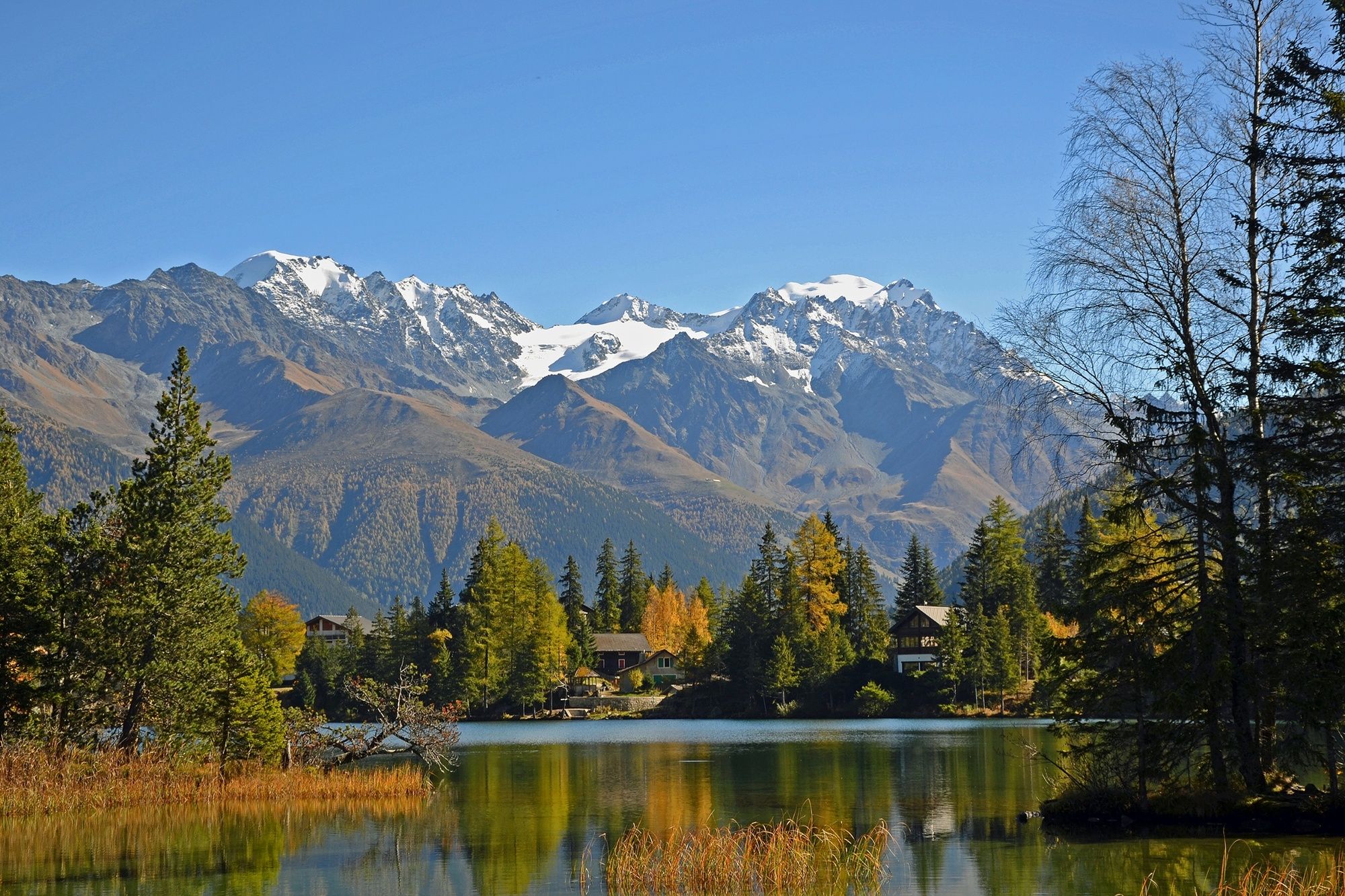
Champex’s lake is a natural gem, offering activities including stand-up paddling, pedalo rides, fishing and walks around its tranquil shores.
- Additional information
- Directions
-
A9 motorway to Martigny (exit 22). Follow signs for the Great St Bernard Pass until Orsières, then turn off to the right for Champex-Lac.
- Public transportation
-
Train to Orsières; then bus (TMR line) to Champex-Lac (or to La Fouly, if following the route in reverse direction).
- Parking
-
Start and finish points for the ride are different, so we recommend you make use of public transport. Free parking is available at the base station of the chairlift in Champex-Lac.

- Author
-
The tour Tour du Mont-Blanc Bike: Champex - Grand Col Ferret is used by outdooractive.com provided.