
- Brief description
-
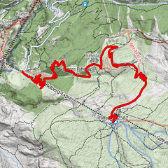
From Blauherd station, the route goes down to the four mountain lakes: Stellisee, Grindjisee, Grünsee and Moosjisee. Each of the four lakes has something special about it.
- Difficulty
-
easy
- Rating
-
- Starting point
-
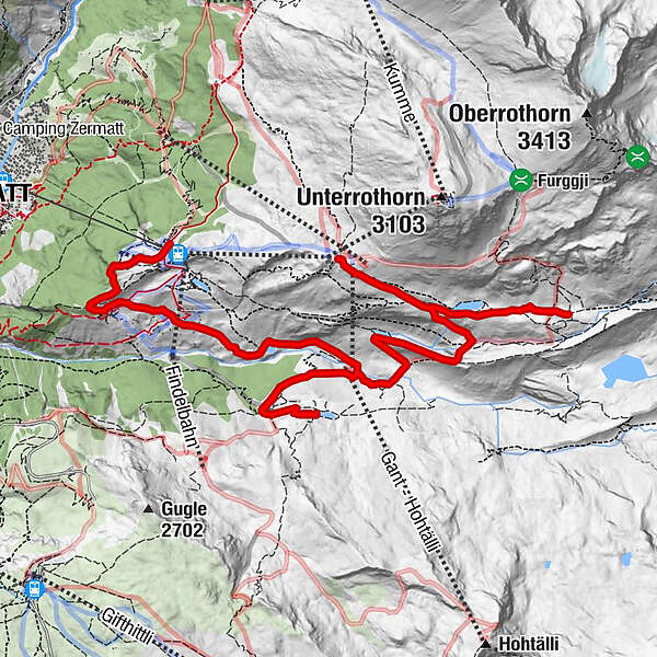
Blauherd (2,571 m)
- Route
-
Blue Lounge0.0 kmBlauherd0.0 kmFlue2.0 kmFluhalp2.0 kmMountain Lodge Ze Seewjinu7.5 kmGant (2,230 m)8.4 kmEggen (2,177 m)10.0 kmFindeln10.4 km
- Best season
-
JanFebMarAprMayJunJulAugSepOctNovDec
- Description
-
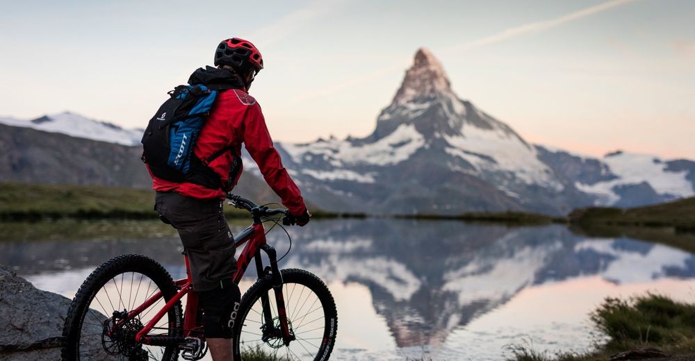
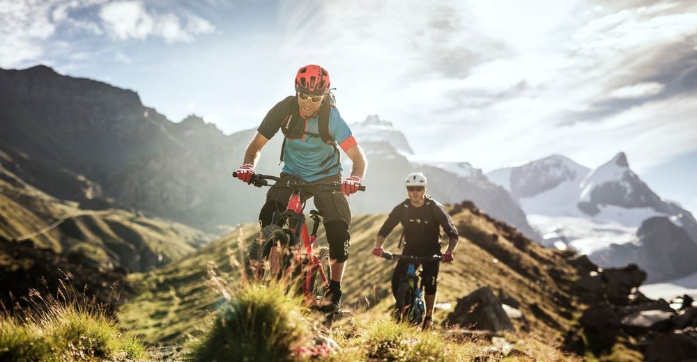
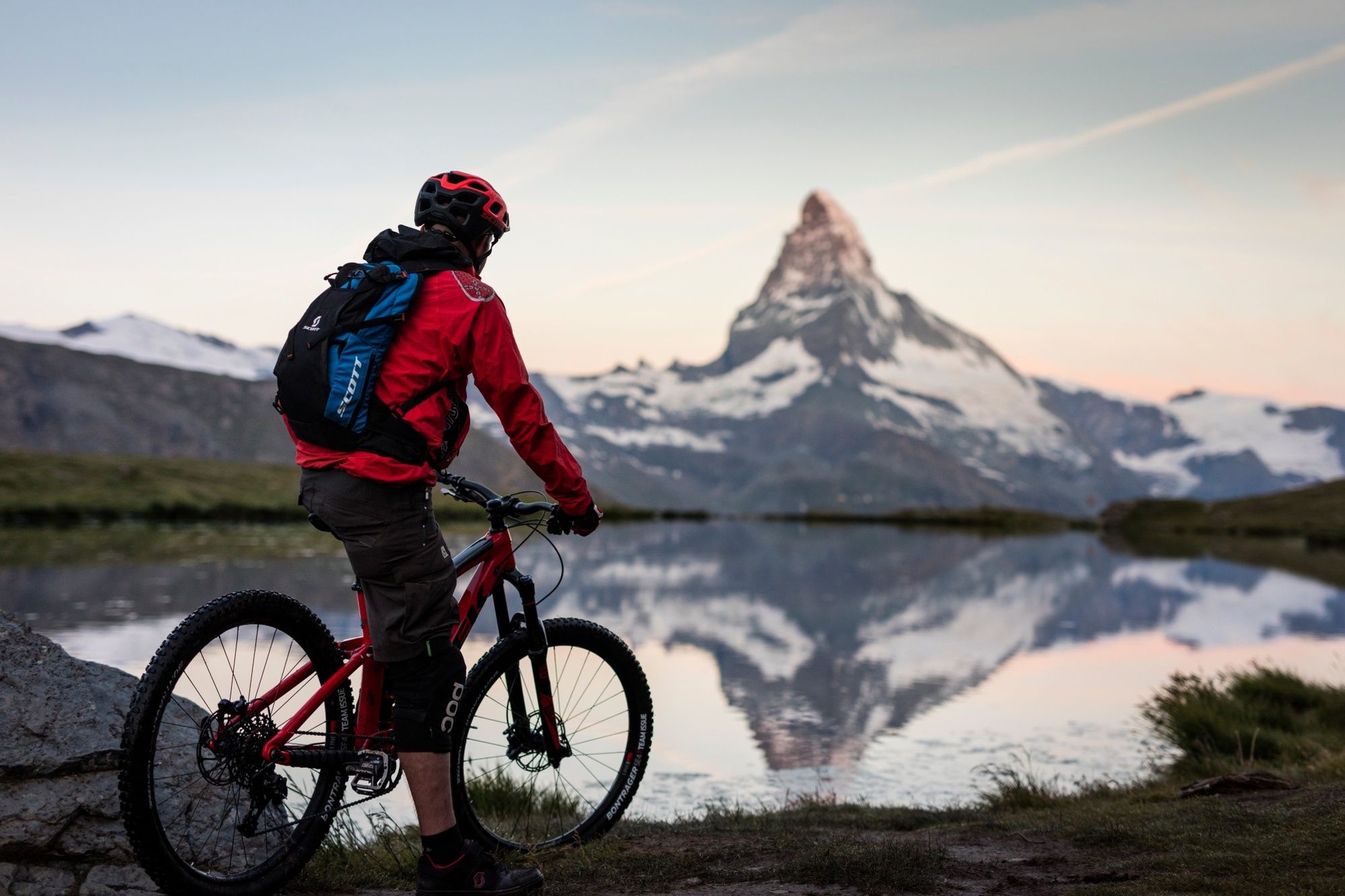
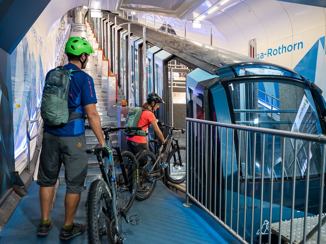
The cable cars take you up to Blauherd. The stunning Four Lakes route (4-Seen-Tour) starts from here. After a brief descent, the route heads left to the first lake – Stellisee. Here you can see a stunning reflection of the Matterhorn in the lake.
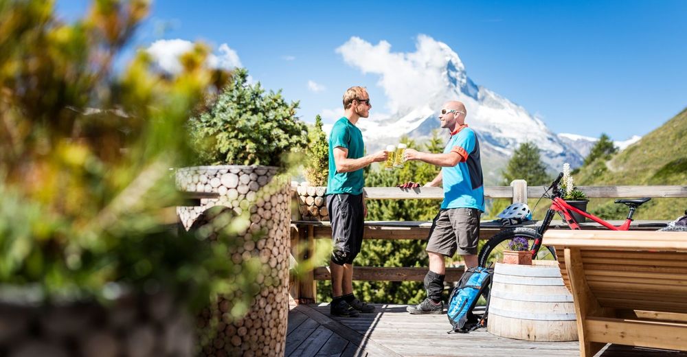
If you now fancy a coffee, head up to Fluhalp and enjoy the view from the terrace of the surrounding mountains.
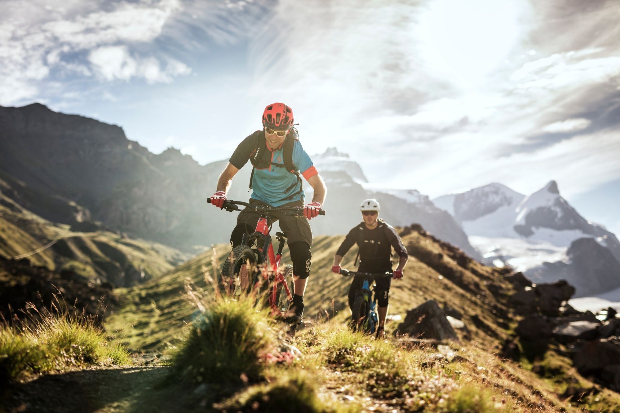
The route continues down to Grindjisee and Grünsee. In Grünsee, you can see a reflection of not only the Matterhorn, but other magnificent mountains as well.
The last lake you reach is Moosjisee. It is a very different colour from the other three lakes. Moosjisee is a typical glacier lake, and this gives it its cloudy appearance. From there, the route heads back to Sunnegga.
- Directions
-
Blauherd – Lake Stellisee - Fluhalp - Lake Grindjisee - Grünsee - Gant - Lake Moosjisee - Findeln - Sunnegga
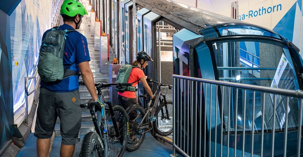
Option: Take the gondula from Blauherd up to the Rothorn and start the tour from there.
- Highest point
- 2,614 m
- Endpoint
-
Sunnegga (2,288 m)
- Height profile
-
 © outdooractive.com
 - Equipment
-
We recommend:
Bike in excellent working order Helmet, gloves and (trail) bell Repair kit in case of any defects Clothing suitable for the weather (always carry a waterproof) Food and drink - Safety instructions
-
Always wear gloves and a helmet. Use marked bike trails and routes only, and observe all signposting. Please close gates after passing through. Please be considerate to walkers and to plants and animals. As a rule, walkers have priority. When planning, take into account participants’ fitness level and ability: some routes lead above 3,000 metres. All riding is at one’s own risk.
Tip: “Be searchable”. Equip yourself with an additional RECCO rescue reflector*. Whether summer or winter. Available in our Online-Shop or our information desk. *The additional reflector does not replace an avalanche beacon.
- Tips
-
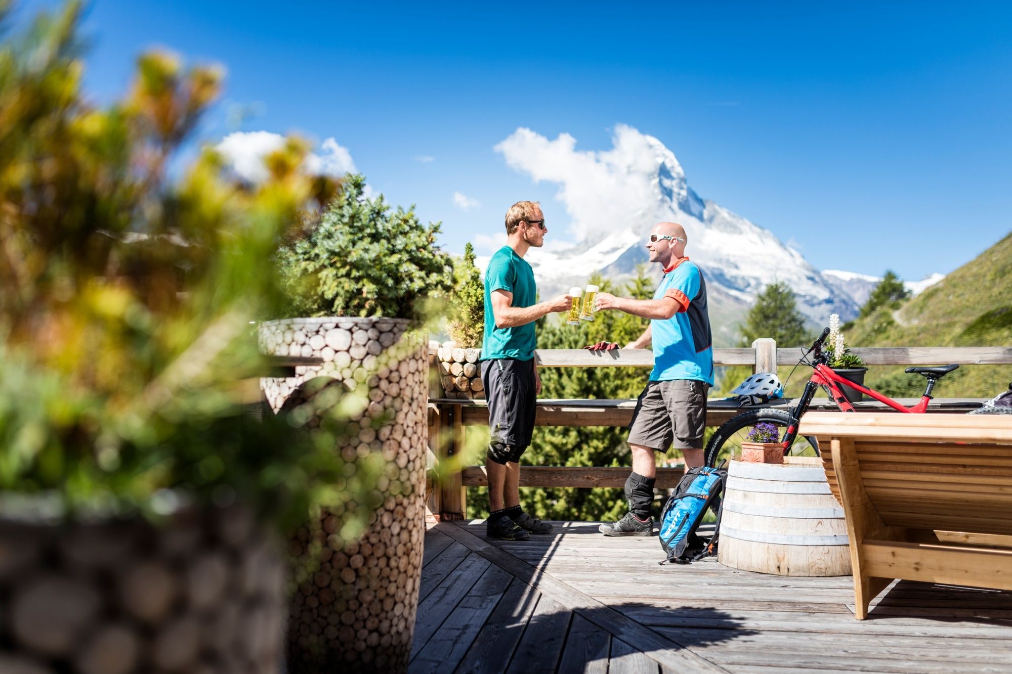
After a few flowing downhill kilometres, you reach Findeln, where you can once again replace some of those calories you burned in one of the different mountain restaurants. This is just one of many culinary highlights.
- Additional information
- Directions
-
Zermatt is car-free. Private vehicles are permitted only as far as Täsch (5 km before Zermatt). The Täsch–Zermatt road is closed to the public.
Onward travel to Zermatt is either by private taxi or shuttle train. Trains depart every 20 minutes; the journey takes about 12 minutes, and ends at the Bahnhofplatz in Zermatt.
- Public transportation
-
By train to the Matterhorn village: 3½ hours from Zürich airport or 4 hours from Geneva airport. Change at Visp onto the Matterhorn Gotthard Bahn (Matterhorn Gotthard Railway). From Visp, the railway leads through the Mattertal valley past idyllic small villages to Zermatt.
Zermatt is also the start and finish point for the world-famous Glacier Express panoramic train journey (Zermatt to St. Moritz or Davos).
- Parking
-
Täsch has car parks with both covered and open-air parking – e.g. at the Matterhorn Terminal or privately operated facilities.$
Onward travel: see “Getting there”.
- Author
-
The tour 4 Lakes Bike Tour (Nr. 29) is used by outdooractive.com provided.


General info
-
Oberwallis
211
-
Mattertal
62
-
Zermatt
35