- Brief description
-
Who still knows it from childhood, when you were out walking in the forest and suddenly came across various pieces of equipment? Exactly, the Vitaparcours.
- Difficulty
-
medium
- Rating
-
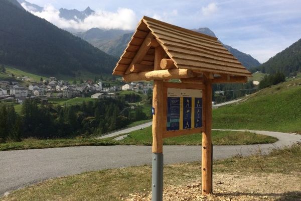
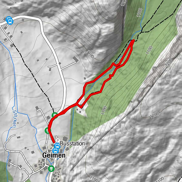
- Starting point
-
Geimen
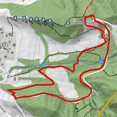
- Route
-
Geimen
- Best season
-
JanFebMarAprMayJunJulAugSepOctNovDec
- Description
-
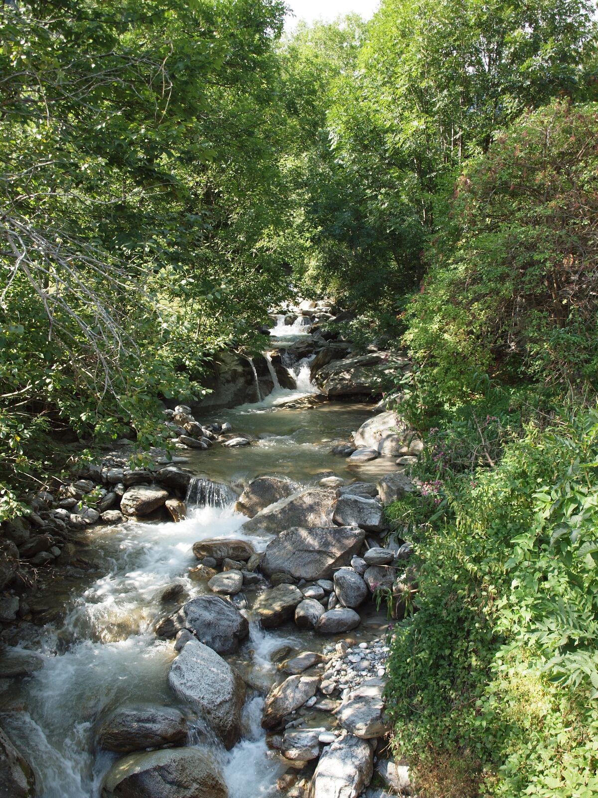
Promoting health, developing the family and nature experience, and strengthening mass sports - the Zurich Vitaparcours can also be found in the forest of Geimen towards Blindtal. All sports enthusiasts can complete fifteen stations, each with a selection from a total of 43 exercises, on a laid-out route through the forest.
Length of route
With a length of three kilometres, the Vitaparcours runs through the forest from Geimen to Blindtälli and has a total gradient of 130 metres. The number of kilometres is 4.3 kilometres.
- Directions
-
The Vitaparcours starts in Blindtal. You can reach it from Geimen by following the signs in the direction of Blindtal.
- Highest point
- 1,078 m
- Endpoint
-
Geimen
- Height profile
-
 © outdooractive.com
 - Equipment
-
Sturdy shoes, clothing suitable for the weather, sun and rain protection, as well as sufficient supplies of food and drinks, should there be no refreshment stops or shopping facilities available or open. Although the trail is very well marked throughout, you should always have a suitable hiking map with you for safety reasons. Take sticks or other aids with you.
- Safety instructions
-
Despite the "impossible to miss" marking of the hiking trails, we recommend for safety reasons to always have an appropriate hiking map with you, so that you can quickly find your way to a safe area in case of a thunderstorm or emergency, for example.
Especially in autumn, you should also be aware that leaves lying on the ground can hide bumps, roots, stones or holes in the path. After storms, trees can still fall over or branches can fall down. Especially in adverse weather conditions, muddy and slippery passages can occur on natural paths. You have to expect this kind of path impairment when you go on a hike.
Not all rocks or precipices are secured with ropes or railings. In some cases surefootedness is required. If you are of the opinion that certain sections of the trail are not passable for you, you should avoid them.
- Tips
-
Enjoy a short break in the power place Blindtal and recharge your batteries for the way back.
- Additional information
- Directions
-
Arrival by car
From western Switzerland: A9 Lausanne - Vevey, or north-western Switzerland: A12 Bern - Vevey: A9 - Sierre: main road Sierre - Brig
From north-western Switzerland: A6 Berne - Thun - Spiez: main road Spiez - Kandersteg (Lötschberg tunnel car transport) - Goppenstein - Gampel - Brig
From eastern and central Switzerland: Andermatt - Realp (year-round Furka car transport; in summer via Furka Pass) - Oberwald - Brig
From Ticino (in summer): Airolo - Nufenenpass - Ulrichen - Brig
Or via Centovalli - Domodossola - Simplonpass - Brig
From Italy (Aosta, Mt. Blanc Tunnel): Aosta - Grand Saint Bernard tunnel (over the pass in summer) - Martigny: A9 motorway - Sierre: Sierre - Brig main road.
Or via Domodossola - Simplon Pass - Brig
Geimen / Blatten bei Naters
From Brig you can reach Geimen via Naters.
- Public transportation
-
Geimen can be reached by public transport from Brig or Naters.
- Parking
-
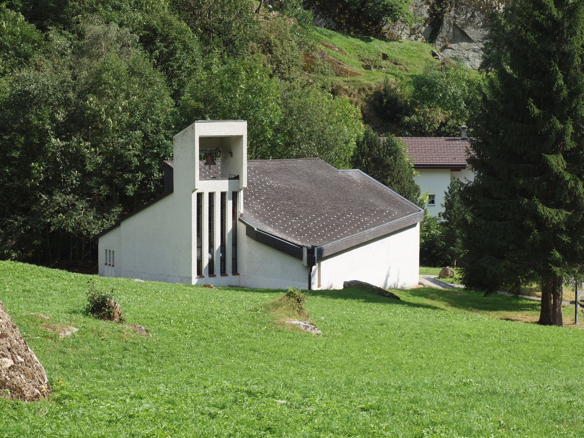
In Geimen there is parking in the square by the chapel.
-

-
AuthorThe tour Vitaparcours Blindtal is used by outdooractive.com provided.