Tour data
15.51km
2,489
- 4,199m
1,494hm
1,713hm
11:06h
- Difficulty
-
medium
- Rating
-
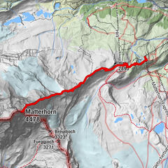
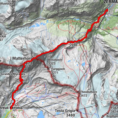
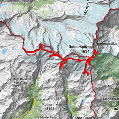
- Route
-
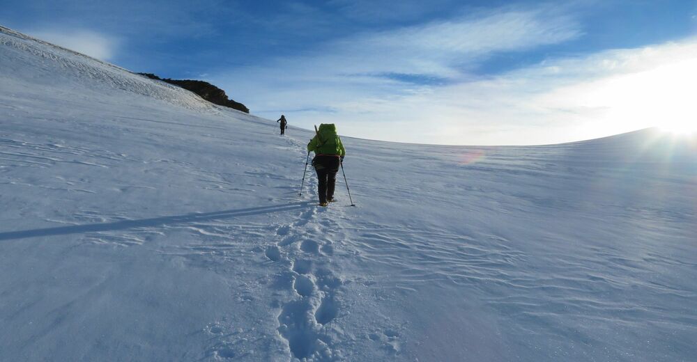
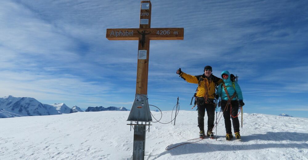
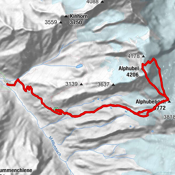
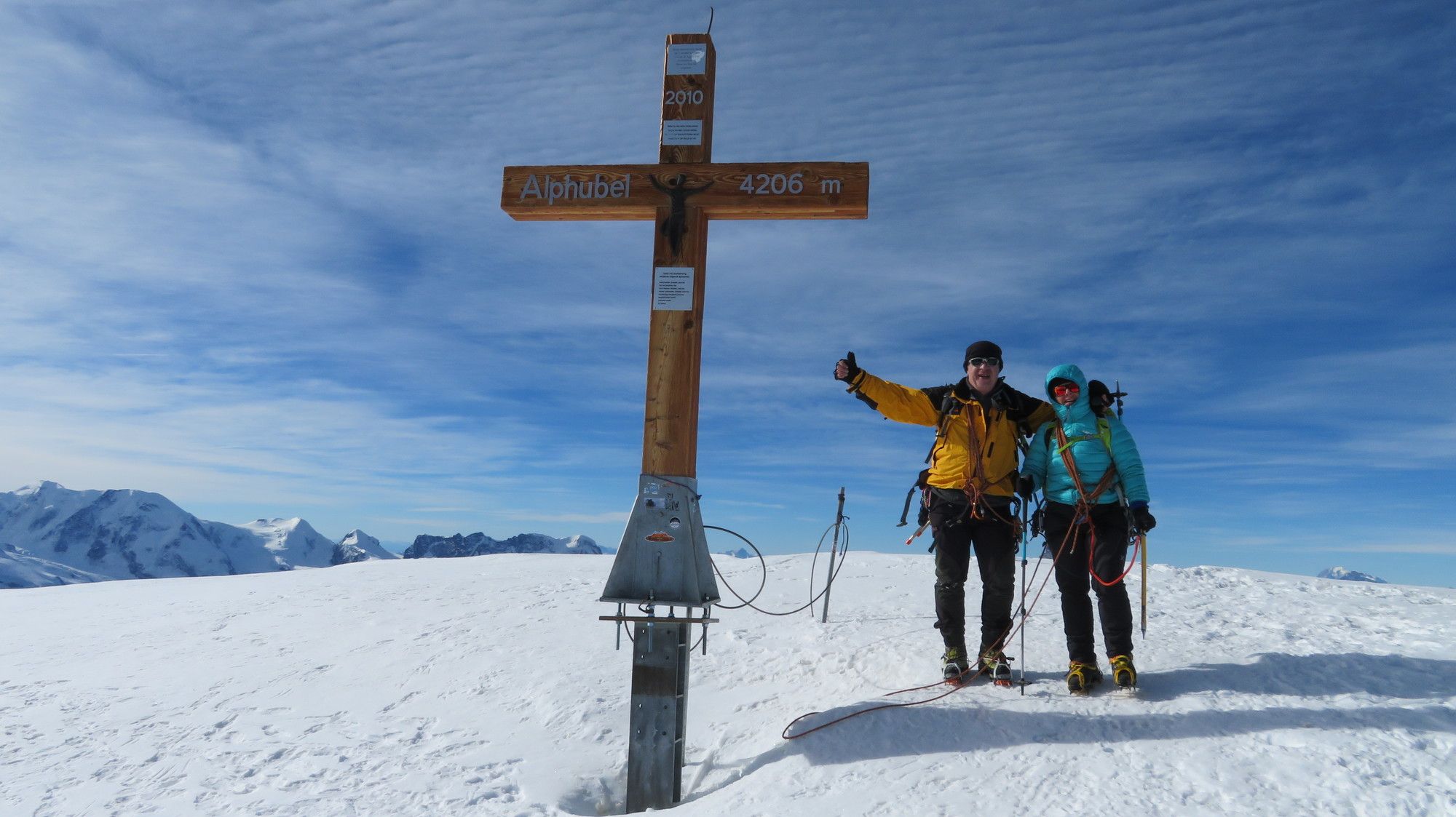
Täschhütte (2,701 m)0.0 kmAlphubeljoch (3,772 m)4.3 kmAlphubel (4,206 m)5.8 kmAlphubeljoch (3,772 m)8.0 kmTäschhütte (2,701 m)12.2 kmOttafe (2,205 m)15.5 km
- Highest point
- 4,199 m


GPS Downloads


Other tours in the regions
-
Oberwallis
40
-
Mattertal
25
-
Täsch
17