
- Difficulty
-
medium
- Rating
-
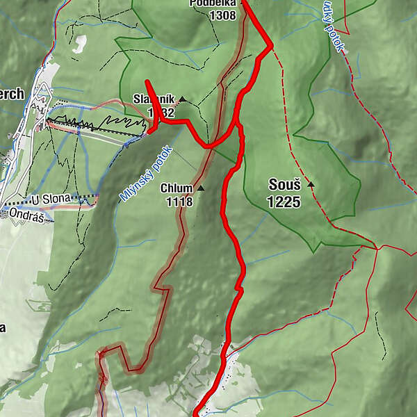
- Route
-
SlaměnkaPodbělka (1,308 m)3.8 kmGlasdörfel9.0 km
- Best season
-
JanFebMarAprMayJunJulAugSepOctNovDec
- Highest point
- 1,305 m
- Endpoint
-
Oberste Busstation im Moravatal
- Height profile
-
 © outdooractive.com
- Author
-
The tour Auf die Podbelka is used by outdooractive.com provided.
GPS Downloads


General info
A lot of view
Other tours in the regions