
- Brief description
-
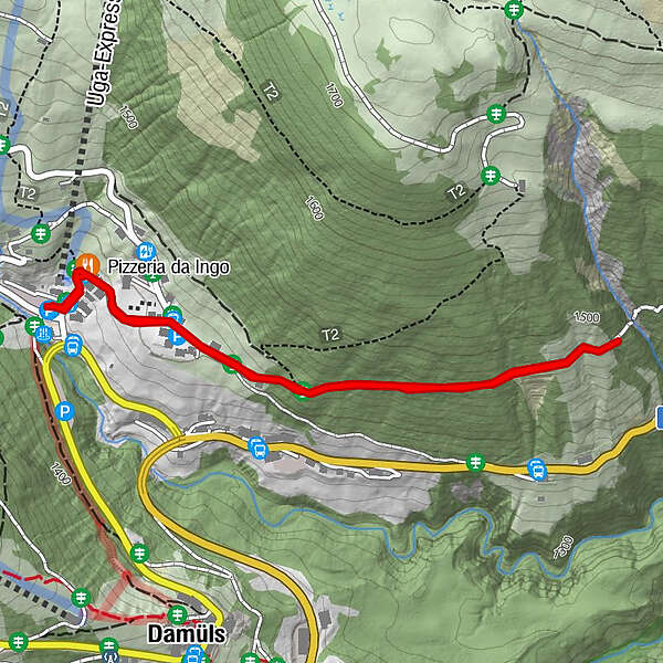
Talstation Uga-Lift - Hotel Restaurant Alpenblume - Oberhölderle - Hotel Restaurant Alpenblume - Talstation Uga-Lift
- Difficulty
-
easy
- Rating
-
- Route
-
Pizzeria da Ingo2.4 km
- Highest point
- 1,464 m
- Endpoint
-
Talstation Uga-Lift, Damüls
- Height profile
-


-

-
AuthorThe tour Damüls I Waldweg "zum Oberhölderle" is used by outdooractive.com provided.
GPS Downloads


General info
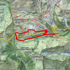
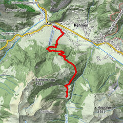
A lot of view
Other tours in the regions