- Brief description
-
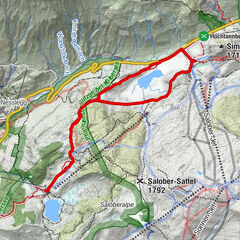
Ortszentrum - Rettungshaus - Sportplatz - Talstation Oberdamüls - Ortszentrum
- Difficulty
-
easy
- Rating
-
- Route
-
Oberdamüls1.5 kmPfarrkirche Hl. Nikolaus1.7 kmDamüls (1,423 m)1.8 km
- Best season
-
AugSepOctNovDecJanFebMarAprMayJunJul
- Highest point
- 1,454 m
- Endpoint
-
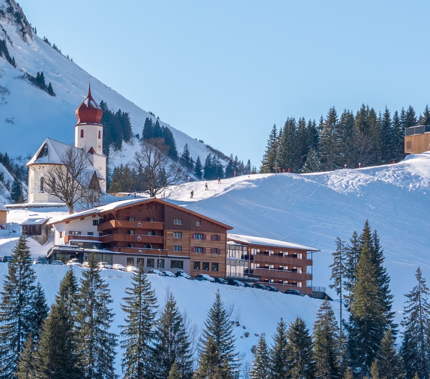
Kirchdorf Damüls
- Height profile
-

-

-
AuthorThe tour Damüls I Rund ums Kirchdorf is used by outdooractive.com provided.
GPS Downloads


Other tours in the regions