


- Brief description
-
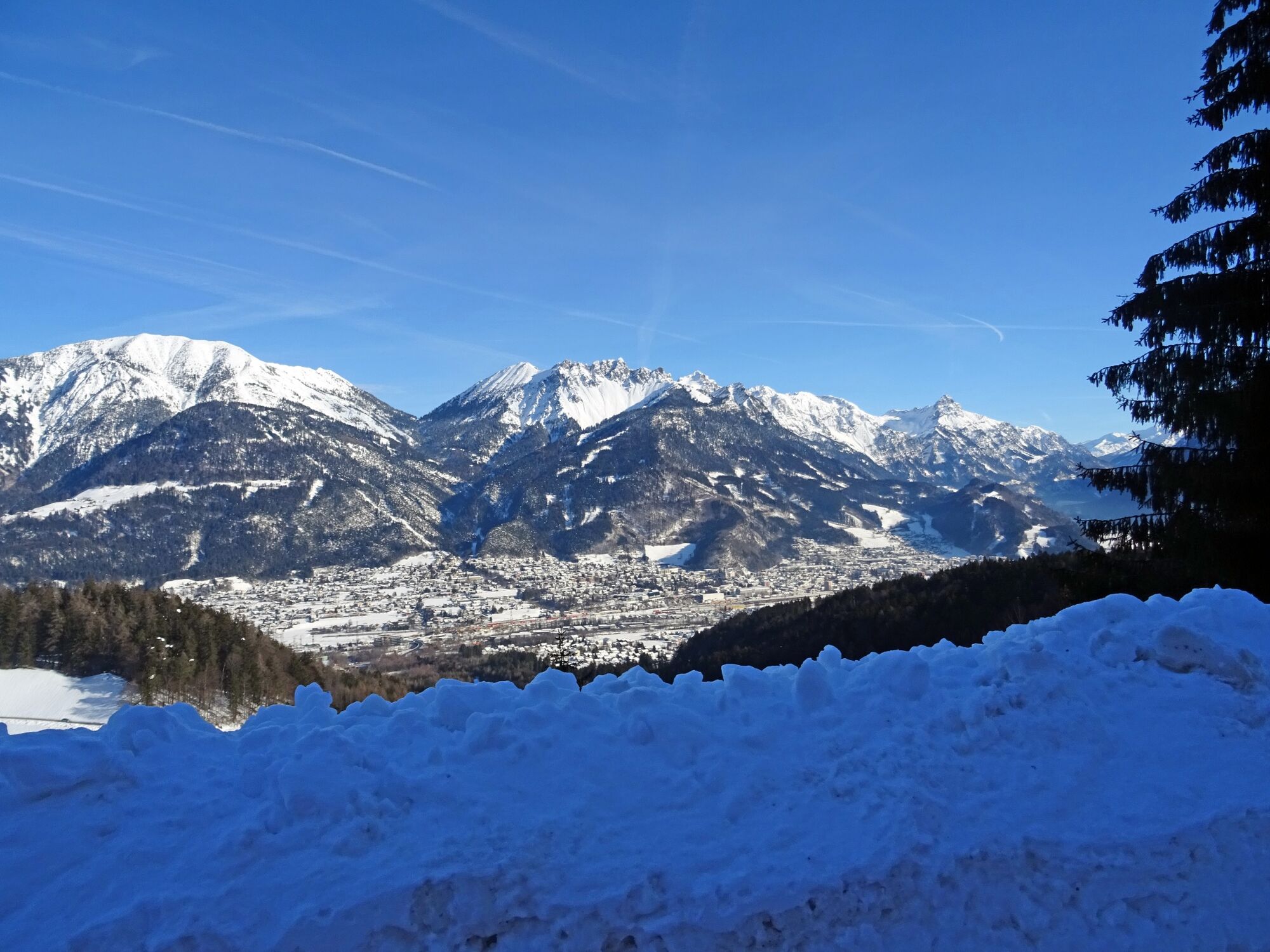
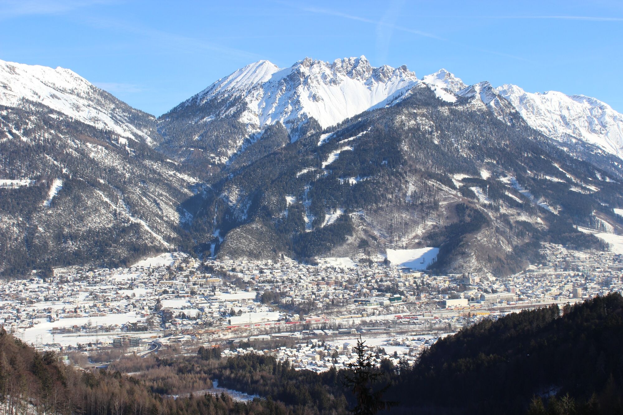
Beautiful winter hike from Bürs to Bürserberg with great views of the alpine town of Bludenz.
- Difficulty
-
easy
- Rating
-
- Starting point
-
Sports facility, Bürs
- Route
-
Bürserberg2.8 km
- Best season
-
AugSepOctNovDecJanFebMarAprMayJunJul
- Description
-
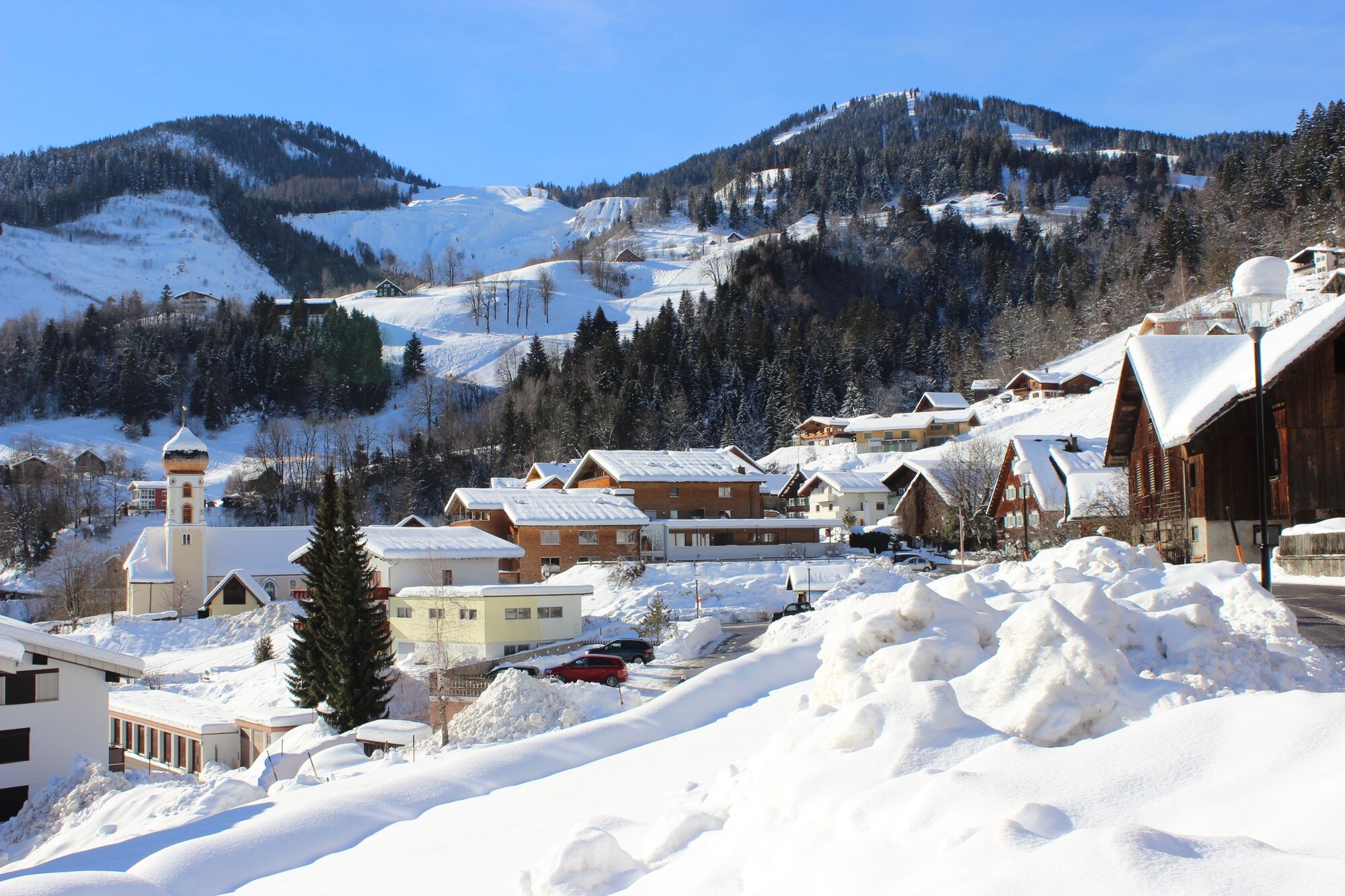
This winter hike starts at the sports facility in Bürs. From here, hike briefly along the main road uphill. Cross the main road at the stop sign and walk on the opposite side of the road on the no-drive road in the direction of Außerberg. First cross a bridge, then continue along the old road through the forest and past houses in the direction of Außerberg. From the village of Außerberg continue to the center of Bürserberg. From here take the same route back or take the bus L580 back to Bürs.
- Directions
-
Bürs - main road - stop sign - cross the provincial road - no-drive road - Außerberg - Bürserberg town centre - return via the same route or by bus L580.
- Highest point
- 872 m
- Endpoint
-
Village center, Bürserberg
- Height profile
-

- Equipment
-
Sturdy shoes, warm clothing and walking sticks are recommended. Cell phone in case of emergency.
- Safety instructions
-
EMERGENCY CALL
140 Alpine emergencies Austria-wide
144 Alpine emergencies Vorarlberg
112 Euro-emergency call (works with any mobile phone/network)www.alpenregion-vorarlberg.com/sicherheitstipps-winter
Due to weather conditions, the winter hiking trails may not be freshly groomed every day. Depending on snow and weather conditions, changes may occur. These are constantly updated and can be found under these links:
www.brandnertal.at/schneebericht
- Directions
-
www.maps.google.at
- Public transportation
- Parking
-
Sports facility, Bürs
- Author
-
The tour Außerbergweg | Bürs-Bürserberg is used by outdooractive.com provided.


General info
-
St. Gallen - Bodensee
115
-
Brandnertal
152
-
Bürserberg
57


