- Brief description
-
This winter hiking trail runs along the Alte Statt path and offers beautiful views of Zimba, Bludenz and the surrounding valleys.
- Difficulty
-
medium
- Rating
-
- Starting point
-
Mountain station Dorfbahn
- Route
-
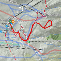
Parpfienzsattel (1,675 m)3.5 kmRonaalpe8.3 kmUnicorn Restaurant9.8 kmTschengla9.8 km
- Best season
-
AugSepOctNovDecJanFebMarAprMayJunJul
- Description
-
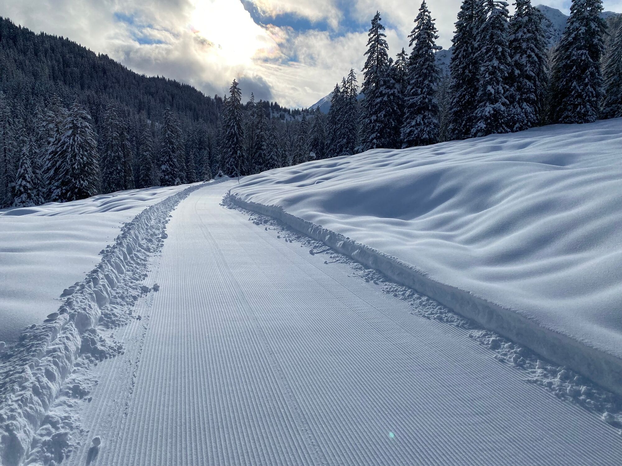
From the mountain station of the Dorfbahn cable car, take the ski trail for a few minutes in the direction of Innere Parfienzalpe. You cross the stream to the west of the alp. Here begins the ascent to the Parpfienzsattel, which you reach in approx. 45 min. From there, descend to Bürserberg (from the saddle, turn left in an arc across a clearing). You soon reach the route of the "Alte Statt Weg", which - partly through forest - crosses the mountain flank descending high above the Mühlebachtobel. View of the Tschengla high plateau and the Bludenz valley basin with the mountain world of the "Five Valleys Star". Finally, through the larch forest in hairpin bends to the high plateau of Alpe Rona and via the Kohlgrubweg to the mountain station of the Einhornbahn I cable car. Descent to Bürserberg with the chairlift (saves approx. 45 min descent) and then back to Brand with the bus.
- Directions
-
Dorfbahn mountain station - ski trail to the Innere Parpfienzalpe - Innere Parpfienzalpe - Parpfienzweg - Parpfienzsattel - Alte Statt Weg - Tschengla/Alpe Rona high plateau - Kohlgrubweg - Einhornbahn I mountain station - descent with Einhornbahn I - back to Brand by bus
- Highest point
- 1,672 m
- Endpoint
-
Bürserberg
- Height profile
-

- Equipment
-
Sturdy shoes, warm clothing and walking sticks are recommended. Cell phone in case of emergency.
- Safety instructions
-
EMERGENCY CALL
140 Alpine emergencies Austria-wide
144 Alpine emergencies Vorarlberg
112 Euro-emergency call (works with any mobile phone/network)www.alpenregion-vorarlberg.com/sicherheitstipps-winter
Due to weather conditions, the winter hiking trails may not be freshly groomed every day. Changes may occur depending on snow and weather conditions. These are constantly updated and can be found under these links:
- Tips
-
There is also the option of ascending from Bürserberg via the Alte Statt path (in the direction of Burtschasattel/Restaurant Frööd) and descending again via the same path after a stop for refreshments.
- Directions
-
www.maps.google.at
- Public transportation
- Parking
-
Dorfbahn valley station, Brand

- Author
-
The tour Alte Statt Weg | Brandnertal is used by outdooractive.com provided.


General info
-
Heidiland
217
-
Brandnertal
152
-
Brand
36