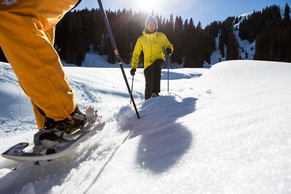
Gortipohl - St. Gallenkirch

Logo Gortipohl - St. Gallenkirch
Tour data
3.37km
881 - 960m
Distance
90hm
109hm
Ascent
02:00h
 
Duration
Brief description

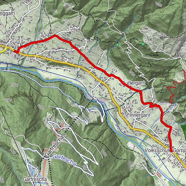
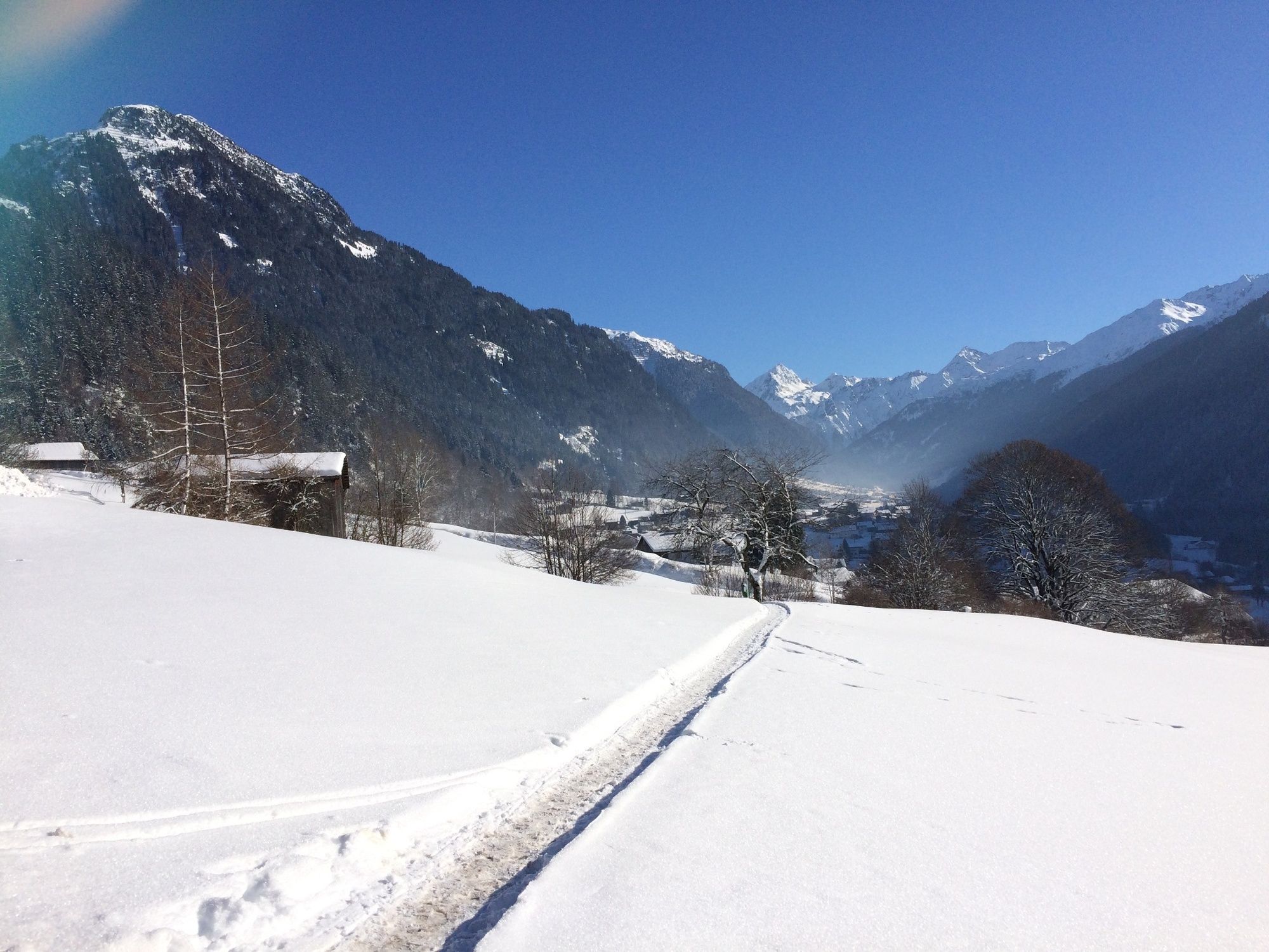
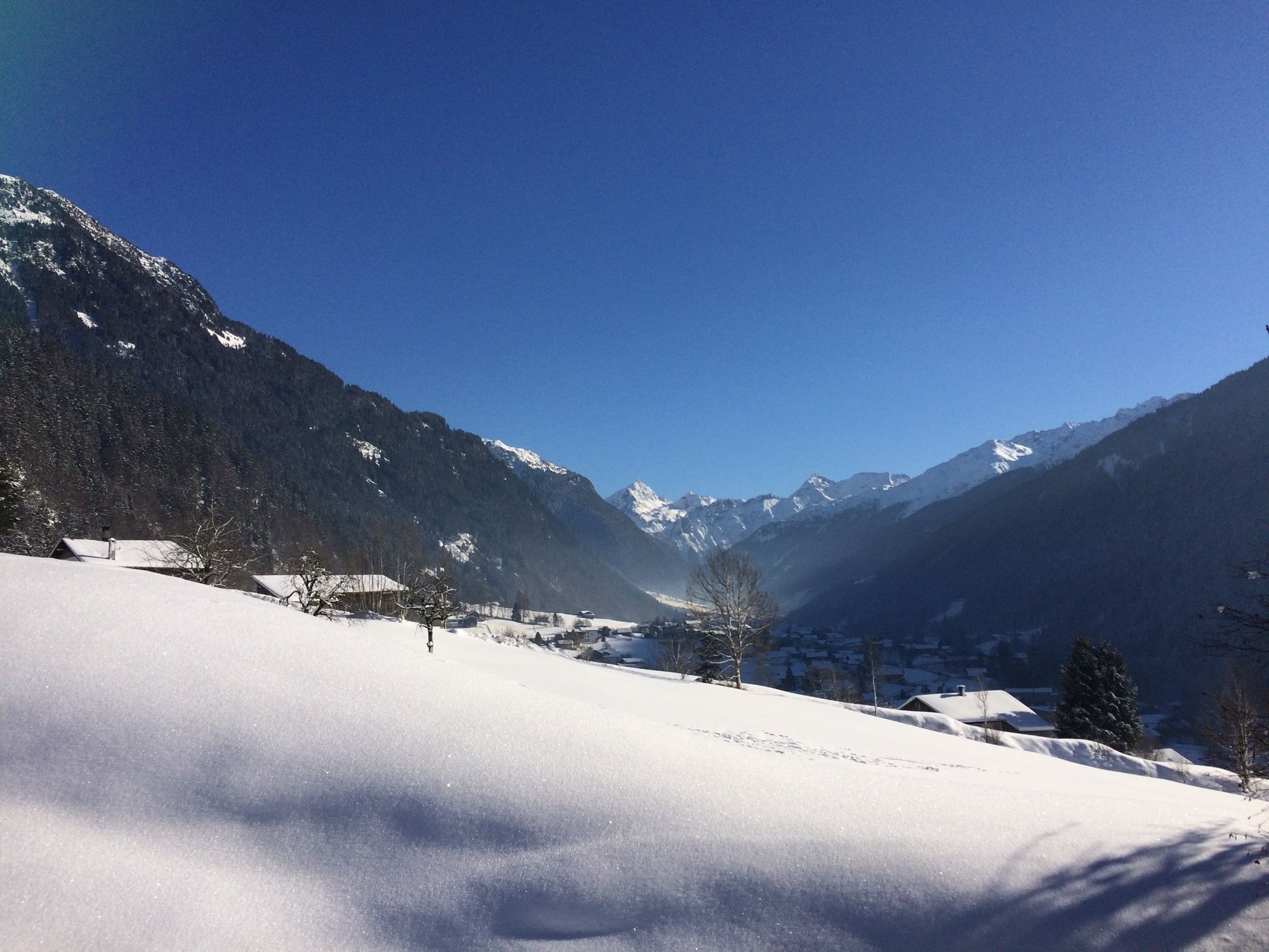
Ortszentrum Gortipohl - Allmeinweg - Innergant - Kloster Mariahilf - Innerziggam - Ortszentrum St. Gallenkirch


Difficulty
easy
Rating
Technique
Fitness
Landscape
Experience
Route
Gortipohl
0.3 km
Außergant
1.3 km
St. Gallenkirch
3.3 km
Pfarrkirche heiliger Gallus
3.3 km

Best season
Aug
Sep
Oct
Nov
Dec
Jan
Feb
Mar
Apr
May
Jun
Jul
Highest point
960 m
Endpoint

Zentrum St. Gallenkirch

Height profile

Author
The tour Gortipohl - St. Gallenkirch is used by outdooractive.com provided.

Overall rating

5

0

%

4

0

%

3

0

%

2

0

%

1

0

%

Error
An error has occurred. Please try again.
Thank you for your review

Rating has been deleted

GPS Downloads
  • GPX GPS Exchange Format (XML)
  • KML Google Earth, Google Maps
QR Download Codes for Mobile Phones

General info

A lot of view
Other tours in the regions

Popular tours in the area

High altitude hiking trail | Brand

medium Winter hiking
4.77km | 180hm | 02:00h

Burtschaweg | Bürserberg

easy Winter hiking
10.7km | 370hm | 03:30h

Circular hike | Brand

easy Winter hiking
6.78km | 100hm | 02:00h