
- Brief description
-
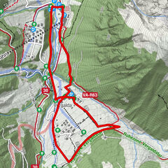
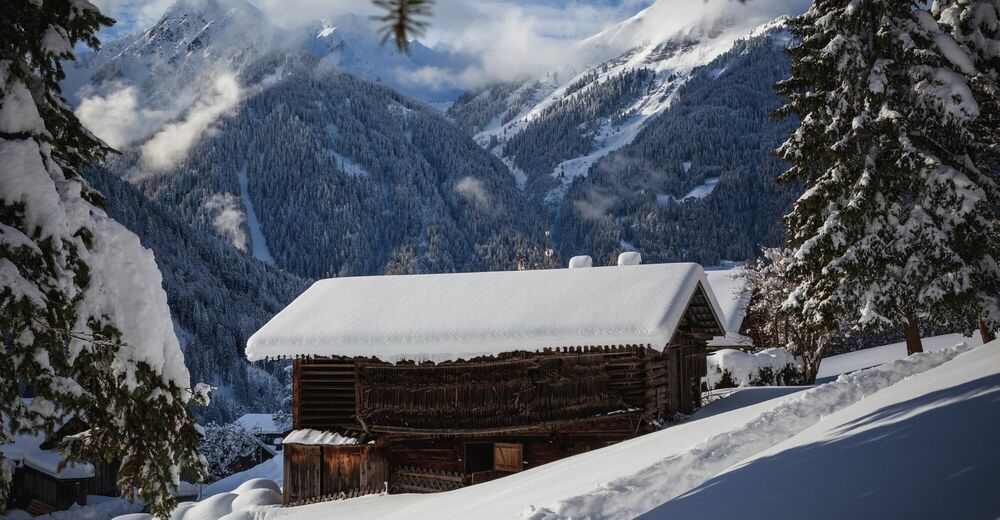
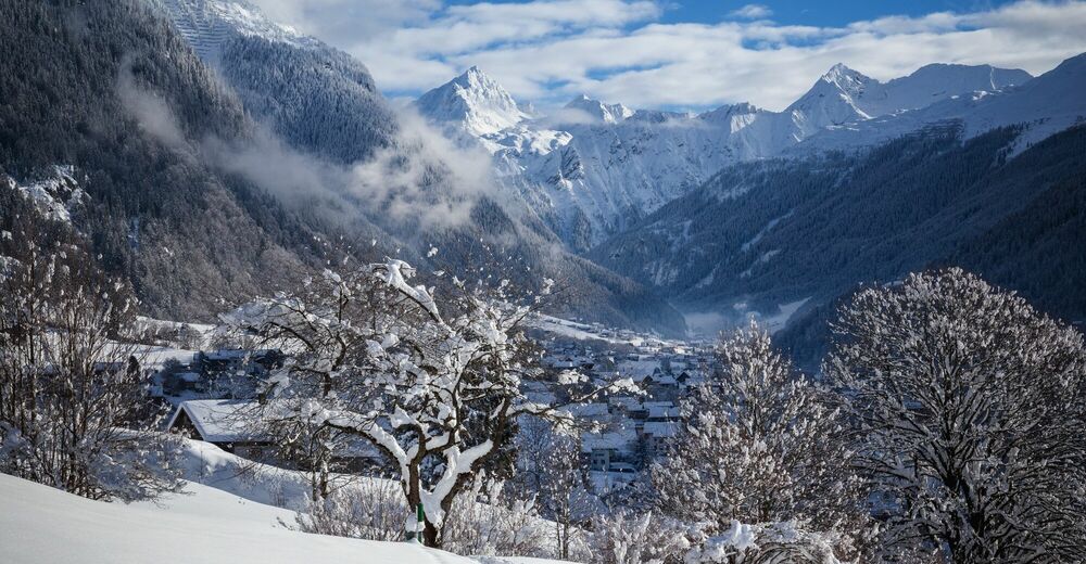
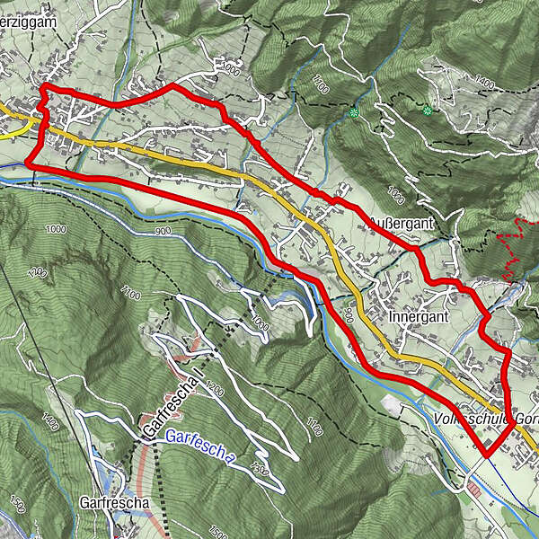
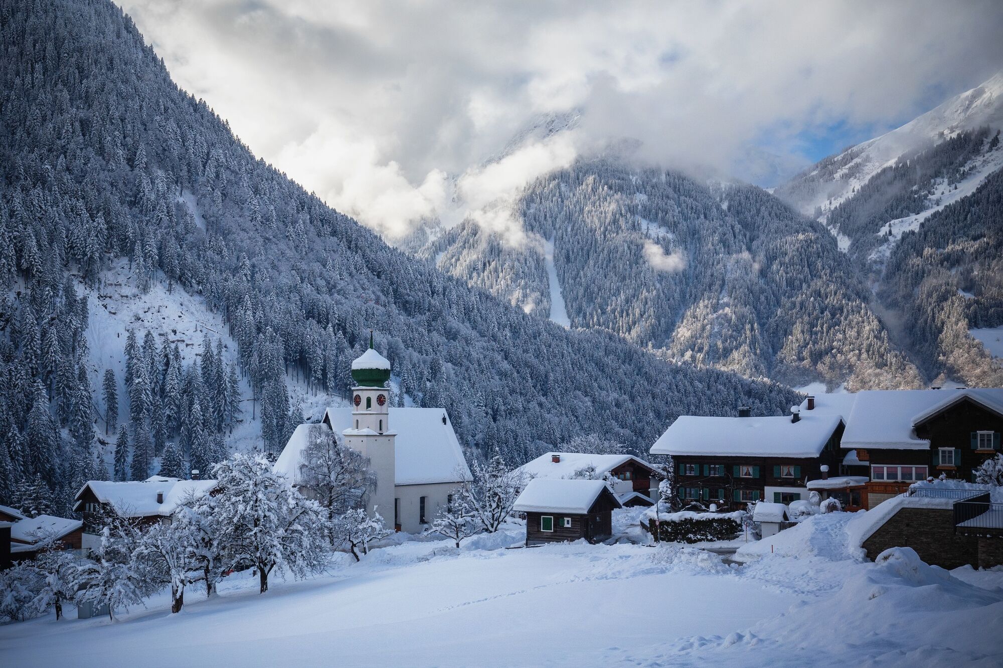
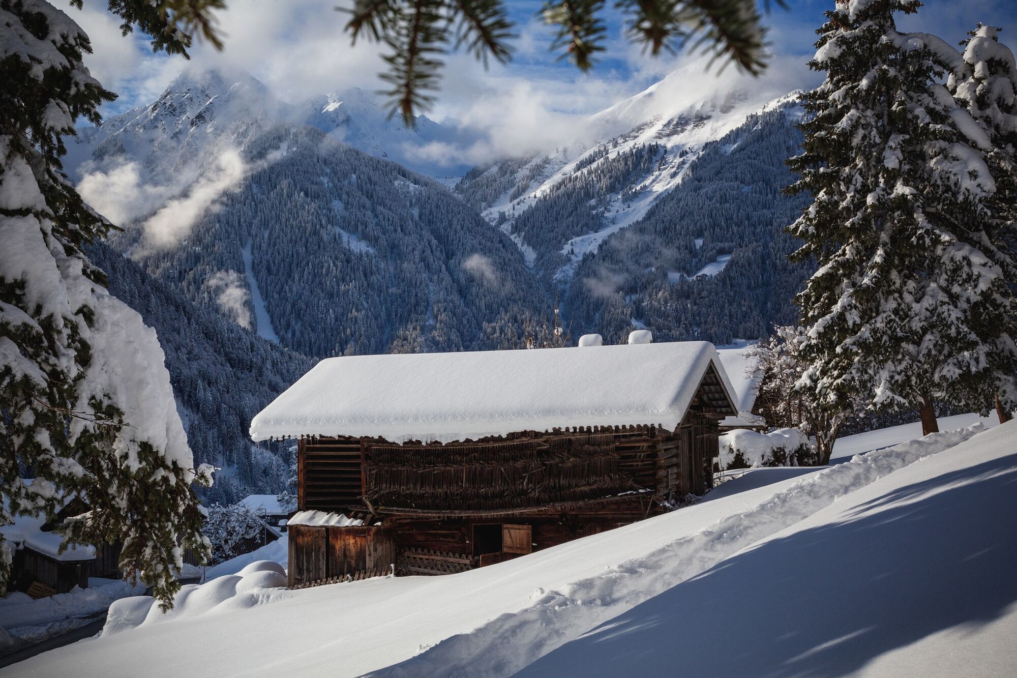
Ortszentrum St. Gallenkirch - Gemeindesaal - Innerziggam - KlosterMariahilf - Außer- und Innergant - Allmeinweg - Ortszentrum Gortipohl -Blendolmaweg - Illweg - Talstation Garfrescha Bahn - Illweg - Ortszentrum St. Gallenkirch
- Difficulty
-
easy
- Rating
-
- Route
-
St. GallenkirchAußergant2.3 kmGortipohl3.3 kmGarfrescha I (872 m)5.2 kmSt. Gallenkirch6.7 km
- Best season
-
AugSepOctNovDecJanFebMarAprMayJunJul
- Highest point
- 958 m
- Endpoint
-
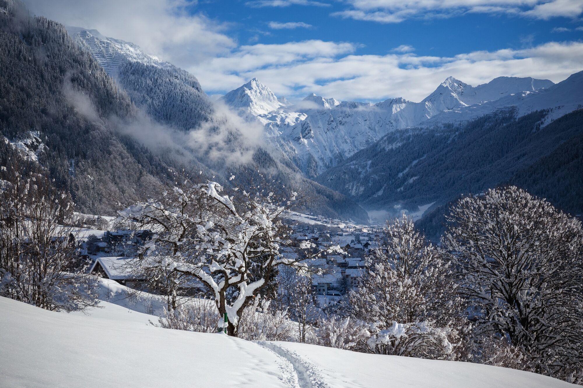
Zentrum St. Gallenkirch
- Height profile
-

- Author
-
The tour St. Gallenkirch - Innerziggam - Garfrescha Bahn is used by outdooractive.com provided.
GPS Downloads


Other tours in the regions