- Brief description
-
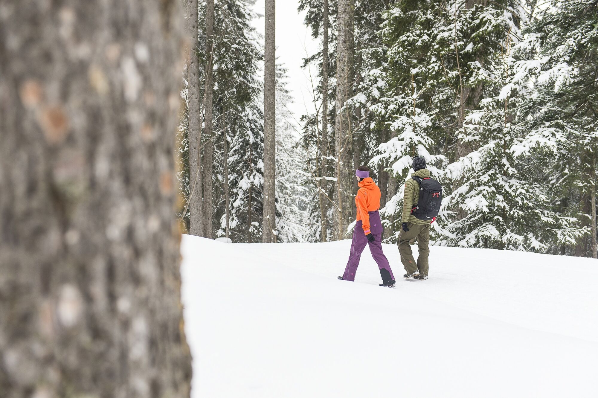
Beautifully laid out winter hiking trail with only slight inclines to the Steinbild in Sonntag-Stein.
- Difficulty
-
easy
- Rating
-
- Starting point
-
Mountain station cable car Sonntag-Stein, Sonntag
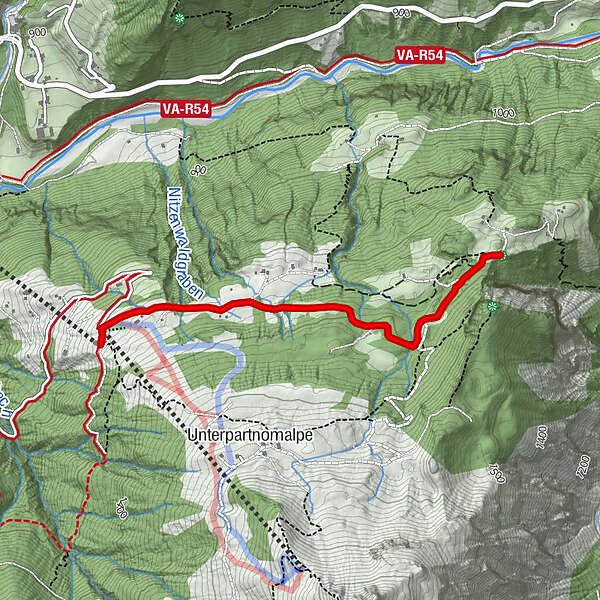
- Route
-
Seilbahn Stuba0.0 kmStein0.0 kmSteinbildvorsäß0.5 kmEchowand2.1 kmSteinbildvorsäß3.6 kmStein4.2 kmSeilbahn Stuba4.2 km
- Best season
-
AugSepOctNovDecJanFebMarAprMayJunJul
- Description
-
This tour begins with the ascent with the gondola lift in Sonntag-Stein. From the mountain station, the prepared winter hike leads past Vordersteinbild to Hintersteinbild and back along the same path.
- Directions
-
Ascent with the cable car to Sonntag-Stein - mountain station cable car Sonntag-Stein - Vordersteinbild - Hintersteinbild - Echowand - same way back
- Highest point
- 1,407 m
- Endpoint
-
Mountain station cable car Sonntag-Stein, Sonntag
- Height profile
-

- Equipment
-
Sturdy shoes, warm clothing and walking sticks are recommended. Cell phone in case of emergency.
- Safety instructions
-
EMERGENCY CALL
140 Alpine emergencies Austria-wide
144 Alpine emergencies Vorarlberg
112 Euro-emergency call (works with any mobile phone/network) #www.alpenregion-vorarlberg.com/sicherheitstipps-winter
Due to weather conditions, the winter hiking trails may not be freshly groomed every day. Changes may occur depending on snow and weather conditions. These are constantly updated and can be accessed via these links:
- Tips
-
You can warm up again after the winter hike with a stop at the Seilbahn Stuba.
- Public transportation
- Parking
-
Valley station of the cable car Sonntag-Stein, Sonntag


- Author
-
The tour Steinbildroute Sonntag-Stein | Sonntag is used by outdooractive.com provided.