
- Brief description
-
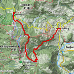
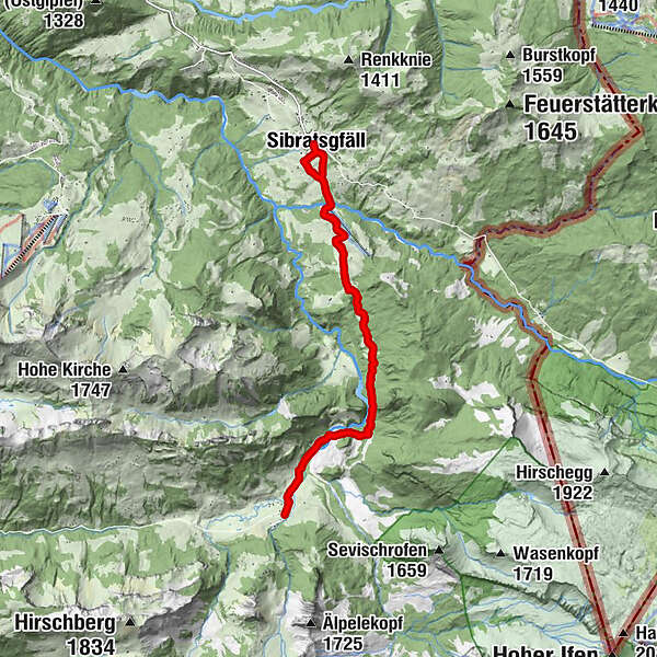
Wild and romantic trail through the Subersach gorge from Sibratsgfäll to Schönenbach and retour.
- Difficulty
-
easy
- Rating
-
- Starting point
-
Car park at Krähenberg ski lift
- Route
-
Der HirschenSibratsgfäll0.0 kmPfarrkirche zum Hl. Erzengel Michael0.1 kmHeiliger Antonius2.1 kmSchönenbach7.8 kmHeiliger Antonius13.4 kmSibratsgfäll15.4 kmPfarrkirche zum Hl. Erzengel Michael15.4 kmDer Hirschen15.4 km
- Best season
-
AugSepOctNovDecJanFebMarAprMayJunJul
- Description
-
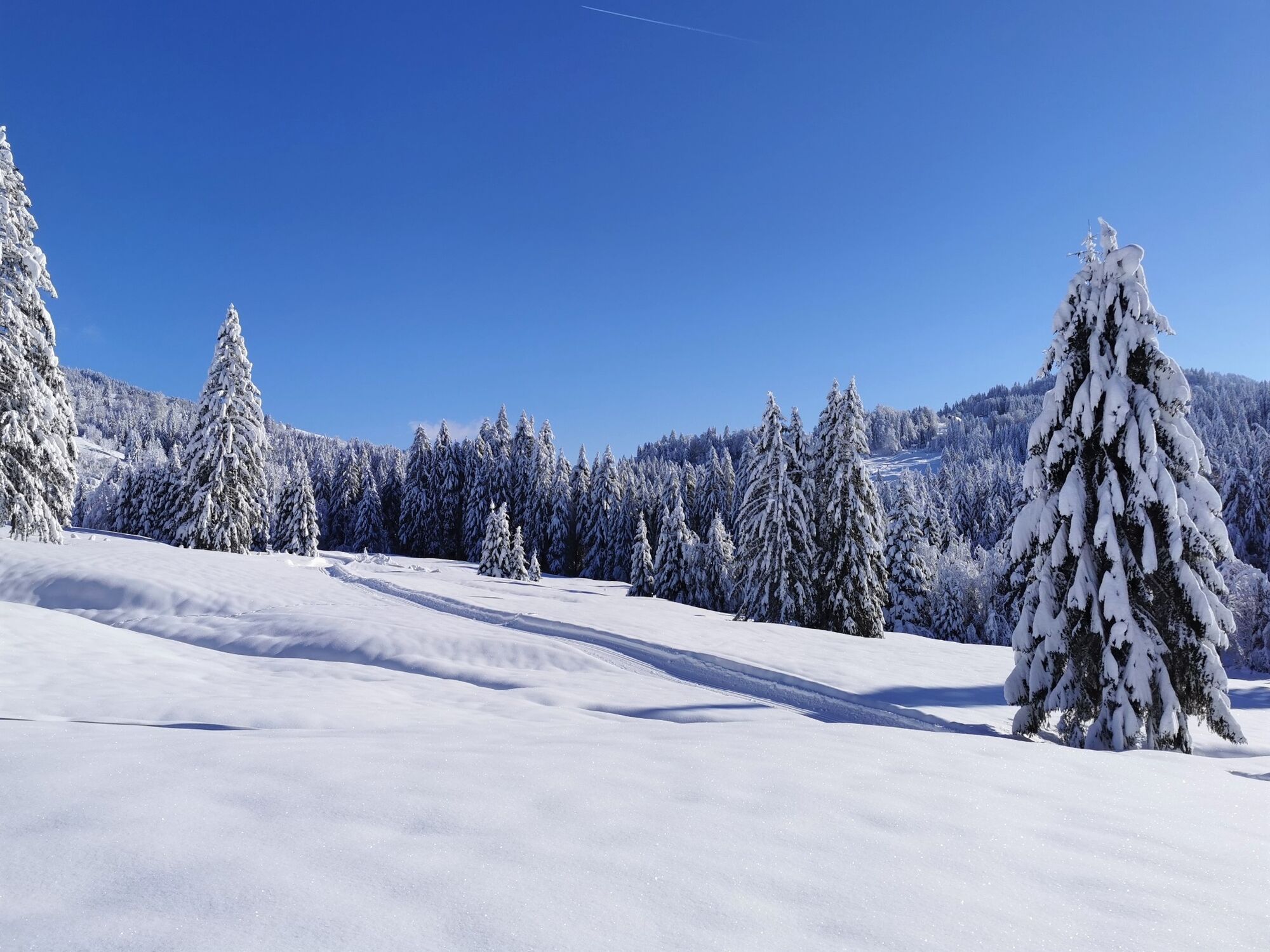
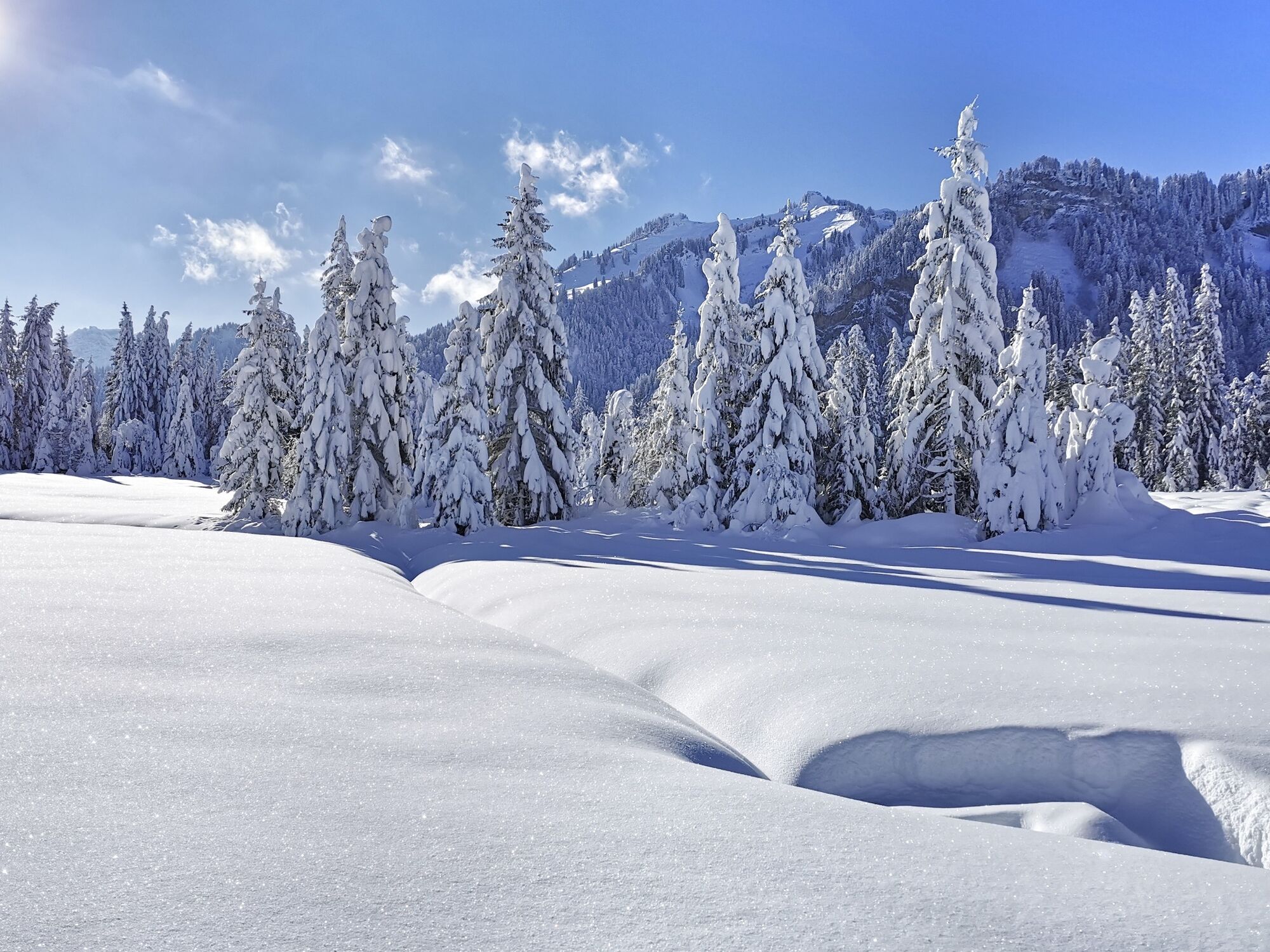
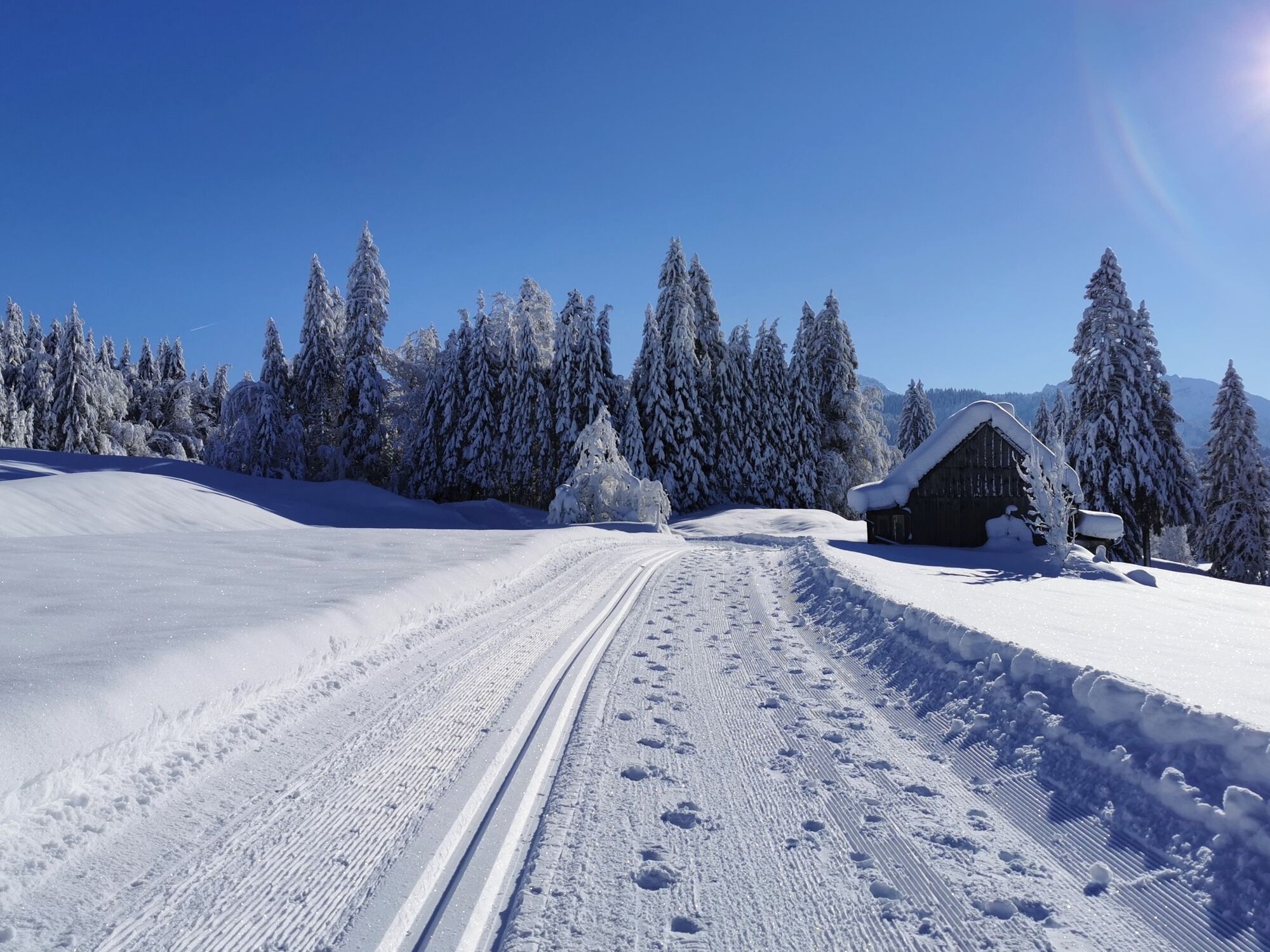
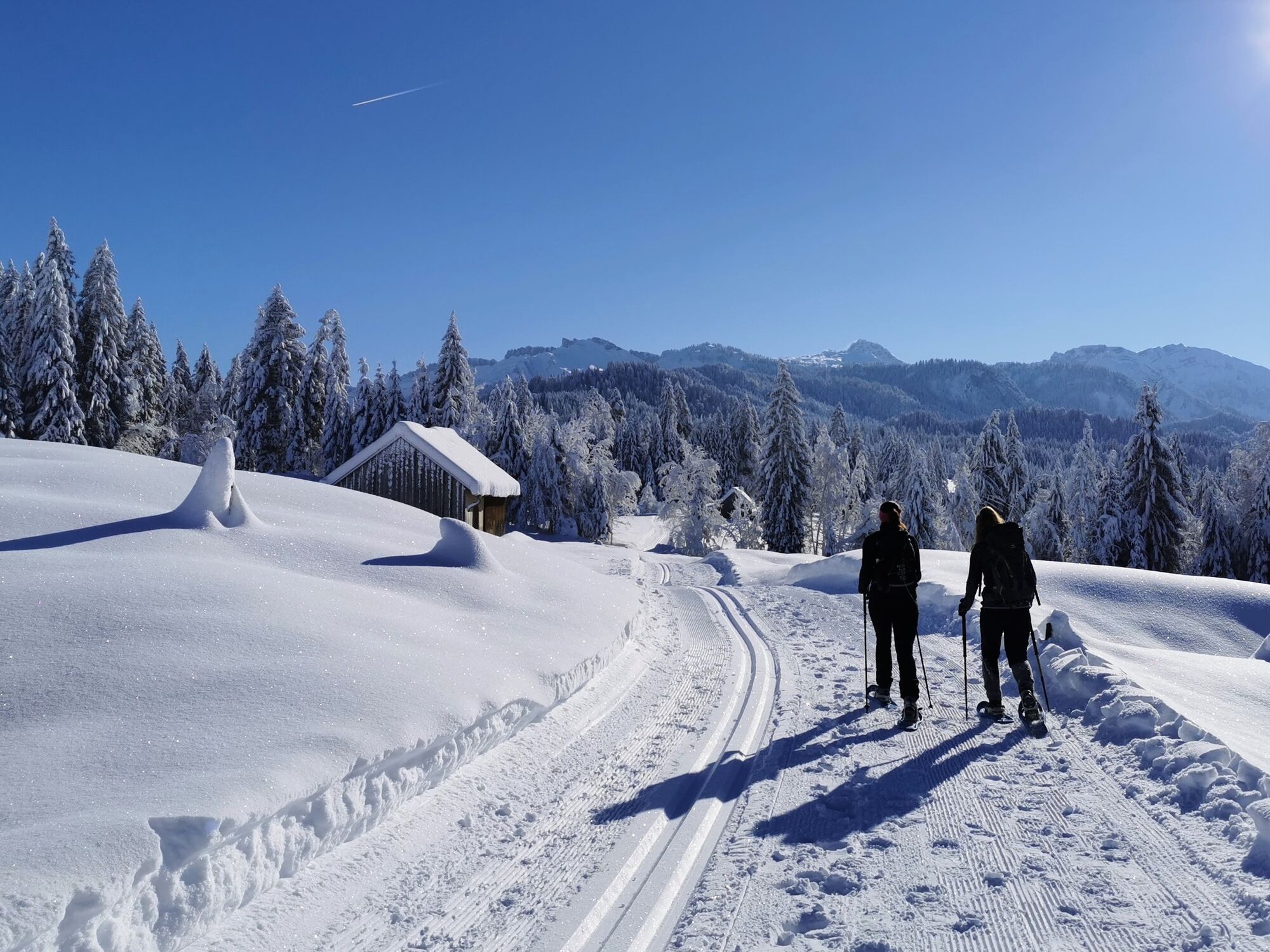
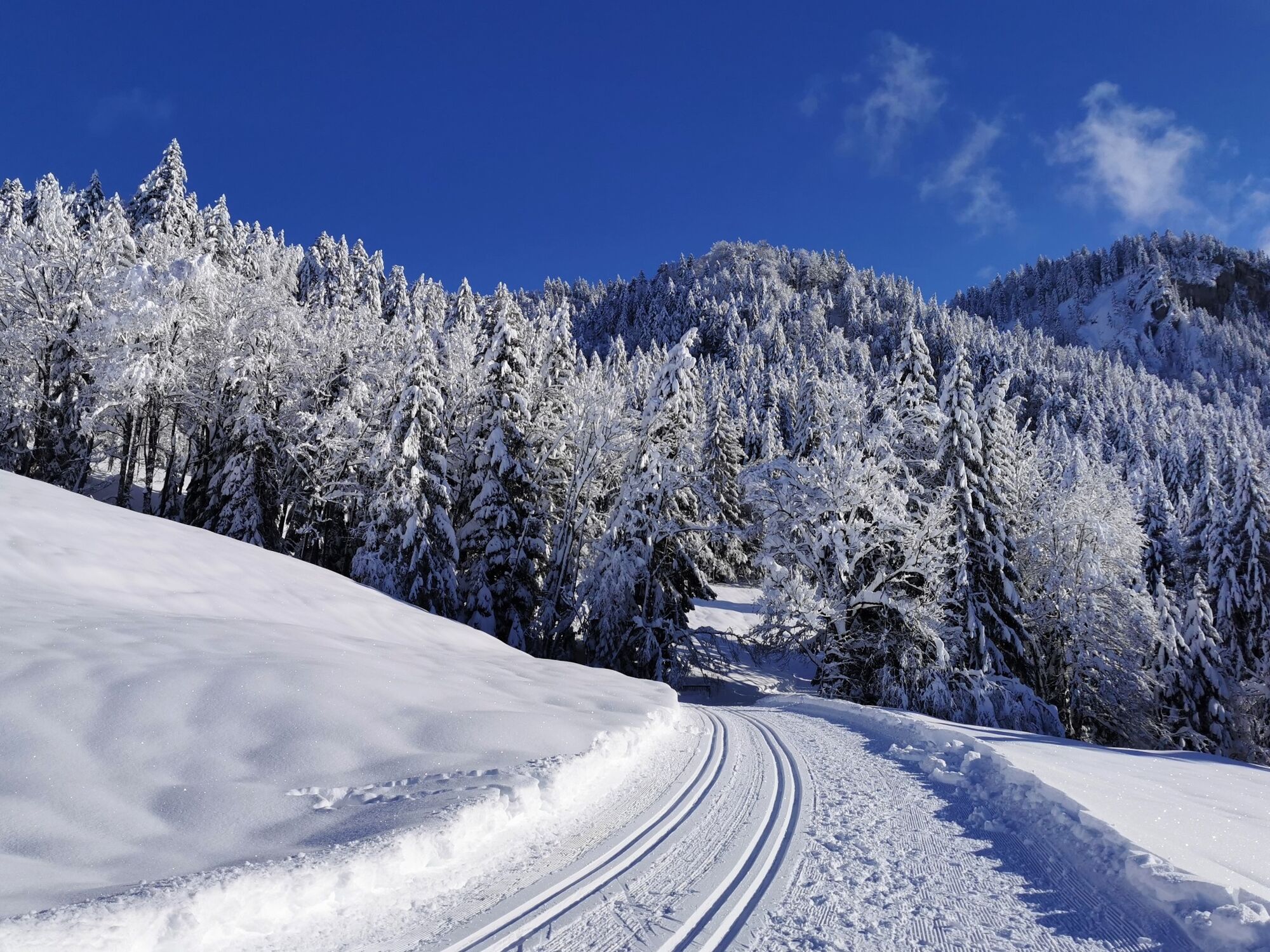
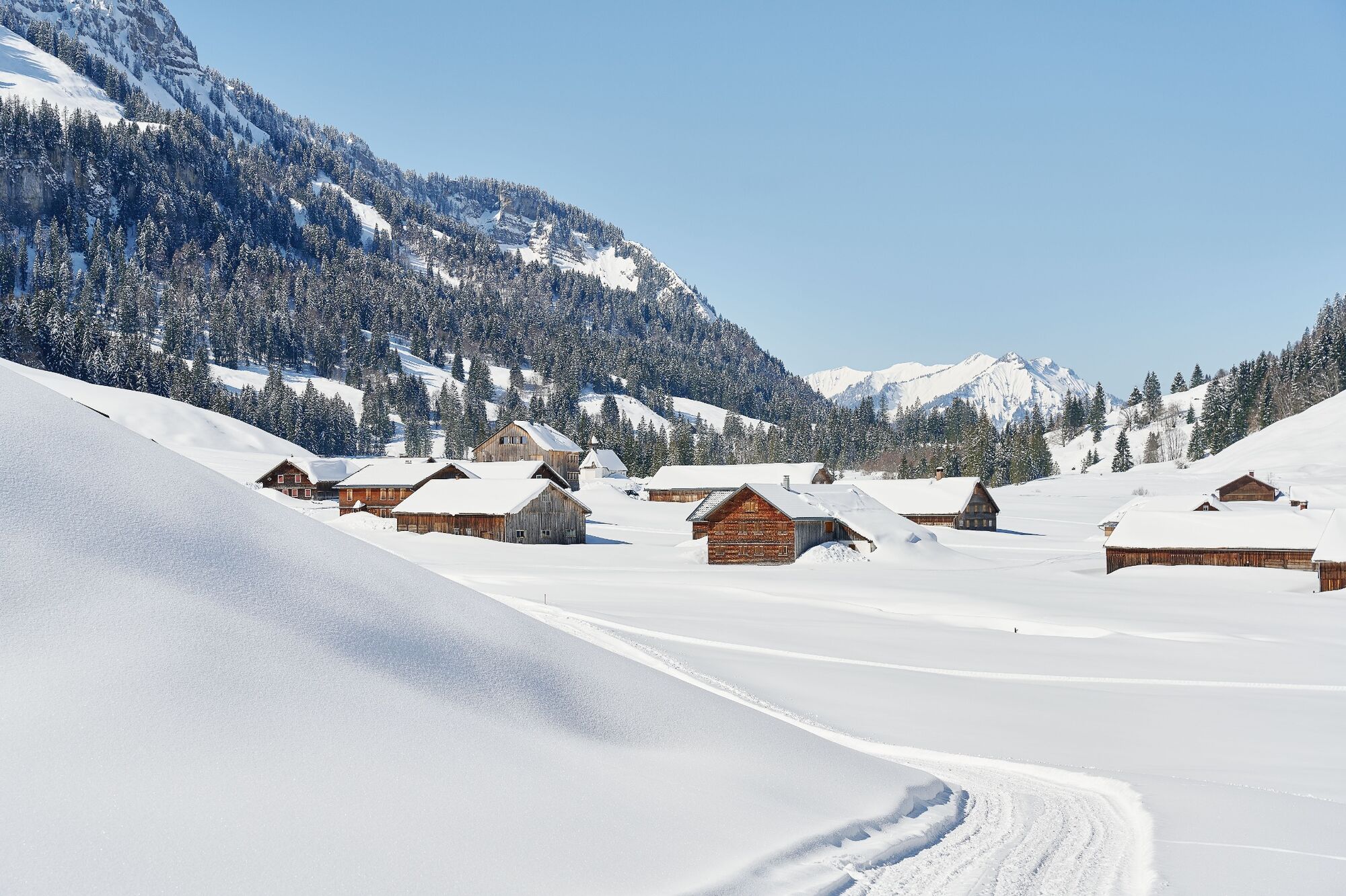
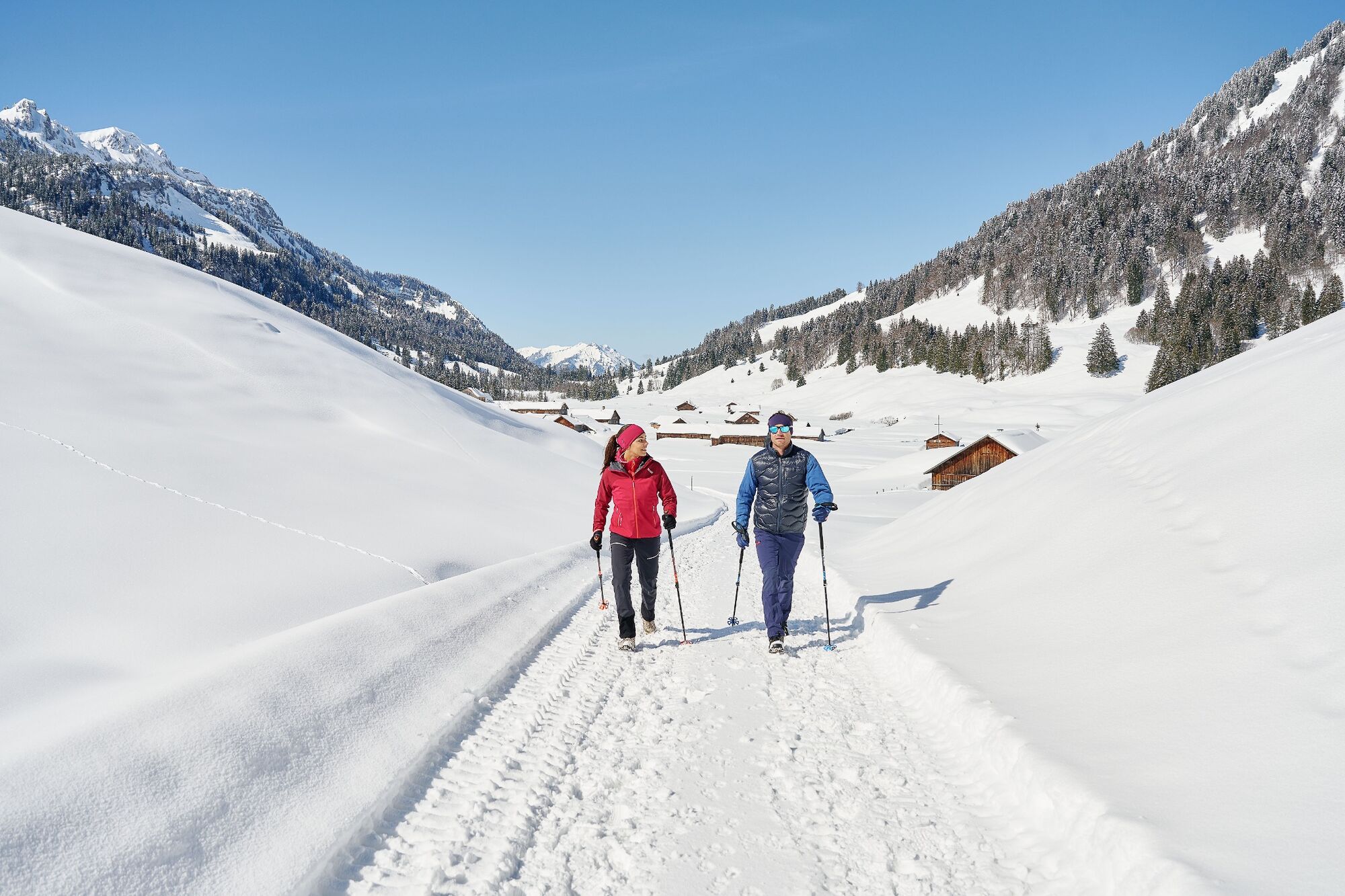
If you take the bus, you must first take the road or follow the flattened winter hiking path down to the car park in Krähenberg (approx. 30 minutes). From the Krähenberg car park, the road descends steeply to Bilgeri's snack bar in Krähenberg. The flattened winter path starts here (keep on the cross-country ski run). Crossing a narrow gorge with impressive views down to the Subersach is a lovely experience. The valley soon reveals itself, and the beautivully located mountain pasture settlement of Schönenbach (1,025 m) is in front of you.
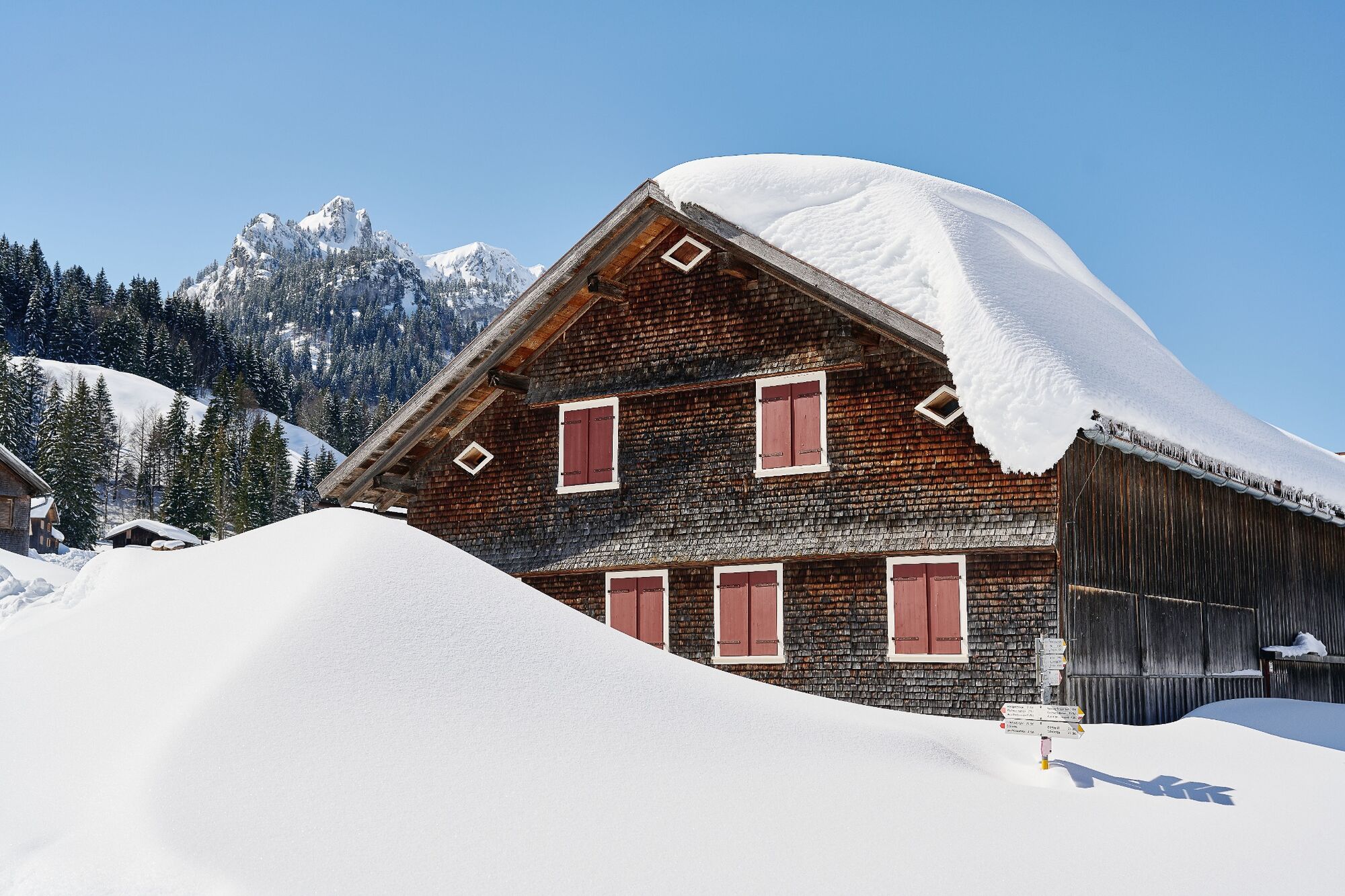
Schönenbach is one of the lovelies, largest mountain pasture settlements in the whole of the Bregenzerwald. It was mentioned for the first time in 1491, compirses over 25 huts and one chapel. Cattle graze on the mountain pasture before and after the alp period. During the summer, the pastures are mowed. In the spring and autumn, the milk is processed into butter and cheese in a collective alpine dairy.
- Directions
-
If you take the bus, you must first take the road or follow the flattened winter hiking path down to the car park in Krähenberg (approx. 30 minutes). From the Krähenberg car park, the road descends steeply to Bilgeri's snack bar in Krähenberg. The flattened winter path starts here (keep on the cross-country ski run). Crossing a narrow gorge with impressive views down to the Subersach is a lovely experience. The valley soon reveals itself, and the beautivully located mountain pasture settlement of Schönenbach (1,025 m) is in front of you.
- Highest point
- 1,018 m
- Endpoint
-
Car park at Krähenberg ski lift
- Height profile
-

- Equipment
-
- waterproof footwear
- warm outerwear - Safety instructions
- Tips
-
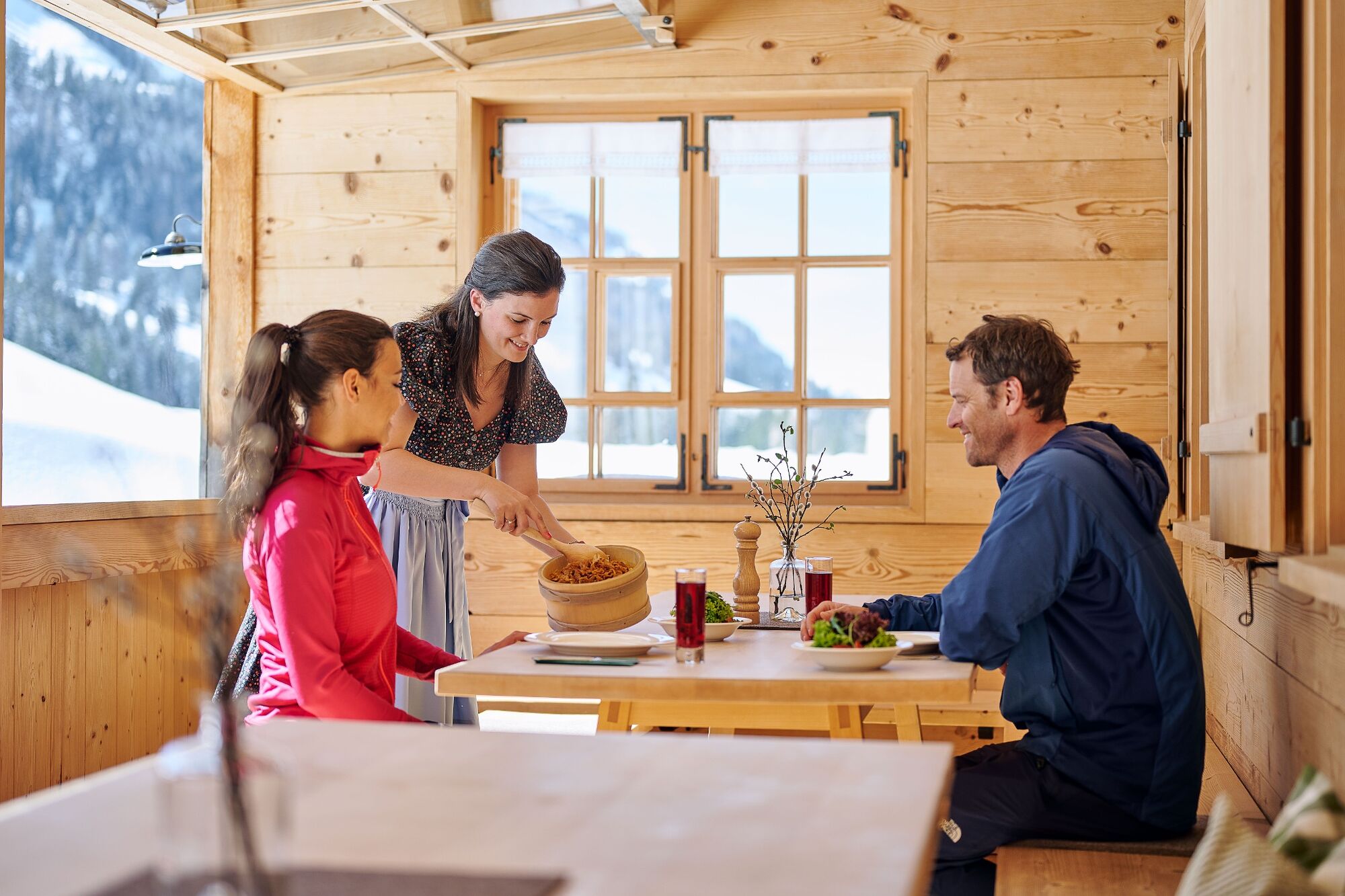
A drink/food:
Bilgeri's in Krähenberg, Sägerstüble in Schönenbach - Directions
-
from Germany: Motorway Lindau - Pfänder Tunnel - Exit Dornbirn Nord - Bregenzerwald - Hittisau - Sibratsgfäll;
OR motorway Kempten - Immenstadt - Oberstaufen - Ach - Riefensberg - Krumbach - Hittisau - Sibratsgfäll
from Switzerland: Motorway St. Gallen - St. Margrethen/Au - Lustenau - Dornbirn - Bregenzerwald - Hittisau - SibratsgfällThe use of Austrian motorways and expressways is subject to a charge. Ther are various types of toll sticker:
"corridor" toll (border of Germany to the Hohenems exit, close to the Swiss border), 10-day, 2-month and yearly stickers.
Information: www.asfinag.at - Public transportation
- Parking
-
Parking at Krähenberg ski lift


- Author
-
The tour Sibratsgfäll | To the lovelies mountain pasture is used by outdooractive.com provided.


General info
-
Bregenzerwald
169
-
Sibratsgfäll
58