
- Brief description
-
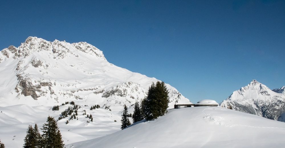
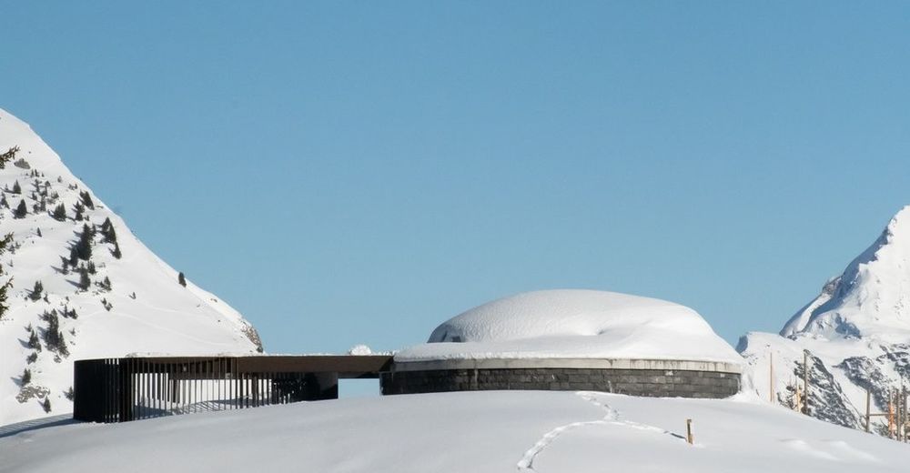
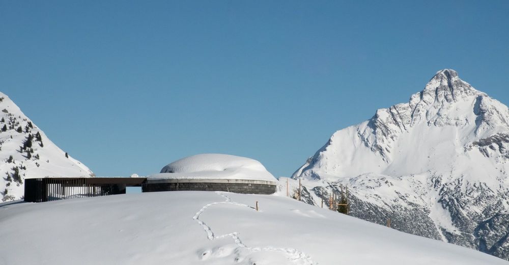
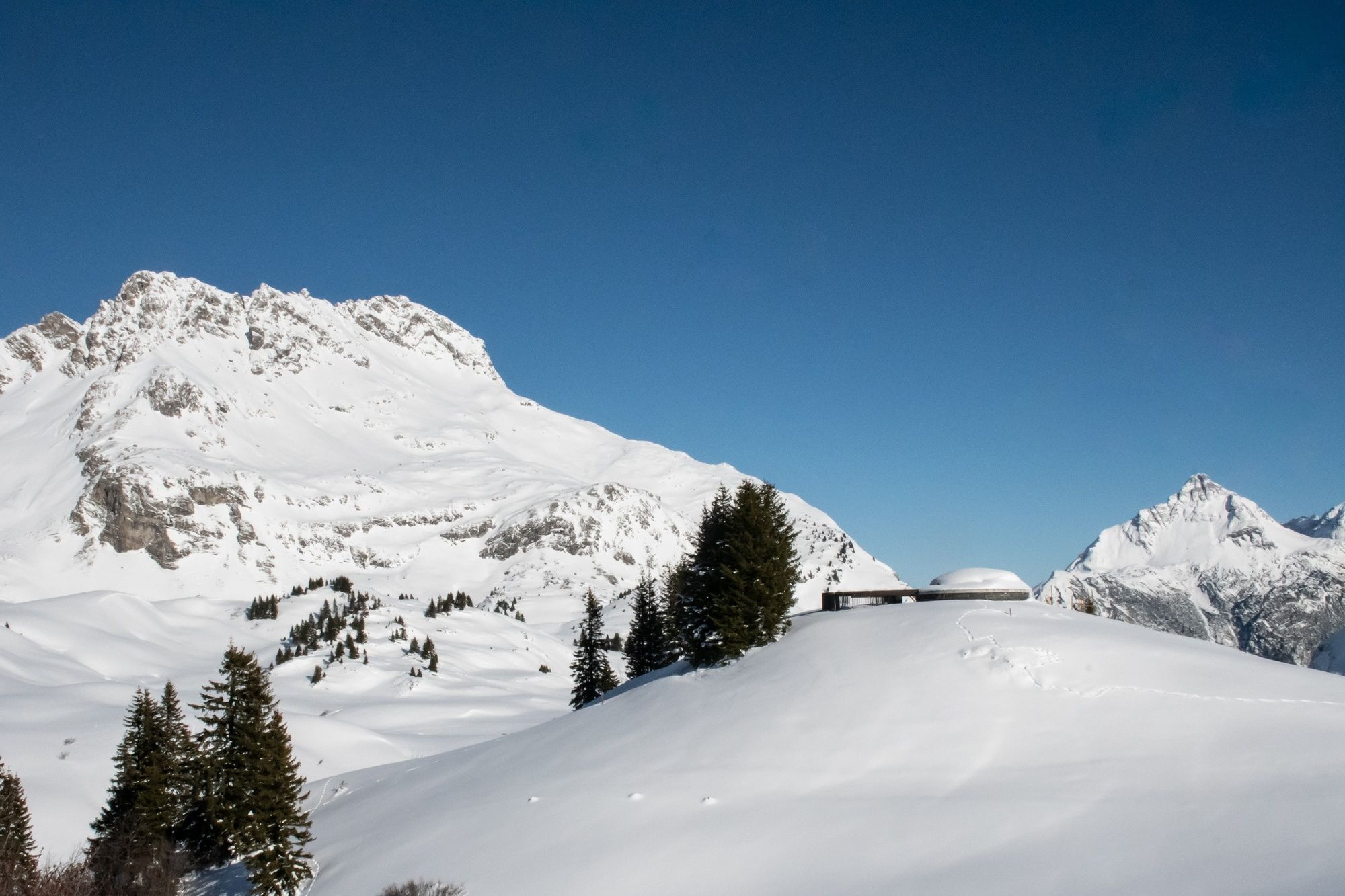
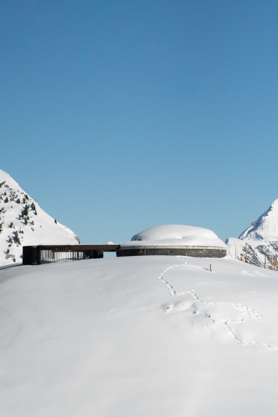
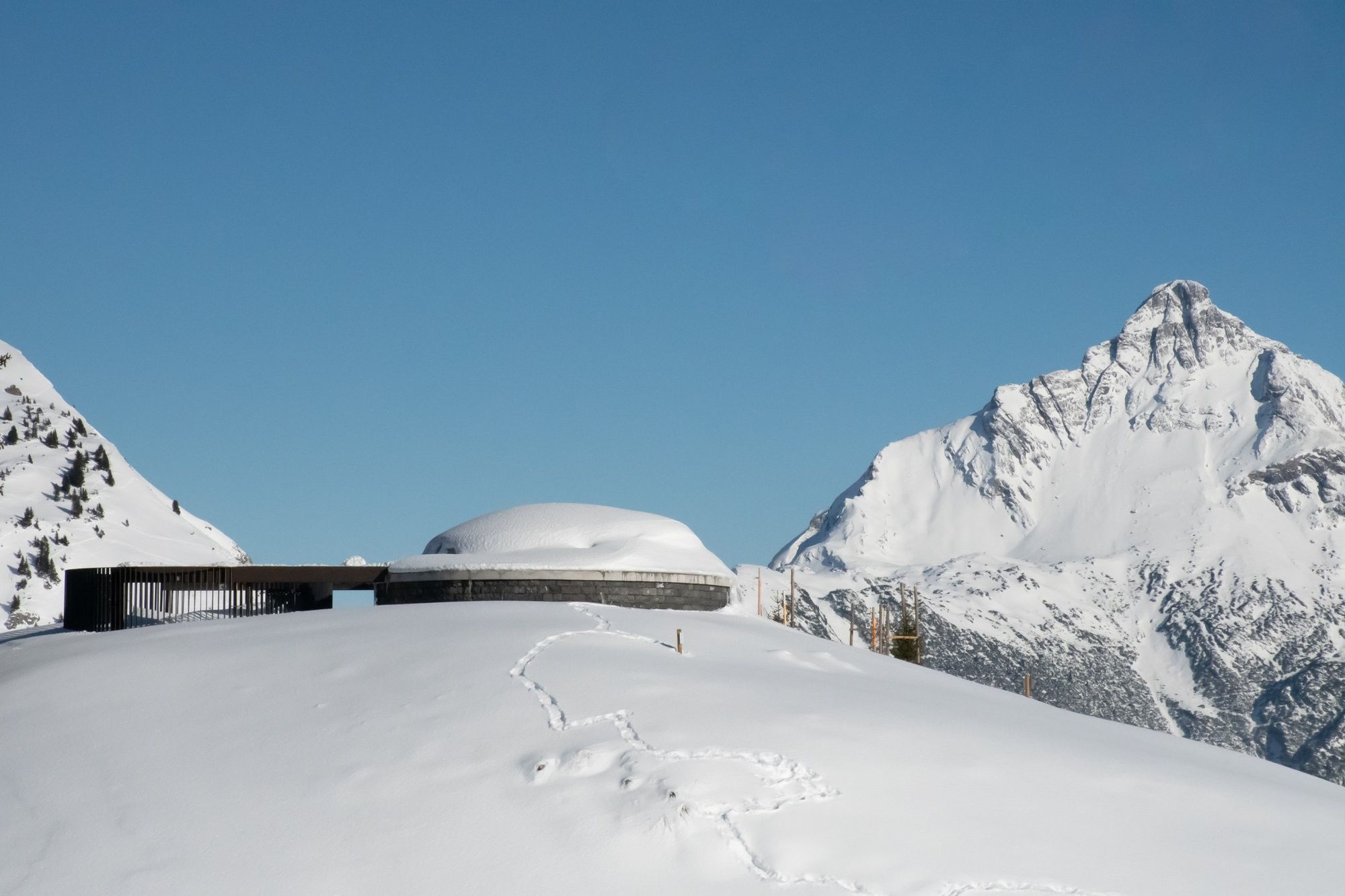
A cultural highlight in Vorarlberg is the Skyspace Lech. The walk-in art installation by the renowned US artist James Turrell celebrated its opening in the summer of 2018.
- Difficulty
-
easy
- Rating
-
- Starting point
-
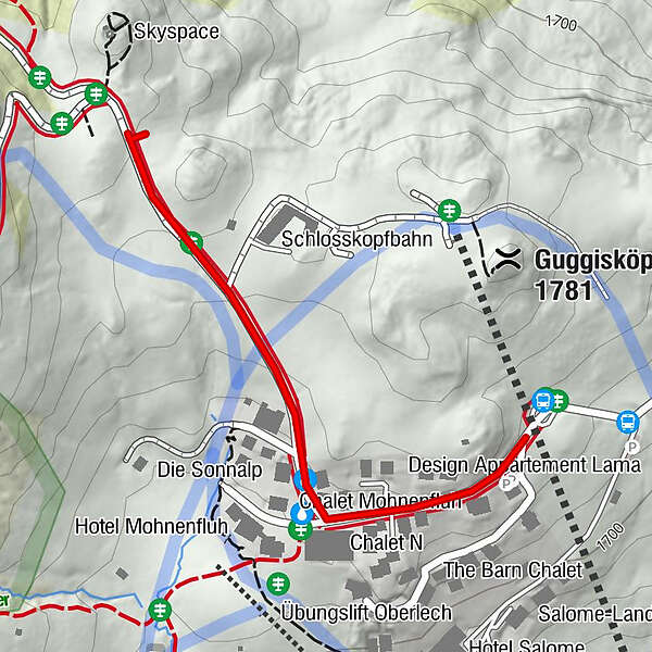
Bus stop Schlössle Oberlech
- Best season
-
AugSepOctNovDecJanFebMarAprMayJunJul
- Description
-
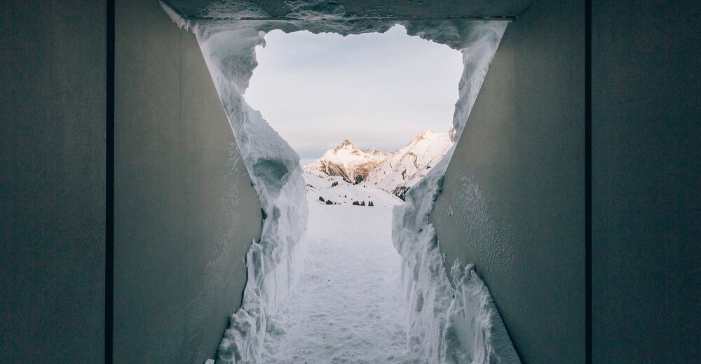
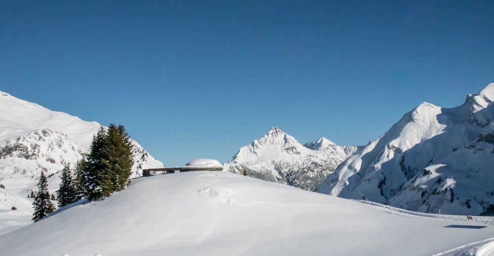
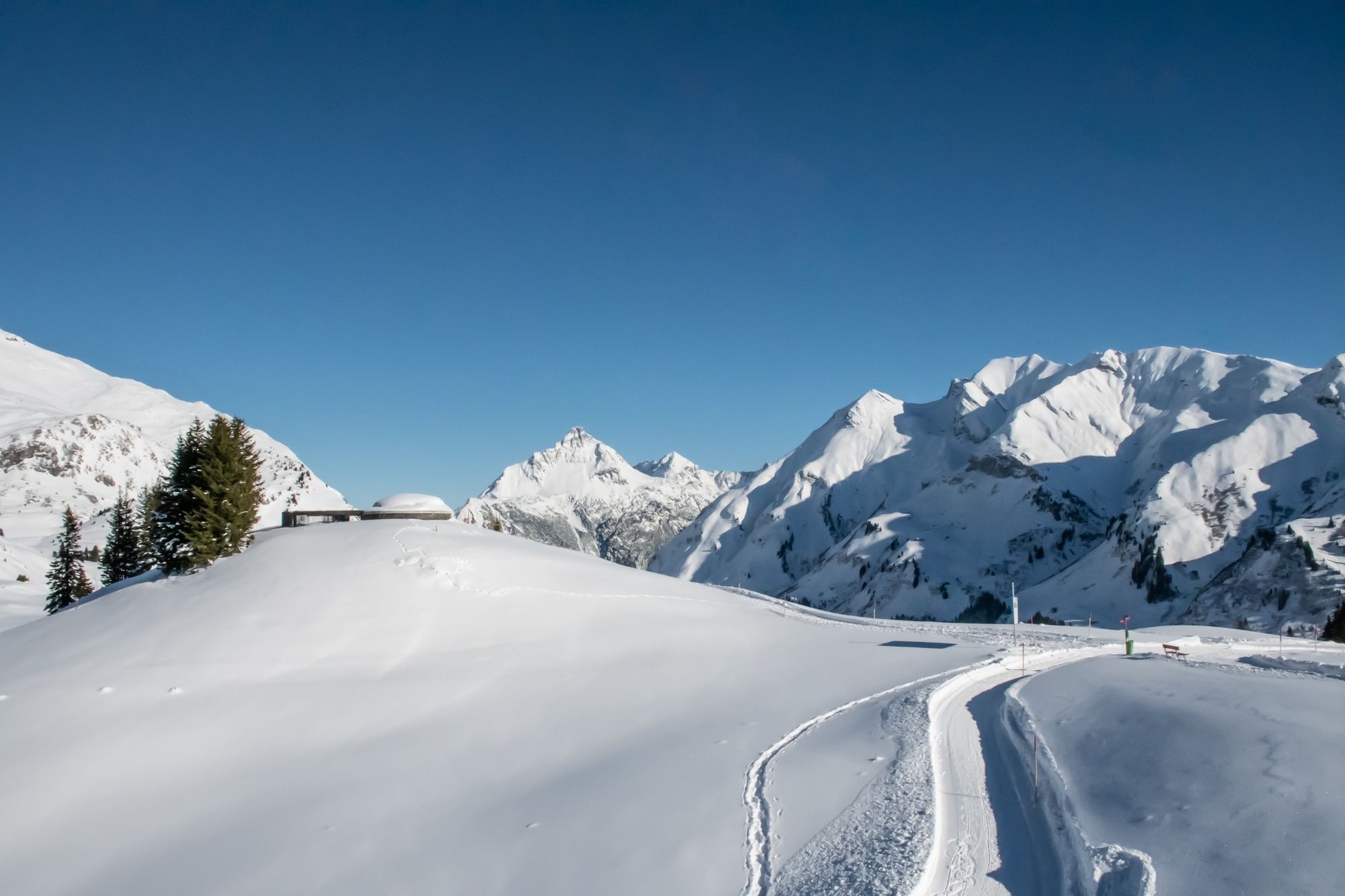
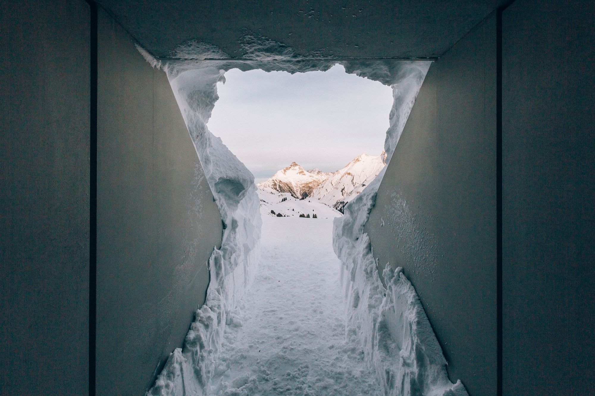
Tannegg in Oberlech has been the meeting place for all art and culture enthusiasts since summer 2018. Following his visit to Lech am Arlberg in 2014, the world-famous artist James Turrell conceived the walk-in art installation Skyspace. The art installation transports visitors into colorful worlds. Space and time take on a new meaning in Skyspace. Guided tours take place at regular intervals in the Skyspace Lech. Various light installations and light effects illuminate the room and distort it together with natural light. The visitor dives into new spheres of space and discovers a new feeling for space, time and nature. Outside the guided tours, the Skyspace is open to visitors and can easily be visited. However, the dome is only open in dry weather.
- Directions
-
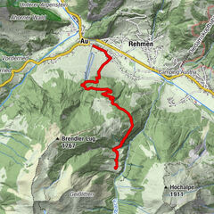
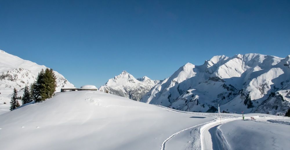
The blue local bus Lech takes you comfortably to Oberlech to the bus stop Schlössle. At the bus turning point, you continue along the street towards the centre of Oberlech. Before Schlössle Oberlech turn right and follow the road uphill. Good winter shoes and warm winter clothing are important. Follow the road uphill and after about 5 minutes you will reach the Skyspace on the right hand side. In the Skyspace Lech one should stay at least 30 minutes, in order to absorb the work of art fully in itself. The visit should therefore take place without stress and hectic, deceleration and inner contemplation are the focus of this tour. After the visit, we recommend to walk around the Skyspace Lech and to see this building from every perspective.Back to the bus stop we take the same way again.
- Highest point
- 1,768 m
- Endpoint
-
Skyspace
- Height profile
-

- Equipment
-
Good warm footwear (ankle high, profile sole), warm winter clothesl, gloves, hat, backpack
- Safety instructions
- Tips
-
After visiting the Skyspace, you can stop at one of the restaurants in Oberlech.
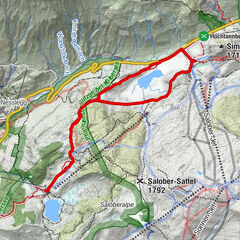
Alternatively, you can take the winter hiking trail back to Lech.
- Additional information
- Directions
-
From Germany: Take the A96 motorway to Bregenz from there on the A14 motorway to Bludenz, continue on the S16 to the Lech Zürs am Arlberg exit. Follow the B197 up to Alpe Rauz, turn left here onto the B198 through Flexengalerie and over the Flexenpass to Lech Zürs am Arlberg.
From Switzerland: Via the A13 motorway and the Feldkirch, Hohenems or Lustenau border crossing on the A14 motorway to Bludenz. Continue on the S16 until exit Lech Zürs am Arlberg. Follow the B197 up to Alpe Rauz, turn left here onto the B198 through Flexengalerie and over the Flexenpass to Lech Zürs am Arlberg.
From Austria: Via the Inntalautobahn A12 and then via the S16 to the exit St. Anton am Arlberg (Arlberg Pass). Follow the B197 first through St. Anton, then through St. Christoph and over the Arlbergpass to Alpe Rauz. Turn right here onto the B198, drive through Flexengalerie and over the Flexenpass to Lech Zürs am Arlberg.
- Public transportation
-
By train to Langen am Arlberg station or St. Anton am Arlberg. From there, buses (No. 750+760) run regularly to Lech Zürs am Arlberg.
- Parking
-
You can either park your vehicle directly at your host or park it in the underground garage in Anger. The underground car park is located directly in the centre of town opposite Raiffeisenbank Lech.


-

-
AuthorThe tour From Schlössle in Oberlech to the Skyspace is used by outdooractive.com provided.