
- Brief description
-
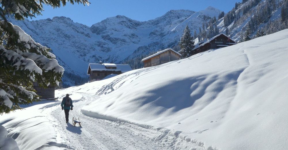
Walk up, toboggan down –
- Difficulty
-
medium
- Rating
-
- Starting point
-
Gemeindeamt Au / Tourist Office
- Route
-
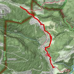
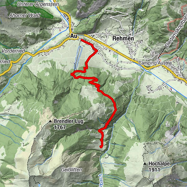
Au (800 m)Argenau0.4 kmBodenvorsäß (1,215 m)5.5 kmBergkristallhütte (1,250 m)5.7 kmArgenau10.8 kmAu (800 m)11.1 km
- Best season
-
AugSepOctNovDecJanFebMarAprMayJunJul
- Description
-
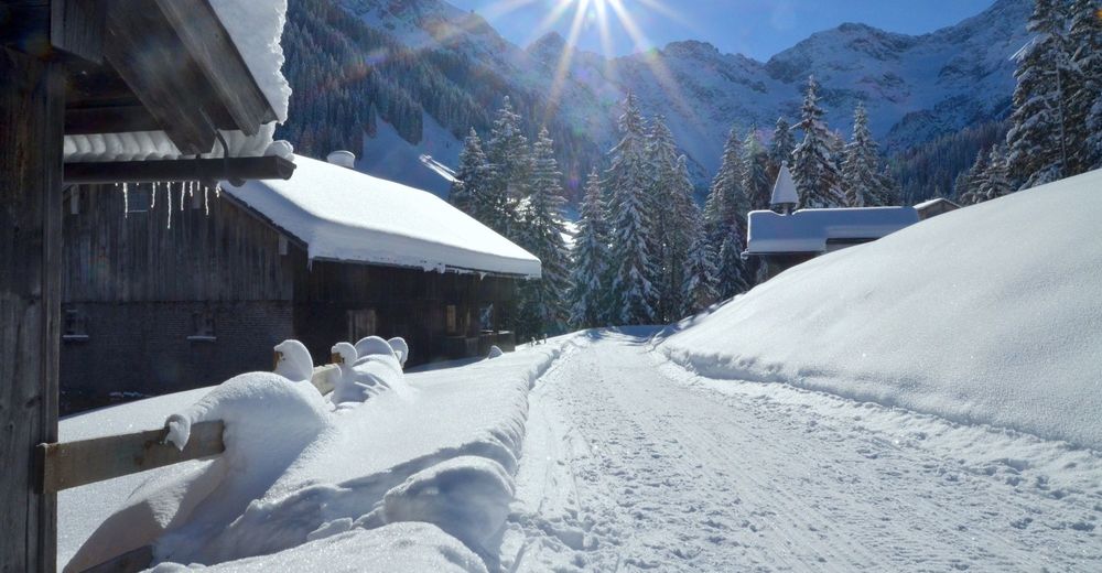
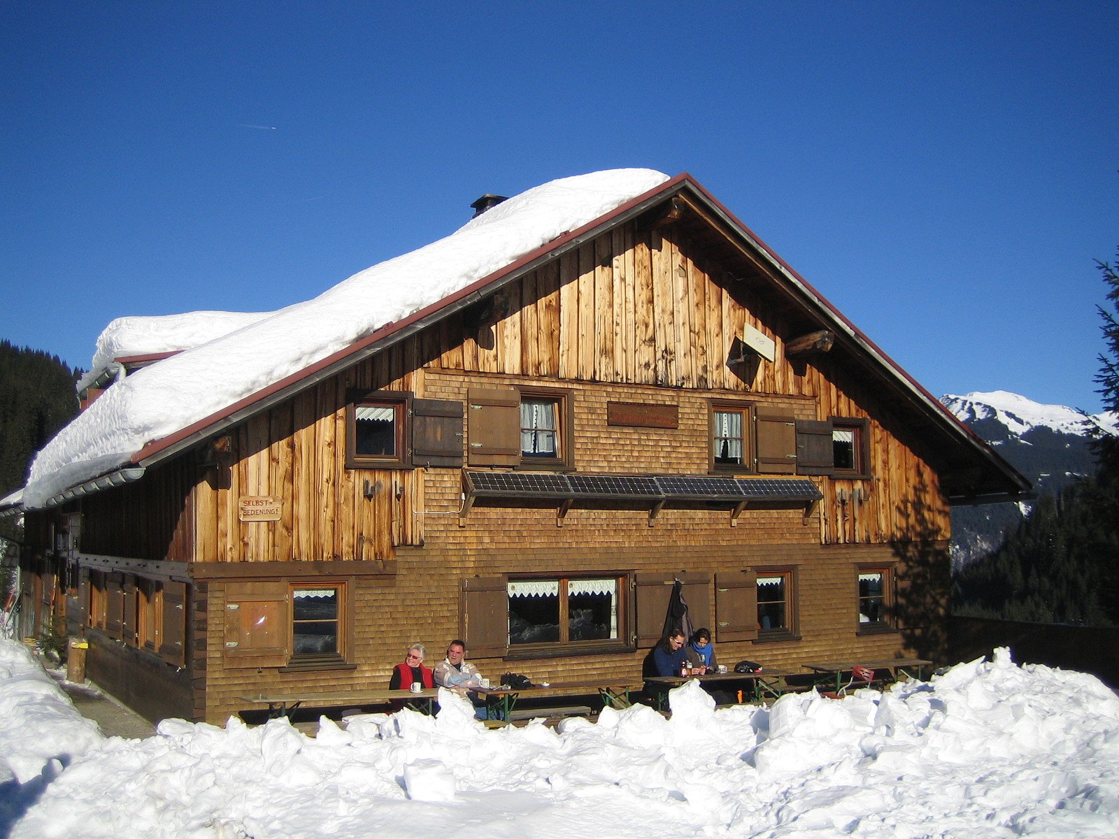
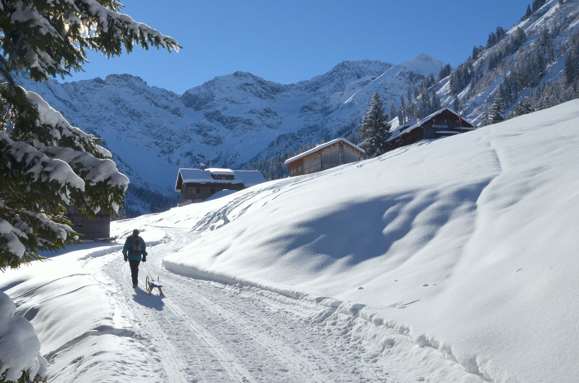
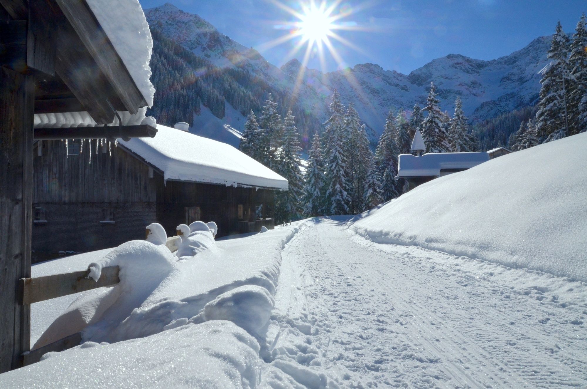
From Au (800 m), a perfectly Prepared path takes you along thenorthern edge of the Lug, mainly through a forest, up into the Dürrenbachtalto the idyllically located Boden mountain pasture.This is also the location of the Bergkristall hut located at an altitude of over 1,200 m. This tranquil, beautiful mountain valley is surrounded by the impressive, steeply rising rock massifs of the Zitterklapfenstock (2,403 m). You descend the same way.When the conditions are right, it is a good idea to take along a sledge for the descent into the valley.starting point Au, village hall culture on the route. The Boden mountain pasture, at an altitude of 1,200 m, is a rural settlement with a chapel. The land is collective property, whereas the huts are private property. This is where the farmers come with their cattle for several weeks before and after the summer. The Boden mountain pasture is one of the largest alpine dairy pastures in the Bregenzerwald. Characteristic.
- Directions
-
Winter hiking paths throughout the whole of the Bregenzerwald are clearly signposted in an easily visible pink.
- Highest point
- 1,235 m
- Endpoint
-
Gemeindeamt Au /Tourist Office
- Height profile
-

- Safety instructions
-
Please contact the tourist information office in Au-Schoppernau for the opening times of the Bergkristall hut and the conditions for sledging.
T +43 (0)5515 2288 - Tips
-
Rewarding hike in a tranquil, remote mountain valley chances to stop off for a drink/food Au, Bergkristall hut (monday closed)
- Public transportation
- Parking
-
Gemeindeamt Au / Tourist Office

-

-
AuthorThe tour Au-Schoppernau | Bergkristall hut is used by outdooractive.com provided.


General info
-
Bregenzerwald
171
-
Au - Schoppernau
82