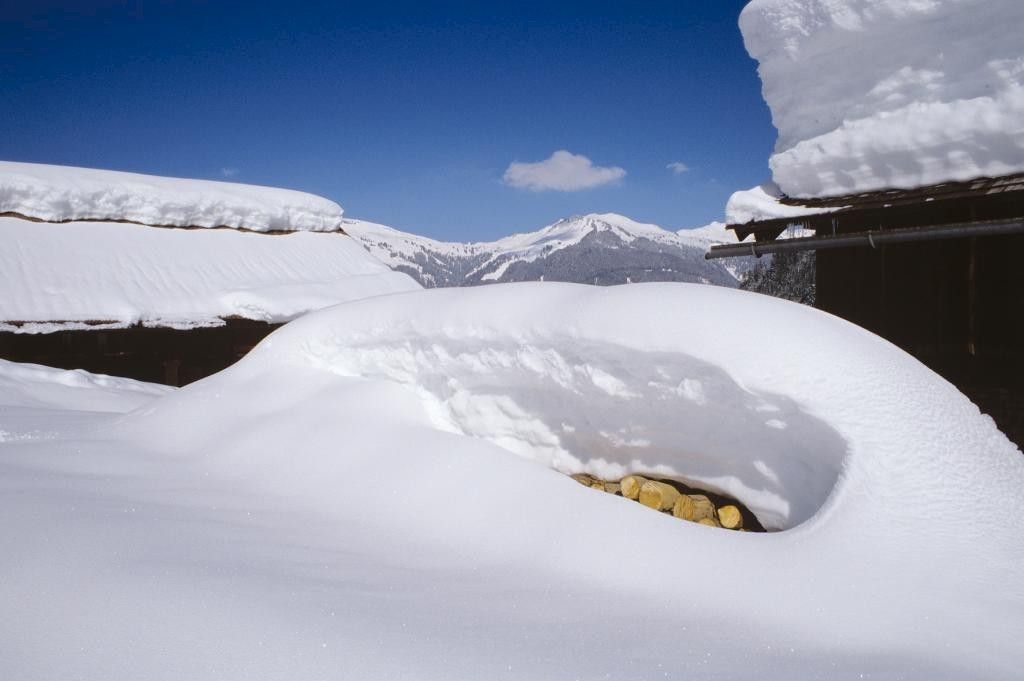
© Au-Schoppernau Tourismus - Emanuel Sutterlüty

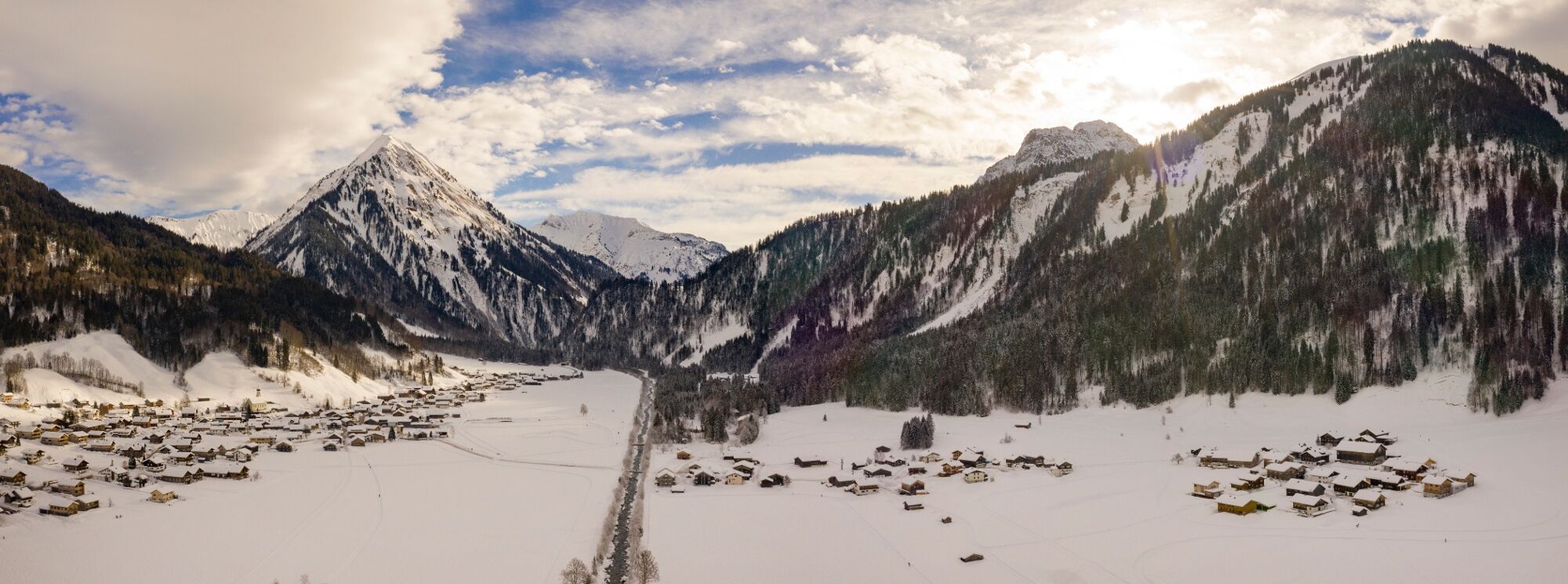
© Au-Schoppernau Tourismus - Emanuel Sutterlüty

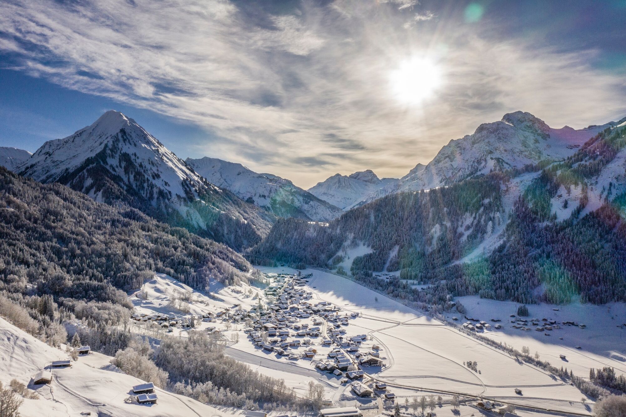
© Au-Schoppernau Tourismus - Emanuel Sutterlüty

- Brief description
-
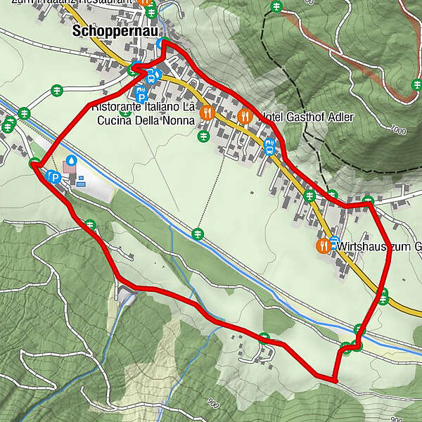
Gemeindezentrum Schoppernau - Gräsalp - Vorsäß Armengemach - Gschwend - zurück zum Ausgangspunkt
- Difficulty
-
medium
- Rating
-
- Route
-
Tresoli2.7 kmHotel Gasthof Adler2.8 kmSt. Philippus & Jakobus3.1 kmSchoppernau (852 m)3.3 km
- Best season
-
AugSepOctNovDecJanFebMarAprMayJunJul
- Highest point
- 866 m
- Endpoint
-
Armengemach
- Height profile
-

-

-
AuthorThe tour Au-Schoppernau | Armengemach is used by outdooractive.com provided.
GPS Downloads


General info
Refreshment stop
Other tours in the regions
-
Bregenzerwald
169
-
Au - Schoppernau
82