


- Brief description
-
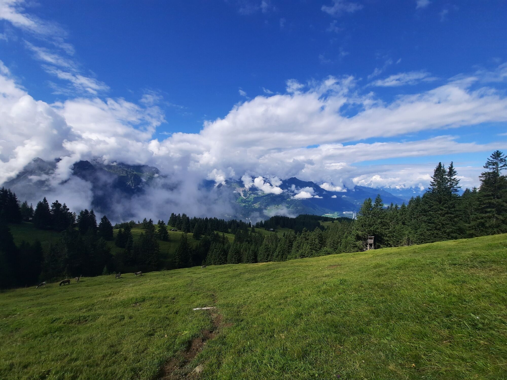
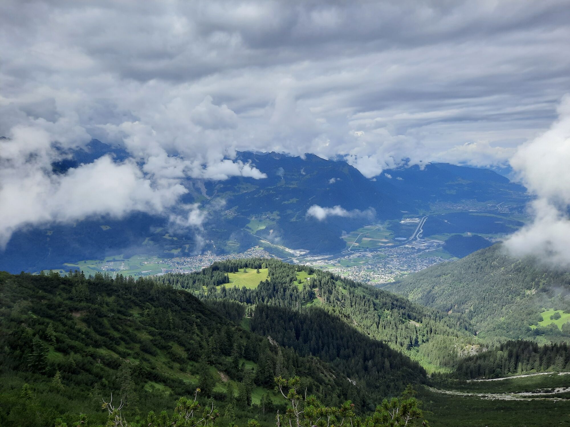
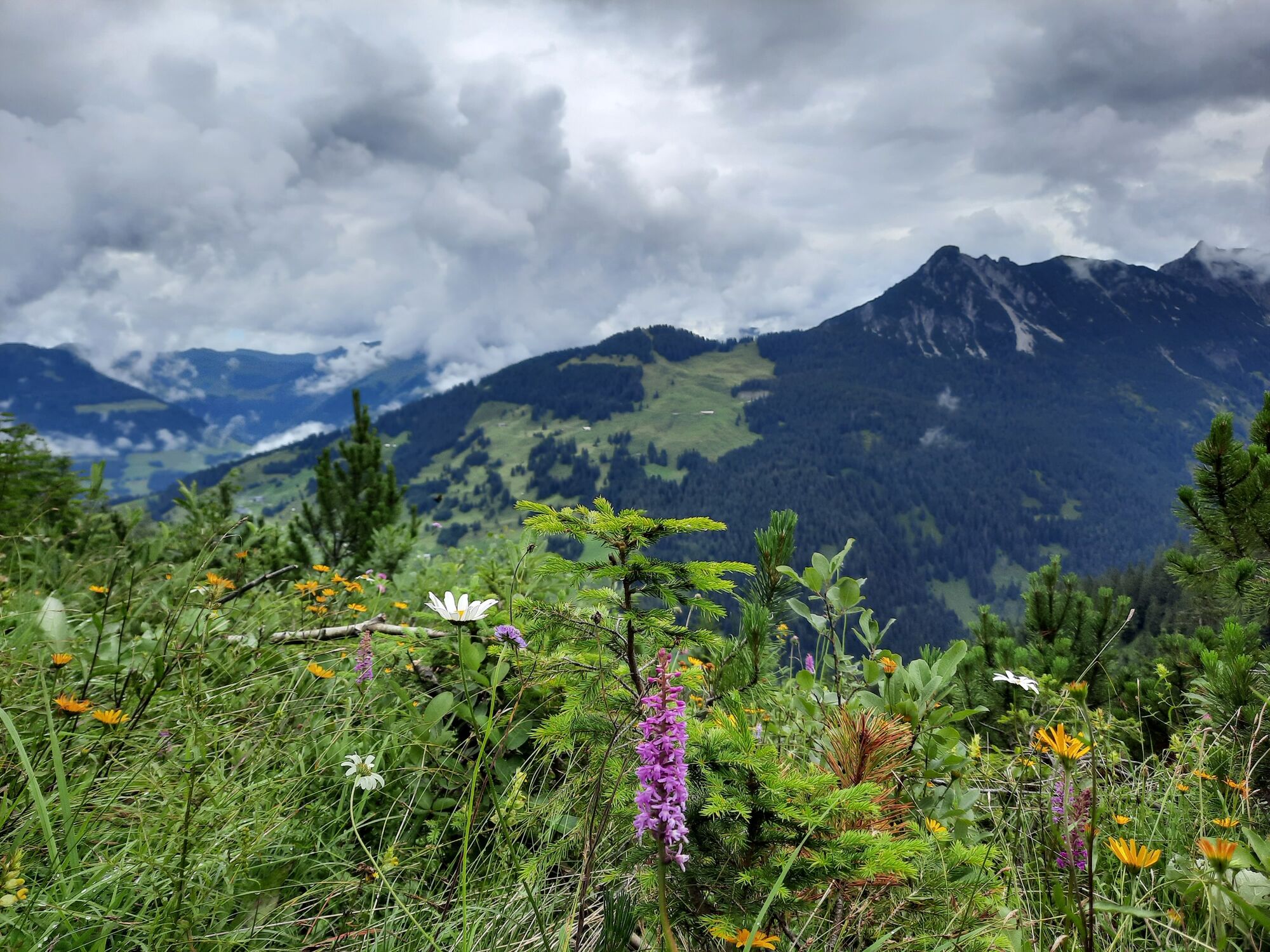
Challenging hike with tremendous views down into the Walgau and Klostertal valley.
- Difficulty
-
medium
- Rating
-
- Starting point
-
Muttersberg Cable Car valley station, Bludenz
- Route
-
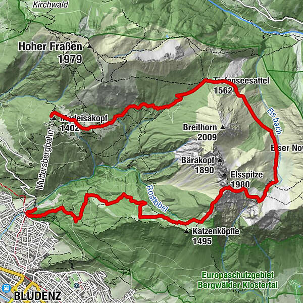
Bludenz0.4 kmFurkla4.3 kmEls Alpe7.1 kmTiefenseesattel (1,562 m)9.2 kmMuttersberg12.3 kmMadeisakopf (1,402 m)13.0 km
- Best season
-
JanFebMarAprMayJunJulAugSepOctNovDec
- Description
-
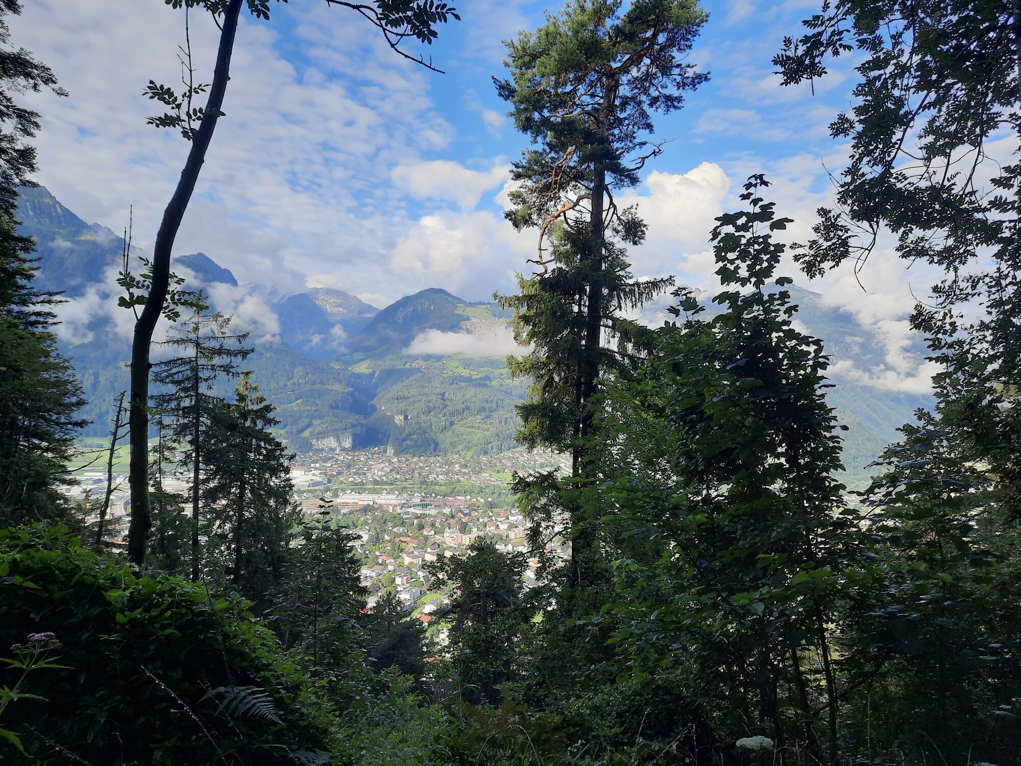
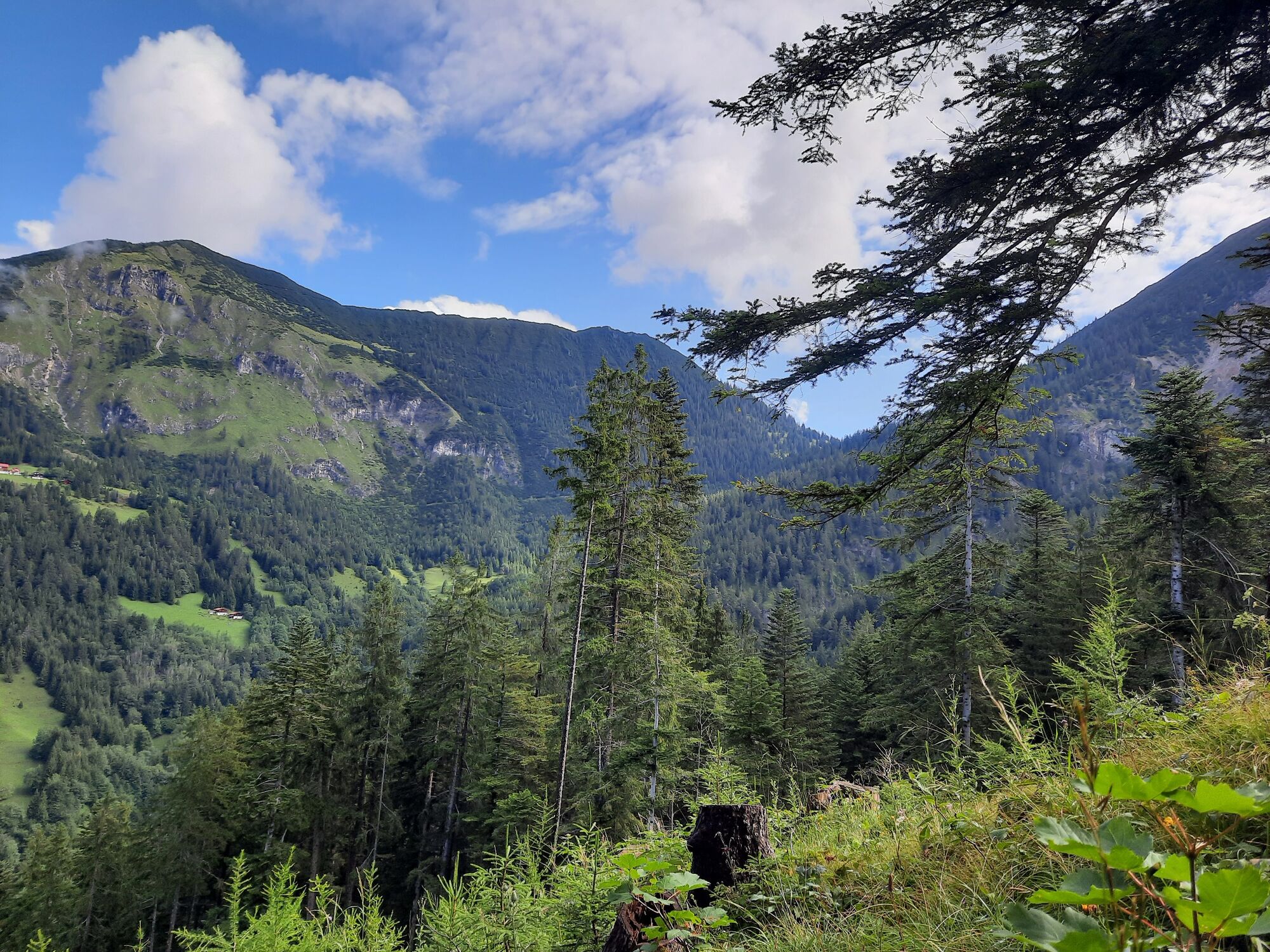
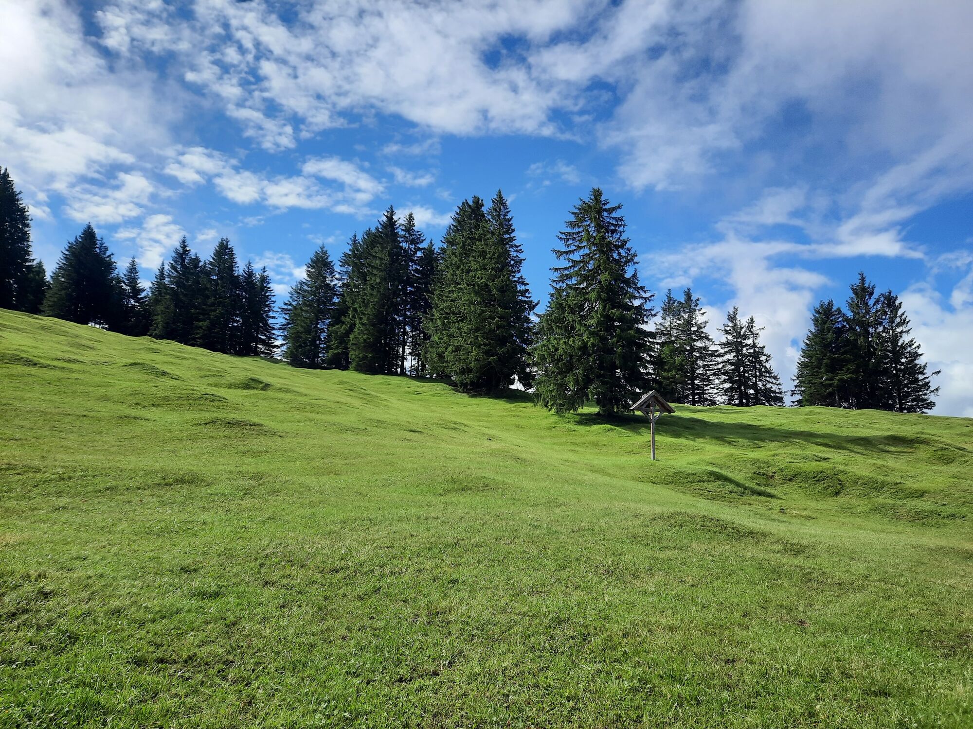
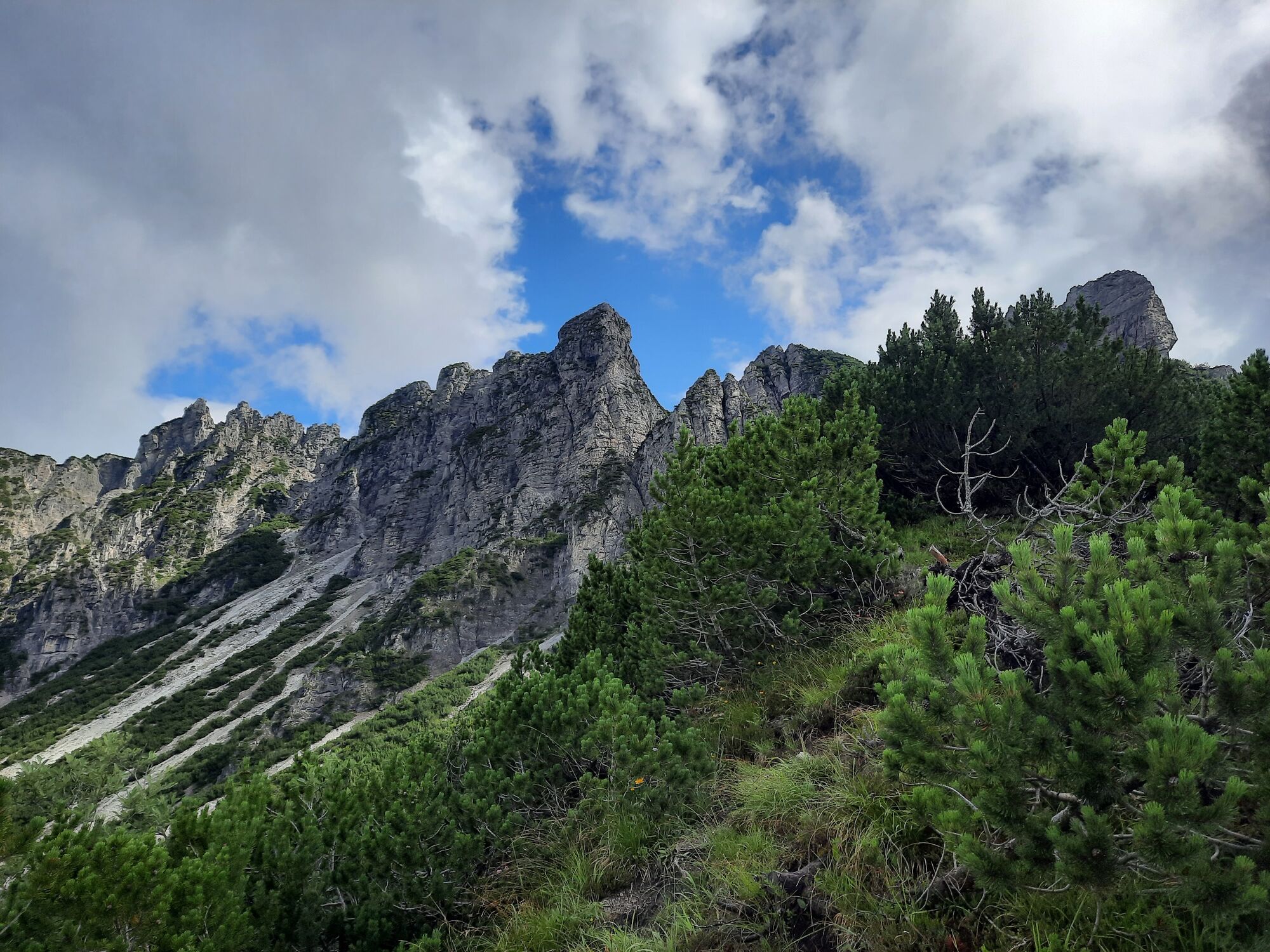
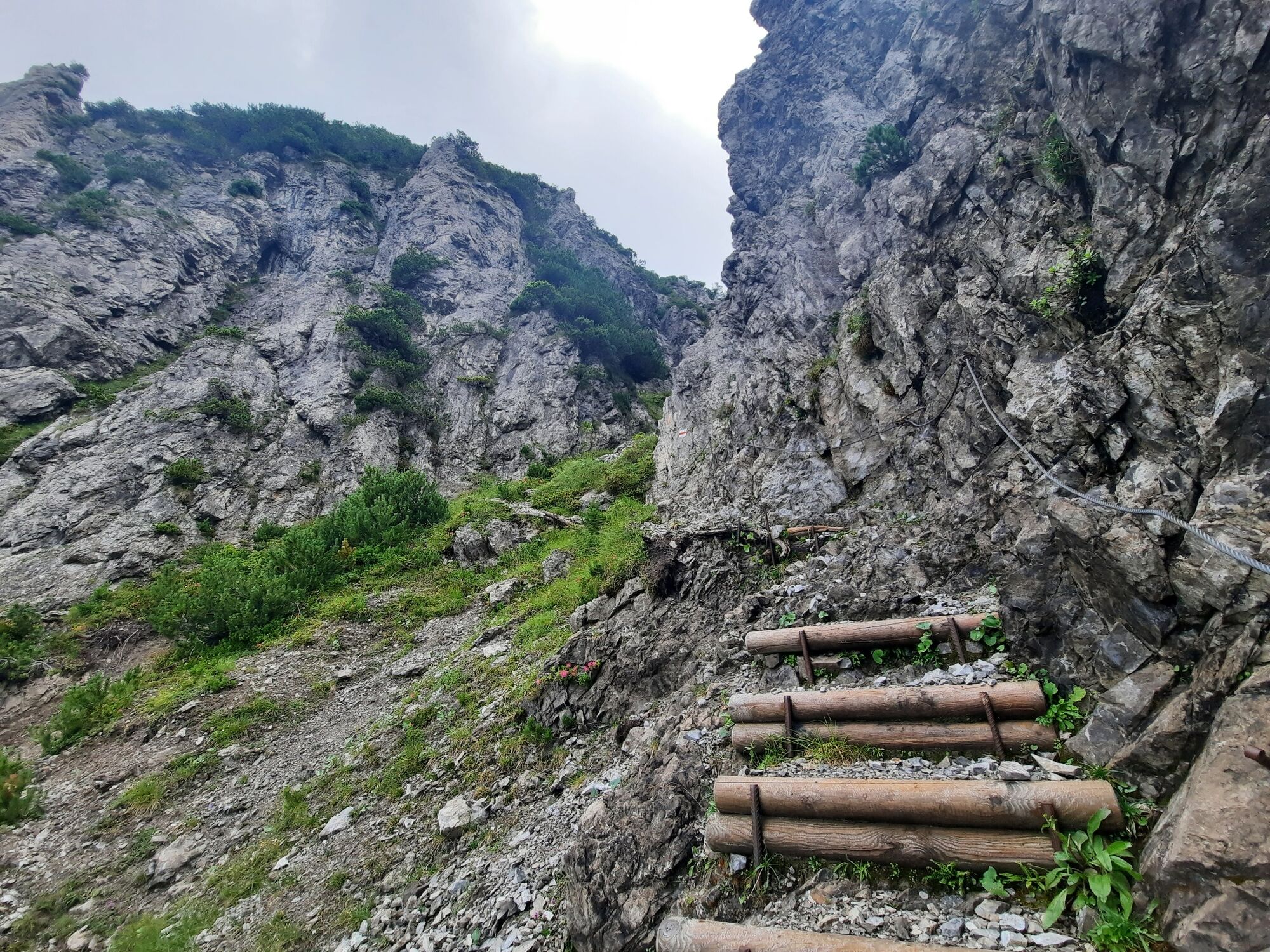
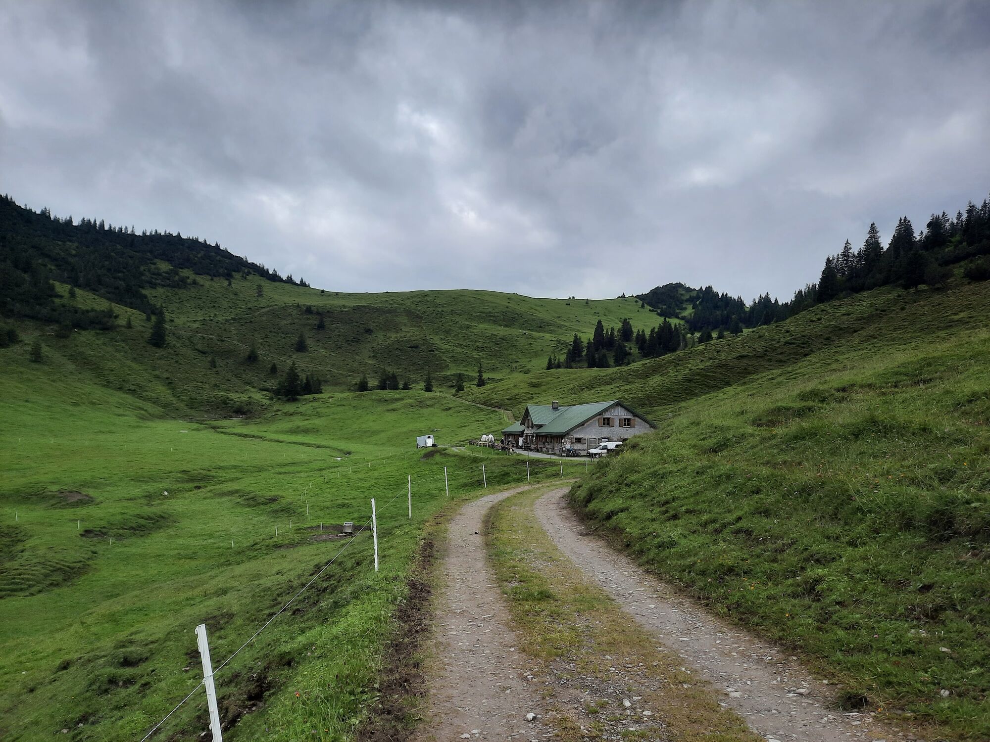
The start of this tour is the valley station of the Muttersberg cable car. From here, descend briefly to the moated castle and turn left there. After a short stretch in the forest, the hiking trail branches off in the direction of Untere and Obere Furkla. The path now always leads through the forest and across lush flower meadows up to the Obere Furkla. On the Obere Furkla a sensational view opens up in the direction of Bludenz, Walgau and Rätikon. From here, continue uphill over a rather steep grassy slope towards Elser Fürkele. The grassy slope now turns into more rugged and rocky terrain and leads up to the Elser Fürkele via a steep path. From Elser Fürkele, the path leads across alpine pastures down to Alpe Els. During the summer months it is worthwhile to stop at the Alpe Els. From Alpe Els follow the forest road in the direction of Tiefenseesattel. A short stretch can be shortened via a footpath before the tour leads back via the road directly to the mountain station of the Muttersberg cable car. The Muttersberg cable car then takes you comfortably back down into the valley to the starting point.
- Directions
-
Muttersberg cable car valley station - moated castle - forest & meadow path in the direction of Obere Furkla - Obere Furkla - trail in the direction of Elser Fürkele - Elser Fürkele - Alpe Els - goods path in the direction of Tiefenseesattel - Tiefenseesattel - hiking trail or goods path - Muttersberg cable car mountain station - descent with the Muttersberg cable car - Muttersberg cable car valley station.
- Highest point
- 1,837 m
- Endpoint
-
Muttersberg Cable Car mountain station, Bludenz
- Height profile
-

- Equipment
-
Ankle-high mountain boots with treaded soles, sun and rain protection, snack, filled water bottle and first aid kit. Hiking poles are recommended. Mobile phone in case of emergency.
- Safety instructions
- Tips
-
During the summer months it is worthwhile to stop at the Alpe Els.
- Directions
-
www.maps.google.at
- Public transportation
- Parking
-
Paid parking at the valley station of the Muttersberg cable car

- Author
-
The tour Obere Furkla - Elser Fürkele - Muttersberg | Bludenz is used by outdooractive.com provided.


General info
-
St. Gallen - Bodensee
2065
-
Alpenstadt Bludenz
1847
-
Muttersberg - Bludenz
499


