
- Brief description
-
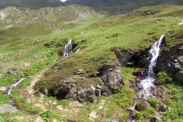
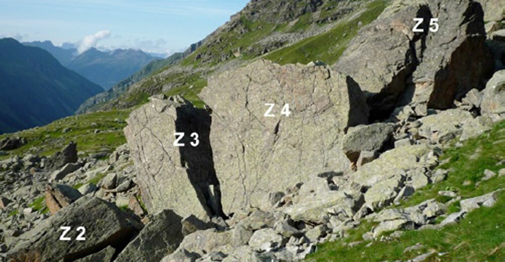
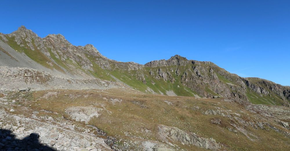
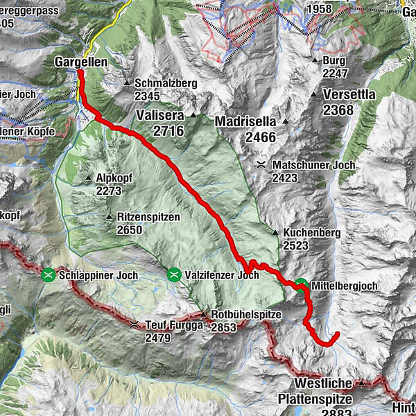
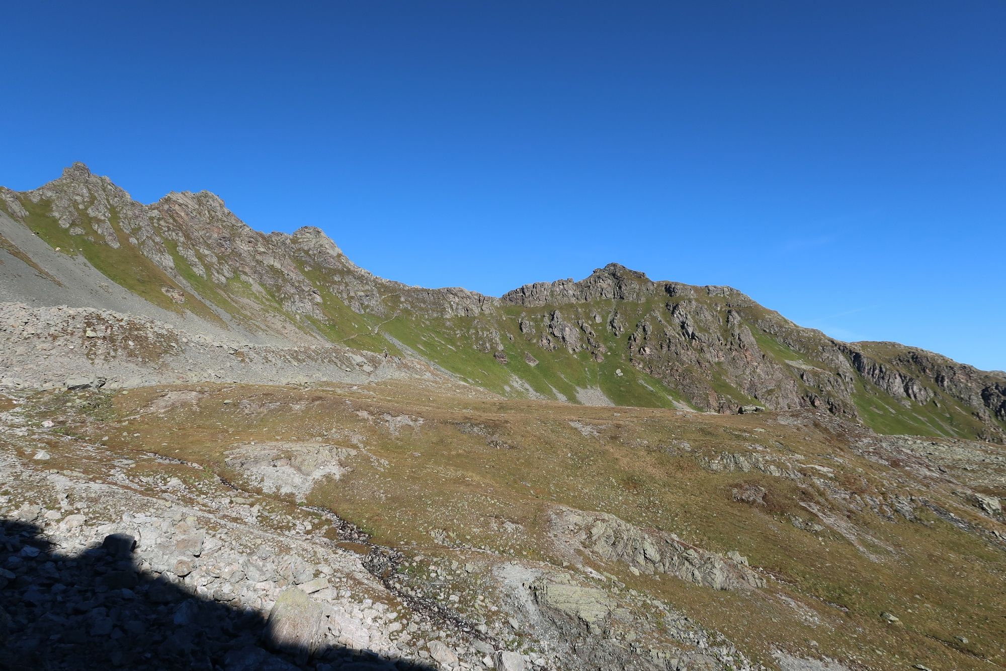
Diese Etappe der Via Alpina führt Dich in hochalpines Gelände. Du gehst die anspruchsvolle Etappe im wunderschönen Silvretta-Gebirge.
- Difficulty
-
difficult
- Rating
-
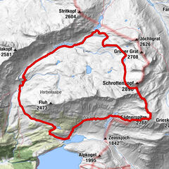
- Route
-
Gargellen0.0 kmRotbühel7.4 kmVergaldner Joch (2,515 m)8.8 kmTübinger Hütte12.0 km
- Best season
-
JanFebMarAprMayJunJulAugSepOctNovDec
- Highest point
- 2,504 m
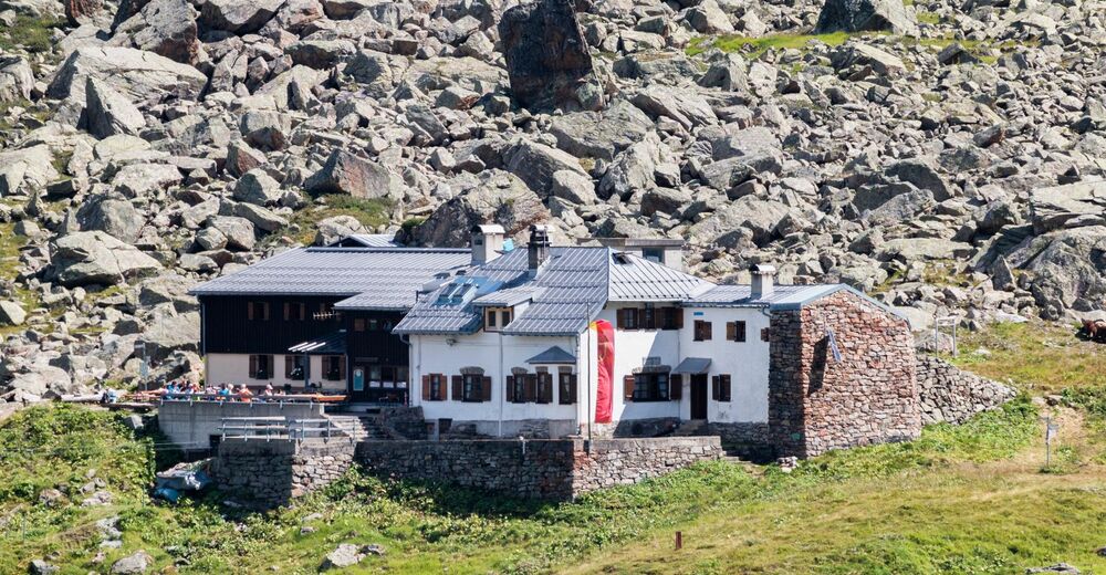
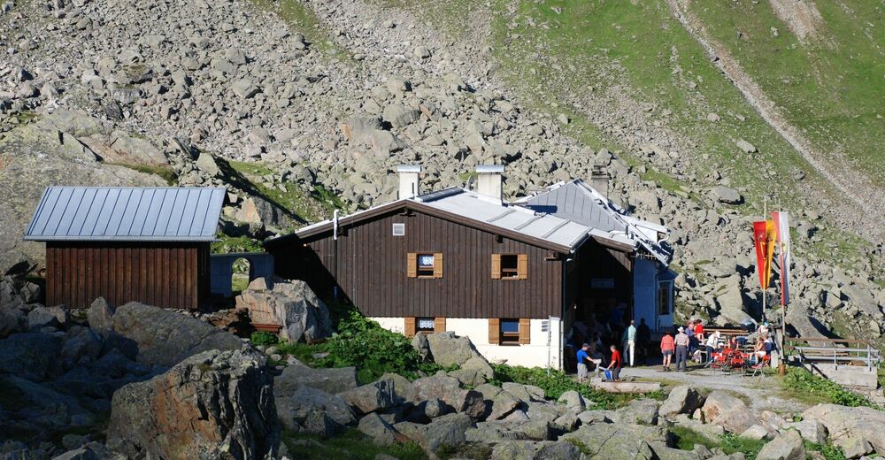
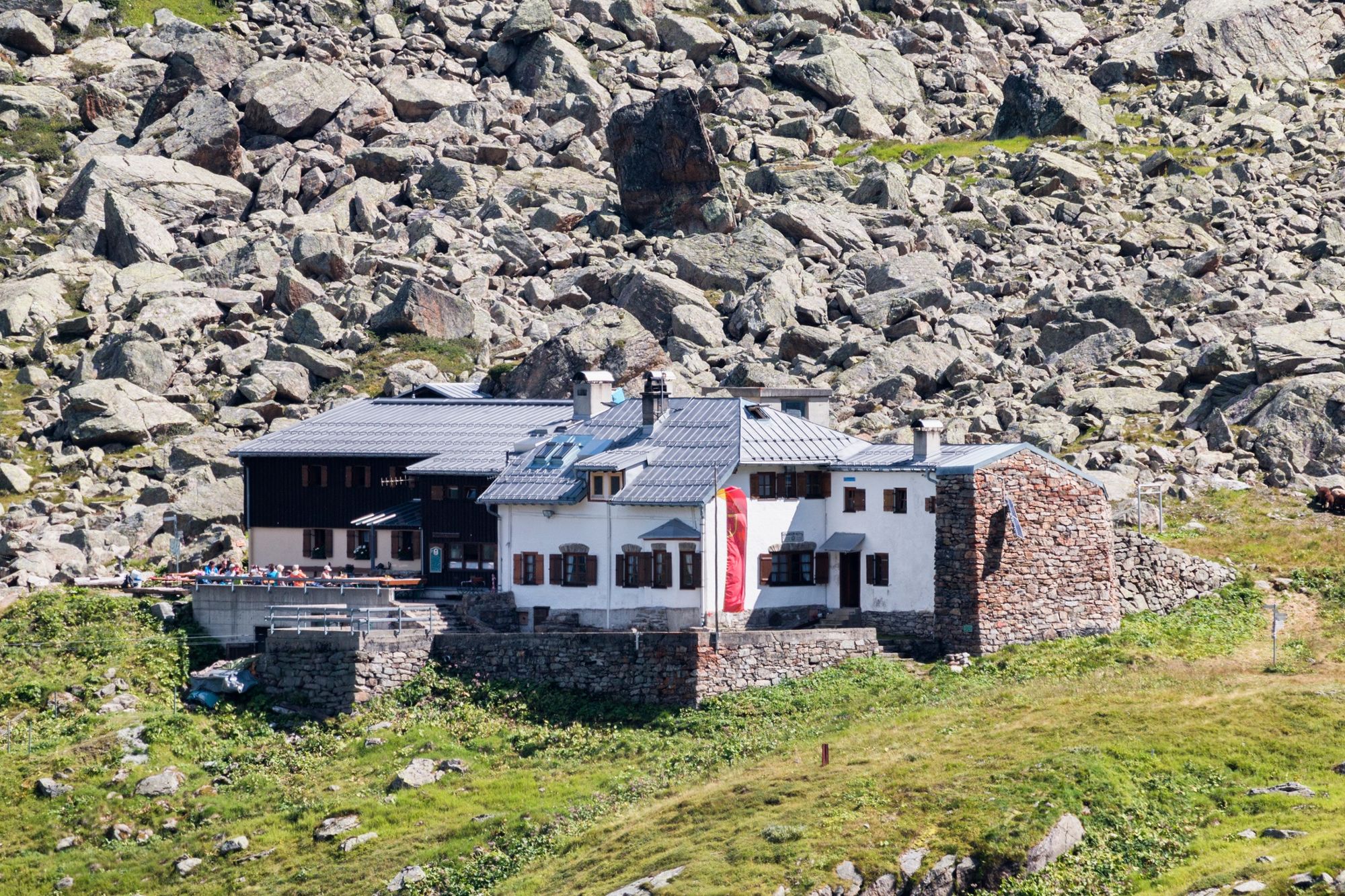
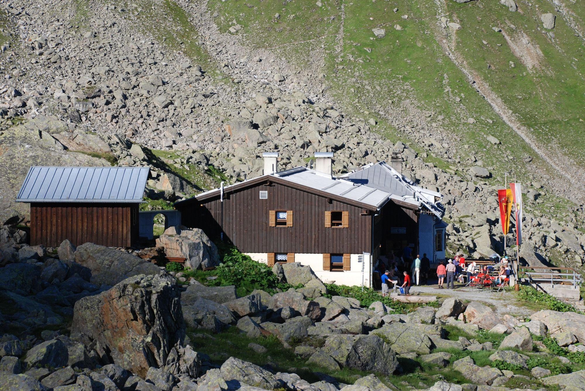
- Endpoint
-
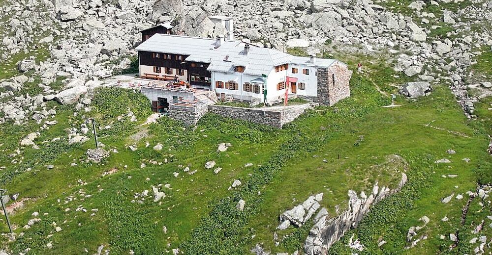
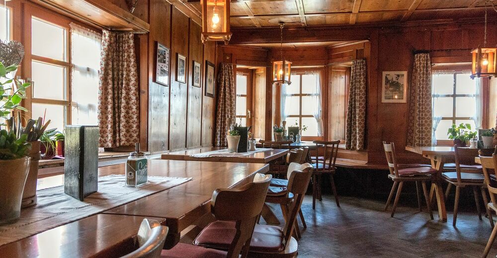
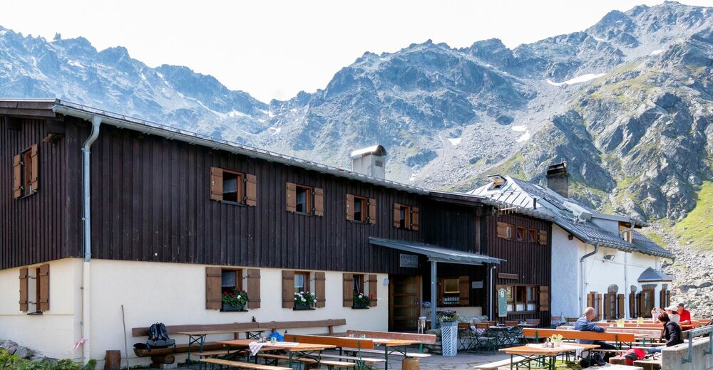
Tübinger Hütte
- Height profile
-


-

-
AuthorThe tour Route planned on January 07, 2019 is used by outdooractive.com provided.
GPS Downloads


General info
Refreshment stop
A lot of view
Other tours in the regions
-
Montafon
1382
-
Gargellen im Montafon
352