

© Bregenzerwald Tourismus - Nadine Lerho

© Bregenzerwald Tourismus - Nadine Lerho

© Bregenzerwald Tourismus - Nadine Lerho

© Bregenzerwald Tourismus - Elisabeth Schneider

© Bregenzerwald Tourismus - Elisabeth Schneider

© Bregenzerwald Tourismus - Nadine Lerho

© Bregenzerwald Tourismus - Cornelia Kriegner

© Bregenzerwald Tourismus - Nadine Lerho

- Brief description
-
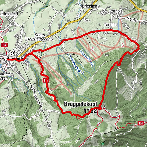
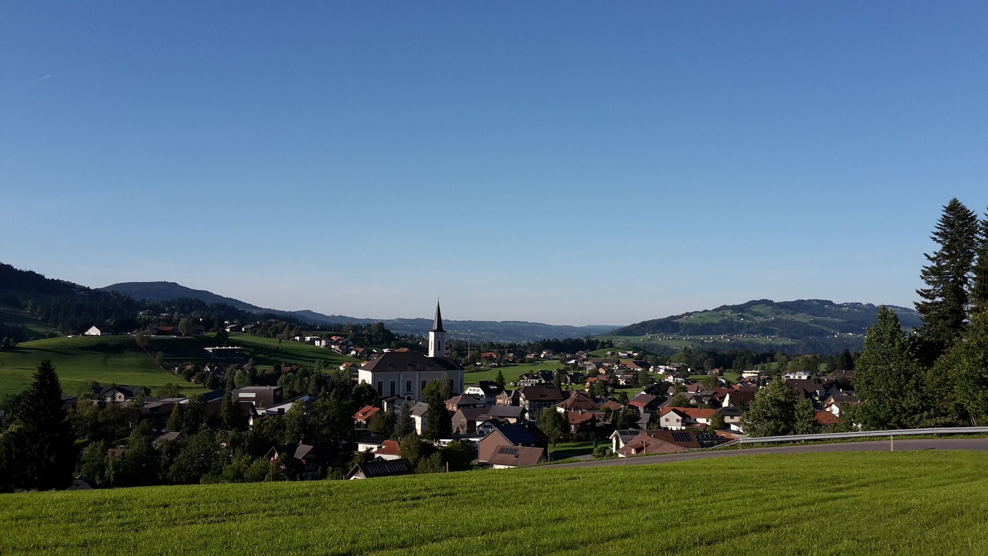
An easy and scenic hike of about 3 hours from Alberschwende village center to Kaltenbrunnen and then up to the Brüggelekopf with its magnificent view.
- Difficulty
-
easy
- Rating
-
- Starting point
-
Alberschwende cable car station
- Route
-
HofAlberschwende0.0 kmWirtshaus zur Taube0.0 kmWendelinkapelle0.1 kmZipfel0.3 kmBühel0.5 kmTannen1.9 kmBrüggelekopf (1,182 m)4.0 kmAlpengasthof Brüggele4.3 kmBühel6.5 kmZipfel6.7 kmWendelinkapelle6.9 kmWirtshaus zur Taube7.0 kmHof7.0 kmAlberschwende7.0 km
- Best season
-
JanFebMarAprMayJunJulAugSepOctNovDec
- Description
-
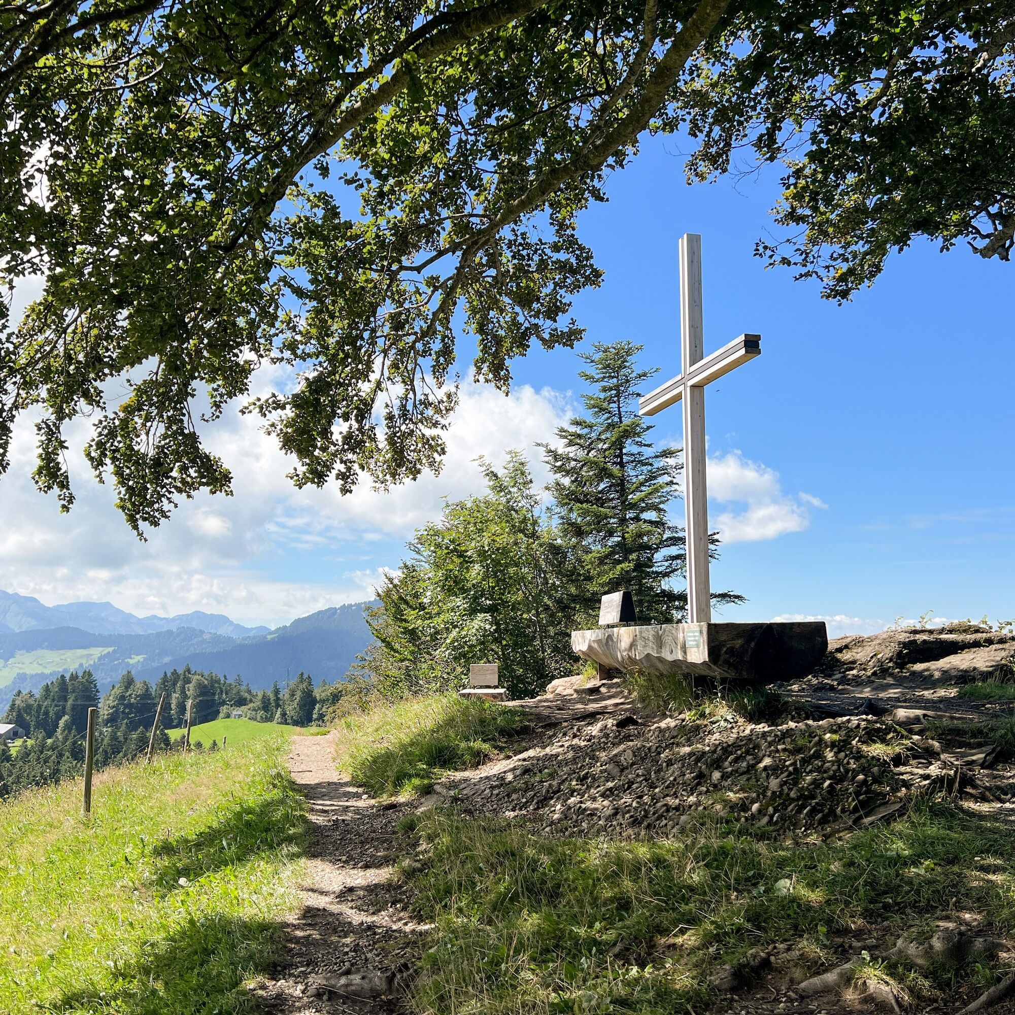
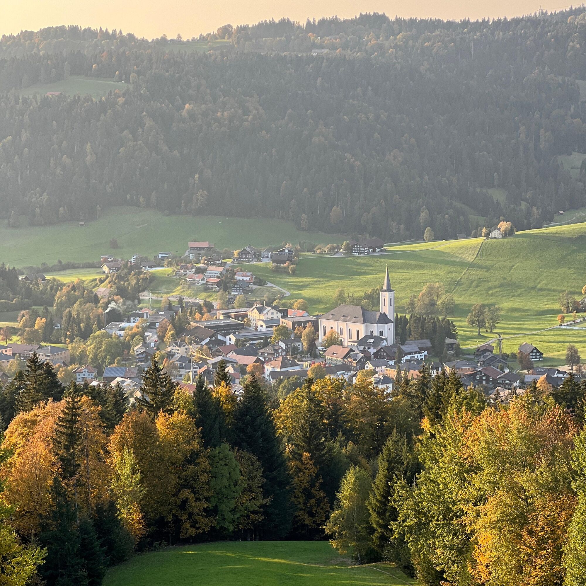
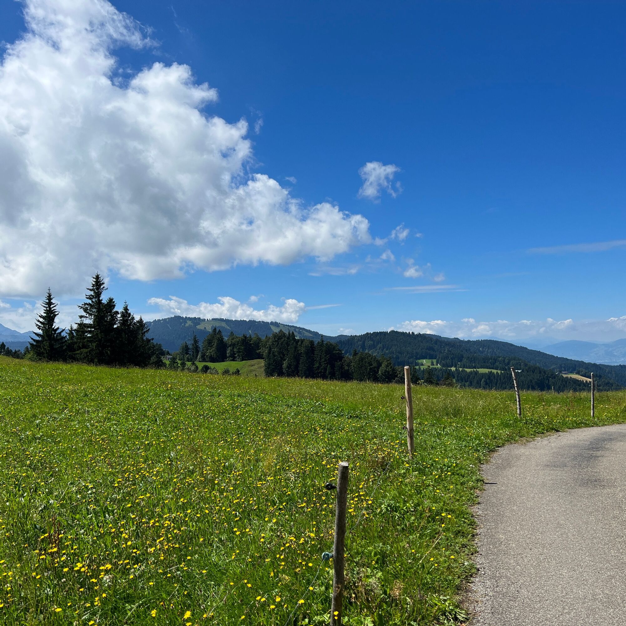
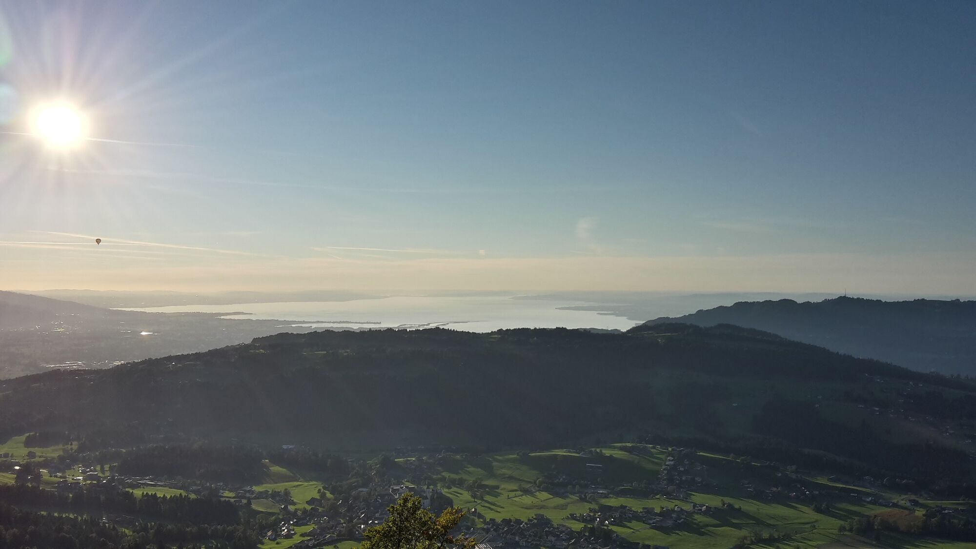
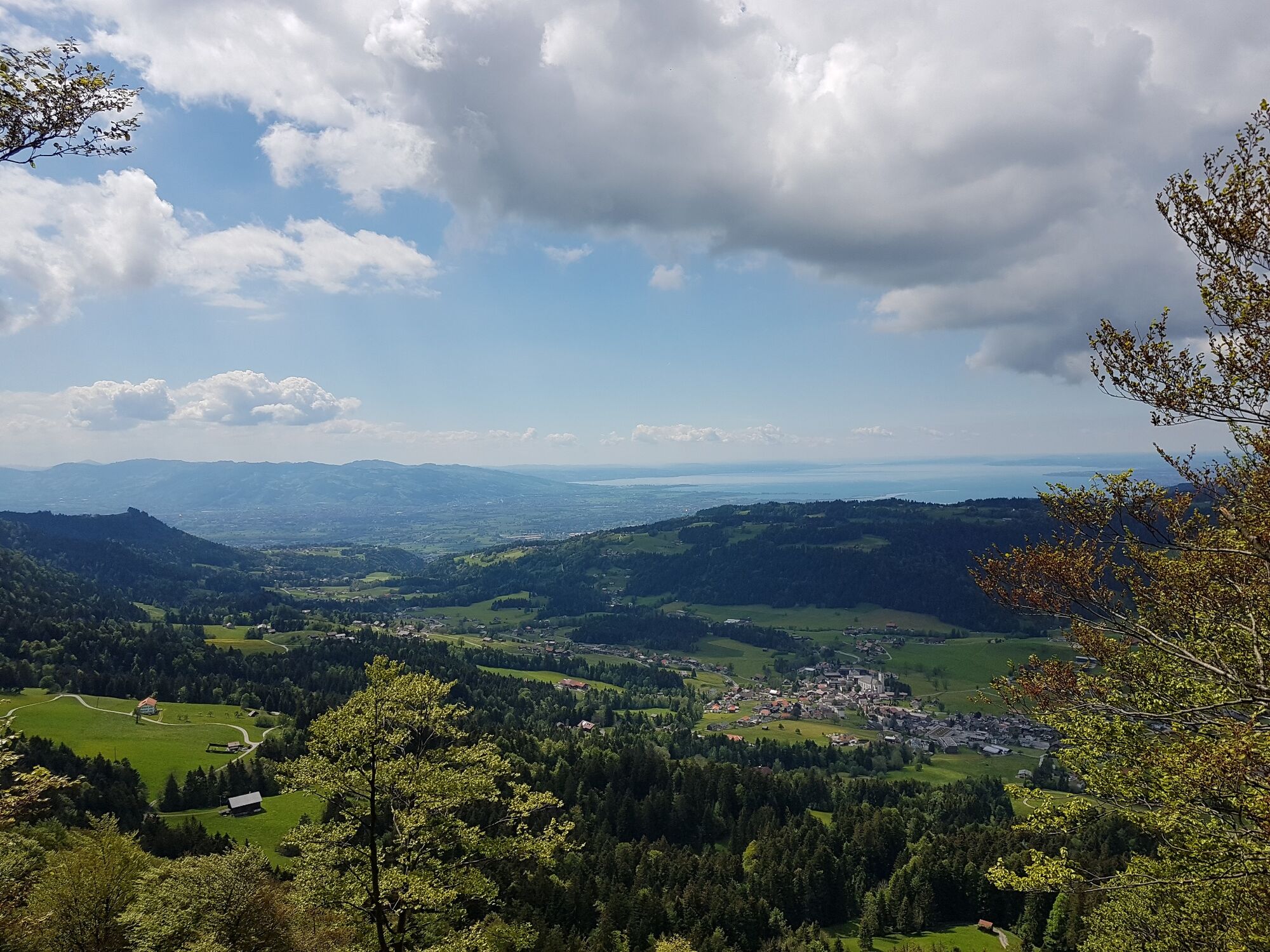
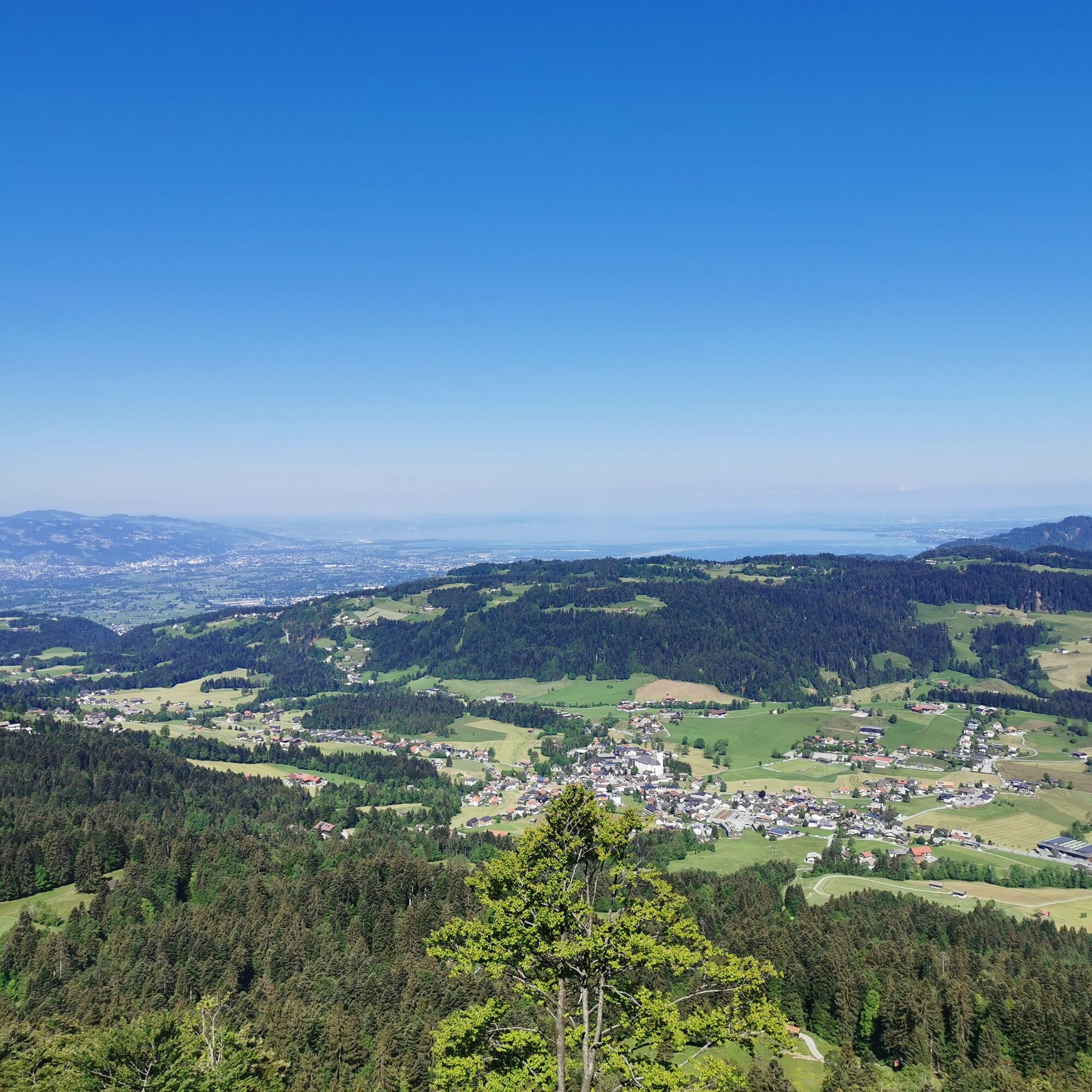
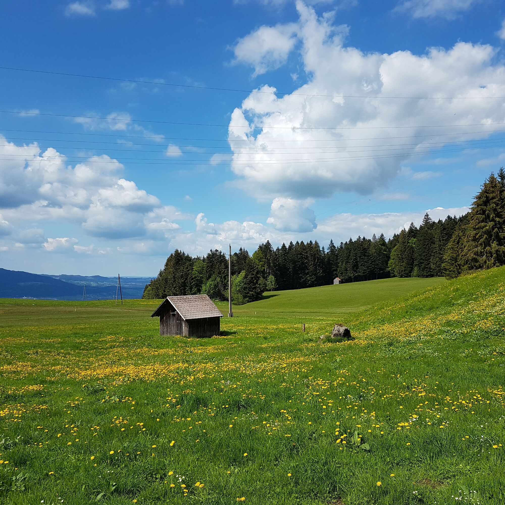
A path full of lovely views takes you to the Tannen plot. From there, an arrow path across the field takes you up to Kaltenbrunnen, where you are rewarded with a fantastic view. At the end of a piece of forest, you reach the alpine area around the Brüggelekopf. You get a magnificent view of Lake Constance from the summit. You return to the valley via cable car.
- Highest point
- 1,177 m
- Endpoint
-
Alberschwende cable car station
- Height profile
-

- Equipment
-
Sturdy, well-soled shoes Raincoat Food and drink Sun screen and sun glasses Current local weather information - Safety instructions
- Author
-
The tour Alberschwende | Brüggelekopf is used by outdooractive.com provided.
GPS Downloads


General info
Refreshment stop
Cultural/Historical
A lot of view
Other tours in the regions
-
St. Gallen - Bodensee
2066
-
Bregenzerwald
2295
-
Alberschwende
576


