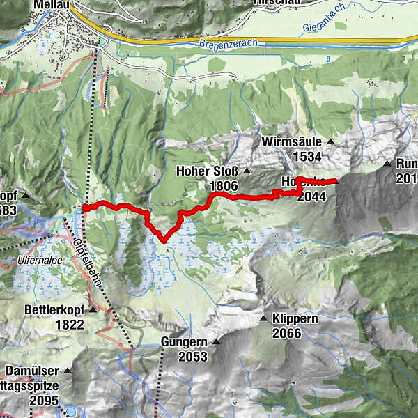
Kanisfluh, 2.044 m

Logo Kanisfluh, 2.044 m
Tour data
4.41km
1,395 - 2,010m
Distance
589hm
589hm
Ascent
03:30h
 
Duration
Brief description

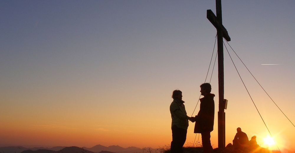
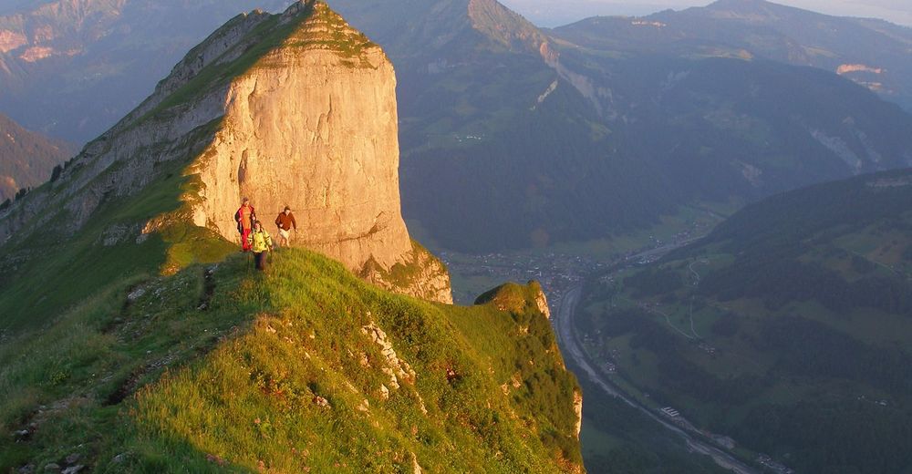
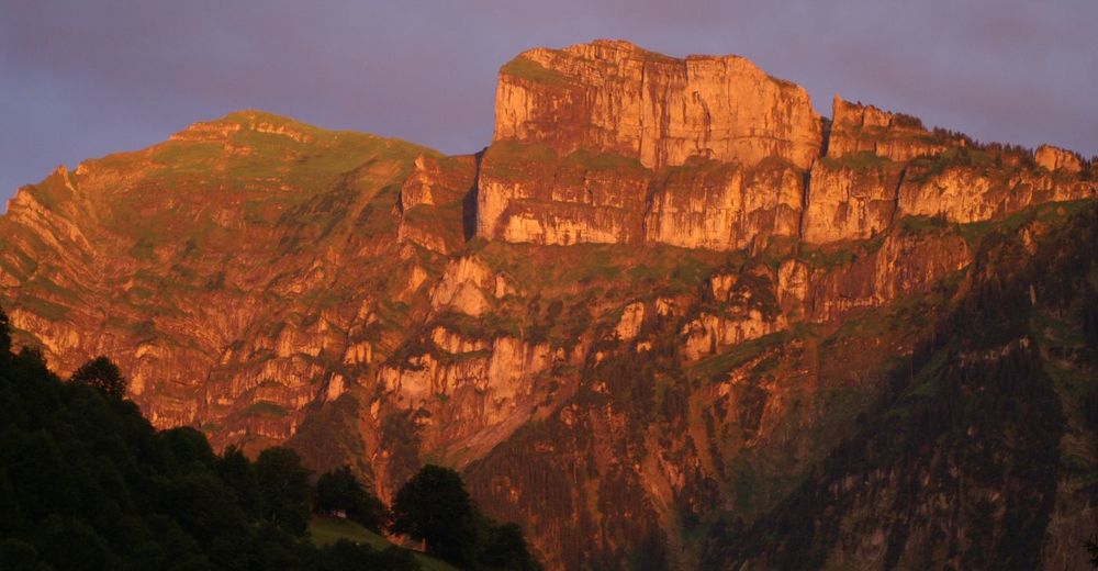
Unterwegs auf einem der schönsten und bekanntesten Aussichtsberge im Bregenzerwald.

Difficulty
medium
Rating
Technique
Fitness
Landscape
Experience
Route
Hehlesattel (1,870 m)
3.9 km

Highest point
2,010 m

3,7
Overall rating

5

44

%

4

22

%

3

0

%

2

22

%

1

11

%

GPS Downloads
  • GPX GPS Exchange Format (XML)
  • KML Google Earth, Google Maps
QR Download Codes for Mobile Phones
Other tours in the regions

Popular tours in the area

Damüls | Auf das Portlahorn

medium Hiking
9.62km | 533hm | 04:05h

Glatthorn

medium Hiking
6.49km | 507hm | 02:30h

Faschina | Rund um's Zafernhorn

medium Hiking
10.09km | 634hm | 04:15h

Rote Wand 2704m

difficult Hiking
13.9km | 1181hm | 06:00h