

Herbert Flatz
Tour data
10.55km
1,450
- 1,790m
500hm
268hm
02:30h
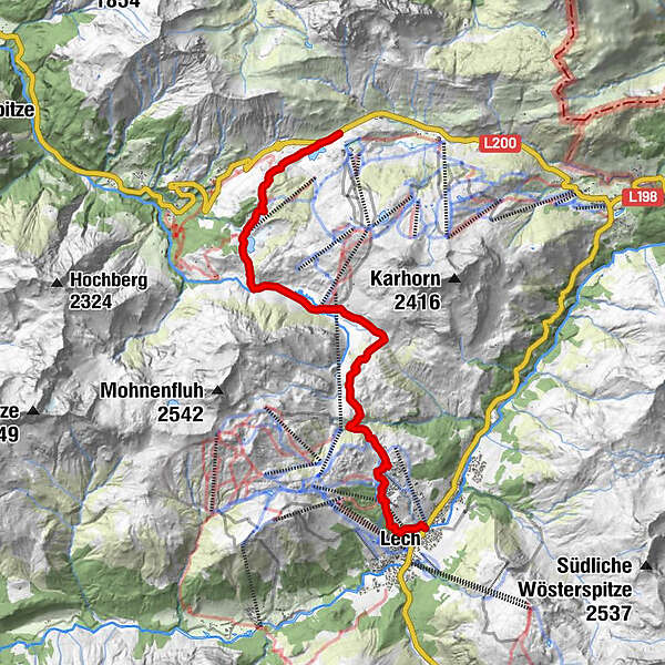
- Difficulty
-
medium
- Rating
-
- Starting point
-
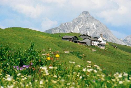
Lech am Arlberg
- Route
-
Lech (1,444 m)0.5 kmBergbahn Lech - Oberlech1.2 kmOberlech1.4 kmÜbungslift Oberlech1.7 kmUntere Auenfeldalpe5.4 km
- Best season
-
JanFebMarAprMayJunJulAugSepOctNovDec
- Highest point
- 1,790 m
GPS Downloads


Trail conditions
Asphalt
Gravel
Meadow
Forest
Rock
Exposed
Other tours in the regions


