


- Brief description
-
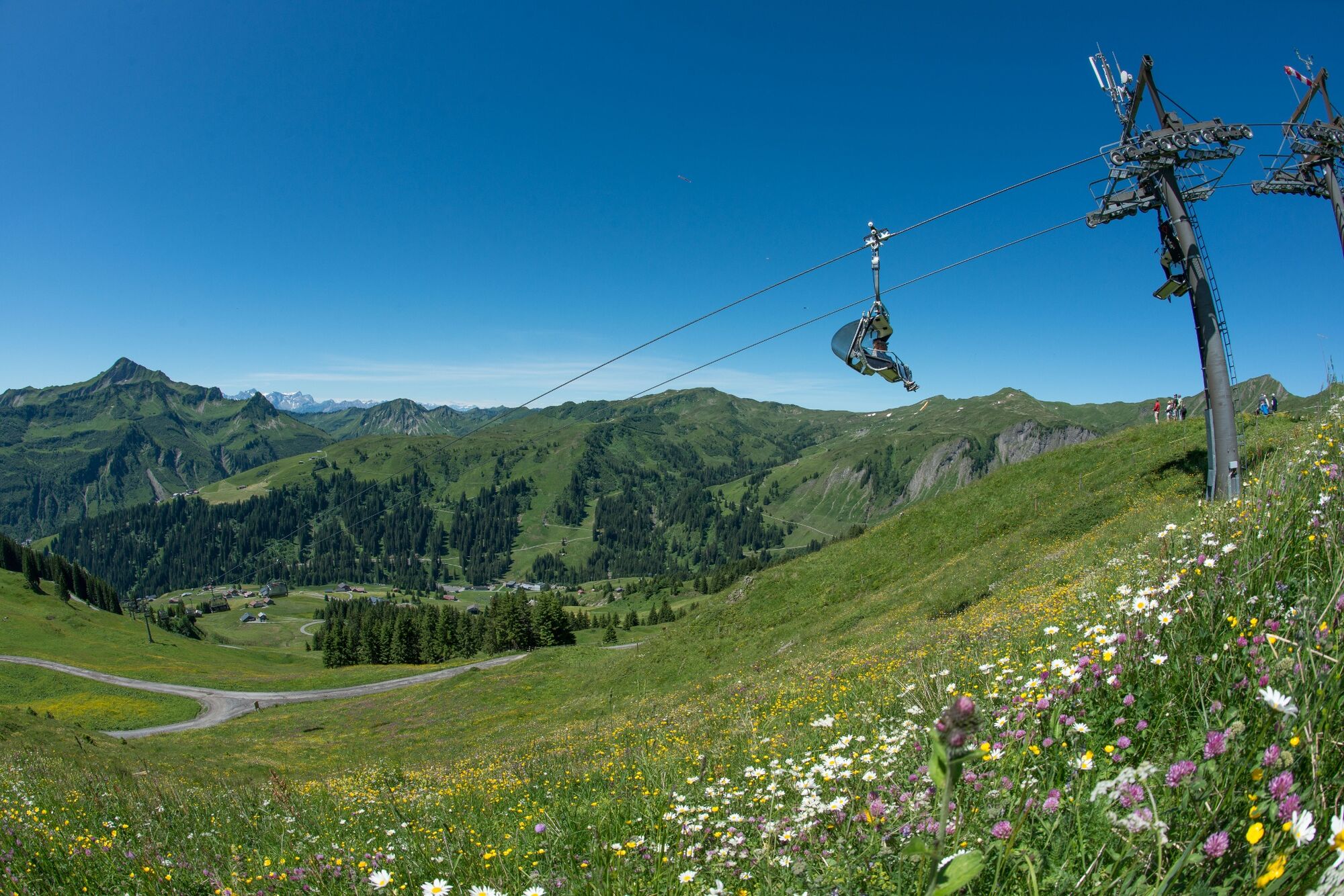
Uga-Express Bergstation - Elsenalp - Uga-Express Talstation
- Difficulty
-
easy
- Rating
-
- Route
-
Vordere Ugaalpe0.2 kmPizzeria da Ingo4.4 km
- Best season
-
JanFebMarAprMayJunJulAugSepOctNovDec
- Highest point
- 1,817 m
- Endpoint
-
Uga-Express Talstation
- Height profile
-


-

-
AuthorThe tour Damüls | Von der Elsenalp ins Tal is used by outdooractive.com provided.
GPS Downloads


General info
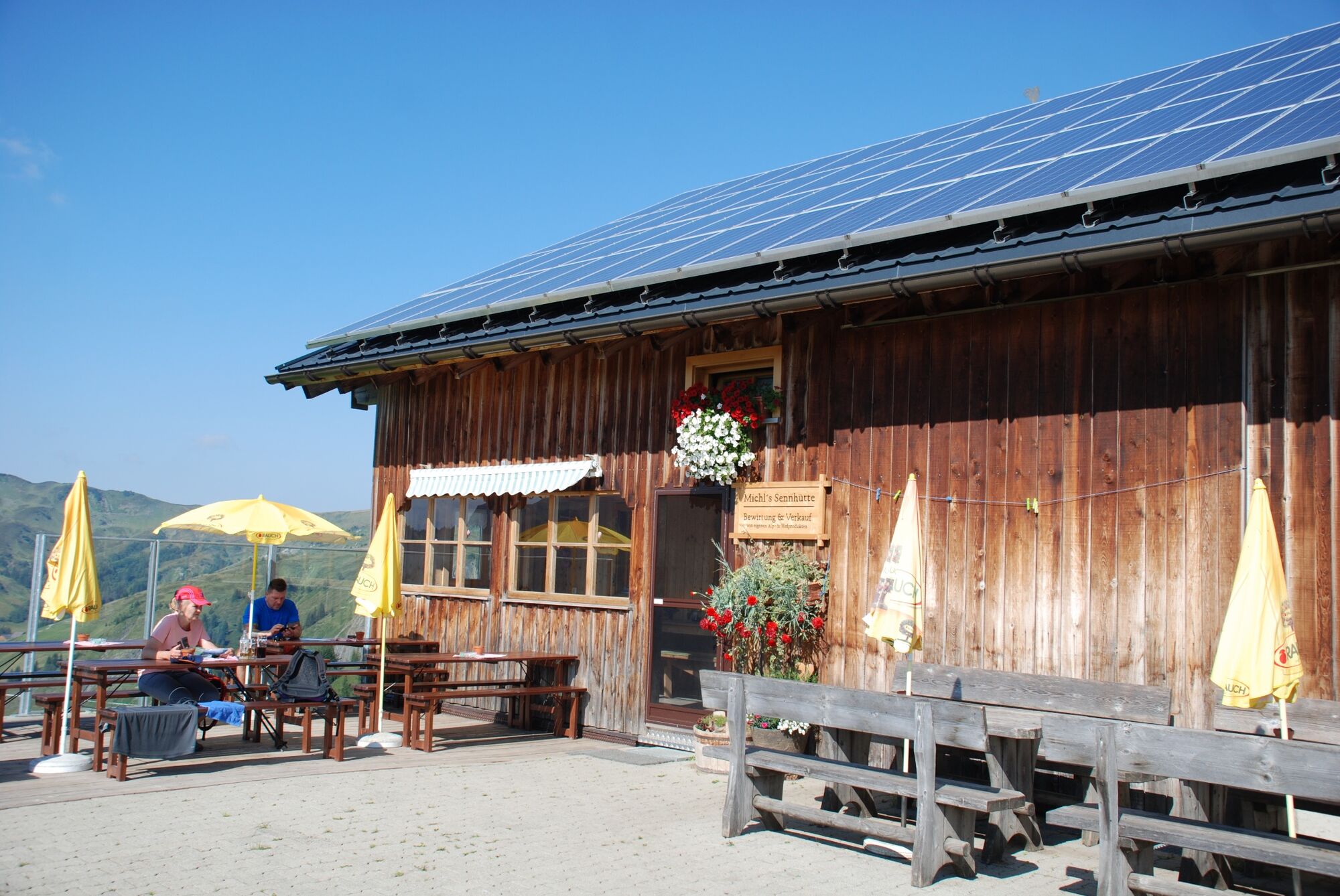
Refreshment stop
A lot of view
Other tours in the regions
-
St. Gallen - Bodensee
2071
-
Biosphärenpark Großes Walsertal
2006
-
Damüls
576


