

© Bregenzerwald Tourismus - Ludwig Berchtold

© Warth-Schröcken Tourismus - Ratko Medienagentur

© KäseStrasse Bregenzerwald - Reinhard A. Lechner

© Unbekannt - Reinhard A. Lechner

© KäseStrasse Bregenzerwald - Caroline Jäger

© KäseStrasse Bregenzerwald - Caroline Jäger

© KäseStrasse Bregenzerwald - Caroline Jäger

© KäseStrasse Bregenzerwald - Caroline Jäger

© KäseStrasse Bregenzerwald - Caroline Jäger

© KäseStrasse Bregenzerwald - Caroline Jäger

- Brief description
-
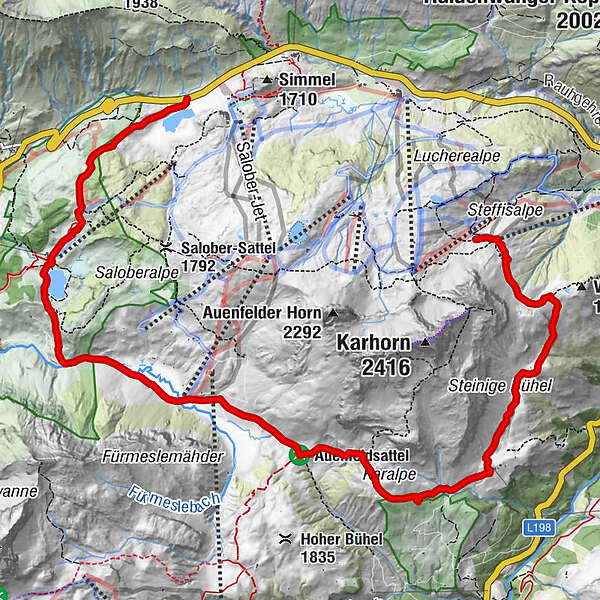
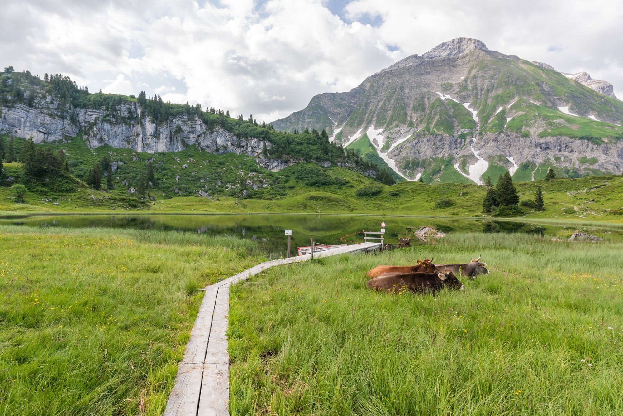
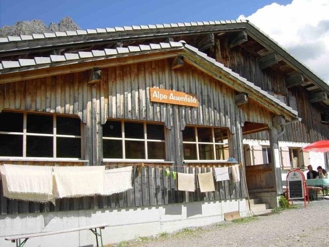
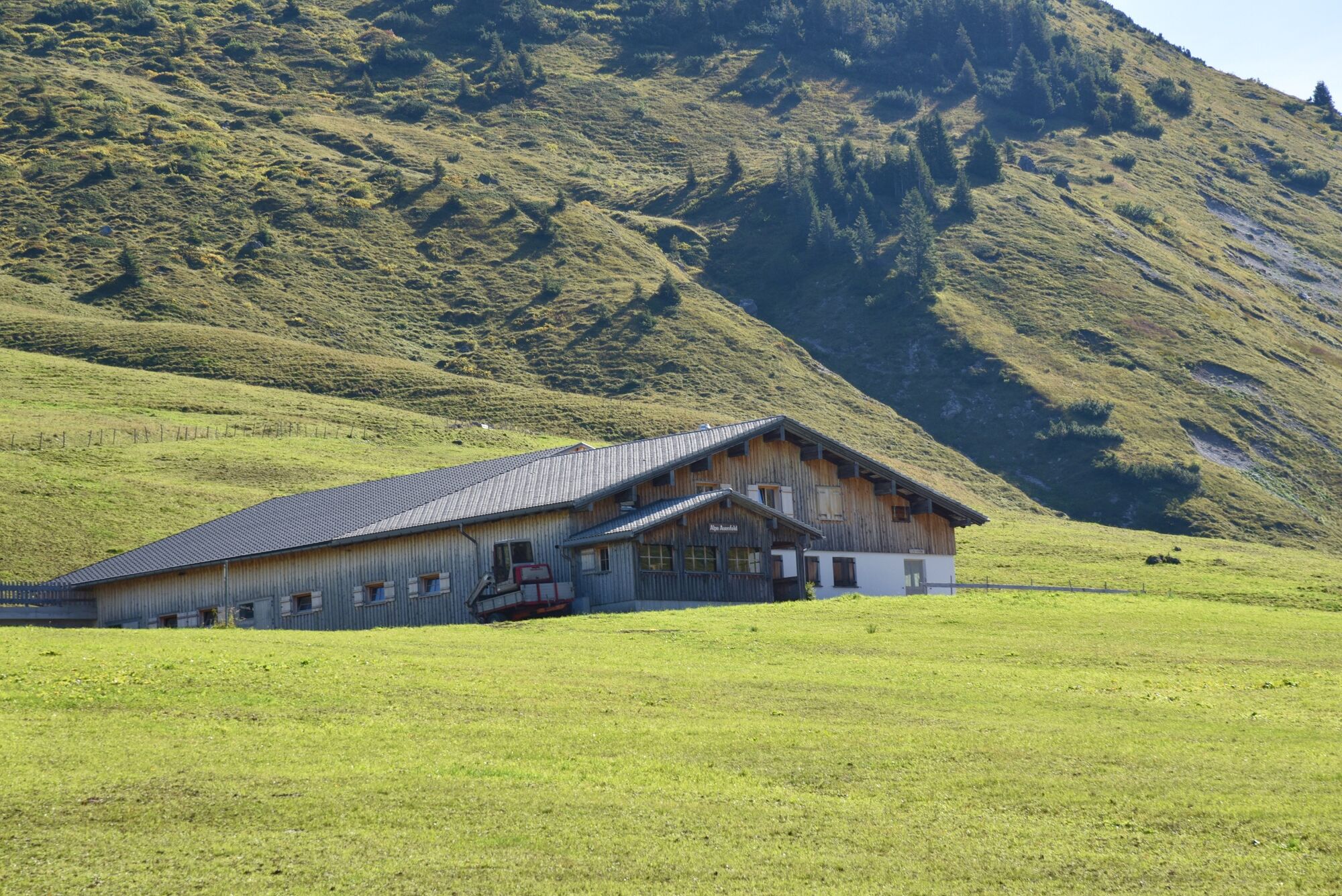
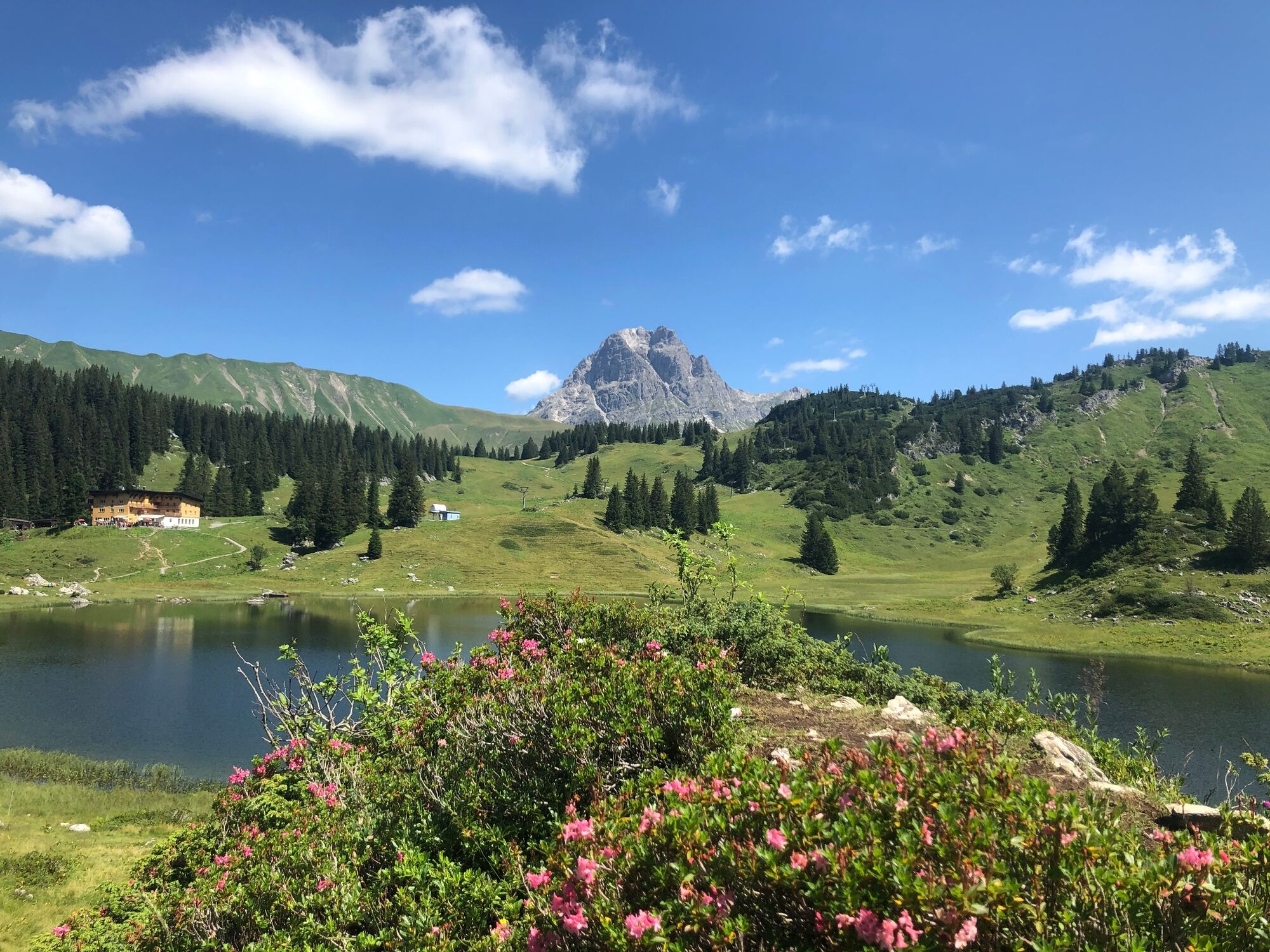
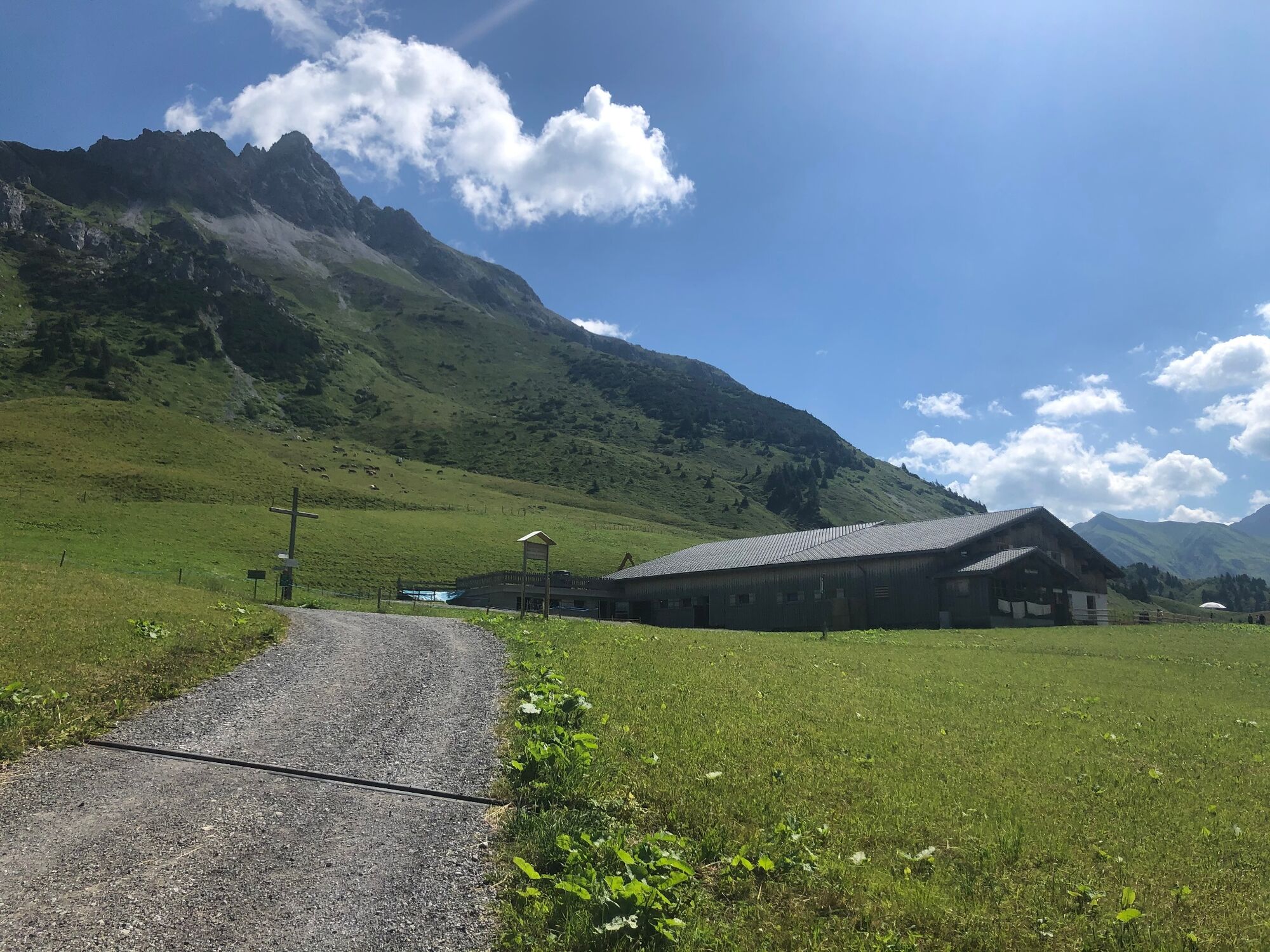
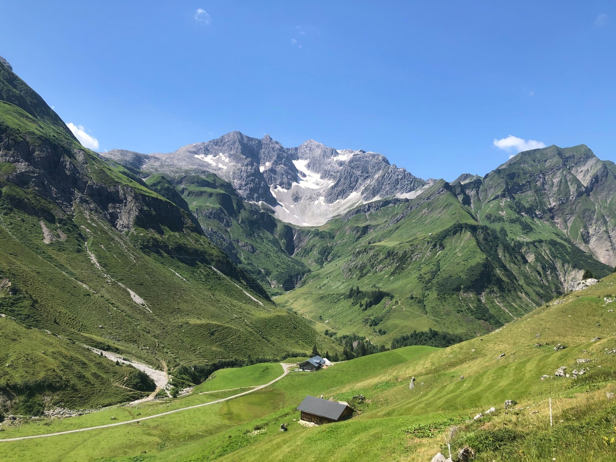
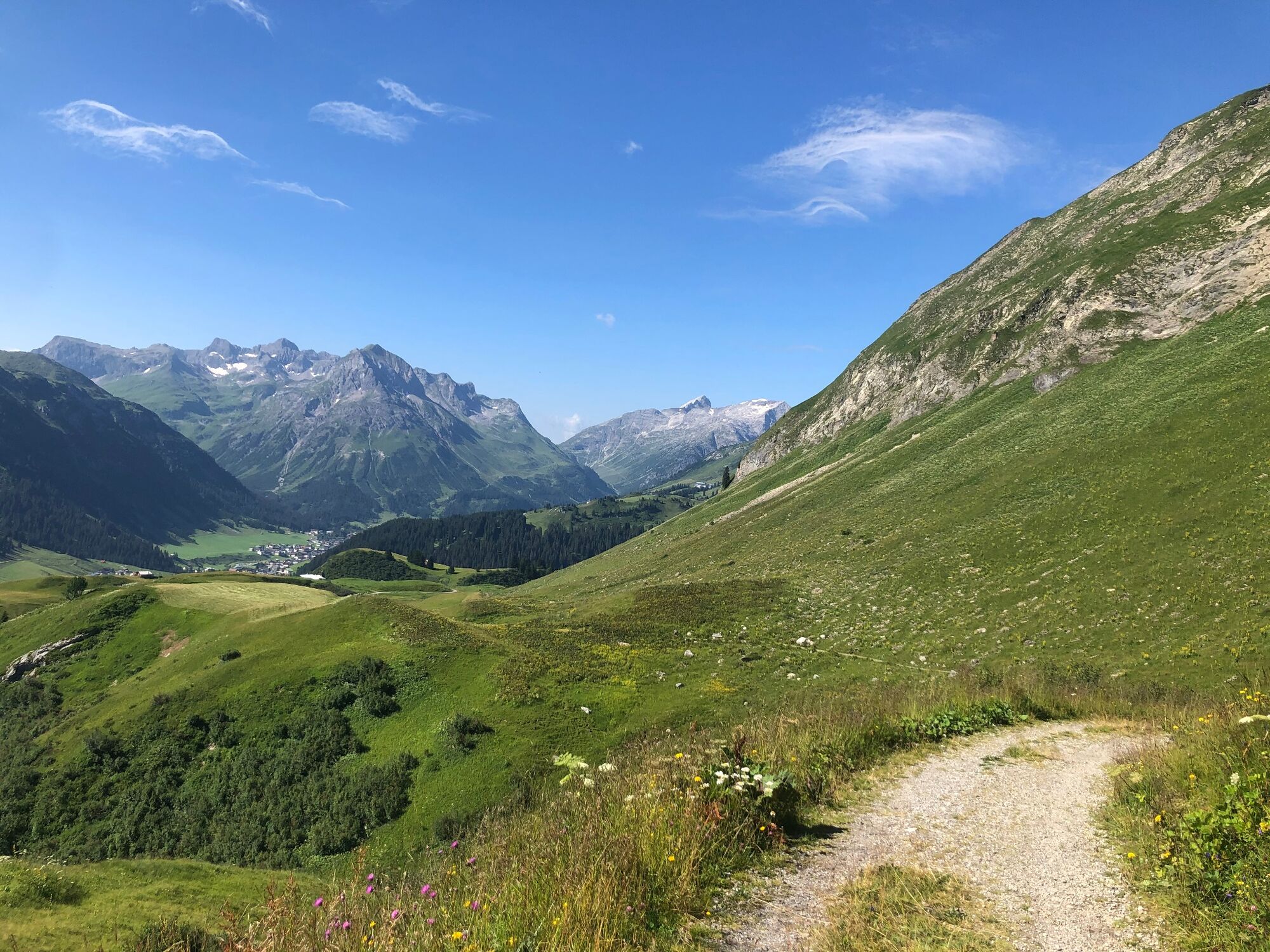
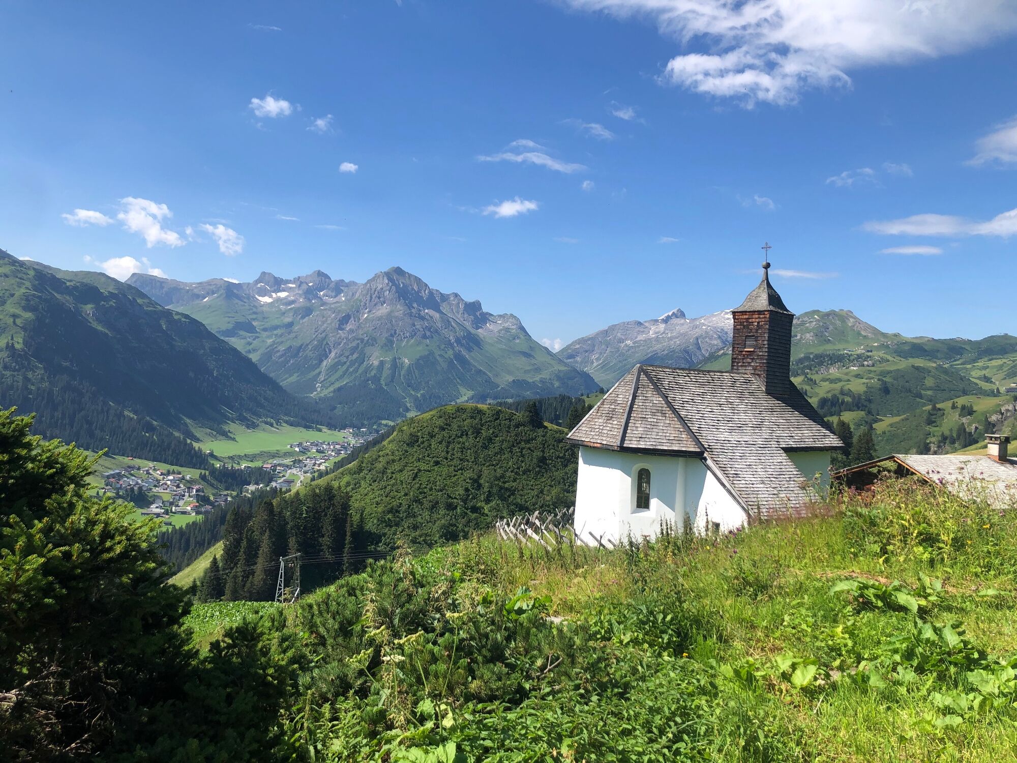
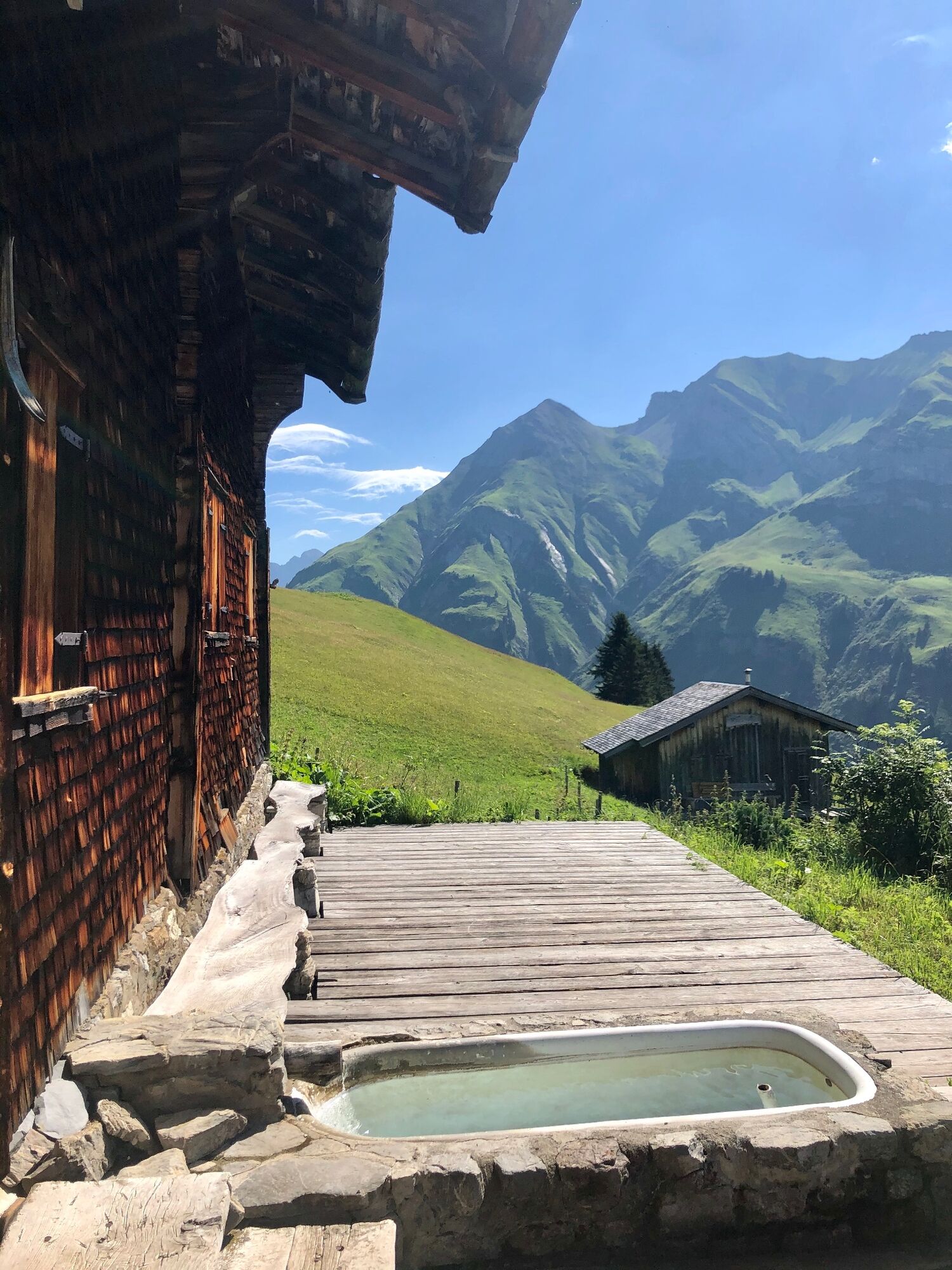
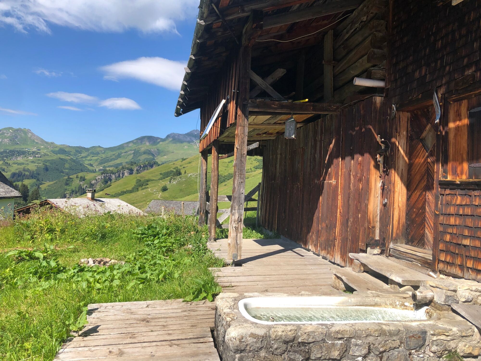
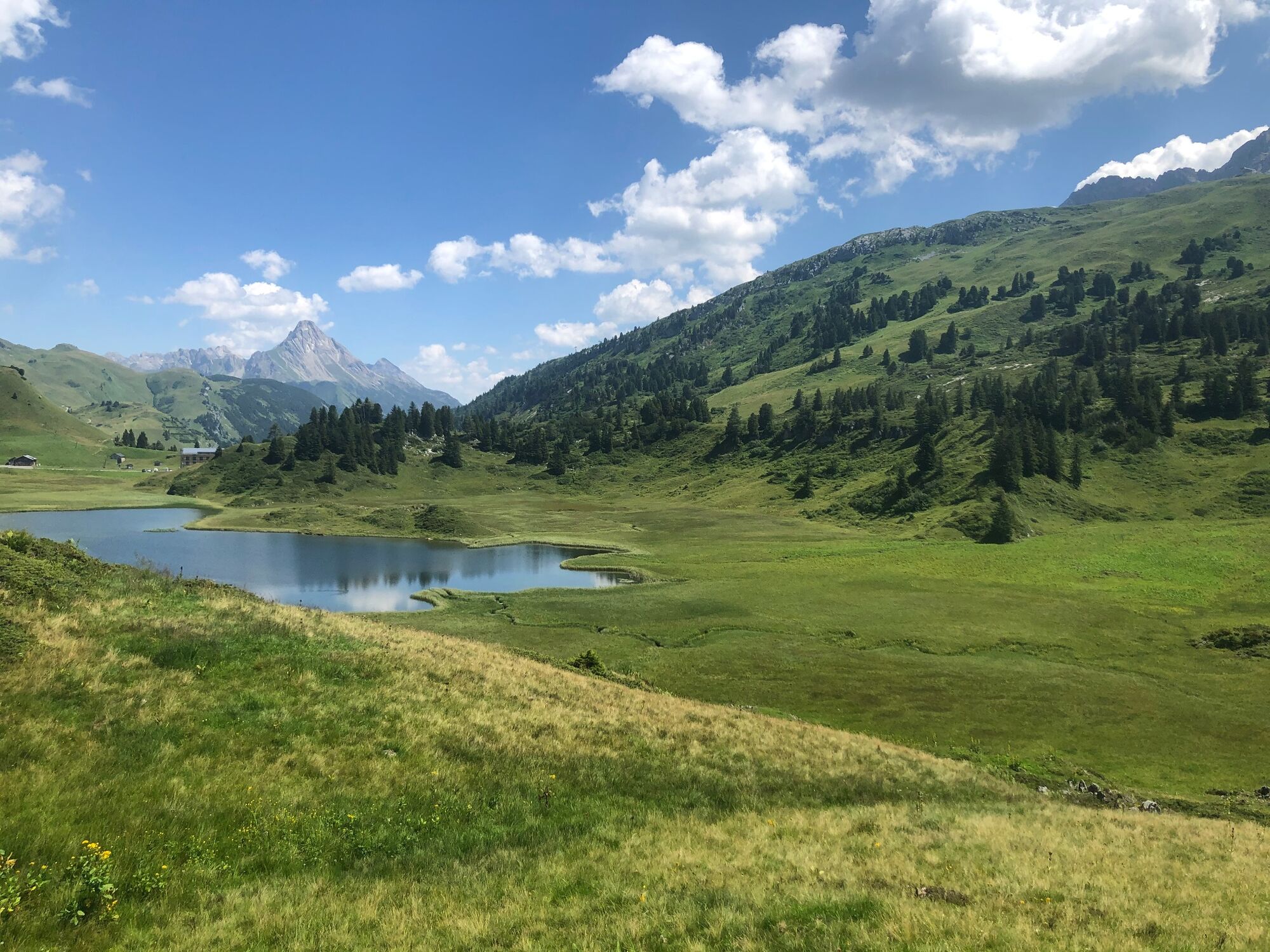
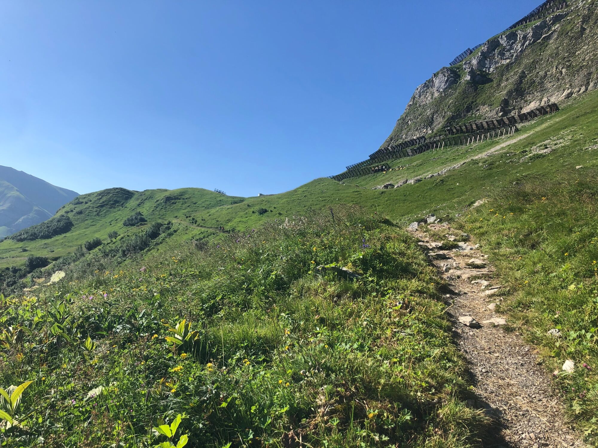
Schöne Bergwanderung zur Alpe Unterauenfeld in Lech.
- Difficulty
-
medium
- Rating
-
- Route
-
Steffisalp-Express0.1 kmGspa1.4 kmBürstegg3.0 kmJausenstation Bürstegg3.0 kmKarbühel (1,840 m)4.1 kmKarbühel4.8 kmUntere Auenfeldalpe5.8 km
- Best season
-
JanFebMarAprMayJunJulAugSepOctNovDec
- Highest point
- 1,943 m
- Endpoint
-
Warth Dorfplatz
- Height profile
-


- Author
-
The tour Warth-Schröcken | Zur Alpe Unterauenfeld Lech is used by outdooractive.com provided.
GPS Downloads


General info
Refreshment stop
A lot of view
Other tours in the regions


