
- Brief description
-
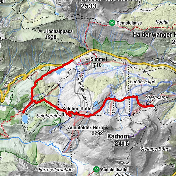
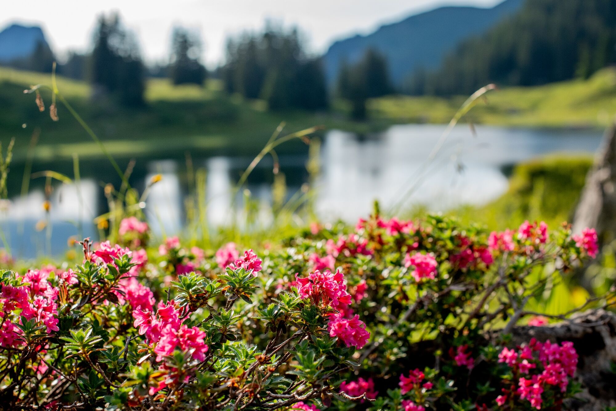
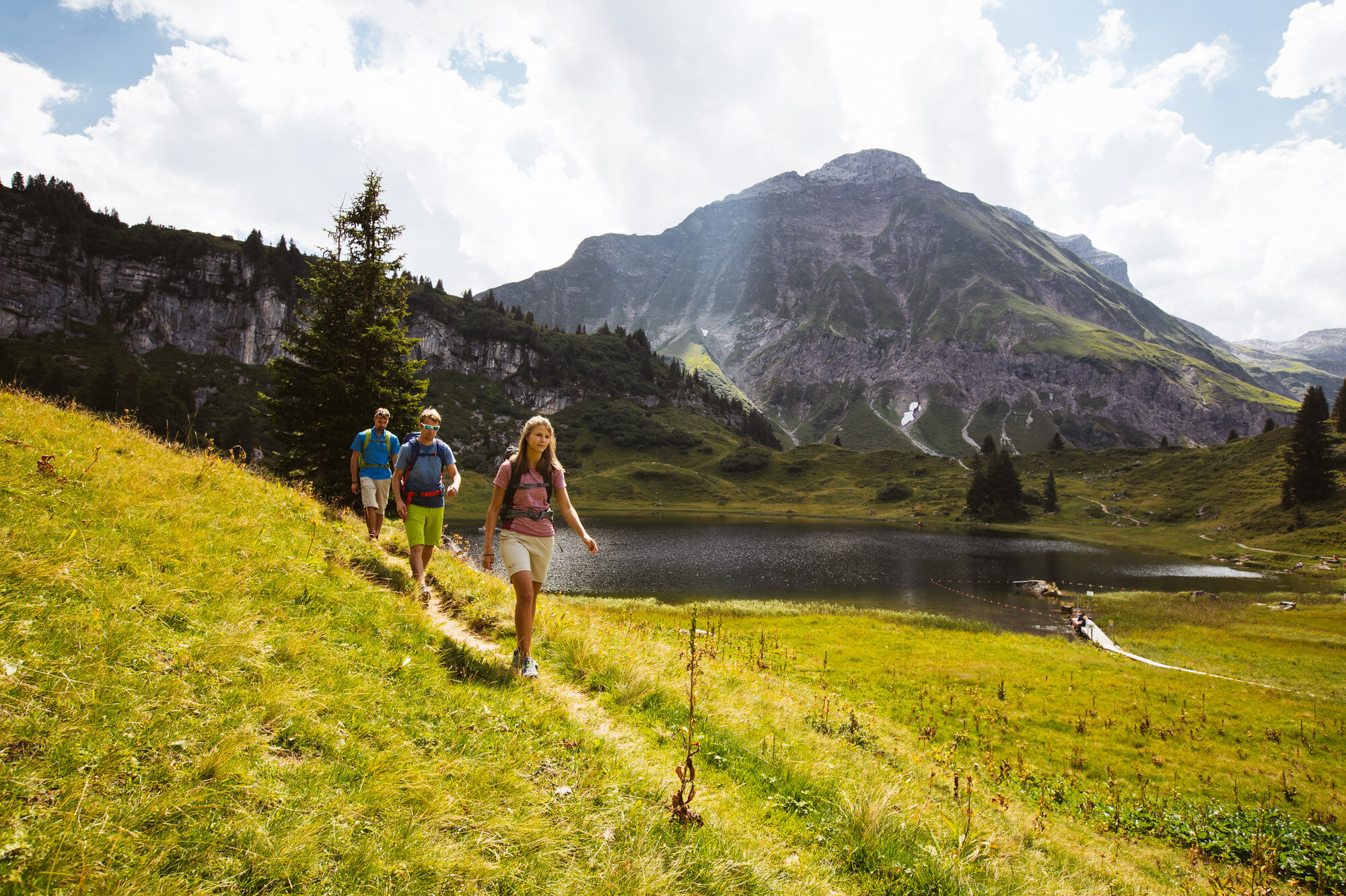
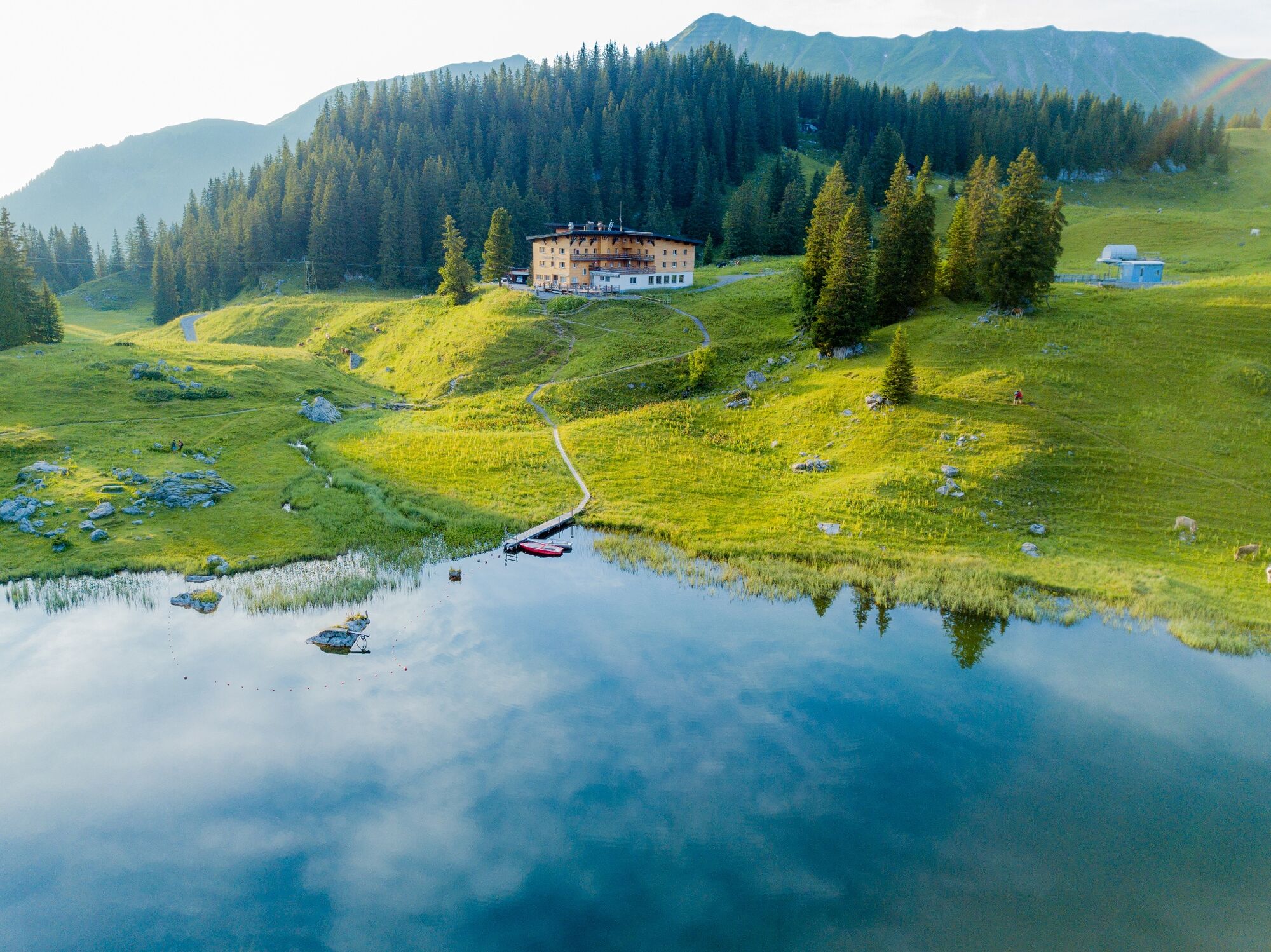
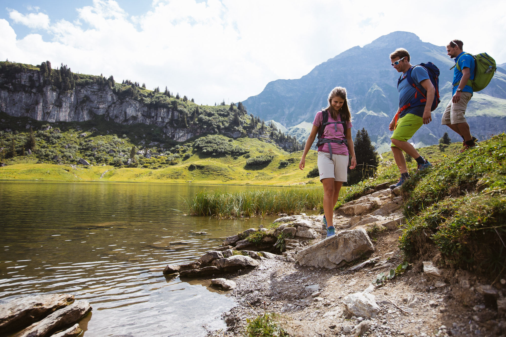
Relax again on the ascent with the Steffisalp-Express before you go. Now you have left most of the altitude meters behind and can walk at your own pace towards the Hochalphütte. Would you like to take a little break? No problem, at the Hochalphütte family Jäger warmly welcome you. Once you have reached the Salobersattel you should take a short breath and before you go down towards Körbersee take a deep breath. The pleasant silence on Lake Körbersee will enchant you, so that you don’t just want to hike past here. Why don’t you stop by the Berghotel Körbersee for a little snack? Reinforced, you go up again a small climb, until you see how the Kalbelesee stretches under the gigantic Biberkopf. Now it is not far to the bus stop (Hochkrumbach Saloberlifte). From there you can take the bus back to the parking lot Steffisalp.
- Difficulty
-
medium
- Rating
-
- Starting point
-
Steffisalp-Express
- Route
-
Hochalphütte1.7 kmSalober-Sattel (1,792 m)3.8 km
- Best season
-
JanFebMarAprMayJunJulAugSepOctNovDec
- Description
-
Touring.
Steffisalp-Express - Hochalphütte - Saloberkopf - Salobersattel - Körbersee - Kalbelesee - Hochtannbergpass
- Directions
-
Touring.
Steffisalp-Express - Hochalphütte - Saloberkopf - Salobersattel - Körbersee - Kalbelesee - Hochtannbergpass
- Highest point
- 2,014 m
- Endpoint
-
Hochtannbergpass
- Height profile
-

- Equipment
-
This should never be missing on the mountain.
Backpack, First-Aid Set incl. Bladder plaster, telephone with emergency number, cash, drinking bottle, pocket knife, provisions, sun protection in good weather.
- Safety instructions
-
Emergency numbers.
140 - Alpine emergencies throughout Austria
144 - Alpine emergencies in Vorarlberg
112 - Euro emergency call
- Additional information
- Directions
- Public transportation
- Parking
- Author
-
The tour From Steffisalp-Express to Körbersee and to Kalbelesee is used by outdooractive.com provided.