

- Brief description
-
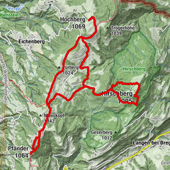
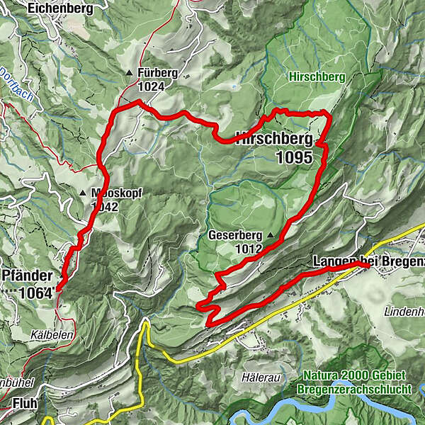
Popular family hike from Pfänder, the local mountain of the inhabitants of Bregenz, across the Hirschberg to Langen.
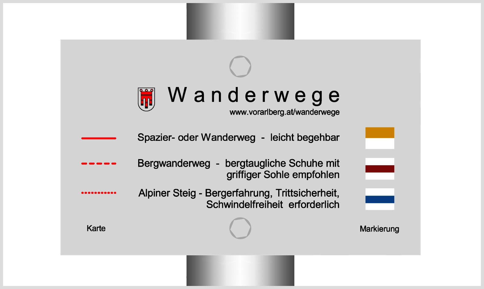
- Difficulty
-
medium
- Rating
-
- Starting point
-
Bregenz, Pfänderbahn summit station
- Route
-
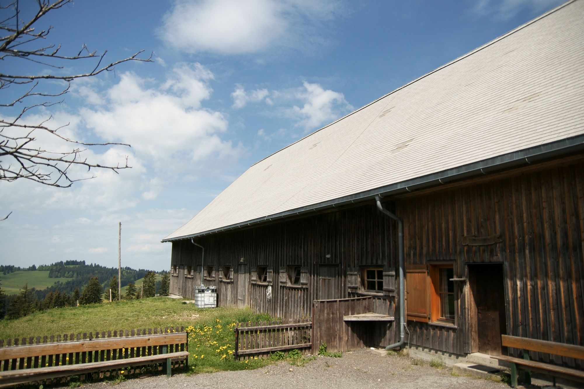
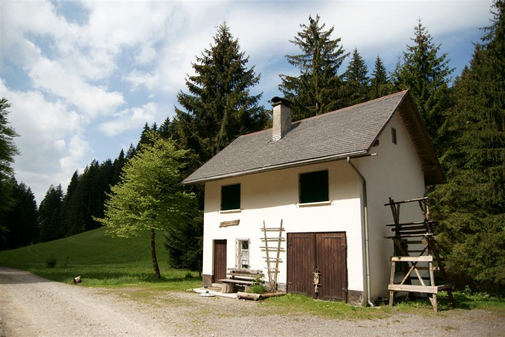
Bregenz (427 m)Pfänder (1,064 m)0.2 kmTheresienkapelle0.5 kmMoos1.3 kmJungholz2.9 kmHirschbergalpe5.7 kmHirschberg (1,095 m)6.1 kmAhornach7.4 kmAlte Fatima-Kapelle9.8 kmNeue Fatima-Kapelle9.8 kmStollen9.8 kmGasthaus Adler11.9 kmLangen bei Bregenz11.9 km
- Best season
-
JanFebMarAprMayJunJulAugSepOctNovDec
- Description
-
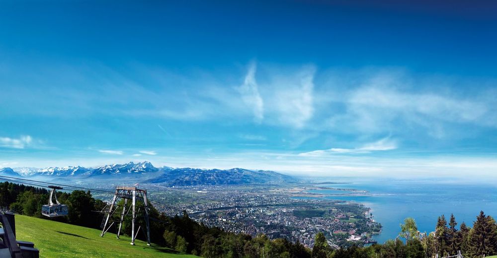
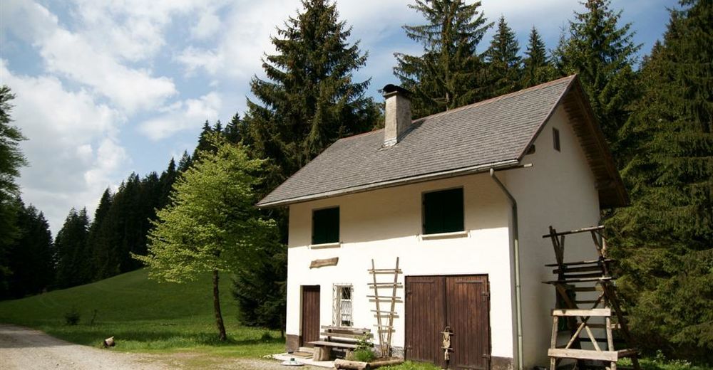
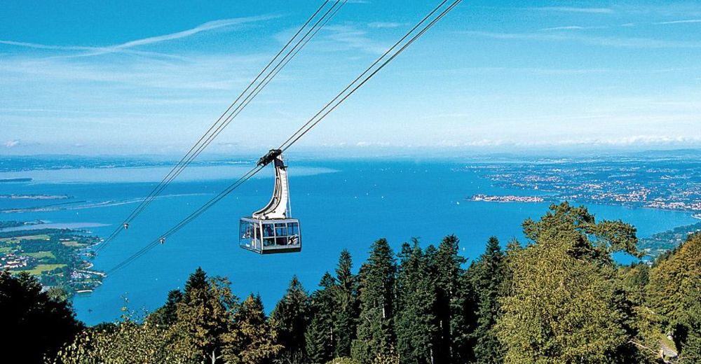
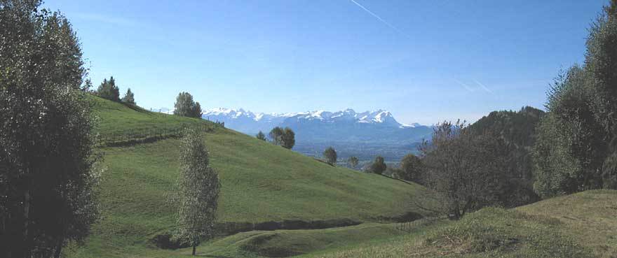
From the Pfänder you have a wonderful panoramic view over the whole of Lake Constance and the mountain peaks of Switzerland, Liechtenstein and Vorarlberg. Around the mountain station and along the route there are several inns and snack stations to choose from.
- Directions
-
Ascent with the Pfänderbahn to the summit station. From the mountain station hike via the Pfänder summit and the Jungholz parcel to the Hirschbergalpe and Hirschberg. Descent on the southern slope via the Ahornach, Geserberg and Stollen parcels to Langen. Return with the Landbus ( bus line 25) to Bregenz.
Variants: Ascent via "G'schlief", the "Gschliefweg" (approx. 1.5 h walking time). The hike is also possible in the opposite direction (Langen - Ahornach - Hirschberg - Pfänder, 3 1/2 hours).
- Highest point
- 1,088 m
- Endpoint
-
Langen, Bregenz
- Height profile
-

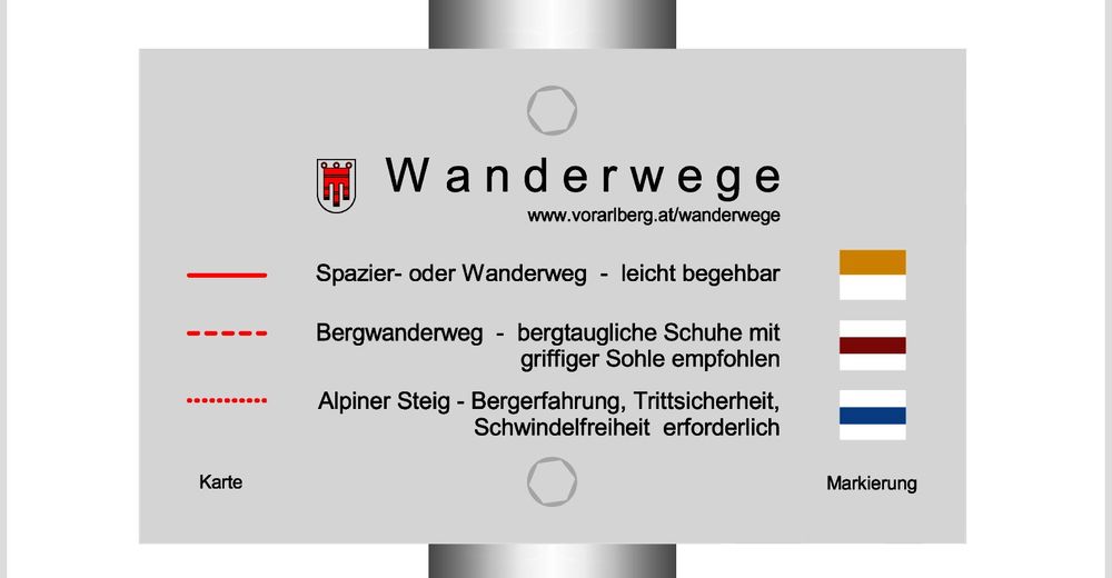
- Safety instructions
- Tips
-
Tour through the Alpine Wildlife Park below the Pfänderbahn summit station (open all year round daily from 8.30 to 18.30, free admission, approx. 30 minutes for the Wildlife Park Loop Trail).
The Pfänderbahn Museum in the valley station: The exhibition is dedicated to the history of the Pfänderbahn (open daily), Admission free).
The cheese-trail to Eichenberg/Lutzenreute with information boards on cheese production (approx. 1.5 h walking time).
- Public transportation
- Parking
-
At the Pfänderbahn or city center of Bregenz


- Author
-
The tour Bregenz | Adventure route Pfänder - Hirschberg is used by outdooractive.com provided.


General info
-
St. Gallen - Bodensee
2066
-
Bodensee - Vorarlberg
1316
-
Langen bei Bregenz
466