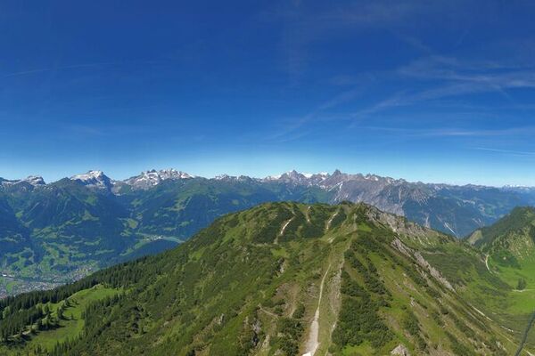
© Montafon

© Silvretta Historica; Montafon Tourismus GmbH - Julia Mangeng

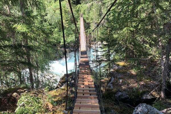
© Silvretta Historica; Stand Montafon - Julia Mangeng

© Silvretta Historica; Stand Montafon - Julia Mangeng

- Brief description
-
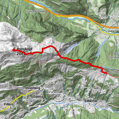
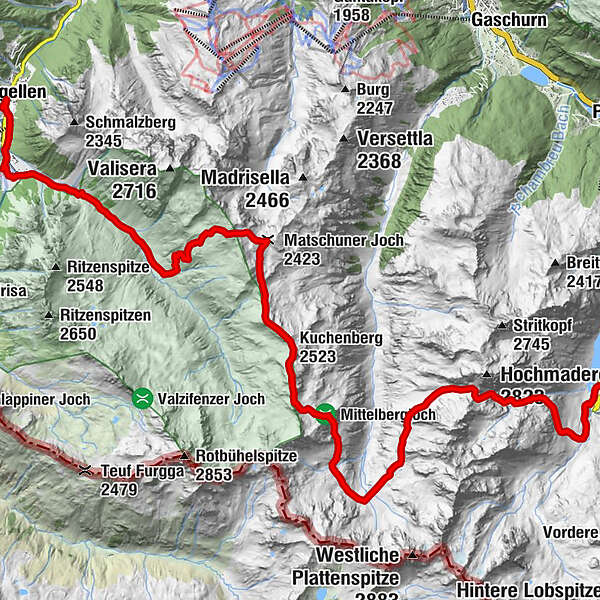
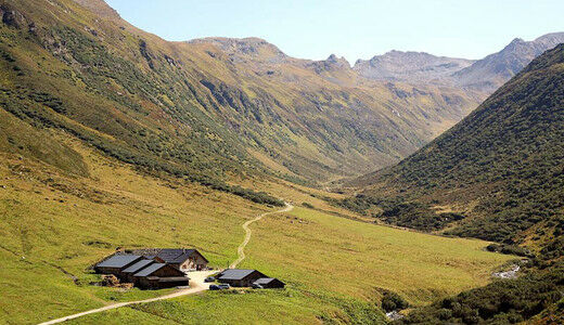
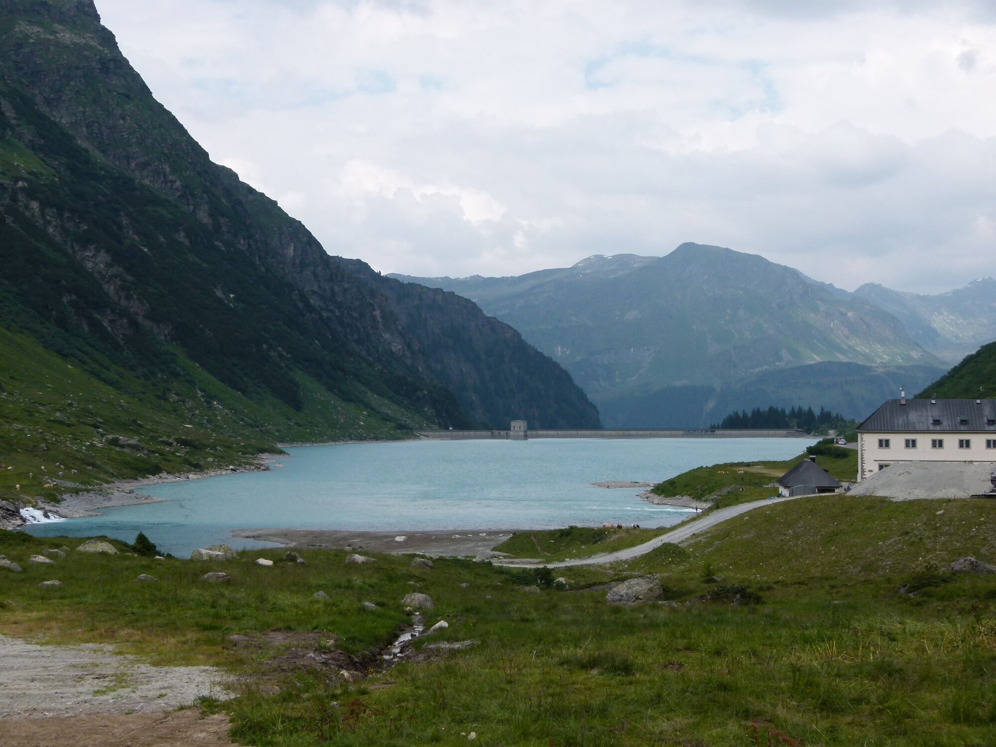
Vermuntsee - Hochmadererjoch - Tübinger Hütte - Vergaldaalpe - Vergaldatal - Zentrum Gargellen
- Difficulty
-
difficult
- Rating
-
- Route
-
Tübinger Hütte6.8 kmVergaldner Joch (2,515 m)10.0 kmVorderberg (2,553 m)10.5 kmKuchenberg (2,523 m)11.2 kmMatschuner Joch (2,423 m)13.2 kmHeimbühel Joch13.9 kmVergalda20.1 kmBarga20.4 kmGargellner Stoba21.4 kmGargellen21.5 kmKuratienkirche Hl. Maria Magdalena21.6 km
- Best season
-
JanFebMarAprMayJunJulAugSepOctNovDec
- Highest point
- 2,525 m
- Endpoint
-
Zentrum Gargellen
- Height profile
-


-

-
AuthorThe tour Vom Vermuntstausee nach Gargellen is used by outdooractive.com provided.
GPS Downloads


Other tours in the regions
-
Montafon
1381
-
Gargellen im Montafon
352